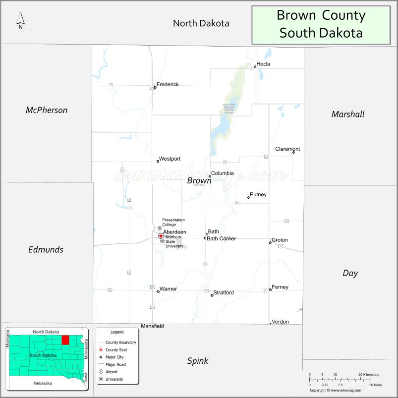
Brown County is a county in the U.S. state of South Dakota. As of the 2020 United States Census, the population was 38,301, making it the fourth-most populous county in South Dakota. Its county seat is Aberdeen. The county is named for Alfred Brown, of Hutchinson County, South Dakota, a Dakota Territory legislator in 1879.
Brown County is part of the Aberdeen, SD Micropolitan Statistical Area.
| Name: | Brown County |
|---|---|
| FIPS code: | 46-013 |
| State: | South Dakota |
| Founded: | July 6, 1881 |
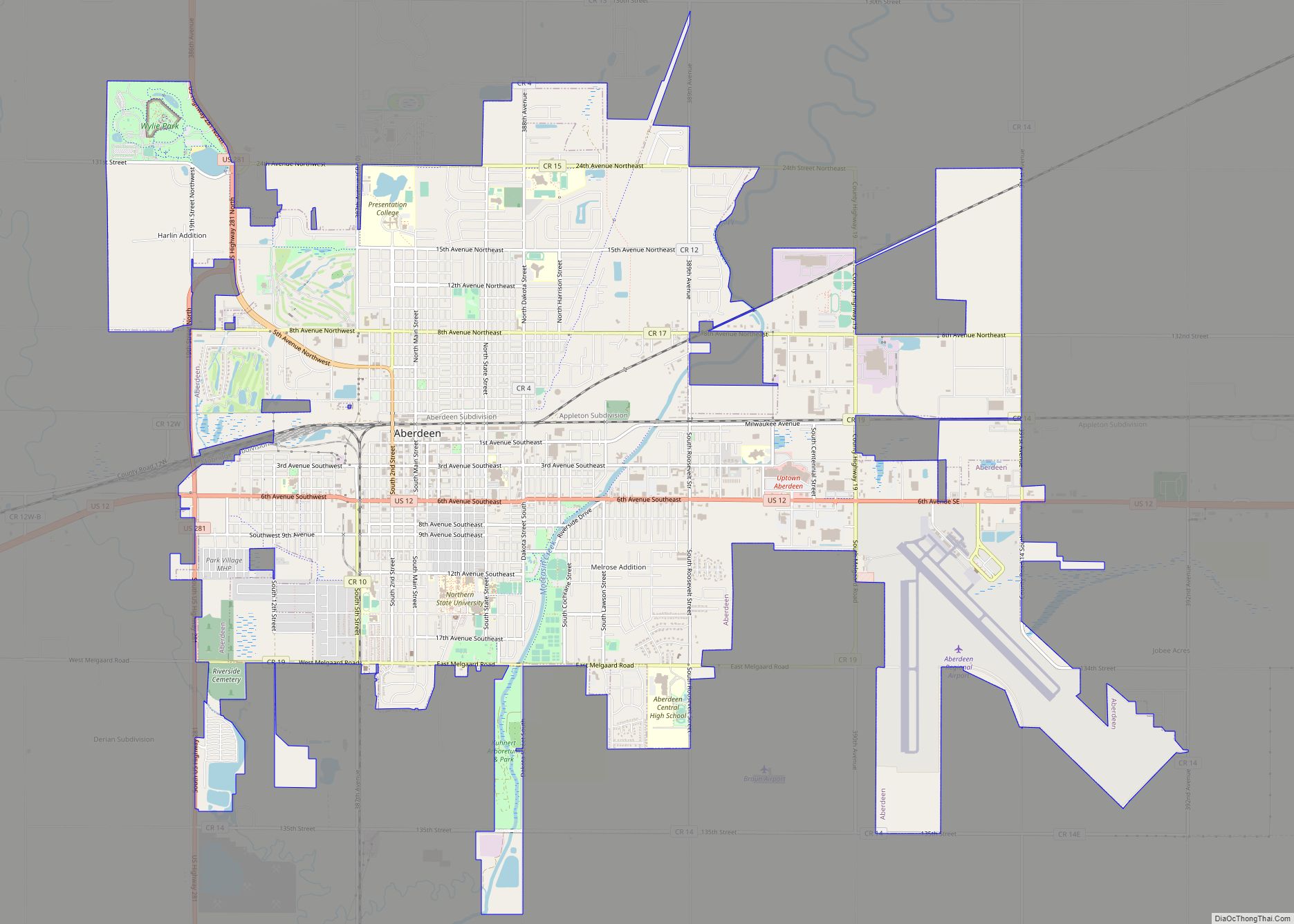
| Seat: | Aberdeen |
| Largest city: | Aberdeen |
| Total Area: | 1,731 sq mi (4,480 km²) |
| Land Area: | 1,713 sq mi (4,440 km²) |
| Total Population: | 38,301 |
| Population Density: | 22/sq mi (8.5/km²) |
| Time zone: | UTC−6 (Central) |
| Summer Time Zone (DST): | UTC−5 (CDT) |
| Website: | www.brown.sd.us |
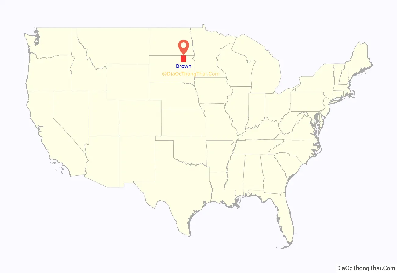
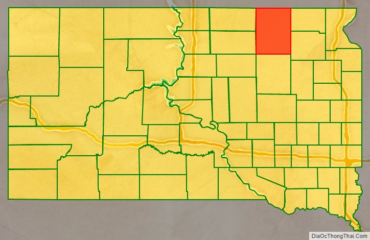
Brown County location map. Where is Brown County?
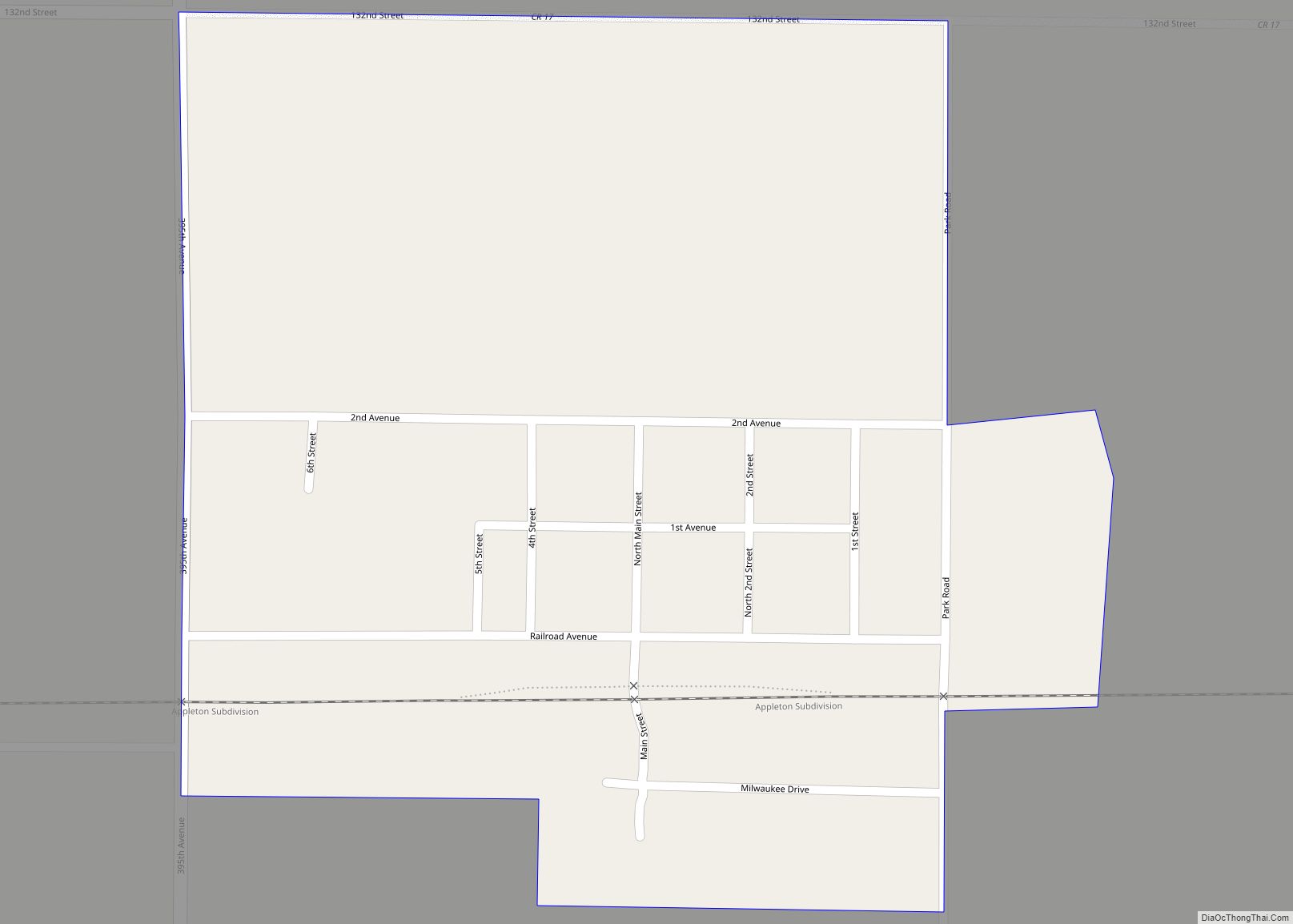
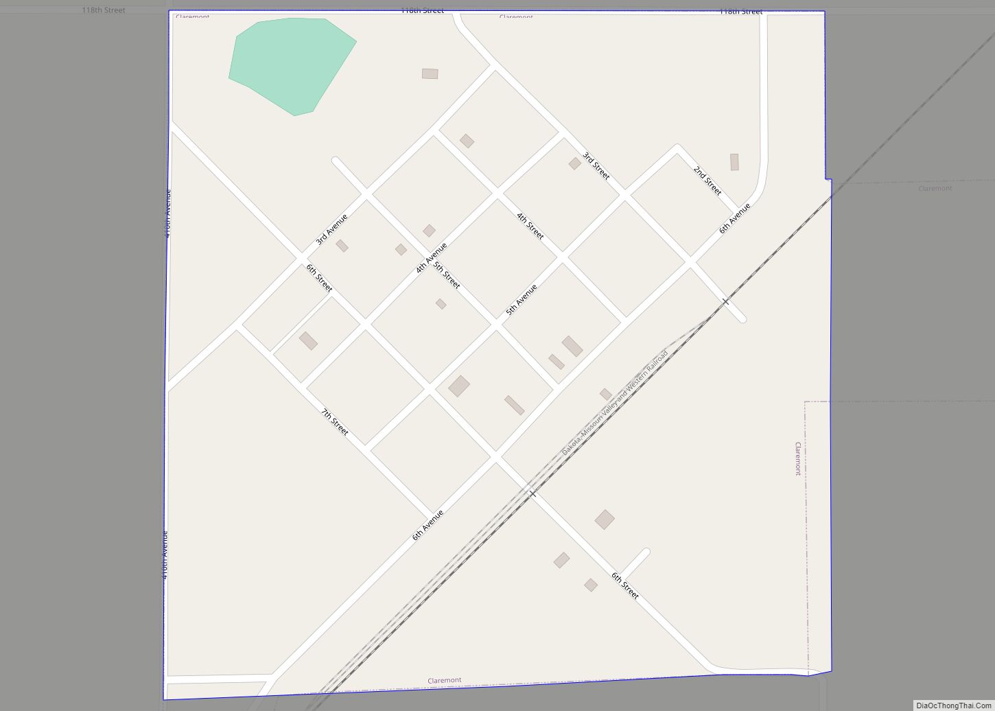
Brown County Road Map
Geography
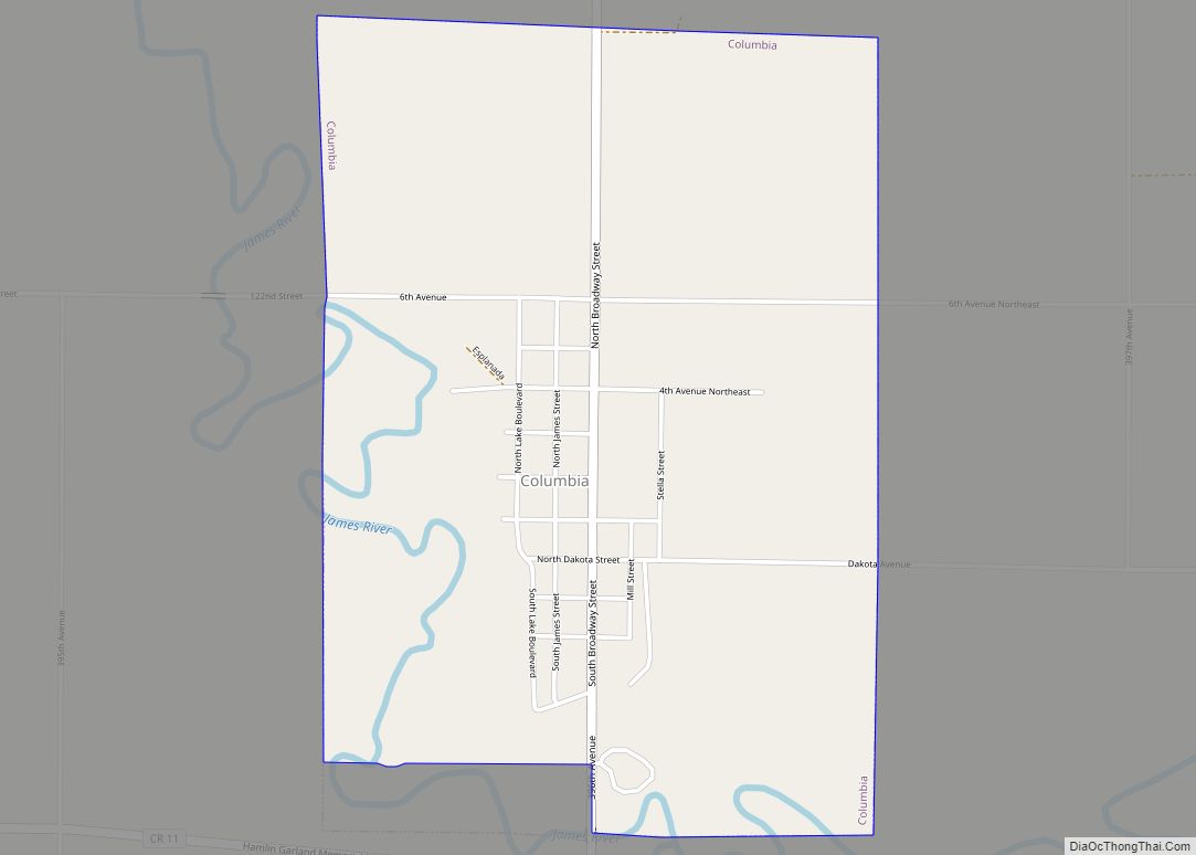
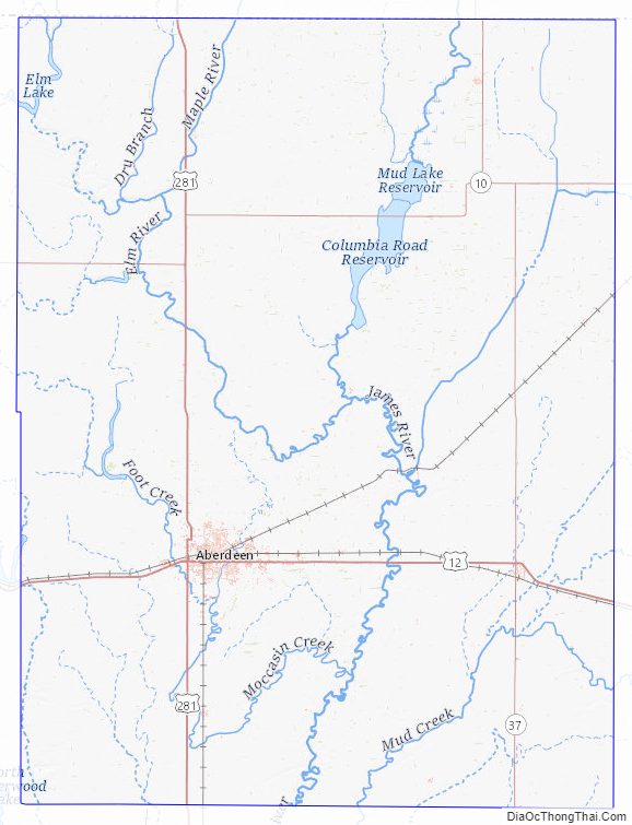
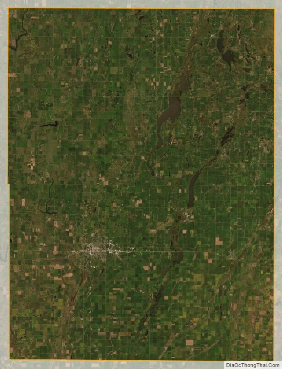
Brown County lies on the north side of South Dakota. Its north boundary line abuts the south boundary line of the state of North Dakota. The James River flows south-southwest through the county; its entry point into neighboring Spink County marks Brown County’s lowest elevation: 1,266′ (386m) ASL. The terrain of Brown County consists of rolling terrain, sloping to the south and east, largely devoted to agriculture.
The county has a total area of 1,731 square miles (4,480 km), of which 1,713 square miles (4,440 km) is land and 18 square miles (47 km) (1.0%) is water.
Major highways
- U.S. Highway 12
- U.S. Highway 281
- South Dakota Highway 10
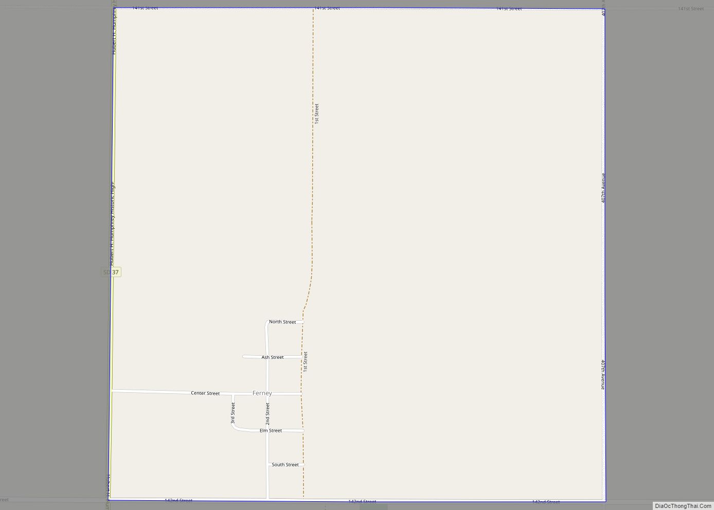
- South Dakota Highway 37
Adjacent counties
- Dickey County, North Dakota – north
- Sargent County, North Dakota – northeast
- Marshall County – east
- Day County – southeast
- Spink County – south
- Faulk County – southwest
- Edmunds County – southwest
- McPherson County – northwest
Protected areas
- Bodi State Game Production Area (part)
- Casanova State Game Production Area
- Columbia State Game Production Area
- Cutler State Game Production Area
- Diagonal Trees State Game Production Area
- Elm Creek State Game Production Area (part)
- Erickson State Game Production Area
- Hansen Preserve State Game Production Area
- Hart Quarter State Game Production Area
- Hecla State Game Production Area
- Jilek-Dahme State Game Production Area
- Pigors Lake State Game Production Area
- Putney Slough State Game Production Area
- Putney State Game Production Area
- Renziehausen Slough State Game Bird Refuge
- Renziehausen State Game Production Area (part)
- Richmond Dam State Game Production Area
- Richmond Lake State Recreation Area
- Richmond State Lakeside Use Area
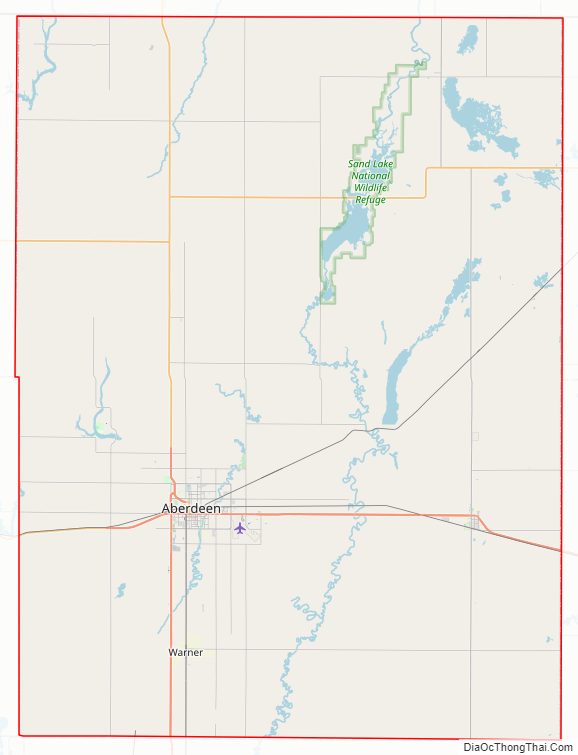
- Sand Lake National Wildlife Refuge
- Zabrasha State Game Production Area
Brown County Topographic Map
Brown County Satellite Map
Brown County Outline Map