Beadle County is a county in the U.S. state of South Dakota. As of the 2020 United States Census, the population was 19,149. Its county seat is Huron. The county was created in 1879 and organized in 1880. Beadle County comprises the Huron, SD Micropolitan Statistical Area.
| Name: | Beadle County |
|---|---|
| FIPS code: | 46-005 |
| State: | South Dakota |
| Founded: | 1879 |
| Named for: | William Henry Harrison Beadle |
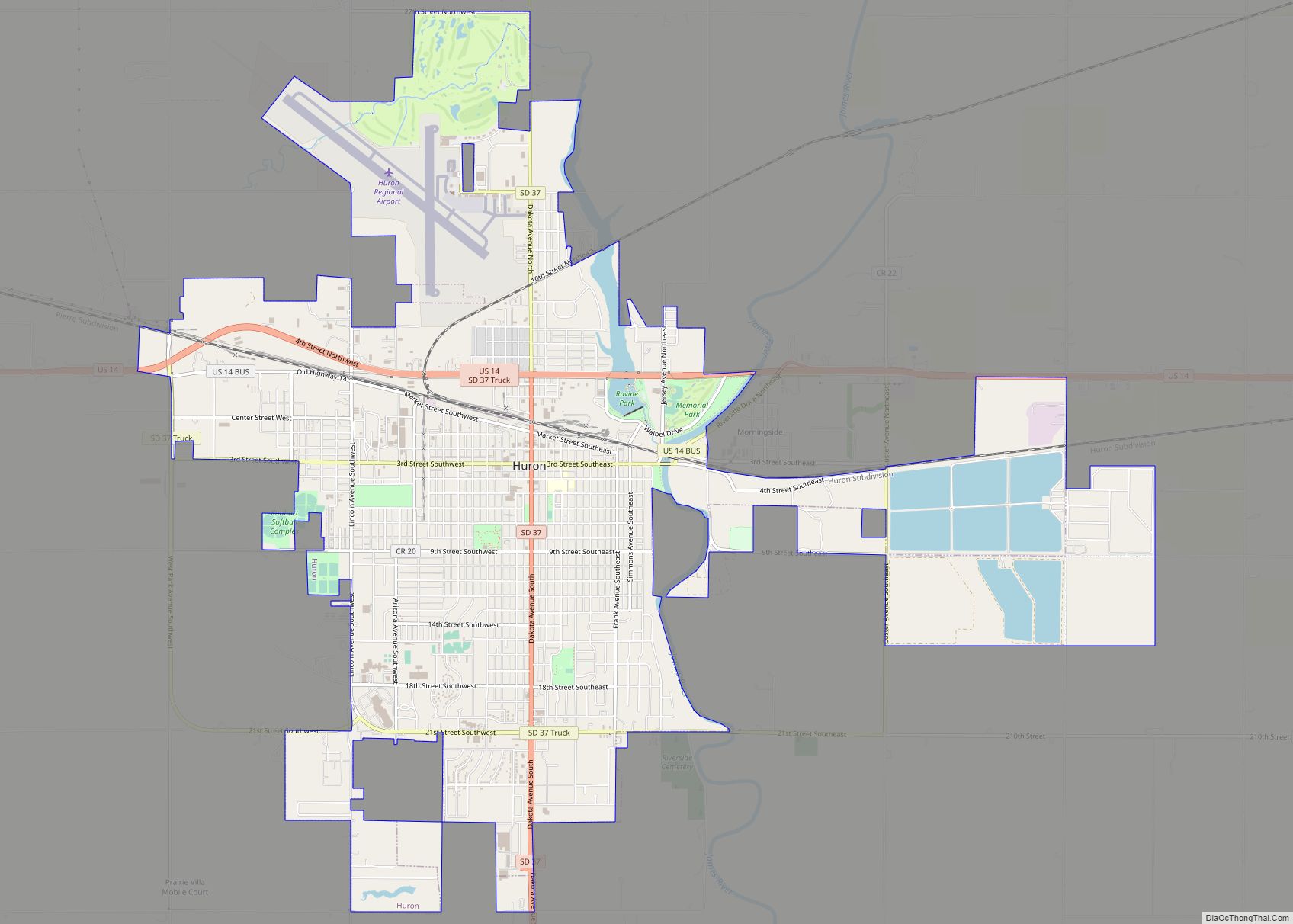
| Seat: | Huron |
| Largest city: | Huron |
| Total Area: | 1,265 sq mi (3,280 km²) |
| Land Area: | 1,259 sq mi (3,260 km²) |
| Total Population: | 19,149 |
| Population Density: | 15/sq mi (5.8/km²) |
| Time zone: | UTC−6 (Central) |
| Summer Time Zone (DST): | UTC−5 (CDT) |
| Website: | beadle.sdcounties.org |
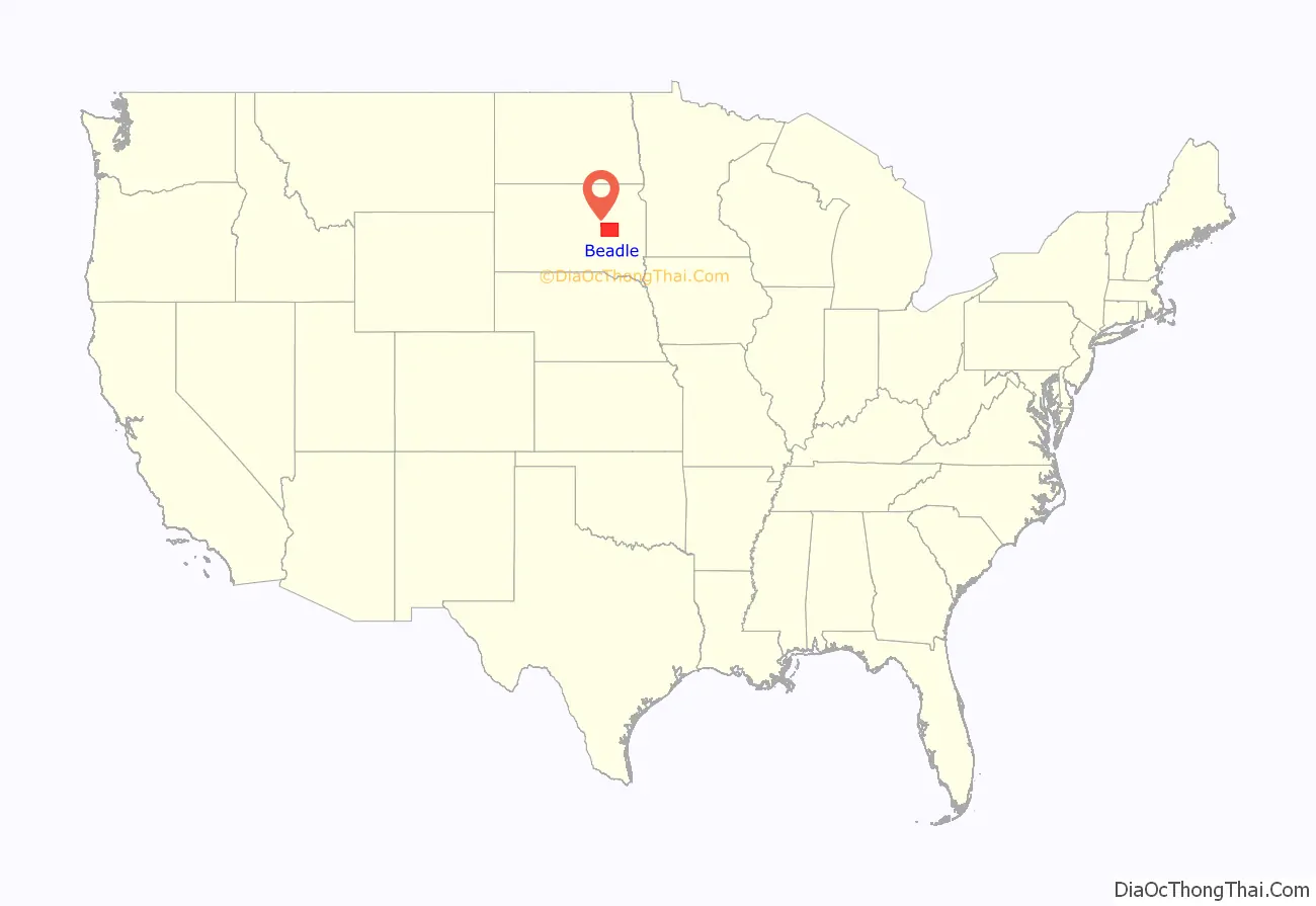
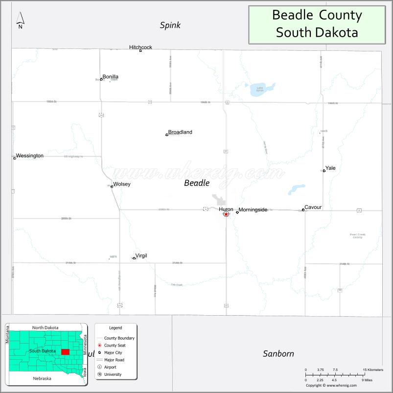
Beadle County location map. Where is Beadle County?
History
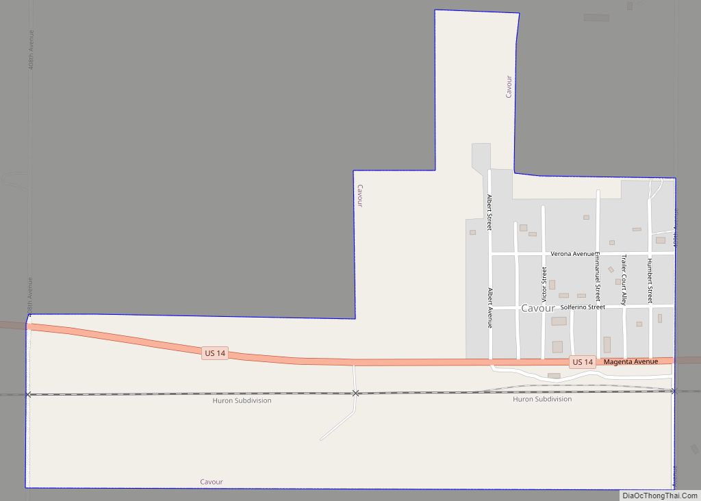
Beadle County, named for Brigadier General William Henry Harrison Beadle, was created by the Dakota Territory Legislature in 1879, and was organized in 1880 with the appointment of three county commissioners by Governor Nehemiah G. Ordway. The first town within Beadle County was Cavour, but Huron was named the county seat when the county commissioners first met there in July 1880.
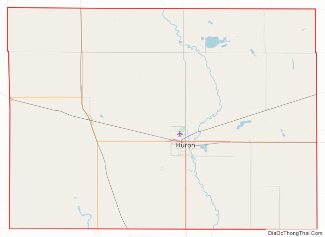
Beadle County Road Map
Geography
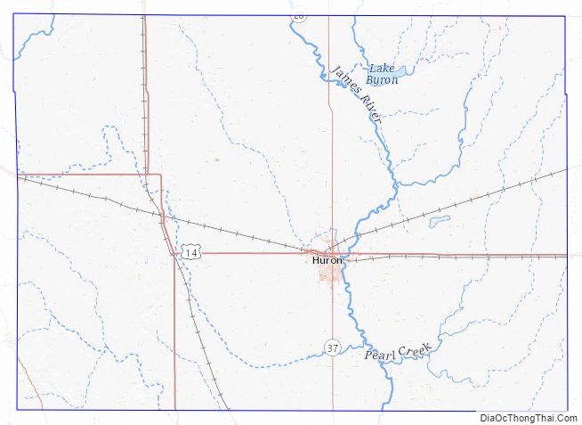
The James River flows south-southeastward through the eastern central part of Beadle County. The terrain of Beadle County consists of low rolling hills, sloping toward the river valley. The county’s highest point is its SW corner, at 1,841′ (561m) ASL. Its lowest point is on the south boundary line, where James River flows into adjacent Sanborn County, at 1,230′ (375m) ASL.
The county has a total area of 1,265 square miles (3,280 km), of which 1,259 square miles (3,260 km) is land and 6.1 square miles (16 km) (0.5%) is water.
Major highways
- U.S. Highway 14
- U.S. Highway 281
- South Dakota Highway 28
- South Dakota Highway 37
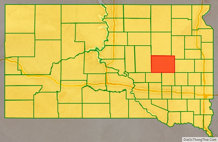
Adjacent counties
- Spink County – north
- Clark County – northeast
- Kingsbury County – east
- Sanborn County – southeast
- Jerauld County – southwest
- Hand County – west
Protected areas
- Bob Roe Memorial State Game Production Area
- Brecken Slough State Game Production Area
- Cavour Lake State Game Production Area
- James River School State game Production Area
- Lake Byron Hogsback State Game Production Area
- Mallard Slough State Game Production Area
- Mud Lake State Game Production Area
- North Byron State Game Production Area
- Norwegian/Borden State Game Production Area
- Pheasant Country State Game Production Area
- Sand Creek State Game Production Area
- South Byron State Game Production Area
- South James River State Game Production Area
- Staum Dam State Game Production Area
- Third Street Dam State Game Production Area
- Upper Cain Creek State Game Production Area
Beadle County Topographic Map
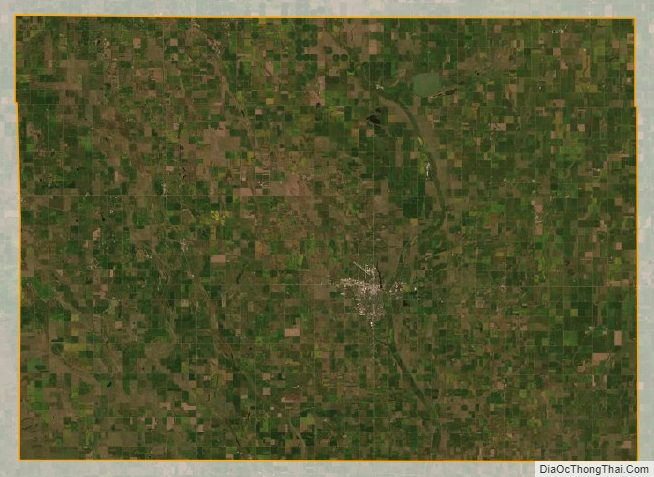
Beadle County Satellite Map
Beadle County Outline Map