Faulk County is a county in the U.S. state of South Dakota. As of the 2020 census, the population was 2,125. Its county seat is Faulkton. The county was founded in 1873 and organized in 1883. It is named for Andrew Jackson Faulk, the third Governor of Dakota Territory.
| Name: | Faulk County |
|---|---|
| FIPS code: | 46-049 |
| State: | South Dakota |
| Founded: | 1873 |
| Named for: | Andrew Jackson Faulk |
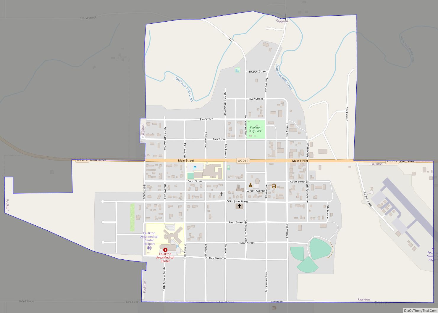
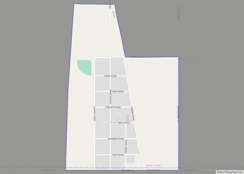
| Seat: | Faulkton |
| Largest city: | Faulkton |
| Total Area: | 1,006 sq mi (2,610 km²) |
| Land Area: | 982 sq mi (2,540 km²) |
| Total Population: | 2,125 |
| Population Density: | 2.1/sq mi (0.82/km²) |
| Time zone: | UTC−6 (Central) |
| Summer Time Zone (DST): | UTC−5 (CDT) |
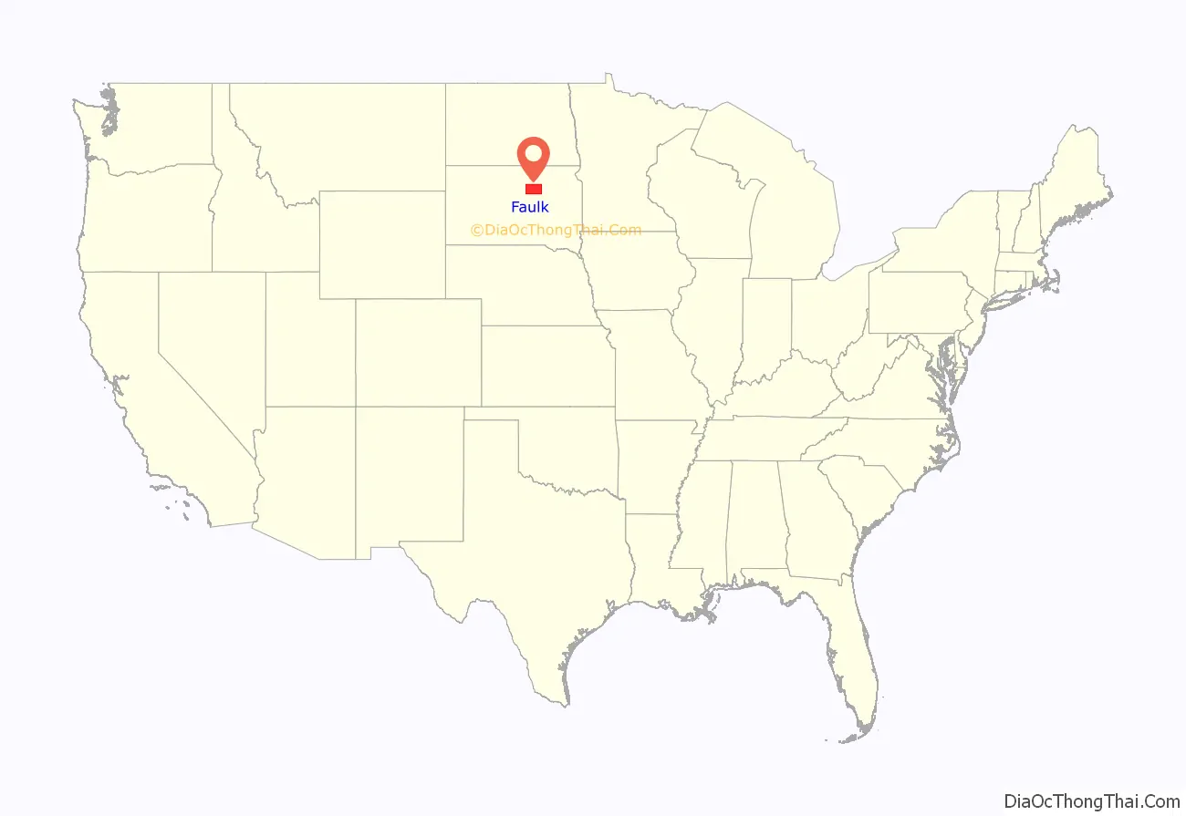
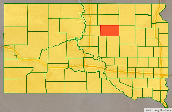
Faulk County location map. Where is Faulk County?
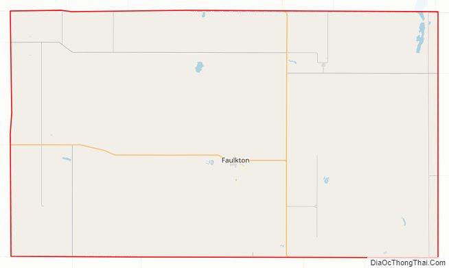
Faulk County Road Map
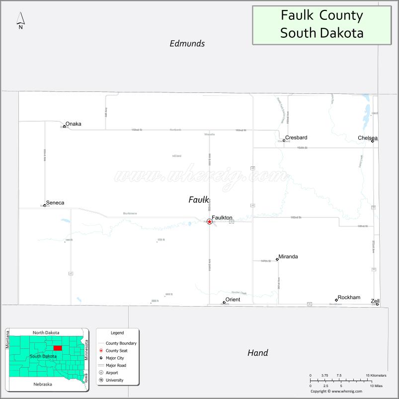
Geography
The terrain of Faulk County consists of low rolling hills, largely devoted to agriculture, sloping to the east. The highest point of the terrain is the county’s SW corner, at 1,916′ (584m) ASL. The county has a total area of 1,006 square miles (2,610 km), of which 982 square miles (2,540 km) is land and 24 square miles (62 km) (2.4%) is water.
Major highways
- U.S. Highway 212
- South Dakota Highway 20
- South Dakota Highway 45
- South Dakota Highway 47
Adjacent counties
- Edmunds County – north
- Brown County – northeast
- Spink County – east
- Hand County – south
- Hyde County – southwest
- Potter County – west
Protected areas
- Lake Faulkton State Game Refuge
- Ingalls State Game Production Area
- Gerkin State Game Production Area & Wildlife Refuge
- Lake Faulkton State Game Production Area
- Lake Faulkton State Lakeside Use Area
- North Scatterwood Lake State Waterfowl Refuge
- Sprague State Game Production Area
- South Scatterwood State Game Production Area
Lakes
- Clark Lake
- Lake Creabard
- Lake Faulkton
- North Scatterwood Lake (partial)
- South Scatterwood Lake
- Zell Lake
Faulk County Topographic Map
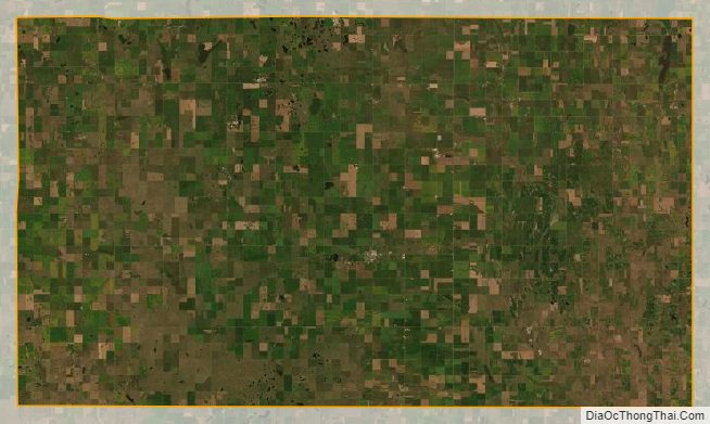
Faulk County Satellite Map
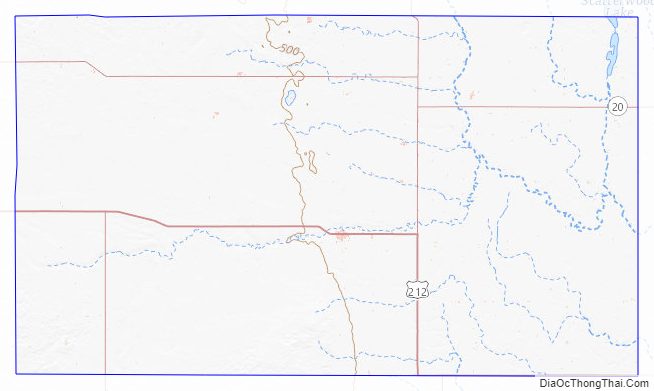
Faulk County Outline Map