El Paso County is the westernmost county in the U.S. state of Texas. As of the 2020 census, the population was 865,657, making it the ninth-most populous county in the state of Texas. Its seat is the city of El Paso, the sixth-most populous city in Texas and the 22nd-most populous city in the United States. The county was created in 1850 and later organized in 1871.
El Paso is short for “El Paso del Norte”, which is Spanish for “The Pass of the North”. It is named for the pass the Rio Grande creates through the mountains on either side of the river. The county is northeast of the Mexico–United States border.
El Paso County is included in the El Paso metropolitan area. Along with Hudspeth County, it is one of two counties of Texas entirely in the Mountain Time Zone (all other Texas counties except for northwestern Culberson County use Central Time). El Paso County is one of nine counties that comprise the Trans-Pecos region of West Texas.
| Name: | El Paso County |
|---|---|
| FIPS code: | 48-141 |
| State: | Texas |
| Founded: | 1871 |
| Seat: | El Paso |
| Largest city: | El Paso |
| Total Area: | 1,015 sq mi (2,630 km²) |
| Land Area: | 1,013 sq mi (2,620 km²) |
| Total Population: | 865,657 |
| Population Density: | 850/sq mi (330/km²) |
| Time zone: | UTC−7 (Mountain) |
| Summer Time Zone (DST): | UTC−6 (MDT) |
| Website: | www.epcounty.com |
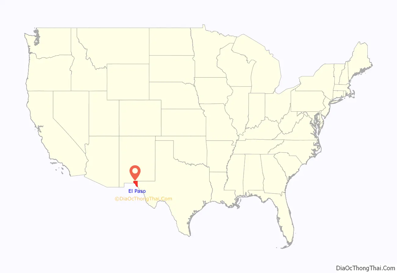
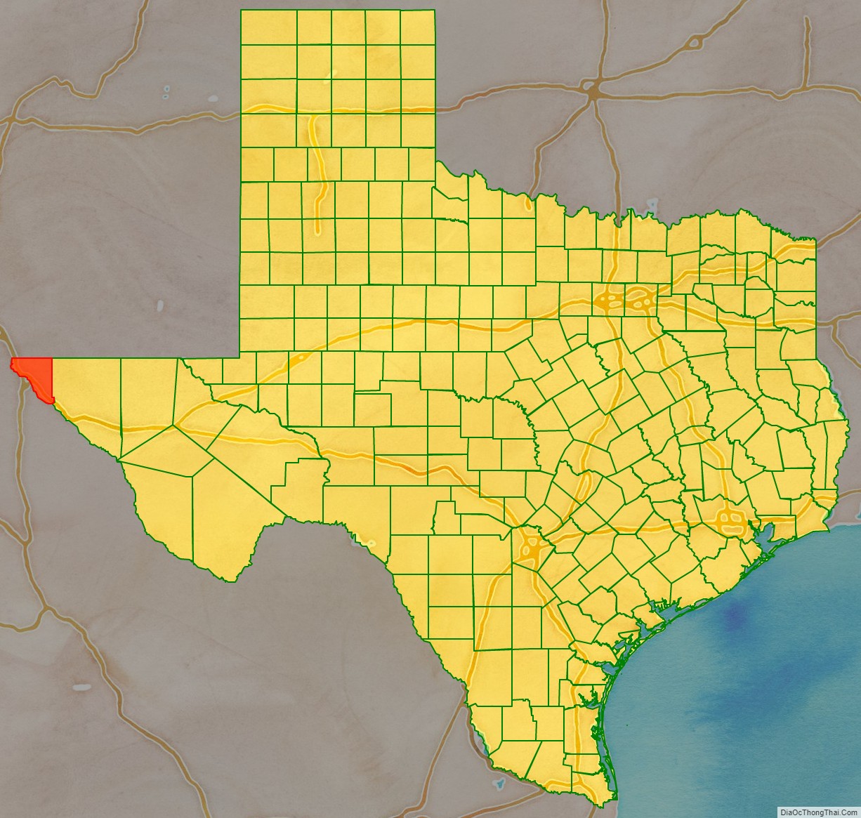
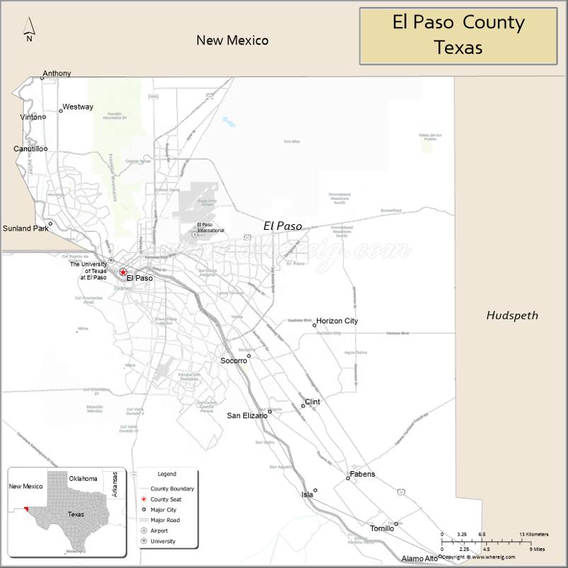
El Paso County location map. Where is El Paso County?
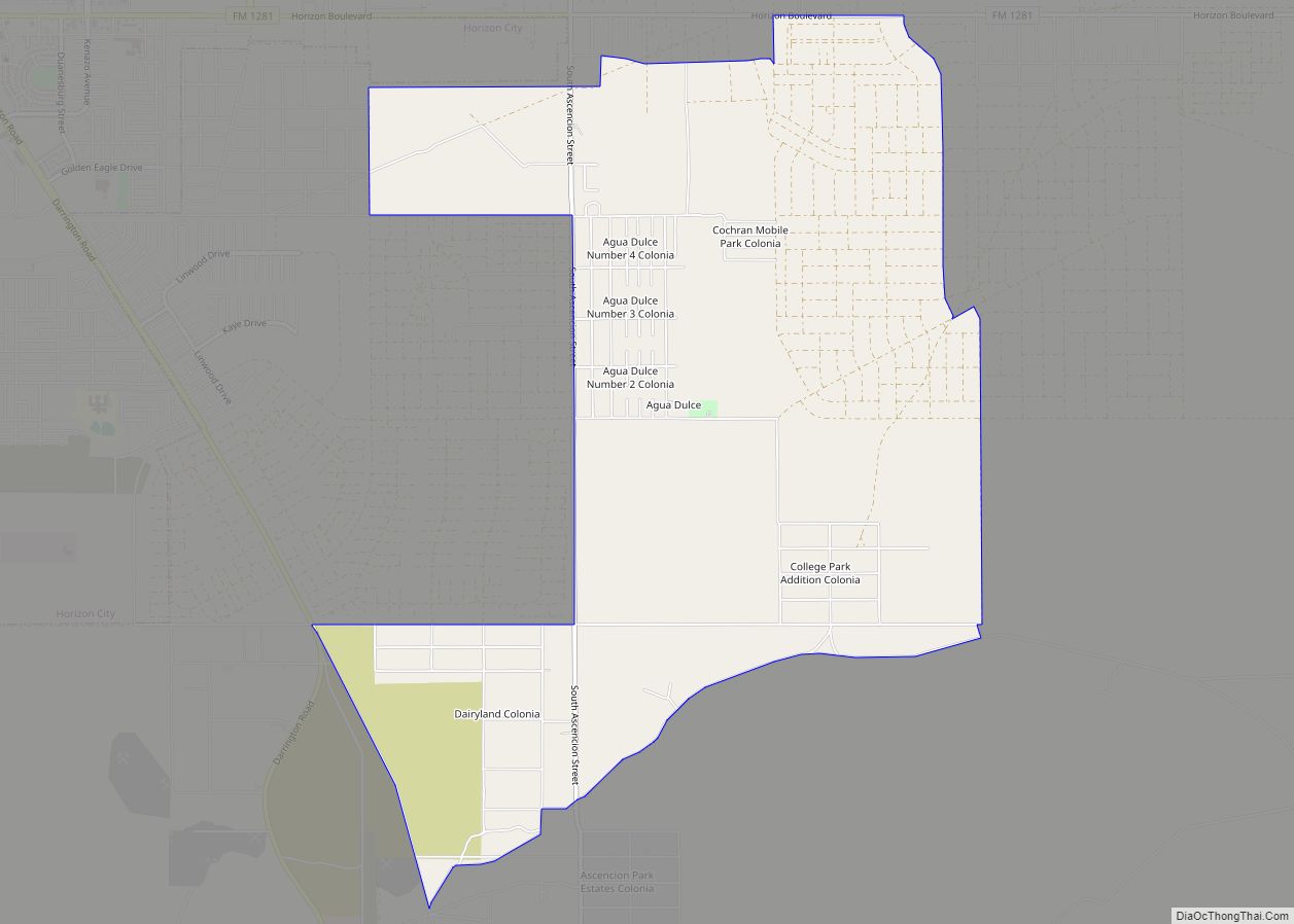
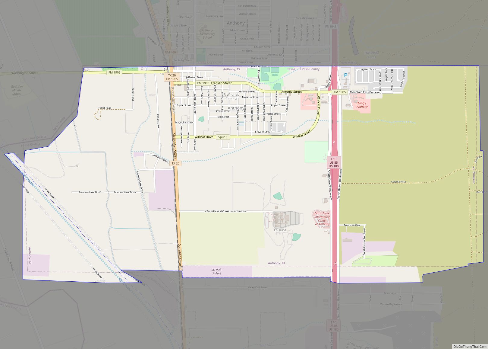
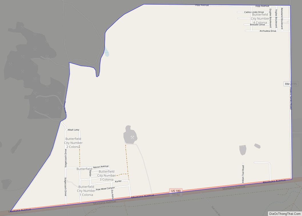
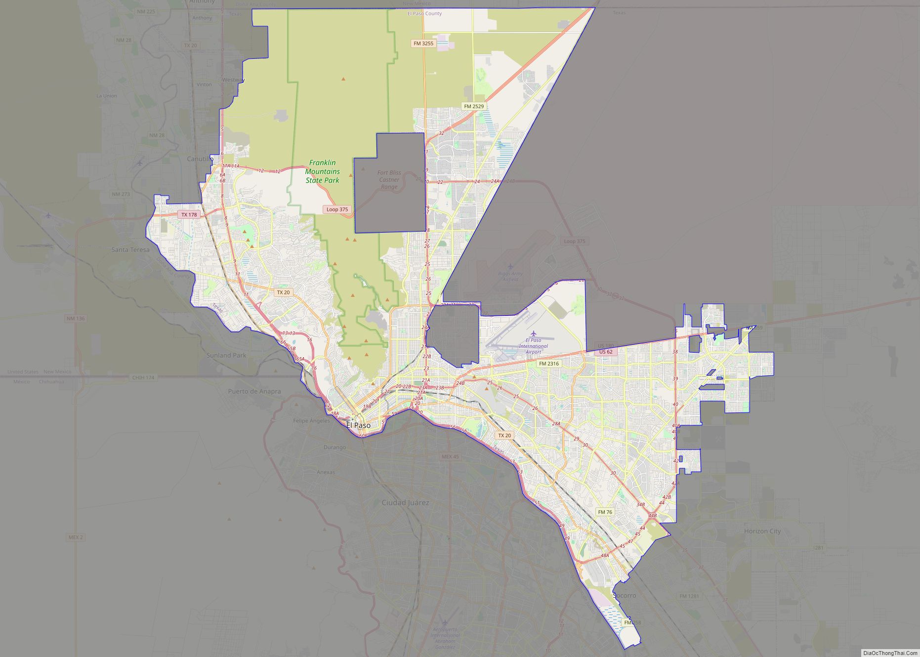
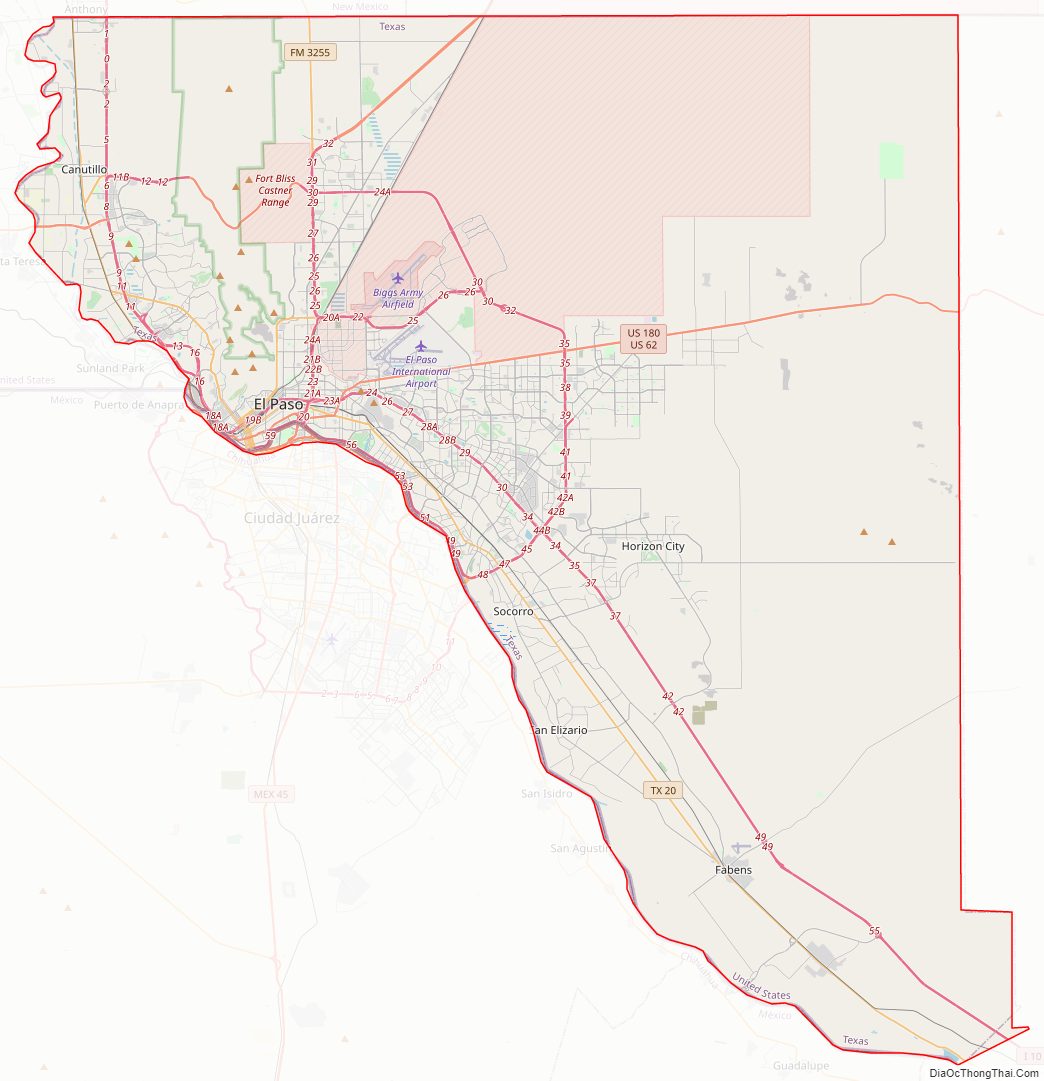
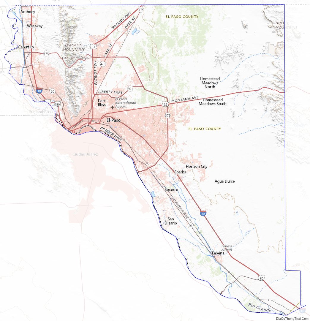
El Paso County Road Map
Geography
According to the U.S. Census Bureau, the county has a total area of 1,015 square miles (2,630 km), of which 1,013 square miles (2,620 km) is land and 2.3 square miles (6.0 km) (0.2%) is water.
Adjacent counties and municipalities
- Doña Ana County, New Mexico – northwest
- Otero County, New Mexico – northeast
- Hudspeth County, Texas – east
- Guadalupe, Chihuahua, Mexico – south
- Juárez, Chihuahua, Mexico – south
- Práxedis G. Guerrero, Chihuahua, Mexico – southeast
National protected area
- Chamizal National Memorial
- El Camino Real de Tierra Adentro National Historic Trail (part)
Major highways
- I-10
- I-110
- US 54
- Bus. US 54
- US 62
- US 180
- SH 20
- SH 178
- Loop 375
- Loop 478
- Spur 6
- Spur 16
- Spur 601
- FM 258
- FM 1281
- RM 2775
- FM 3255
- FM 3380
El Paso County Topographic Map
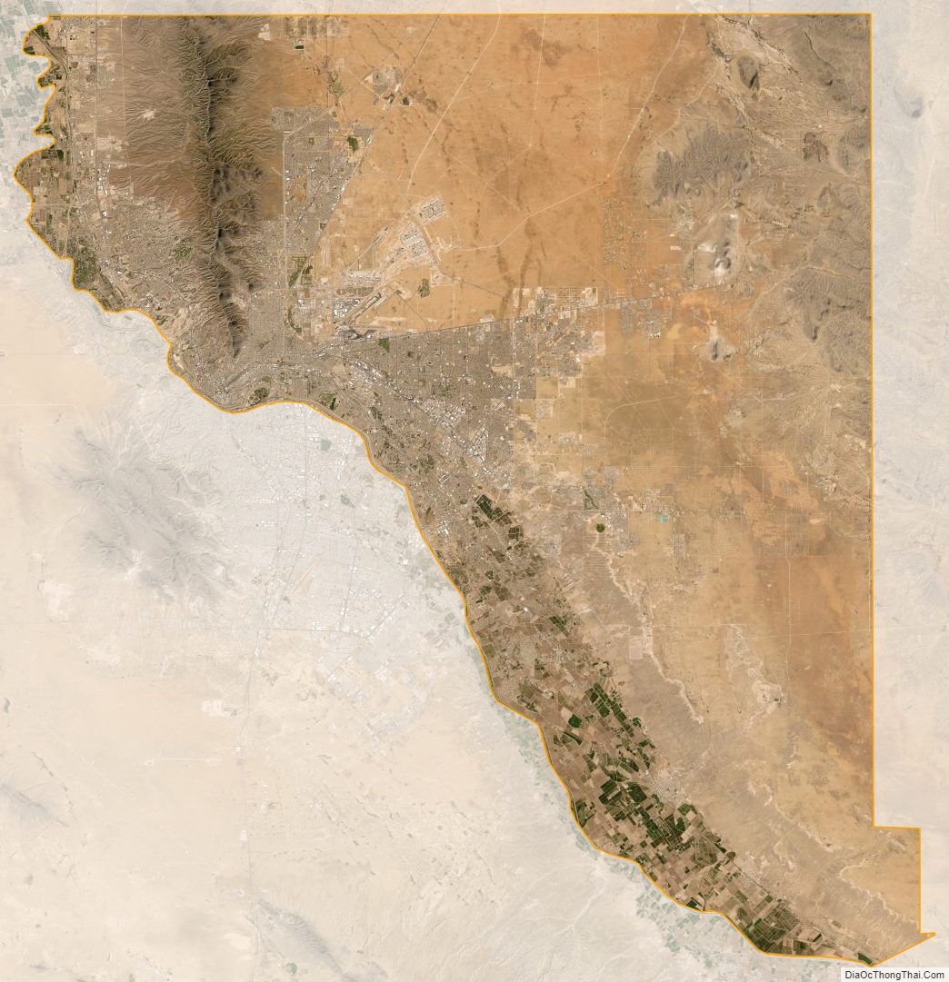
El Paso County Satellite Map
El Paso County Outline Map