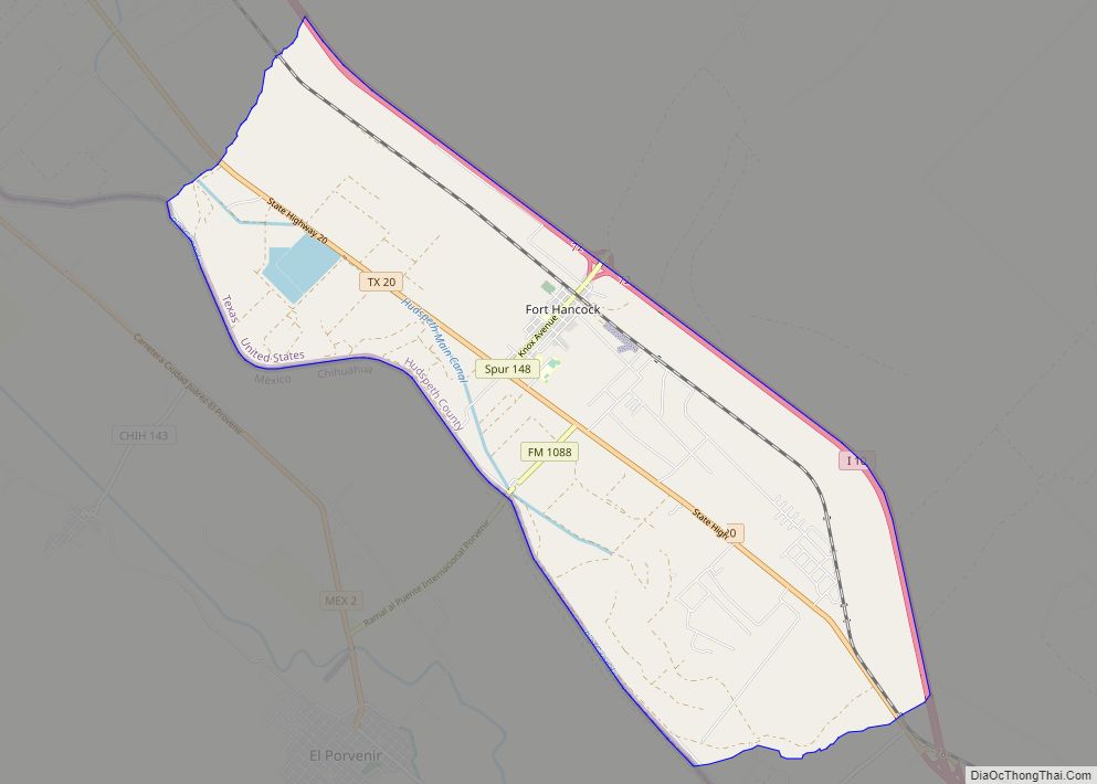
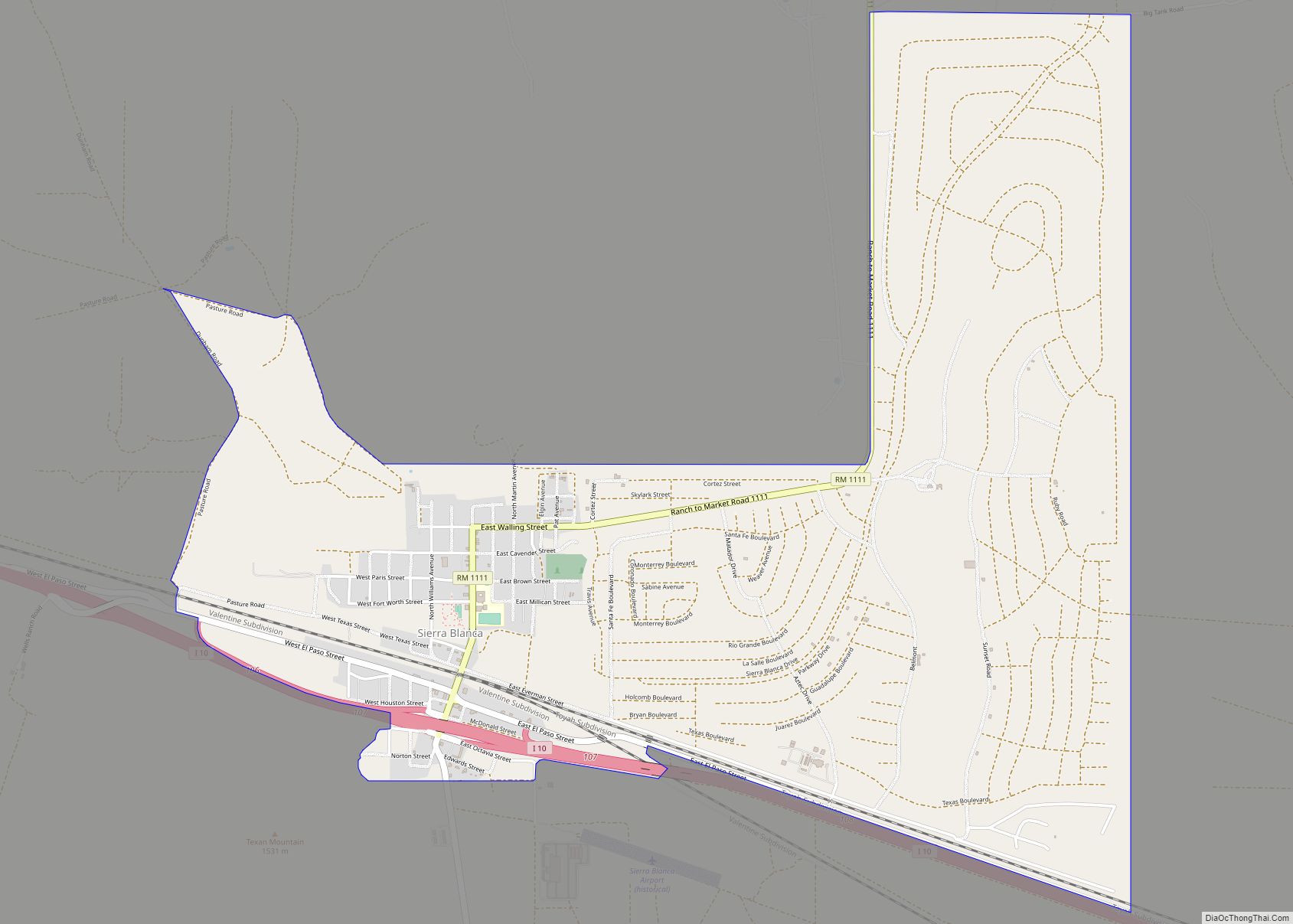
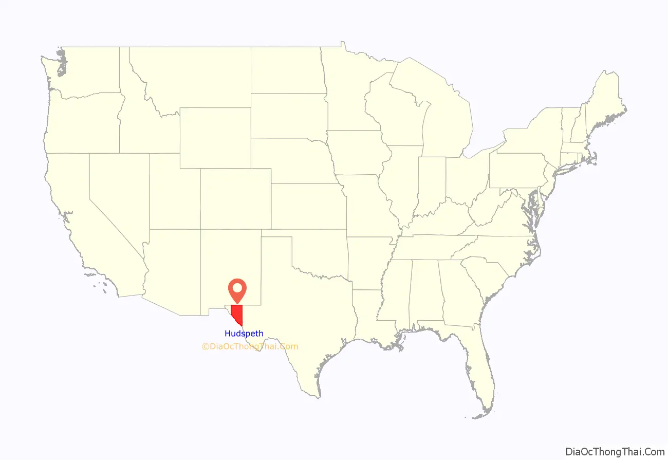
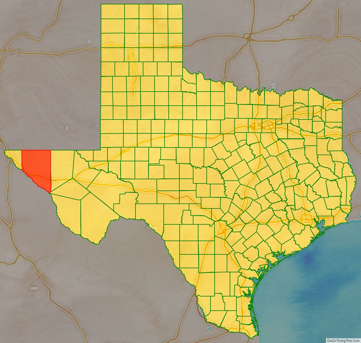
Hudspeth County is a county located in the U.S. state of Texas. As of the 2020 census, the population was 3,202. Its county seat is Sierra Blanca, and the largest community is Fort Hancock. The county is named for Claude Benton Hudspeth, a state senator and United States Representative from El Paso. It is northeast of the Mexico–U.S. border.
Hudspeth County is included in the El Paso Metropolitan Statistical Area. It is one of the nine counties that comprise the Trans-Pecos region of West Texas. Hudspeth is one of two Texas counties to entirely observe Mountain Time, along with neighboring El Paso, while Culberson County partly observes it (in the northwest region, as the rest of the county observes Central Time).
| Name: | Hudspeth County |
|---|---|
| FIPS code: | 48-229 |
| State: | Texas |
| Founded: | 1917 |
| Named for: | Claude Benton Hudspeth |
| Seat: | Sierra Blanca |
| Total Area: | 4,572 sq mi (11,840 km²) |
| Land Area: | 4,571 sq mi (11,840 km²) |
| Total Population: | 3,287 |
| Time zone: | UTC−7 (Mountain) |
| Summer Time Zone (DST): | UTC−6 (MDT) |
| Website: | www.co.hudspeth.tx.us |
Hudspeth County location map. Where is Hudspeth County?
History
Prehistoric Jornada Mogollón peoples were practicing agriculture in the Rio Grande floodplain circa 900–1350 AD. These people left behind artifacts and pictographs as evidence of their presence.
The Rodriguez-Sanchez Expedition of 1581 encountered friendly Indians bestowing gifts upon the explorers. Antonio de Espejo’s 1582-83 expedition encountered Otomoaco Indians in the county.
The Mescalero Apache frequented the area to irrigate their crops. In 1849, John Salmon “RIP” Ford explored the area between San Antonio and El Paso noting in his mapped report the productive land upon which the Mescalero Indians farmed. By the mid-17th century the Mescaleros expanded their territory to the Plains Navajos and Pueblos from the Guadalupes, and El Paso del Norte. Their feared presence deterred white settlers. In January 1870, a group of soldiers attacked a Mescalero Apache village near Delaware Creek in the Guadalupe Mountains. In July 1880, soldiers at Tinaja de las Palmas attacked a group of Mescaleros led by Chief Victorio. In August 1880, buffalo soldiers ambushed Victorio at Rattlesnake Springs. Victorio retreated to Mexico and was killed in October by Mexican soldiers. Two weeks later, Apaches killed seven buffalo soldier, members of the famous black Tenth United States Cavalry.
The demand for new routes from Texas to California caused an uptick in explorations. The San Antonio-to-El Paso leg of the San Antonio-California Trail was surveyed in 1848 under the direction of John Coffee Hays. Hudspeth became known as a place travelers passed through, on their way to somewhere else. Fort Quitman was established in 1858 to provide protection for travelers.
Lt. Francis Theodore Bryan camped at Guadalupe Pass while exploring a route from San Antonio to El Paso via Fredericksburg. Upon reaching El Paso in July 1849, his report recommended sink wells along the route. In July 1848, Secretary of War William L. Marcy wanted a military post established on the north side of the Rio Grande. Major Jefferson Van Horne was sent out in 1849 to establish Marcy’s goal.
John Russell Bartlett was commissioned in 1850 to carry out the Treaty of Guadalupe Hidalgo. Bartlett declared the Guadalupe Mountains dark and gloomy, and proposed a transcontinental railroad be built south of the peaks. Three years later, Captain John Pope was sent to scout out a railroad route, and in the succeeding year to search for artesian water supplies. Texas Commissioner Robert Simpson Neighbors was sent by Governor Peter Hansborough Bell in 1850 to organize El Paso.
The Butterfield Overland Mail and the San Antonio-San Diego Mail served the county from 1857 to 1861. These mail coaches provided a means for travelers to reach California in 27 days, if the passenger had the $200 for a one-way fare and was courageous enough to withstand the weather and dangers en route.
Men from San Elizario and the other villages along the Rio Grande near El Paso had become dependent on the salt trade for their livelihoods. After the Civil War, they broke a road from Fort Quitman to the Salt Basin in northeastern Hudspeth County, but Anglo politicians tried to capitalize on this trade by asserting ownership of the salt lakes and levying fees on the traders. The result was the 7-year San Elizario Salt War, which heightened tensions between Mexicans and Americans in the 1870s.
Rival railway companies began competing for rights of way. The Texas and Pacific Railway and the Galveston, Harrisburg and San Antonio Railway eventually reached an agreement to share the tracks, with a number of towns arising along the way
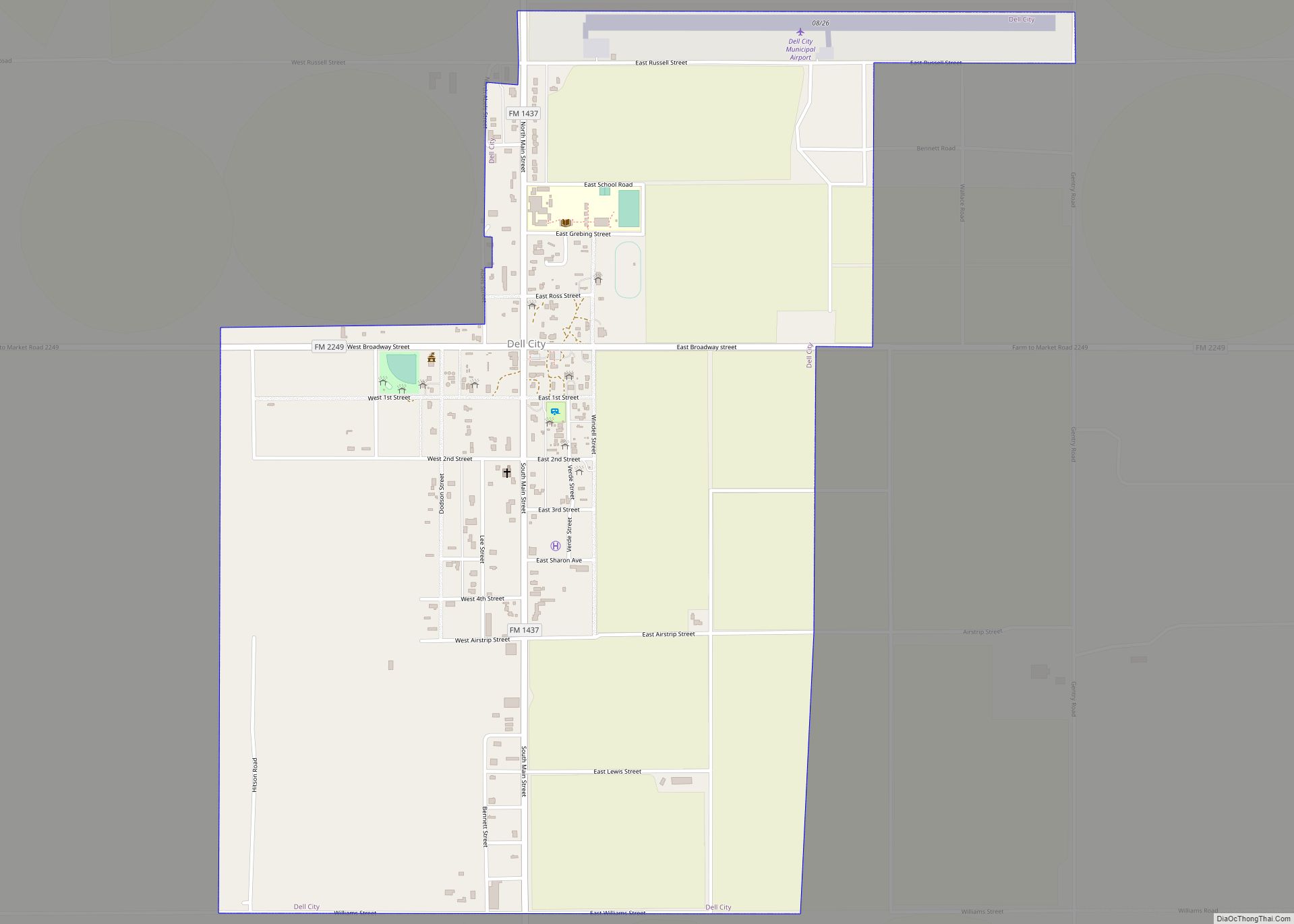
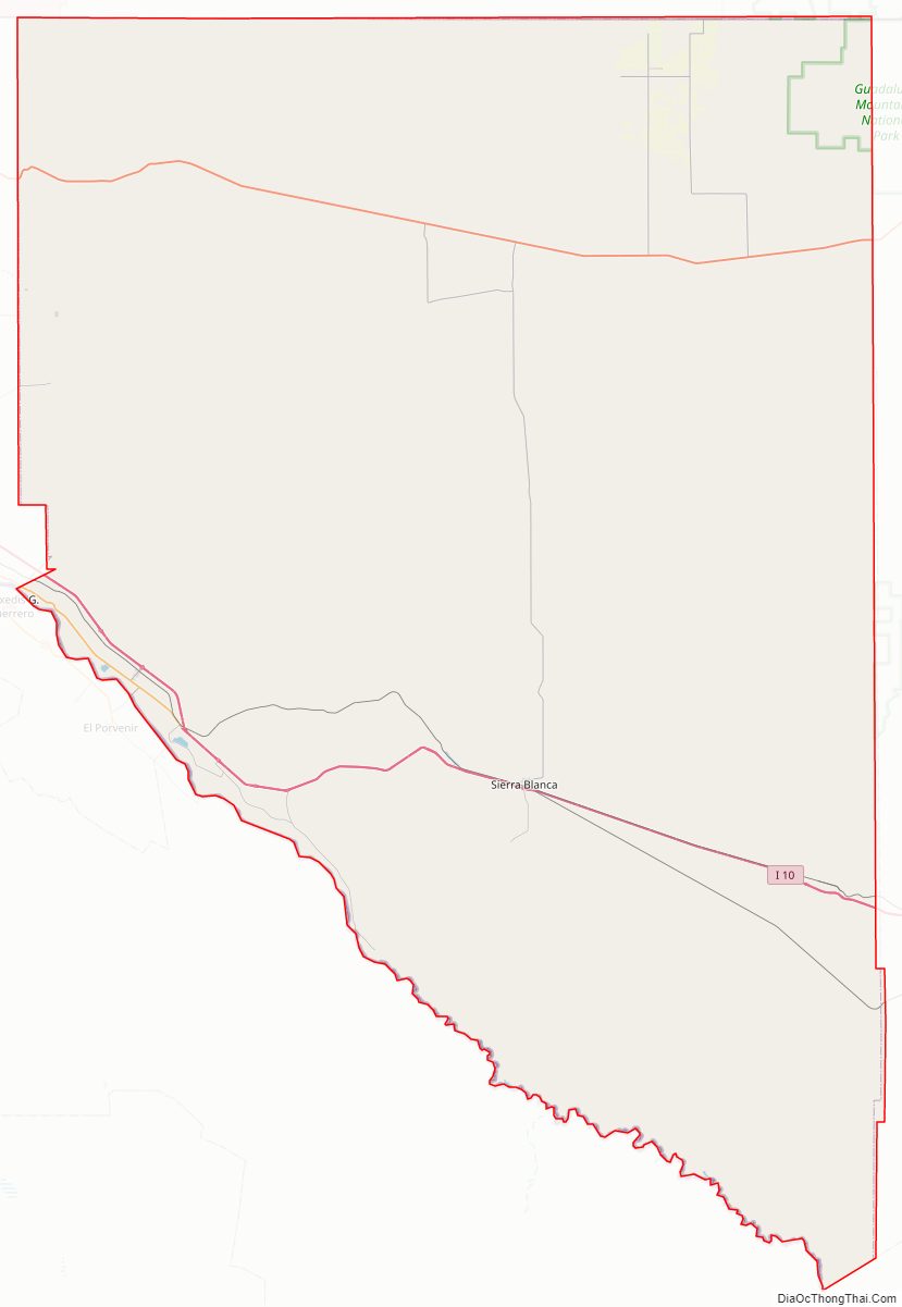
Hudspeth was formed in 1917 from El Paso County, Texas. Sierra Blanca was named the county seat, and has the only adobe courthouse in Texas.
From 1992 to 2002, the county accepted over 200 tons per day of treated, dried sewage from New York City. The waste was spread over a remote site in the county.
In recent times, Hudspeth County has become notorious as a location for frequent drug arrests for individuals traveling east on Interstate 10 from El Paso, due to the presence of a US Border Patrol checkpoint. Several celebrities, including touring musicians Willie Nelson, Snoop Dogg, and Fiona Apple, and actor Armie Hammer have been arrested on drug charges at this location.
Hudspeth County Road Map

Geography
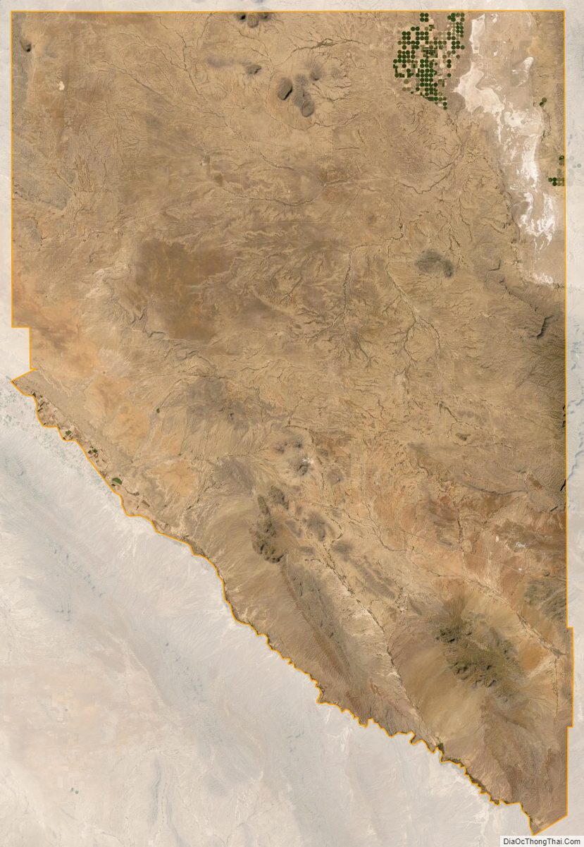
According to the U.S. Census Bureau, the county has a total area of 4,572 square miles (11,840 km), of which 4,571 square miles (11,840 km) are land and 0.8 square miles (2.1 km) (0.02%) is covered by water. It is the third largest county in Texas by land area. Part of Guadalupe Mountains National Park lies in the northeast corner of the county.
Major highways
- Interstate 10
- U.S. Highway 62/U.S. Highway 180
- State Highway 20
Adjacent counties and municipalities
- Otero County, New Mexico (north)
- Culberson County (east)
- Jeff Davis County (south)
- Presidio County (south)
- El Paso County (west)
- Guadalupe, Chihuahua, Mexico (south)
- Práxedis G. Guerrero, Chihuahua, Mexico (south)
Protected areas
- Guadalupe Mountains National Park
- McKittrick Canyon
Hudspeth County Topographic Map

Hudspeth County Satellite Map
Hudspeth County Outline Map