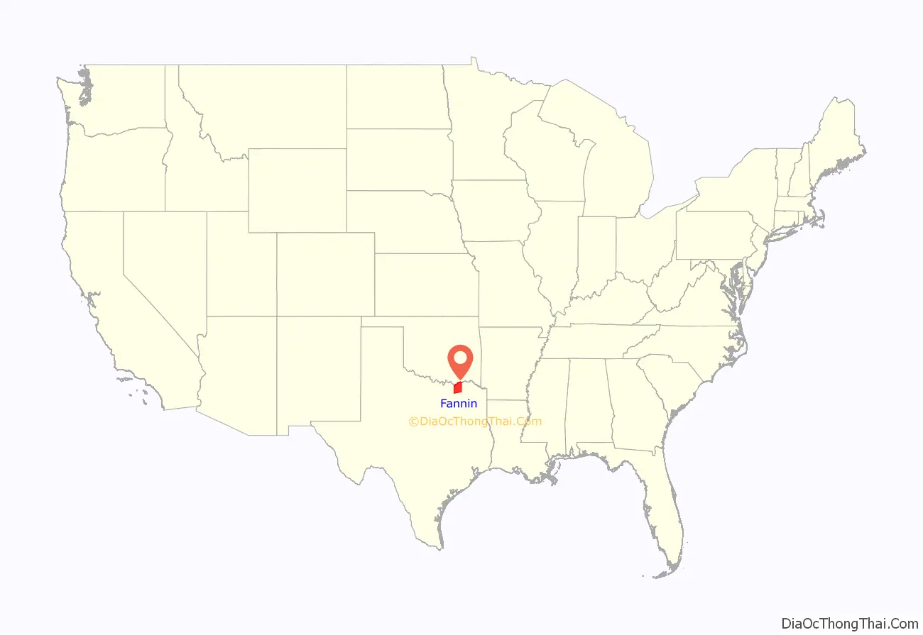
Fannin County is a county in the far northeast of the U.S. state of Texas, on the border with Oklahoma. As of the 2020 census, its population was 35,662. The county seat is Bonham.
The county was named for James Fannin, who commanded the group of Texans killed in the Goliad Massacre during the Texas Revolution. James Bonham (the county seat’s namesake) sought Fannin’s assistance for the Battle of the Alamo, but Fannin was unable to provide it.
The county was created in 1837 and organized the next year. Fannin County is a part of the Texoma region.
| Name: | Fannin County |
|---|---|
| FIPS code: | 48-147 |
| State: | Texas |
| Founded: | 1838 |
| Named for: | James Fannin |
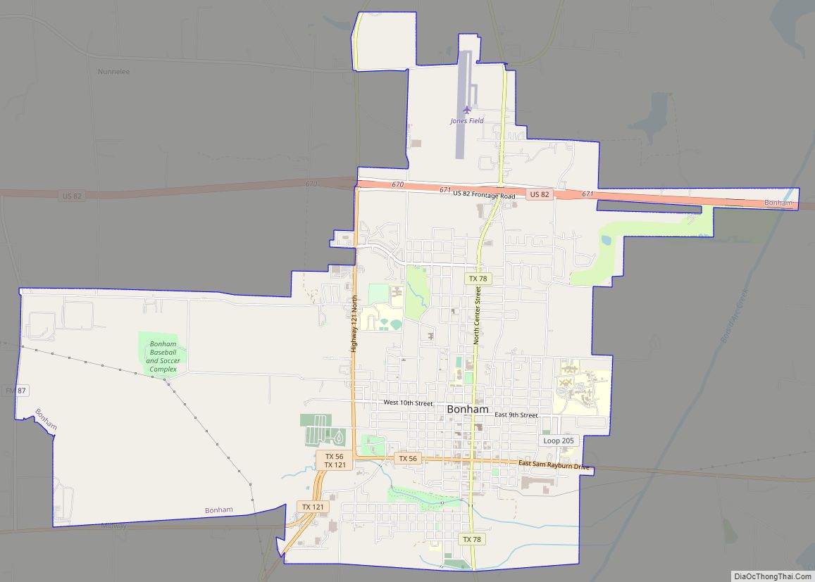
| Seat: | Bonham |
| Largest city: | Bonham |
| Total Area: | 899 sq mi (2,330 km²) |
| Land Area: | 891 sq mi (2,310 km²) |
| Total Population: | 35,662 |
| Population Density: | 40/sq mi (15/km²) |
| Time zone: | UTC−6 (Central) |
| Summer Time Zone (DST): | UTC−5 (CDT) |
| Website: | www.co.fannin.tx.us |
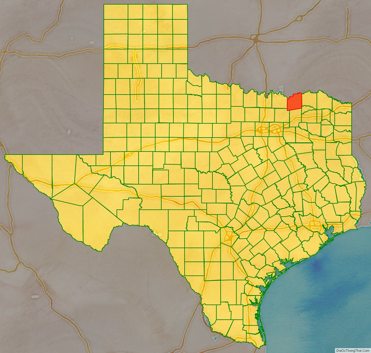
Fannin County location map. Where is Fannin County?
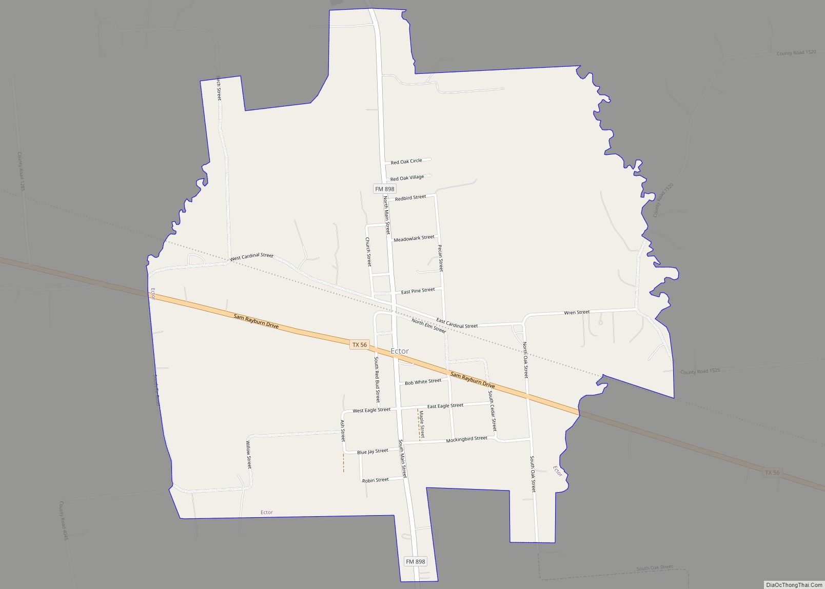
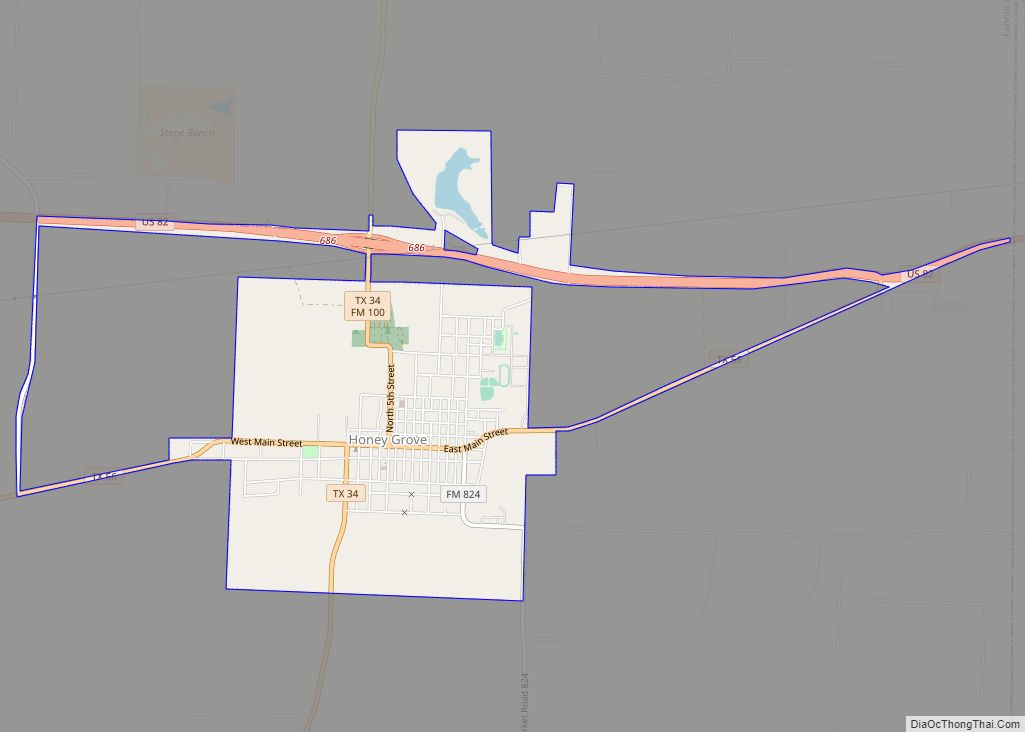
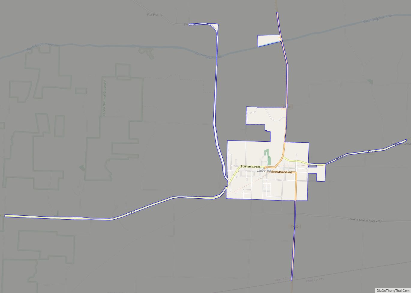
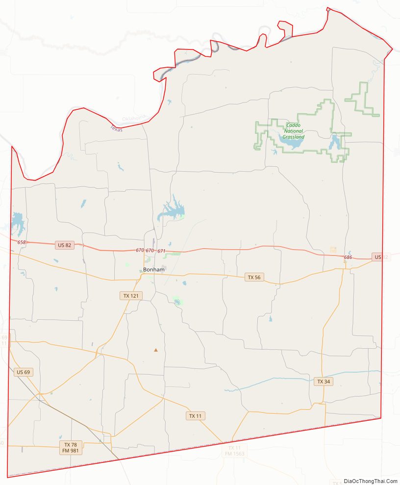
Fannin County Road Map
Geography
According to the U.S. Census Bureau, the county has a total area of 899 square miles (2,330 km), of which 891 square miles (2,310 km) are land and 8.0 square miles (21 km) (0.9%) are covered by water. It is drained by Bois D’Arc Creek and Sulphur River.
Major highways
- U.S. Highway 69
- U.S. Highway 82
- State Highway 11
- State Highway 34
- State Highway 50
- State Highway 56
- State Highway 78
- State Highway 121
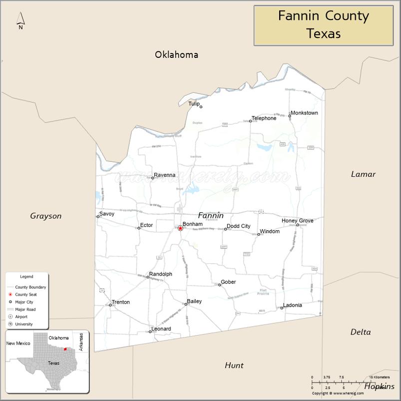
Adjacent counties
- Bryan County, Oklahoma (north)
- Lamar County (east)
- Delta County (southeast)
- Hunt County (south)
- Collin County (southwest)
- Grayson County (west)
National protected area
- Caddo National Grassland
Fannin County Topographic Map
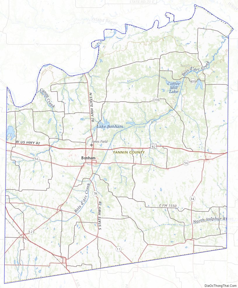
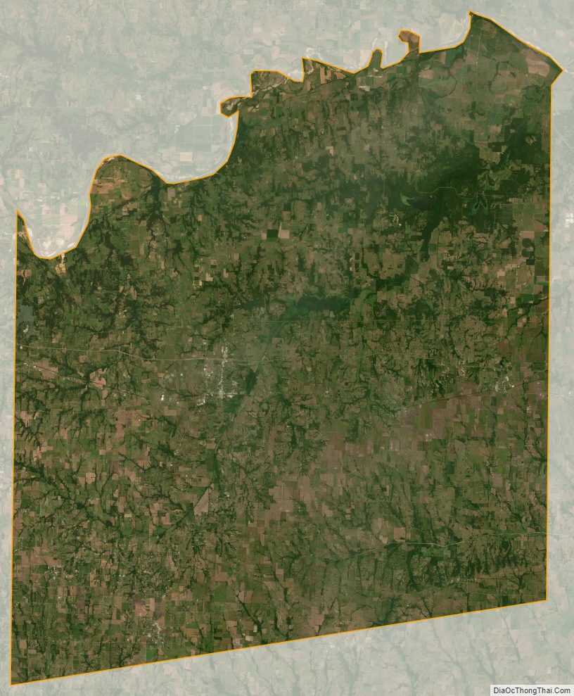
Fannin County Satellite Map
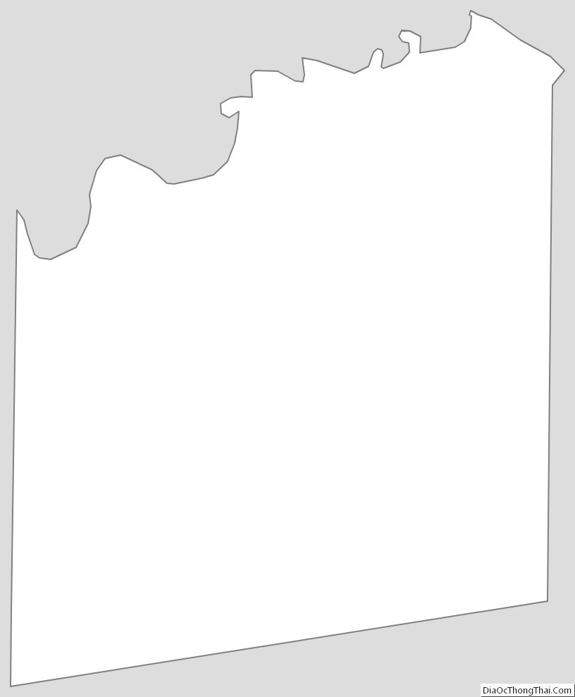
Fannin County Outline Map