Bonham is a city and the county seat of Fannin County, Texas. The population was 10,408 at the 2020 census. James Bonham (the city’s namesake) sought the aid of James Fannin (the county’s namesake) at the Battle of the Alamo. Bonham is part of the Texoma region in north Texas and south Oklahoma.
| Name: | Bonham city |
|---|---|
| LSAD Code: | 25 |
| LSAD Description: | city (suffix) |
| State: | Texas |
| County: | Fannin County |
| Elevation: | 610 ft (186 m) |
| Total Area: | 9.83 sq mi (25.47 km²) |
| Land Area: | 9.83 sq mi (25.47 km²) |
| Water Area: | 0.00 sq mi (0.00 km²) |
| Total Population: | 10,127 |
| Population Density: | 1,056.24/sq mi (407.81/km²) |
| ZIP code: | 75418 |
| FIPS code: | 4809328 |
| GNISfeature ID: | 1352653 |
| Website: | www.cobon.net |
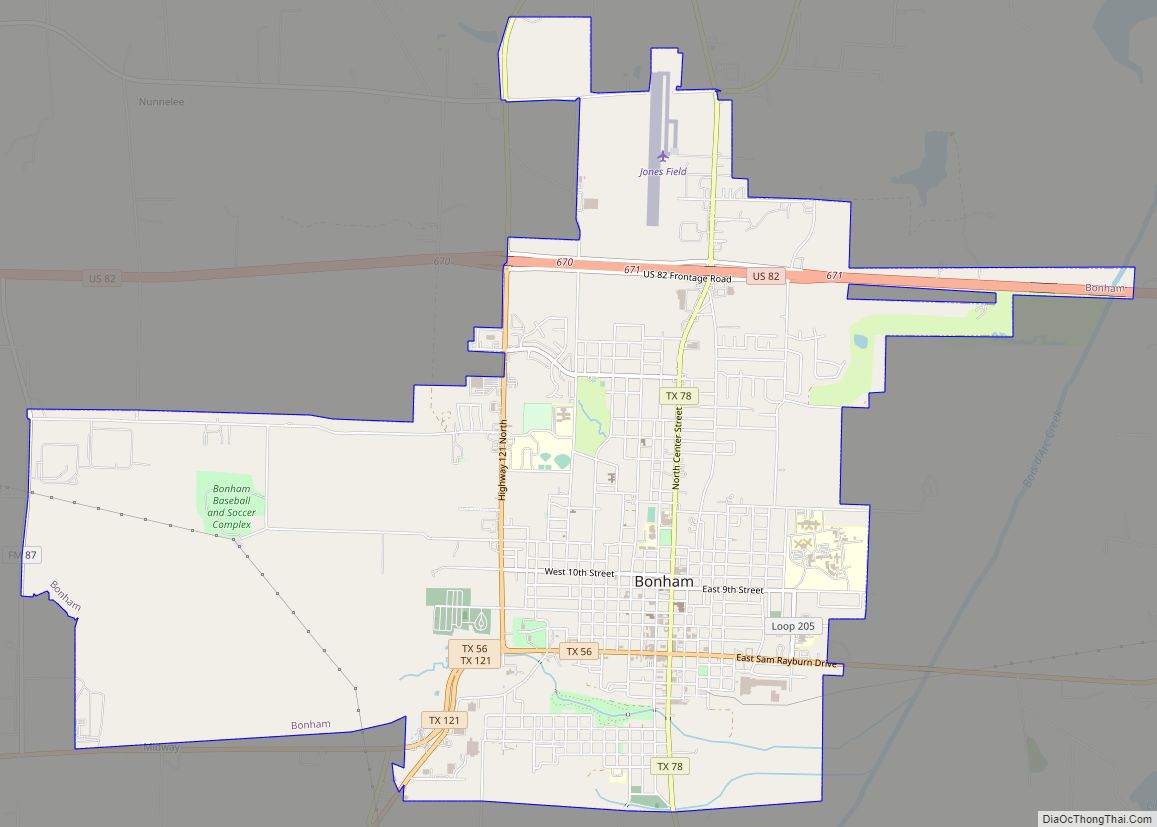
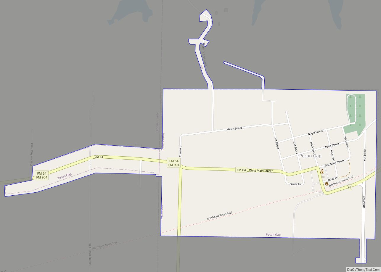
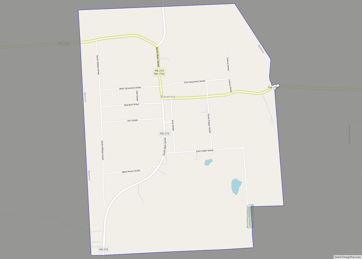
Online Interactive Map
Click on ![]() to view map in "full screen" mode.
to view map in "full screen" mode.
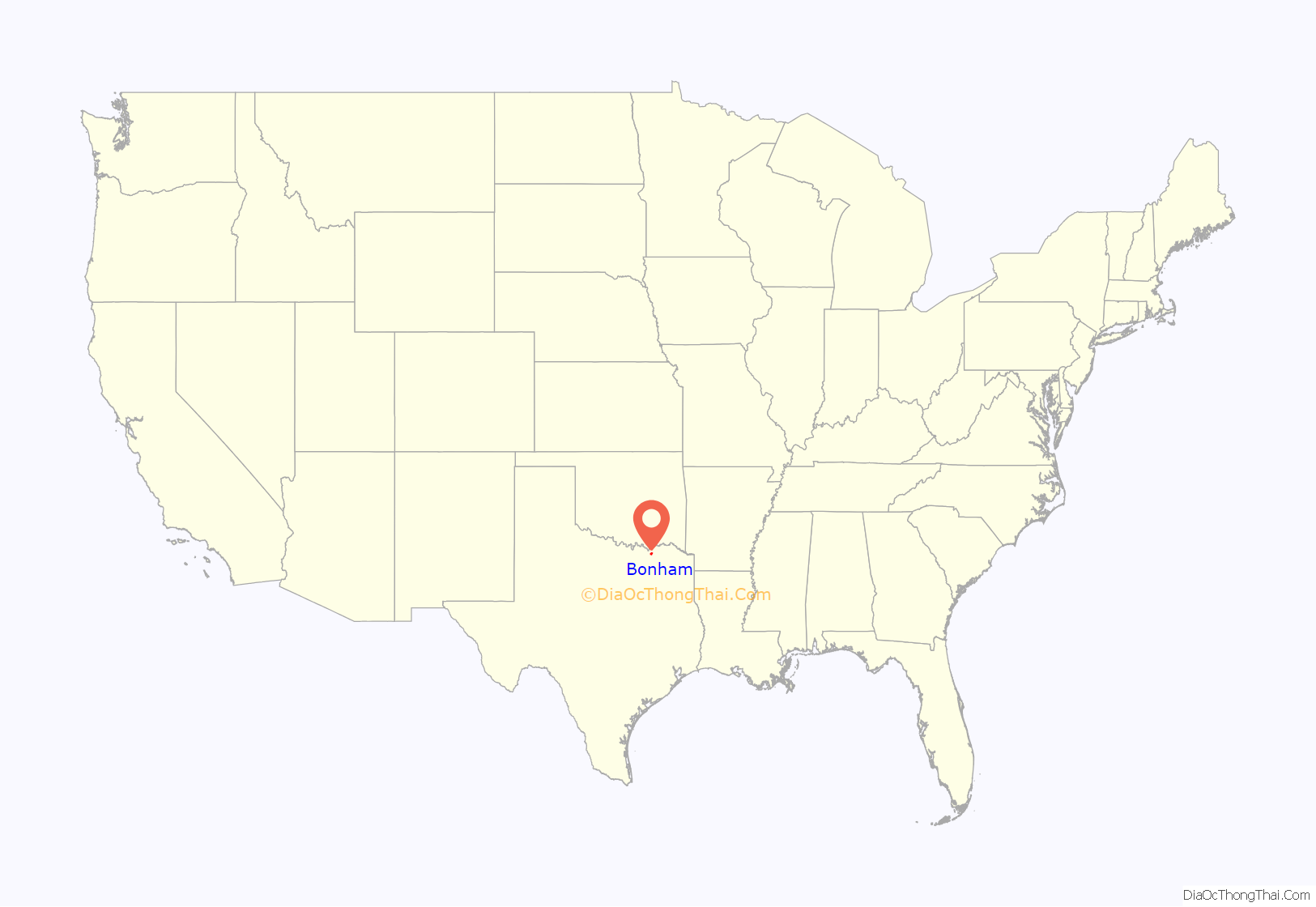
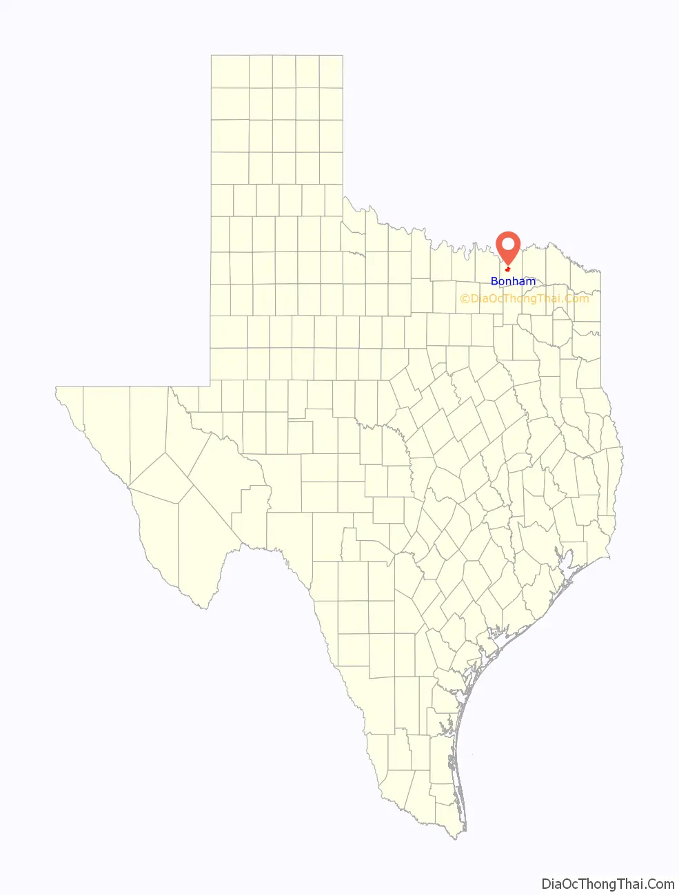
Bonham location map. Where is Bonham city?
History
One of Texas’s oldest cities, Bonham dates to 1837, when Bailey Inglish built a two-story blockhouse named Fort Inglish about 2 miles (3 km) from the current downtown. Inglish and other acquaintances settled there in the summer of 1837, and the settlement was named “Bois D’Arc”. The Congress of the Republic of Texas named the city Bloomington in 1843, but renamed it Bonham in honor of James Butler Bonham, a defender of the Alamo. On February 2, 1848, Bonham was incorporated as a city. A 1936 statue of Bonham by Texas sculptor Allie Tennant is on the courthouse grounds.
After connecting to the Texas and Pacific Railway the city began to grow, and by 1885 there were six churches, three colleges, two public schools, three weekly newspapers, a sawmill, two grain mills, a power plant, and about 2,300 inhabitants. 1890 saw the addition of streetcars, an ice plant, and the opening of the Texas Power and Light Company, the area’s utility provider. In 1925 the city was connected to natural gas lines.
In 1898, 1911–1914 and 1921–1922, Bonham hosted minor league baseball. The Bonham Boosters and other Bonham teams played as members of the Class D Texas-Oklahoma League (1911–1914, 1921–1922) and the Independent Southwestern League (1898). Bonham teams featured a different moniker each season. Baseball Hall of Fame member Kid Nichols was Manager of the 1914 Bonham Sliders.
During the Second World War, a training camp and an aviation school for the United States Army Air Forces were in the vicinity of Bonham, as was a prisoner-of-war camp for German soldiers. Parts of the camp, approximately 0.5 miles north of US 82, can still be visited today.
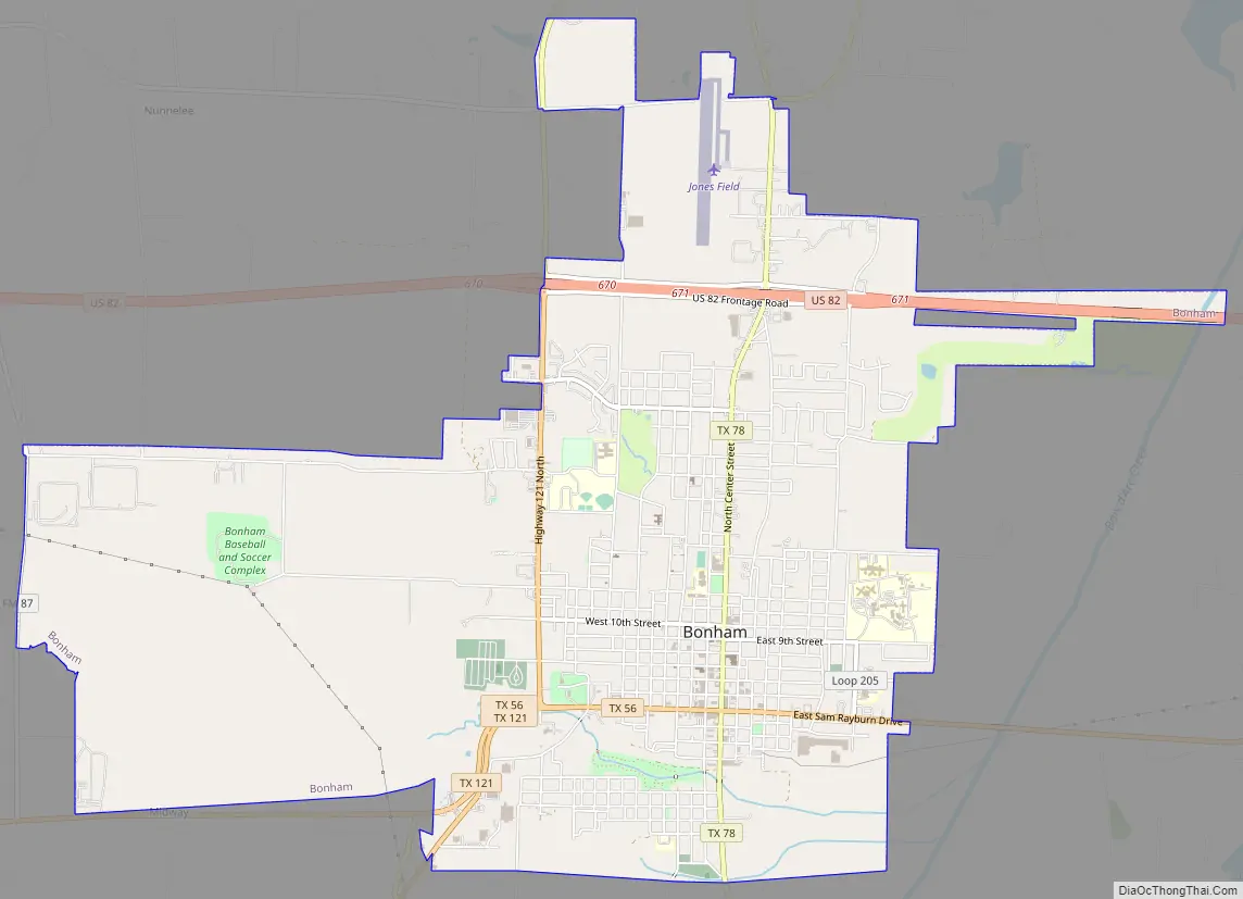
Bonham Road Map
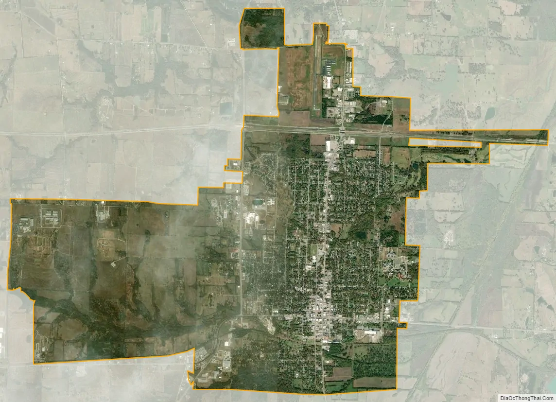
Bonham city Satellite Map
Geography
According to the U.S. Census Bureau, Bonham has a total area of 9.8 square miles (25.3 km), all of it land.
Climate
Bonham’s climate is characterized by hot, humid summers and mild to cool winters. According to the Köppen Climate Classification system, Bonham has a humid subtropical climate, abbreviated “Cfa” on climate maps.
See also
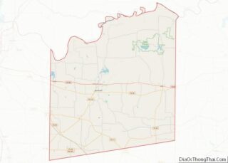
Map of Texas State and its subdivision:- Anderson
- Andrews
- Angelina
- Aransas
- Archer
- Armstrong
- Atascosa
- Austin
- Bailey
- Bandera
- Bastrop
- Baylor
- Bee
- Bell
- Bexar
- Blanco
- Borden
- Bosque
- Bowie
- Brazoria
- Brazos
- Brewster
- Briscoe
- Brooks
- Brown
- Burleson
- Burnet
- Caldwell
- Calhoun
- Callahan
- Cameron
- Camp
- Carson
- Cass
- Castro
- Chambers
- Cherokee
- Childress
- Clay
- Cochran
- Coke
- Coleman
- Collin
- Collingsworth
- Colorado
- Comal
- Comanche
- Concho
- Cooke
- Coryell
- Cottle
- Crane
- Crockett
- Crosby
- Culberson
- Dallam
- Dallas
- Dawson
- Deaf Smith
- Delta
- Denton
- Dewitt
- Dickens
- Dimmit
- Donley
- Duval
- Eastland
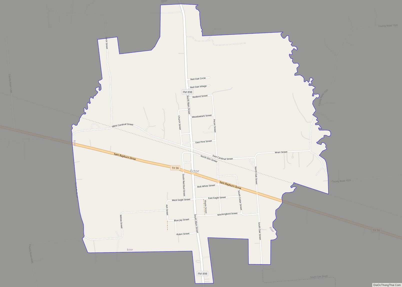
- Ector
- Edwards
- El Paso
- Ellis
- Erath
- Falls
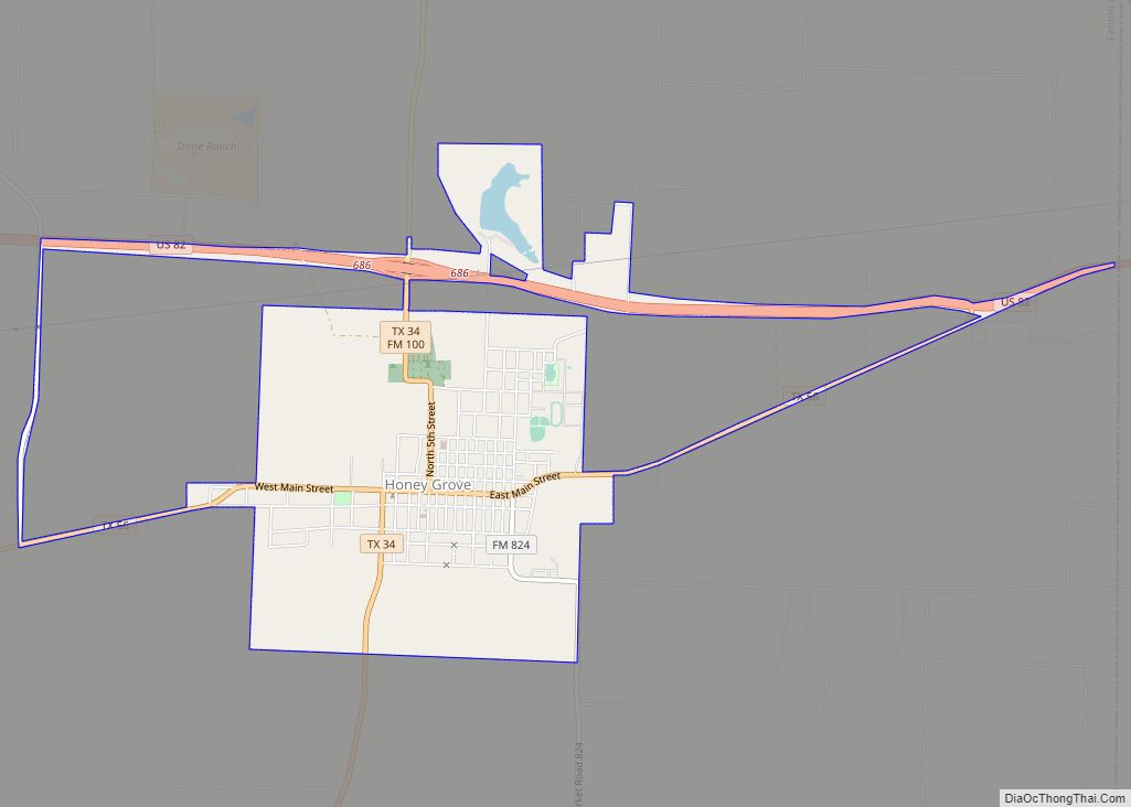
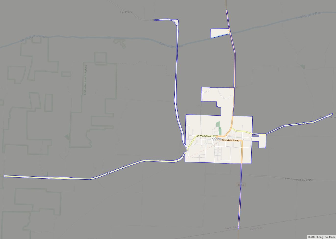
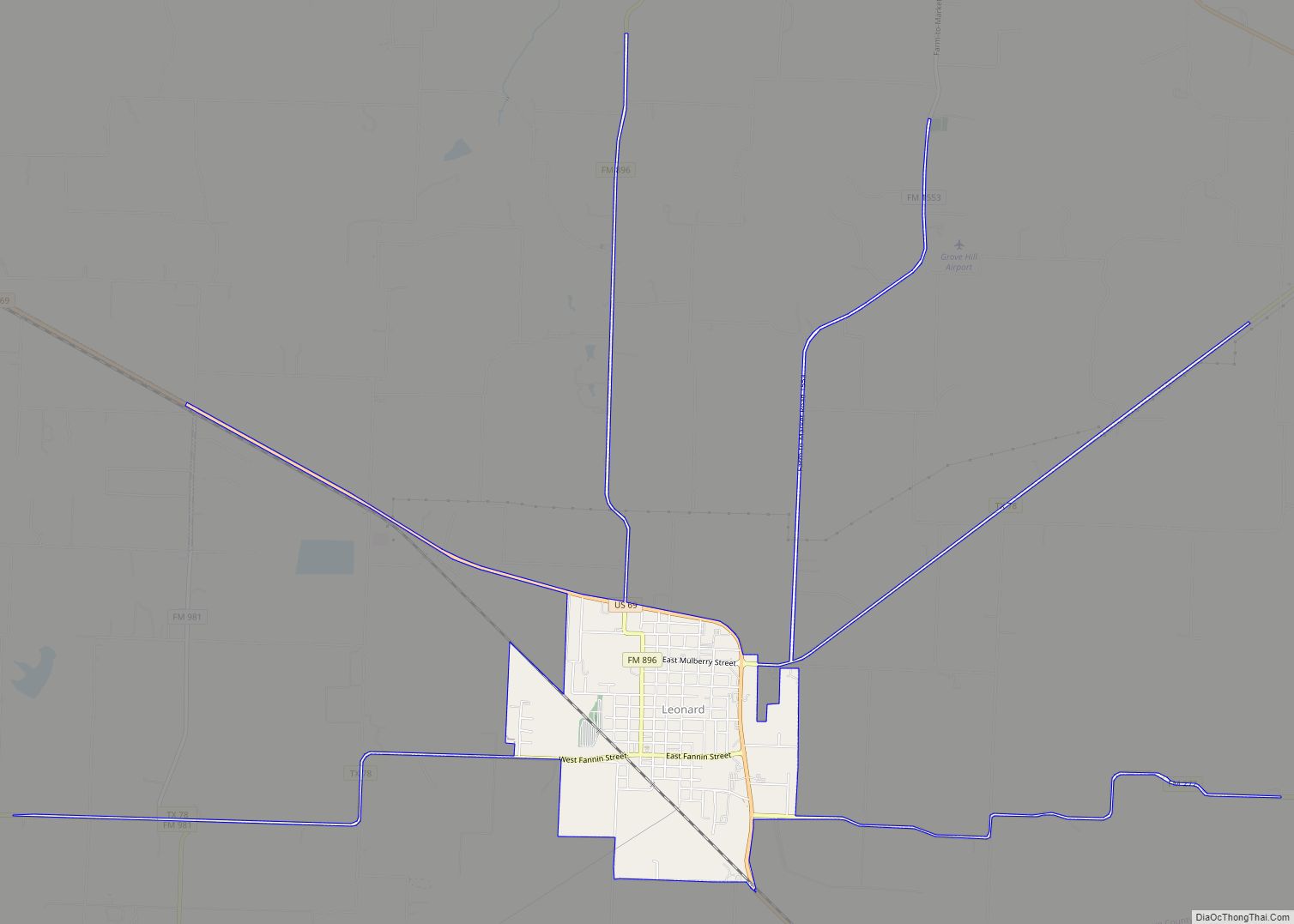
- Fannin
- Fayette
- Fisher
- Floyd
- Foard
- Fort Bend
- Franklin
- Freestone
- Frio
- Gaines
- Galveston
- Garza
- Gillespie
- Glasscock
- Goliad
- Gonzales
- Gray
- Grayson
- Gregg
- Grimes
- Guadalupe
- Hale
- Hall
- Hamilton
- Hansford
- Hardeman
- Hardin
- Harris
- Harrison
- Hartley
- Haskell
- Hays
- Hemphill
- Henderson
- Hidalgo
- Hill
- Hockley
- Hood
- Hopkins
- Houston
- Howard
- Hudspeth
- Hunt
- Hutchinson
- Irion
- Jack
- Jackson
- Jasper
- Jeff Davis
- Jefferson
- Jim Hogg
- Jim Wells
- Johnson
- Jones
- Karnes
- Kaufman
- Kendall
- Kenedy
- Kent
- Kerr
- Kimble
- King
- Kinney
- Kleberg
- Knox
- La Salle
- Lamar
- Lamb
- Lampasas
- Lavaca
- Lee
- Leon
- Liberty
- Limestone
- Lipscomb
- Live Oak
- Llano
- Loving
- Lubbock
- Lynn
- Madison
- Marion
- Martin
- Mason
- Matagorda
- Maverick
- McCulloch
- McLennan
- McMullen
- Medina
- Menard
- Midland
- Milam
- Mills
- Mitchell
- Montague
- Montgomery
- Moore
- Morris
- Motley
- Nacogdoches
- Navarro
- Newton
- Nolan
- Nueces
- Ochiltree
- Oldham
- Orange
- Palo Pinto
- Panola
- Parker
- Parmer
- Pecos
- Polk
- Potter
- Presidio
- Rains
- Randall
- Reagan
- Real
- Red River
- Reeves
- Refugio
- Roberts
- Robertson
- Rockwall
- Runnels
- Rusk
- Sabine
- San Augustine
- San Jacinto
- San Patricio
- San Saba
- Schleicher
- Scurry
- Shackelford
- Shelby
- Sherman
- Smith
- Somervell
- Starr
- Stephens
- Sterling
- Stonewall
- Sutton
- Swisher
- Tarrant
- Taylor
- Terrell
- Terry
- Throckmorton
- Titus
- Tom Green
- Travis
- Trinity
- Tyler
- Upshur
- Upton
- Uvalde
- Val Verde
- Van Zandt
- Victoria
- Walker
- Waller
- Ward
- Washington
- Webb
- Wharton
- Wheeler
- Wichita
- Wilbarger
- Willacy
- Williamson
- Wilson
- Winkler
- Wise
- Wood
- Yoakum
- Young
- Zapata
- Zavala
- Alabama
- Alaska
- Arizona
- Arkansas
- California
- Colorado
- Connecticut
- Delaware
- District of Columbia
- Florida
- Georgia
- Hawaii
- Idaho
- Illinois
- Indiana
- Iowa
- Kansas
- Kentucky
- Louisiana
- Maine
- Maryland
- Massachusetts
- Michigan
- Minnesota
- Mississippi
- Missouri
- Montana
- Nebraska
- Nevada
- New Hampshire
- New Jersey
- New Mexico
- New York
- North Carolina
- North Dakota
- Ohio
- Oklahoma
- Oregon
- Pennsylvania
- Rhode Island
- South Carolina
- South Dakota
- Tennessee
- Texas
- Utah
- Vermont
- Virginia
- Washington
- West Virginia
- Wisconsin
- Wyoming