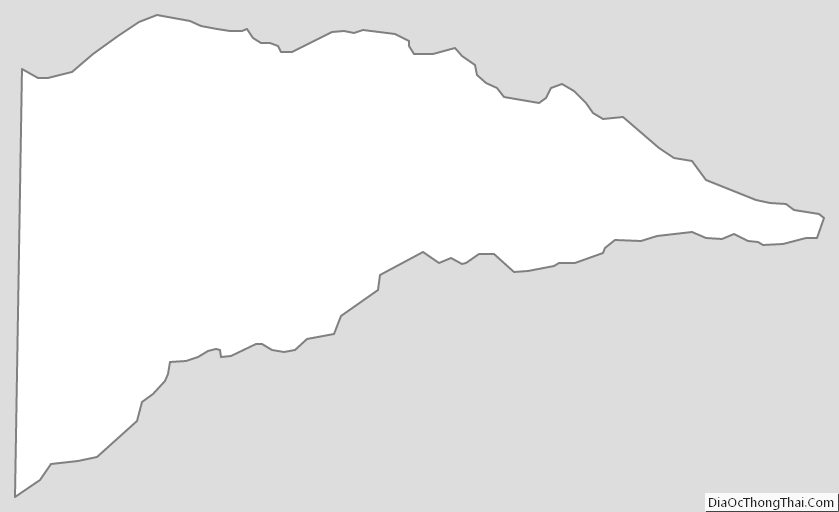
Delta County is a county located in the U.S. state of Texas. As of the 2020 census, its population was 5,230. Its county seat and largest city is Cooper. The county was founded in 1870 and is named for its triangular shape, which resembles the Greek letter delta.
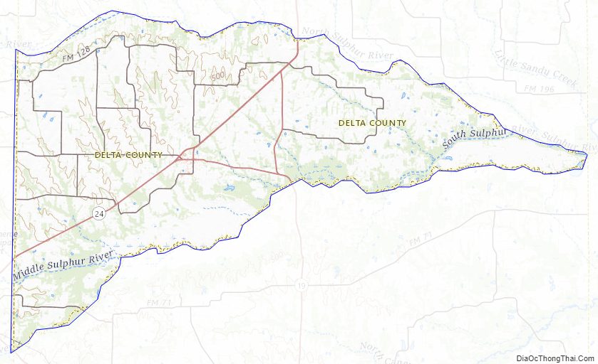
Meanders of two forks of the Sulphur River formed its northern and southern boundaries and meet at its easternmost point. Delta County was one of 19 prohibition, or entirely dry, counties in the state of Texas. As of 2015, Delta County is no longer a dry county.
| Name: | Delta County |
|---|---|
| FIPS code: | 48-119 |
| State: | Texas |
| Founded: | 1870 |
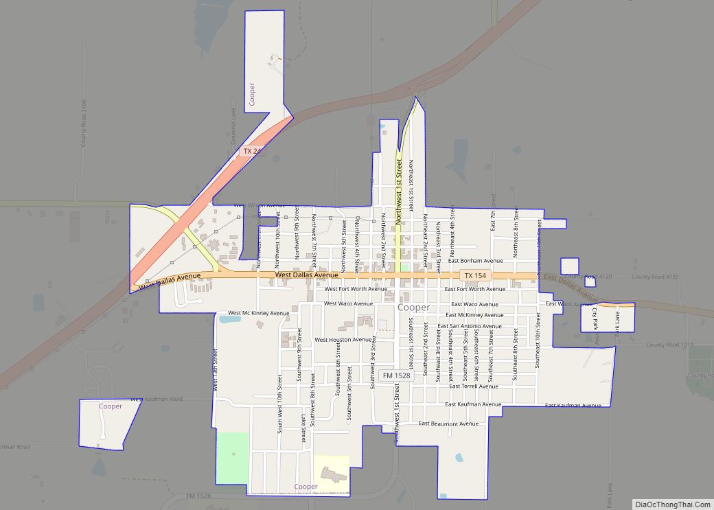
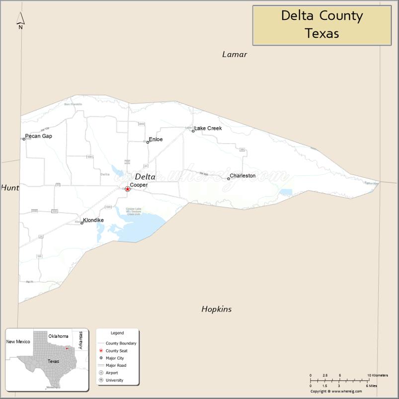
| Seat: | Cooper |
| Largest city: | Cooper |
| Total Area: | 278 sq mi (720 km²) |
| Land Area: | 257 sq mi (670 km²) |
| Total Population: | 5,230 |
| Population Density: | 19/sq mi (7.3/km²) |
| Time zone: | UTC−6 (Central) |
| Summer Time Zone (DST): | UTC−5 (CDT) |
| Website: | www.deltacountytx.com |
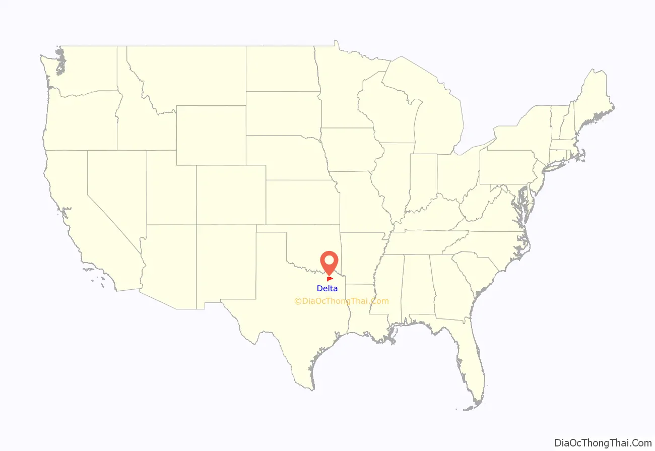
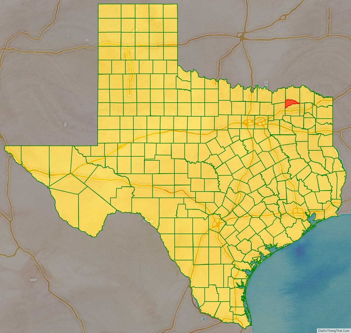
Delta County location map. Where is Delta County?
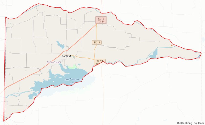
Delta County Road Map
Geography
According to the U.S. Census Bureau, the county has a total area of 278 sq mi (720 km), of which 257 sq mi (670 km) are land and 21 sq mi (54 km) (7.6%) are covered by water.
Major highways
- State Highway 19
- State Highway 24
- State Highway 154
Adjacent counties
- Lamar County (north)
- Red River County (northeast)
- Franklin County (southeast)
- Hopkins County (south)
- Hunt County (southwest)
- Fannin County (northwest)
Delta County Topographic Map
Delta County Satellite Map
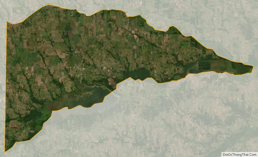
Delta County Outline Map