Fayette County is a county located in the U.S. state of Alabama. As of the 2020 census, the population was 16,321. Its county seat is Fayette. Its name is in honor of the Marquis de Lafayette (or de la Fayette), who aided General George Washington in the American Revolutionary War.
| Name: | Fayette County |
|---|---|
| FIPS code: | 01-057 |
| State: | Alabama |
| Founded: | December 20, 1824 |
| Named for: | Marquis de Lafayette |
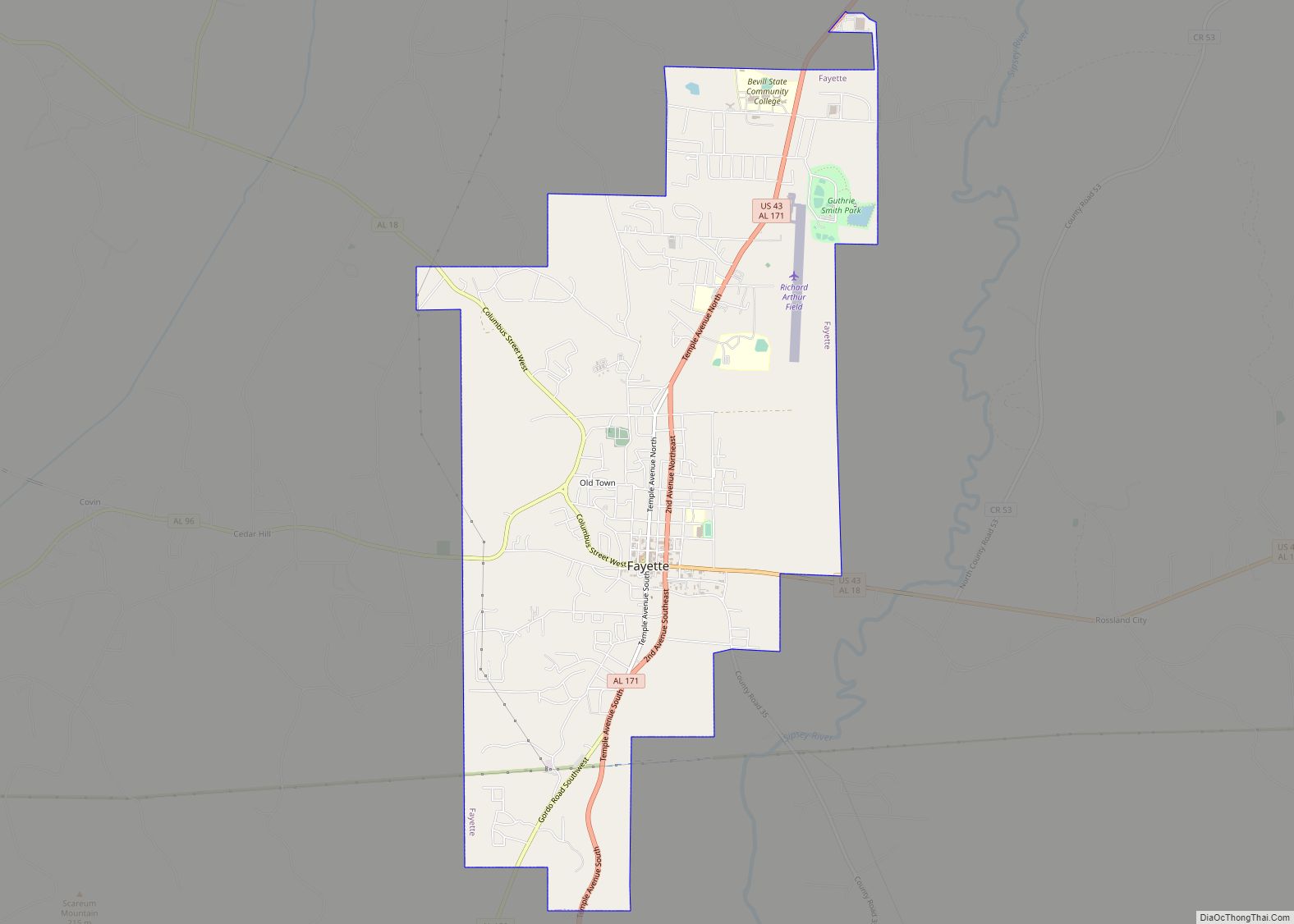
| Seat: | Fayette |
| Largest city: | Fayette |
| Total Area: | 629 sq mi (1,630 km²) |
| Land Area: | 628 sq mi (1,630 km²) |
| Total Population: | 16,321 |
| Population Density: | 26/sq mi (10/km²) |
| Time zone: | UTC−6 (Central) |
| Summer Time Zone (DST): | UTC−5 (CDT) |
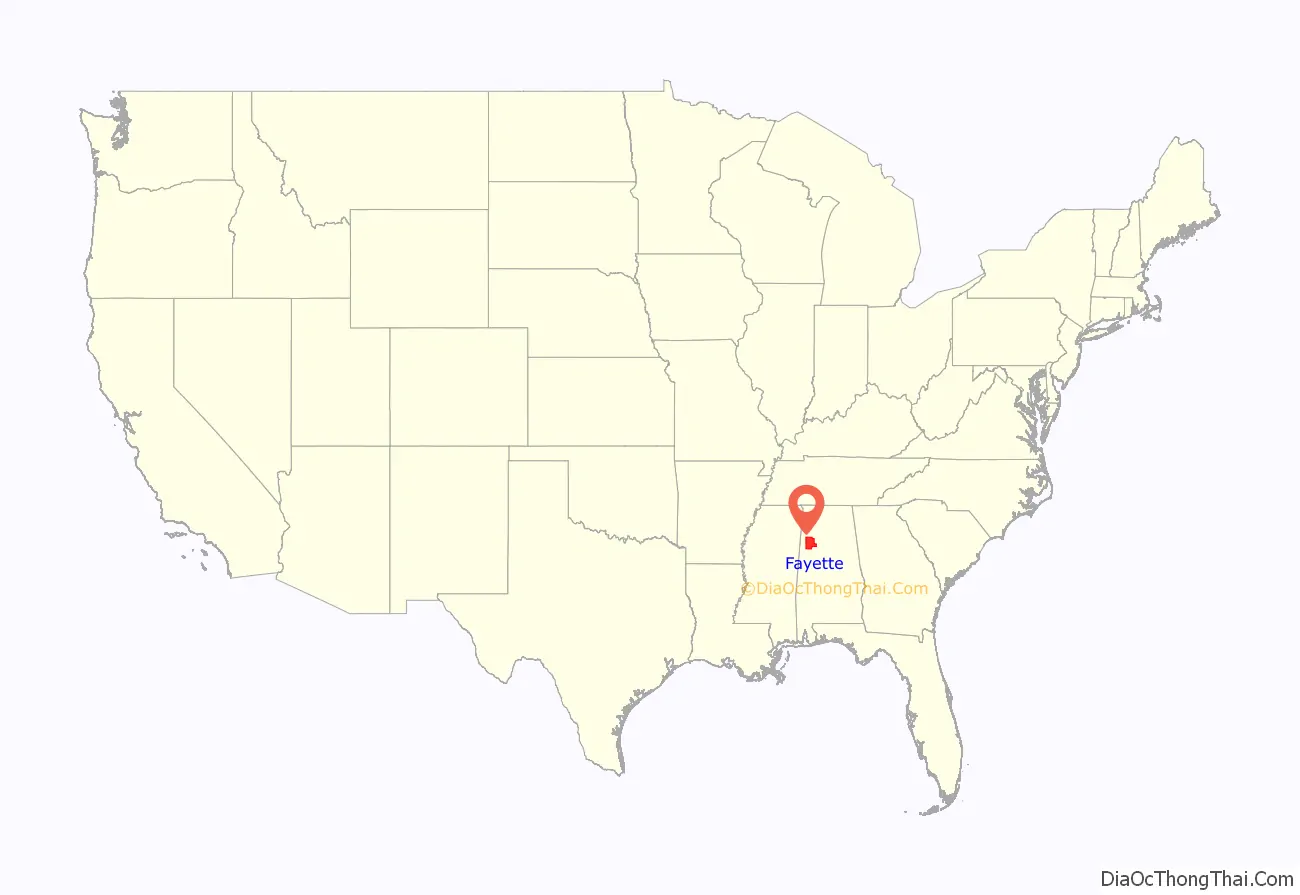
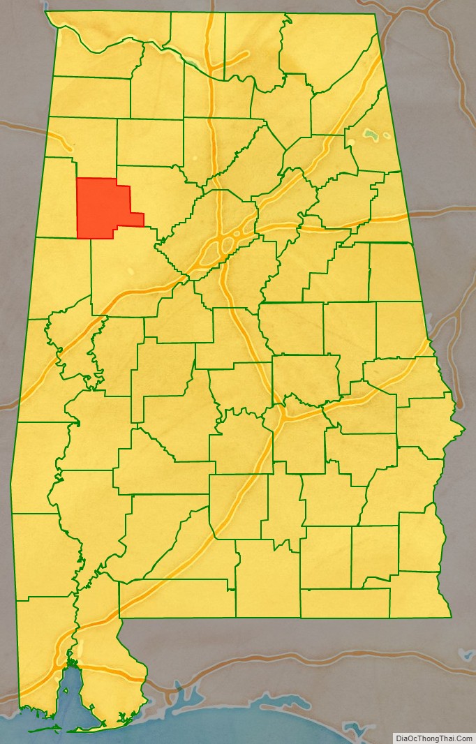
Fayette County location map. Where is Fayette County?
History
Fayette County was established on December 20, 1824, during Lafayette’s historic tour of the 24 United States
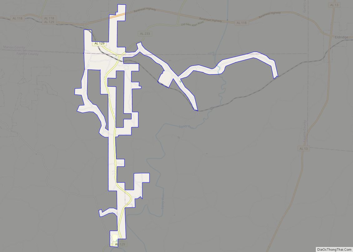
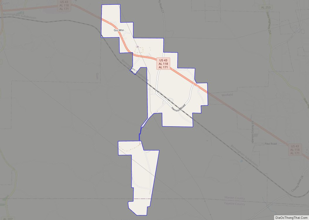
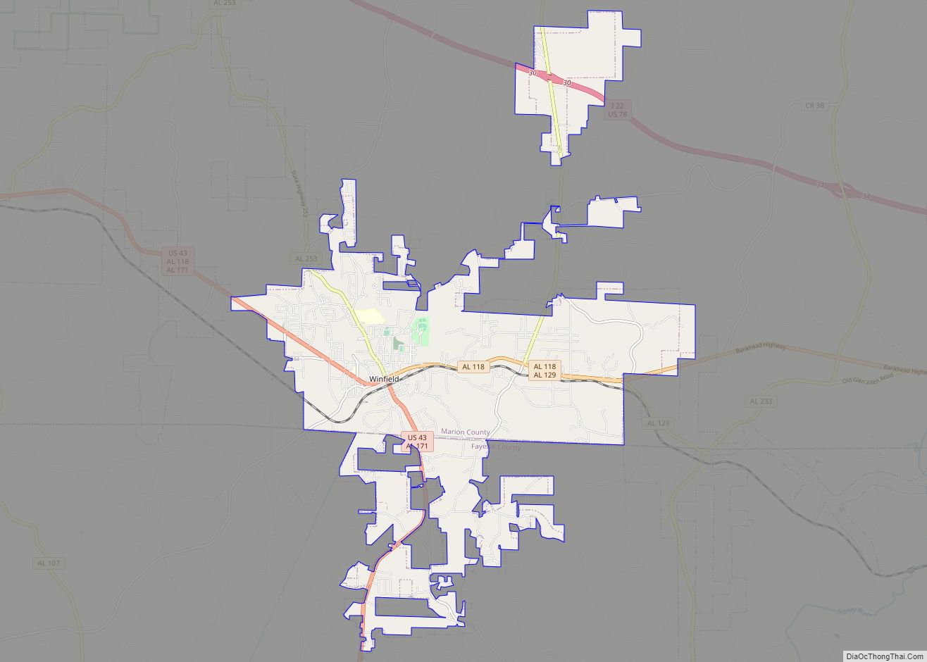
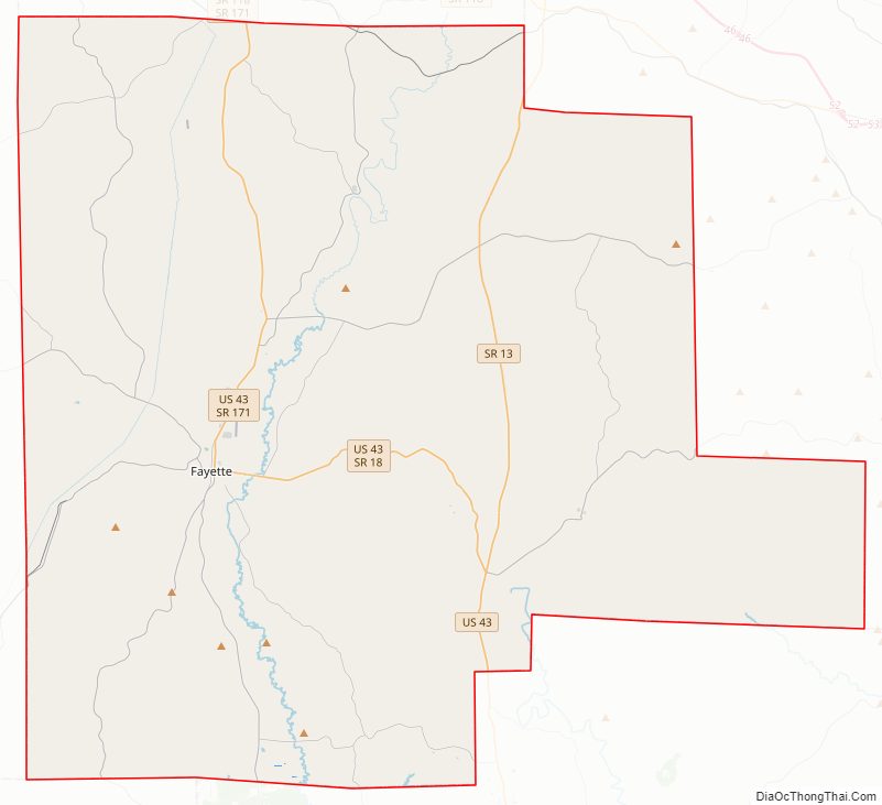
Fayette County Road Map
Geography
According to the United States Census Bureau, the county has a total area of 629 square miles (1,630 km), of which 628 square miles (1,630 km) is land and 1.7 square miles (4.4 km) (0.3%) is water.
Fayette County Topographic Map
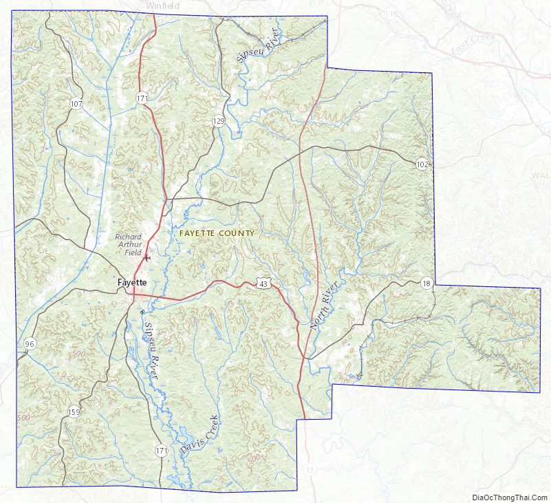
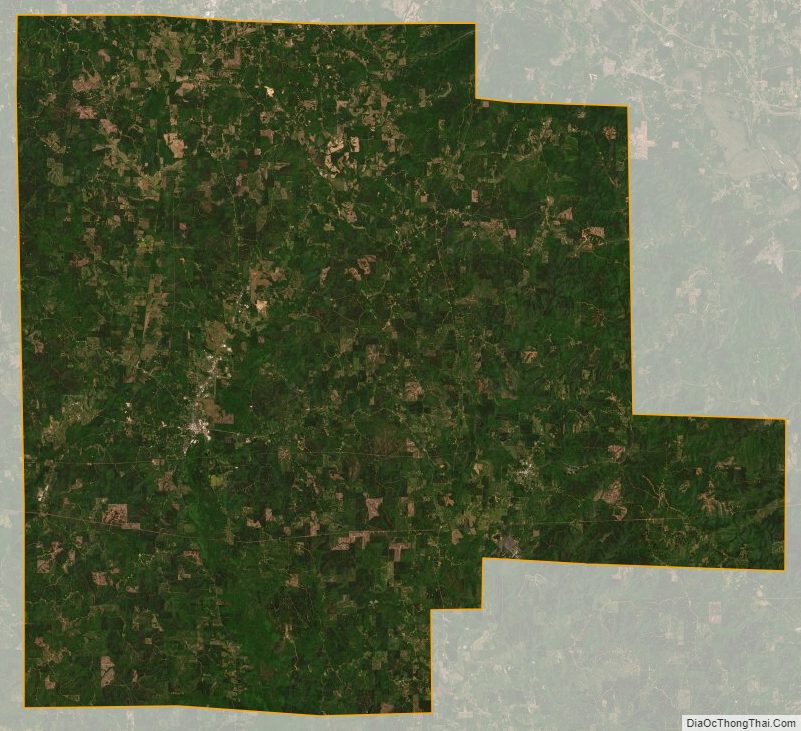
Fayette County Satellite Map
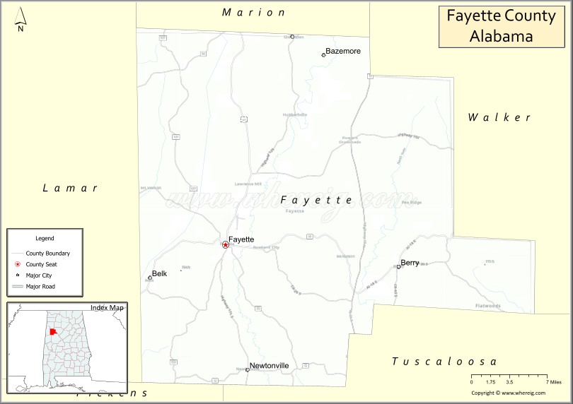
Fayette County Outline Map