Gu-Win is a town in Fayette and Marion counties in the U.S. state of Alabama. It incorporated in 1956. At the 2020 census the population was 141, down from 176 at the 2010 census. Although a small portion of the town is within Fayette County, all of the population as of 2010 resided in Marion County.
The town’s unusual name is taken from the names of its two neighboring cities, Guin and Winfield. “Gu-Win” and “Guin” are not the same, though the pronunciation is virtually the same, leading to occasional confusion by visitors. Gu-Win – Goo-win and Guin – G-you-in
| Name: | Gu-Win town |
|---|---|
| LSAD Code: | 43 |
| LSAD Description: | town (suffix) |
| State: | Alabama |
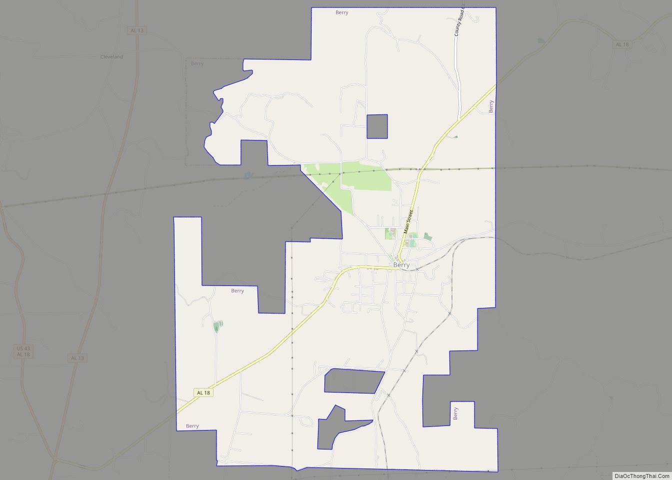
| County: | Fayette County, Marion County |
| Elevation: | 554 ft (169 m) |
| Total Area: | 1.94 sq mi (5.0 km²) |
| Land Area: | 1.94 sq mi (5.0 km²) |
| Water Area: | 0.00 sq mi (0.0 km²) |
| Total Population: | 141 |
| Population Density: | 72.57/sq mi (28.02/km²) |
| FIPS code: | 0132536 |
| GNISfeature ID: | 0119450 |
Online Interactive Map
Click on ![]() to view map in "full screen" mode.
to view map in "full screen" mode.
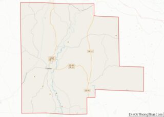
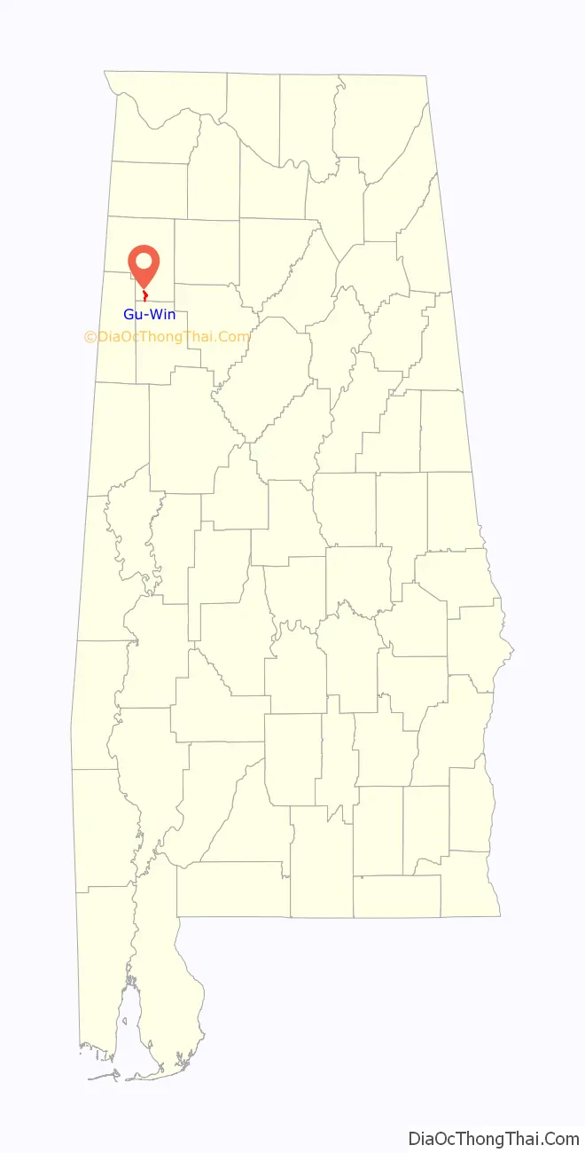
Gu-Win location map. Where is Gu-Win town?

History
The area Gu-Win occupies is between Guin and Winfield. Until the 1950s, it was known as “Ear Gap”. Not wanting to be annexed into Guin, it pursued incorporation for itself, and chose the name of the local drive-in theater, “Gu-Win”. As of 2019, the theater still operates, but has been renamed the Blue Moon.
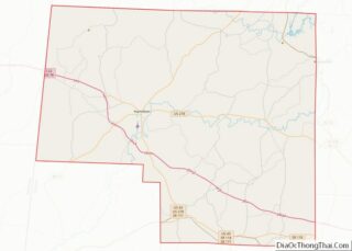
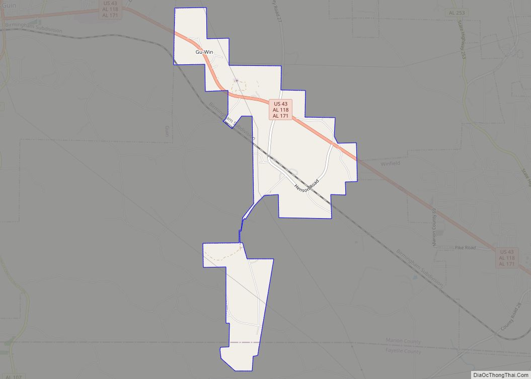
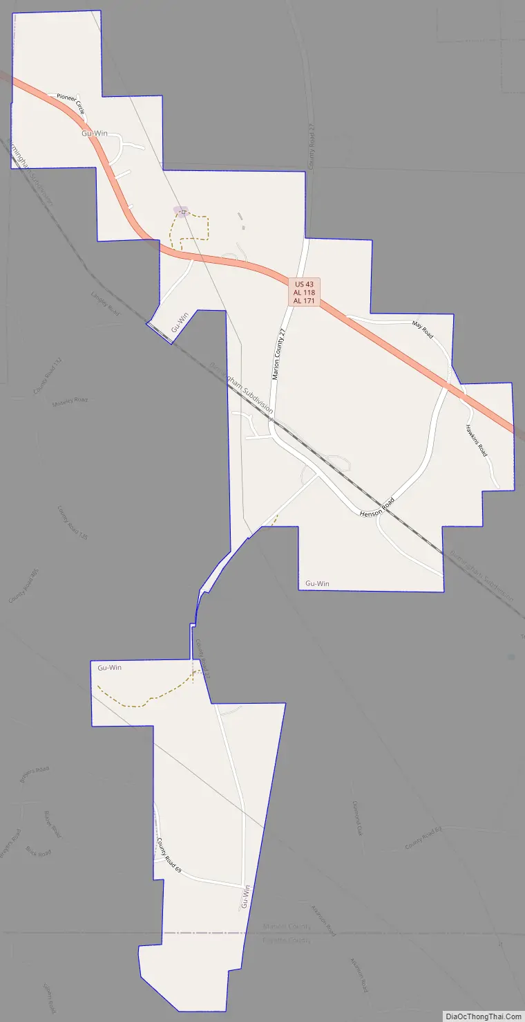
Gu-Win Road Map
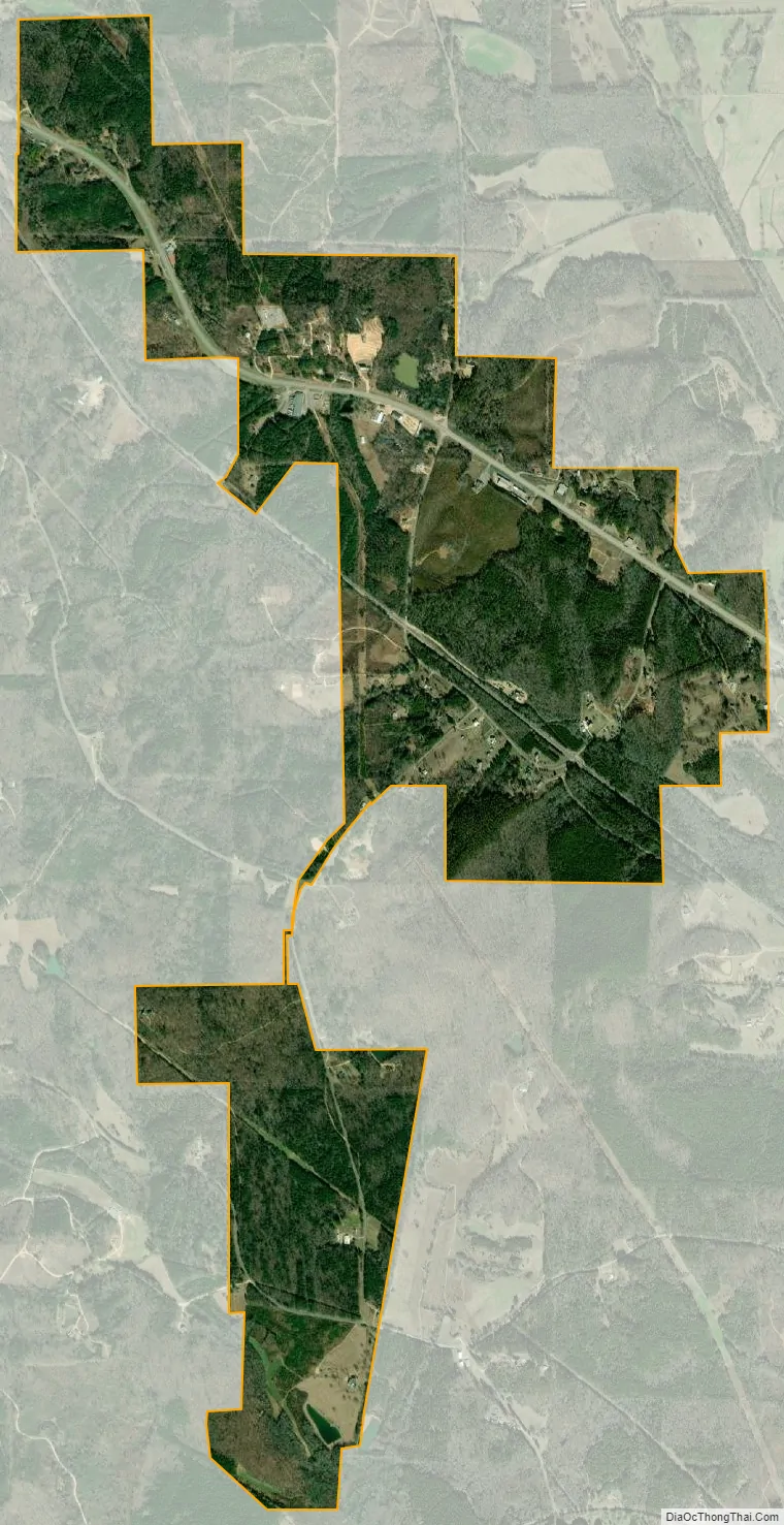
Gu-Win city Satellite Map
Geography
Gu-Win is located in southern Marion County at 33°56′58″N 87°52′19″W / 33.94944°N 87.87194°W / 33.94944; -87.87194 (33.949505, -87.871921), with a small portion extending south into Fayette County. U.S. Route 43 passes through the town, leading northwest 3 miles (5 km) to Guin and southeast the same distance to Winfield.
According to the U.S. Census Bureau, the town of Gu-Win has a total area of 1.9 square miles (4.9 km), all of it recorded as land. The town sits at a low gap between two subwatersheds that each lead to the Tombigbee River: the Buttahatchee River to the west, and Luxapallila Creek to the southeast. The local streams rising in the gap are Hughes Branch flowing to the west, and an unnamed tributary of Luxapallila Creek flowing to the southeast.
See also
Map of Alabama State and its subdivision:- Autauga
- Baldwin
- Barbour
- Bibb
- Blount
- Bullock
- Butler
- Calhoun
- Chambers
- Cherokee
- Chilton
- Choctaw
- Clarke
- Clay
- Cleburne
- Coffee
- Colbert
- Conecuh
- Coosa
- Covington
- Crenshaw
- Cullman
- Dale
- Dallas
- De Kalb
- Elmore
- Escambia
- Etowah
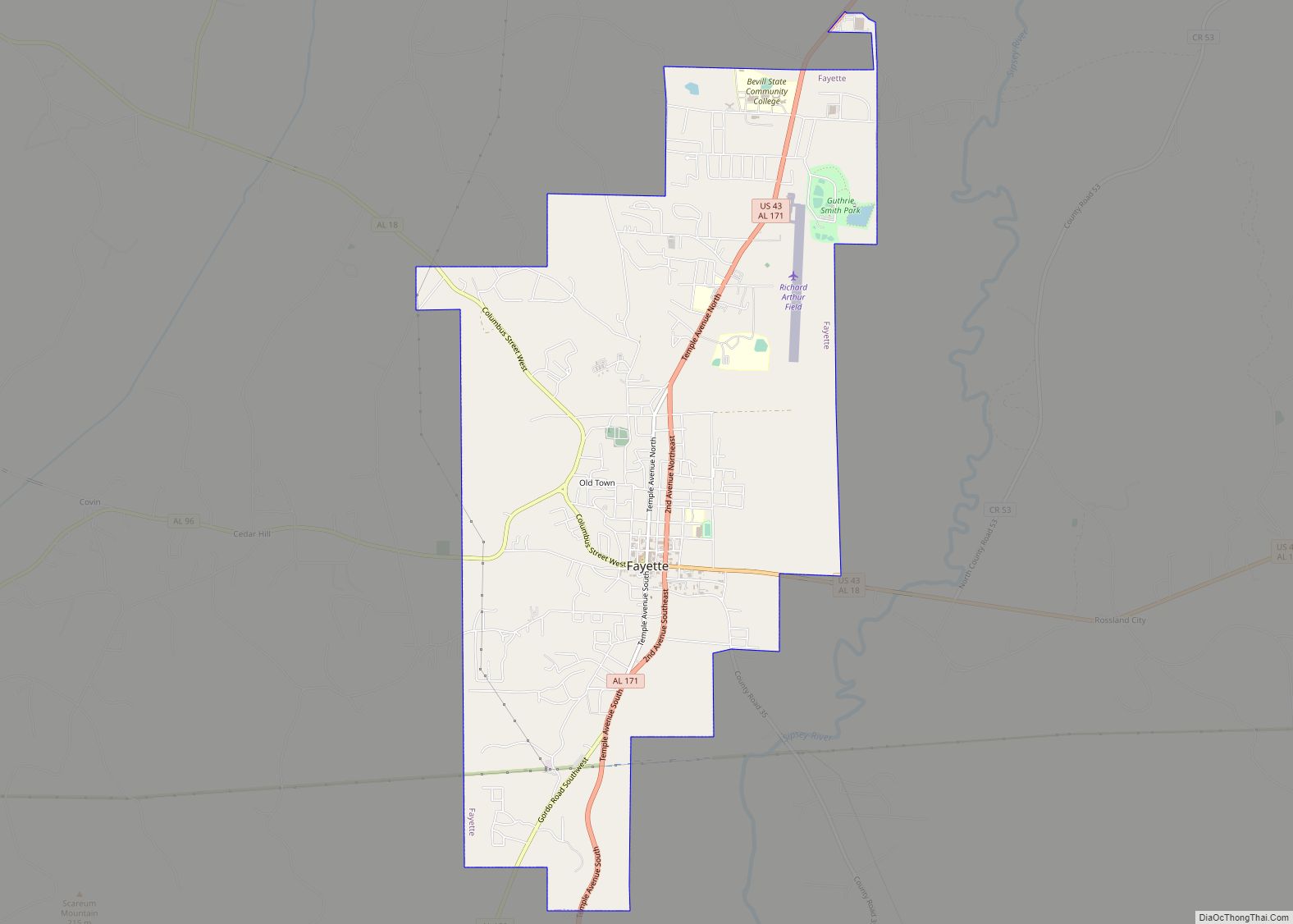
- Fayette
- Franklin
- Geneva
- Greene
- Hale
- Henry
- Houston
- Jackson
- Jefferson
- Lamar
- Lauderdale
- Lawrence
- Lee
- Limestone
- Lowndes
- Macon
- Madison
- Marengo
- Marion
- Marshall
- Mobile
- Monroe
- Montgomery
- Morgan
- Perry
- Pickens
- Pike
- Randolph
- Russell
- Saint Clair
- Shelby
- Sumter
- Talladega
- Tallapoosa
- Tuscaloosa
- Walker
- Washington
- Wilcox
- Winston
- Alabama
- Alaska
- Arizona
- Arkansas
- California
- Colorado
- Connecticut
- Delaware
- District of Columbia
- Florida
- Georgia
- Hawaii
- Idaho
- Illinois
- Indiana
- Iowa
- Kansas
- Kentucky
- Louisiana
- Maine
- Maryland
- Massachusetts
- Michigan
- Minnesota
- Mississippi
- Missouri
- Montana
- Nebraska
- Nevada
- New Hampshire
- New Jersey
- New Mexico
- New York
- North Carolina
- North Dakota
- Ohio
- Oklahoma
- Oregon
- Pennsylvania
- Rhode Island
- South Carolina
- South Dakota
- Tennessee
- Texas
- Utah
- Vermont
- Virginia
- Washington
- West Virginia
- Wisconsin
- Wyoming