Prestonsburg is a small home rule-class city in and the county seat of Floyd County, Kentucky, United States. It is in the eastern part of the state in the valley of the Big Sandy River. The population was 3,255 at the time of the 2010 census, down from 3,612 at the 2000 census.
| Name: | Prestonsburg city |
|---|---|
| LSAD Code: | 25 |
| LSAD Description: | city (suffix) |
| State: | Kentucky |
| County: | Floyd County |
| Incorporated: | March 9, 1867 |
| Elevation: | 633 ft (193 m) |
| Total Area: | 14.75 sq mi (38.20 km²) |
| Land Area: | 14.55 sq mi (37.68 km²) |
| Water Area: | 0.20 sq mi (0.52 km²) |
| Total Population: | 3,681 |
| Population Density: | 253.04/sq mi (97.70/km²) |
| ZIP code: | 41653 |
| Area code: | 606 |
| FIPS code: | 2162940 |
| GNISfeature ID: | 0501307 |
| Website: | prestonsburgcity.org |
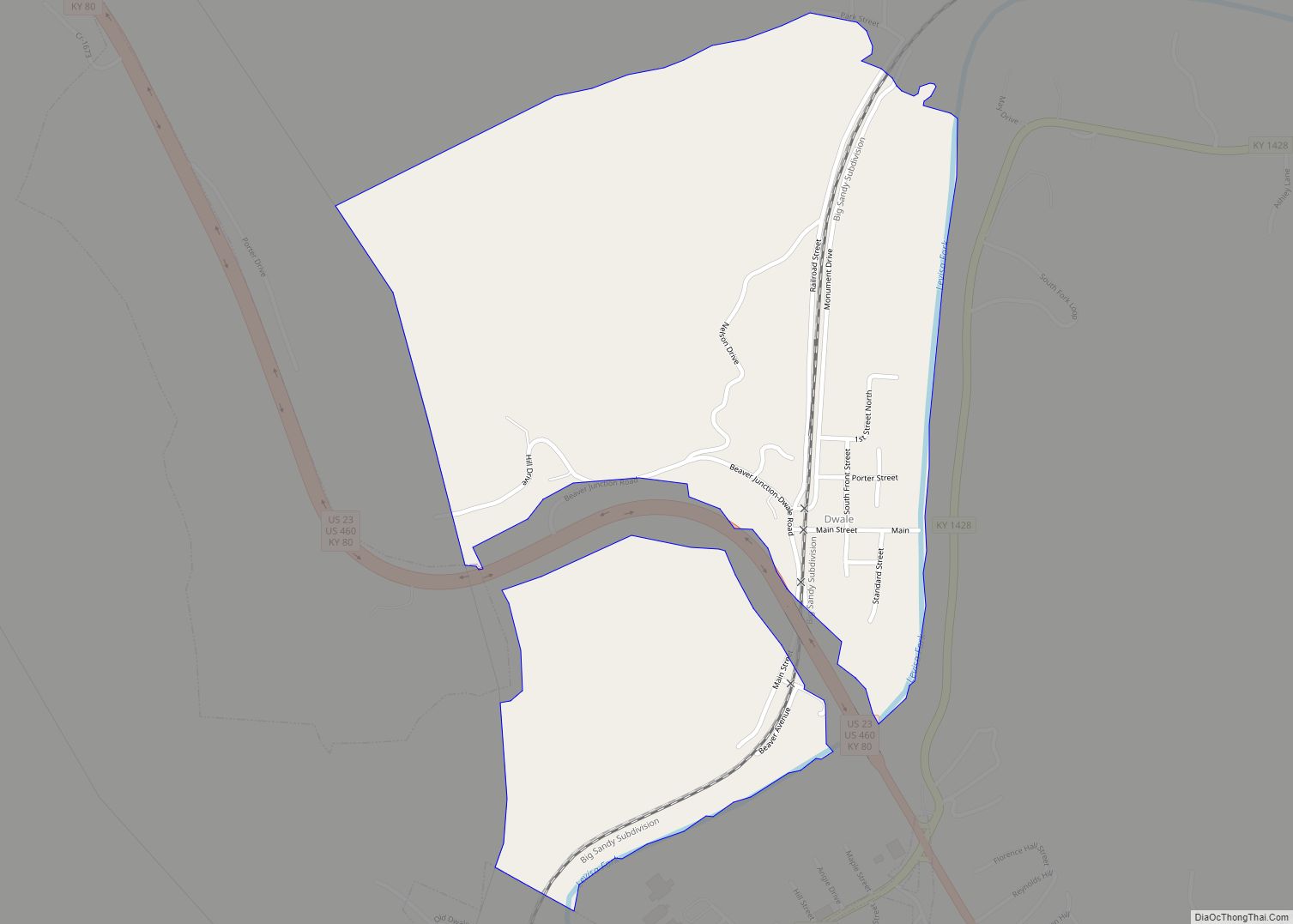
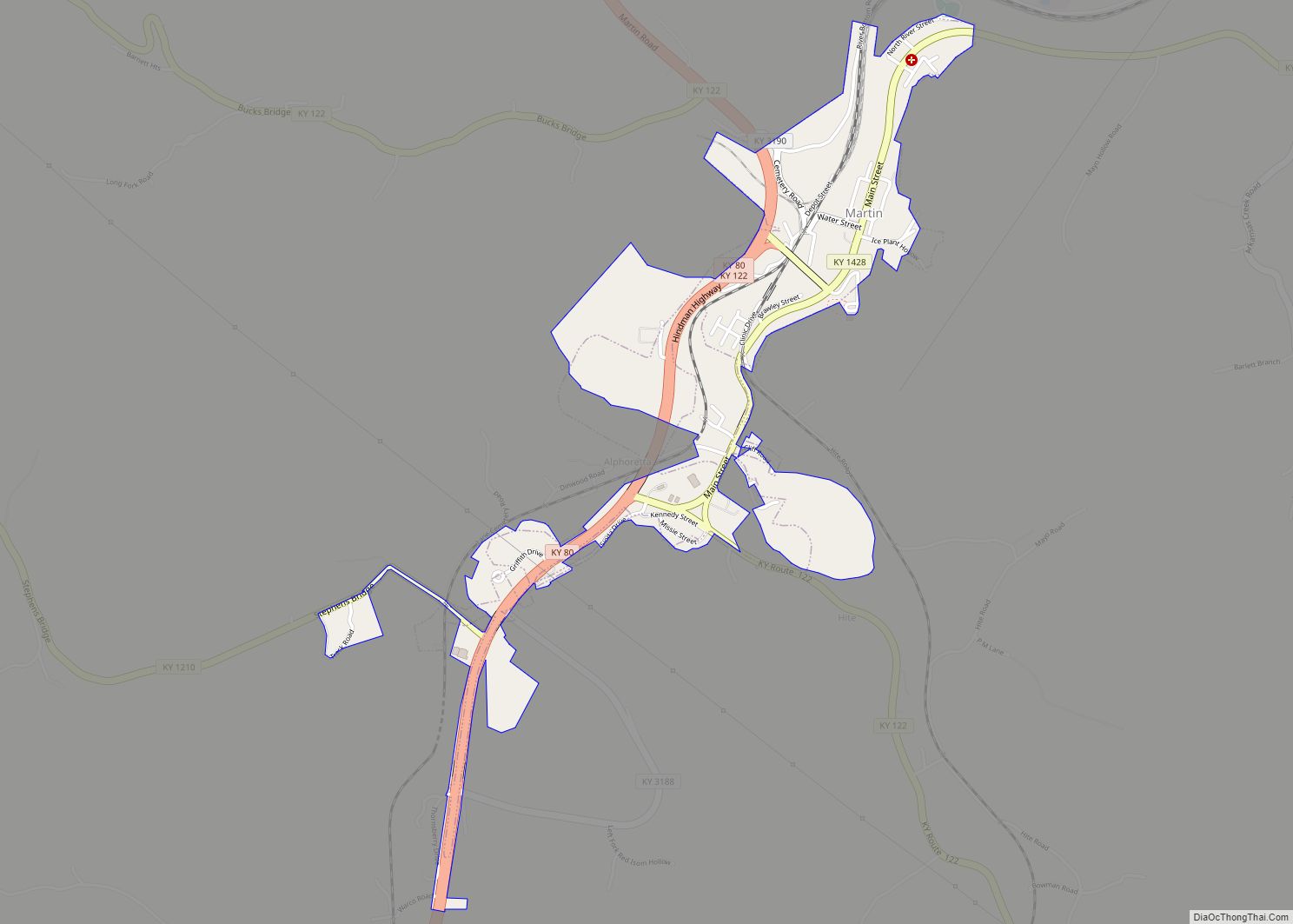
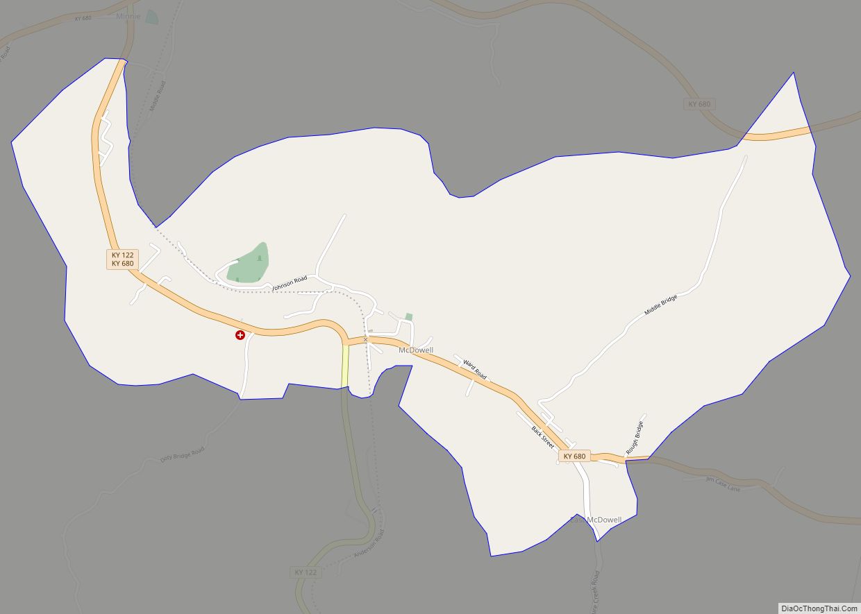
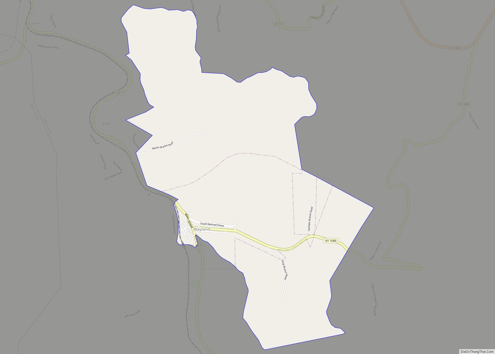
Online Interactive Map
Click on ![]() to view map in "full screen" mode.
to view map in "full screen" mode.
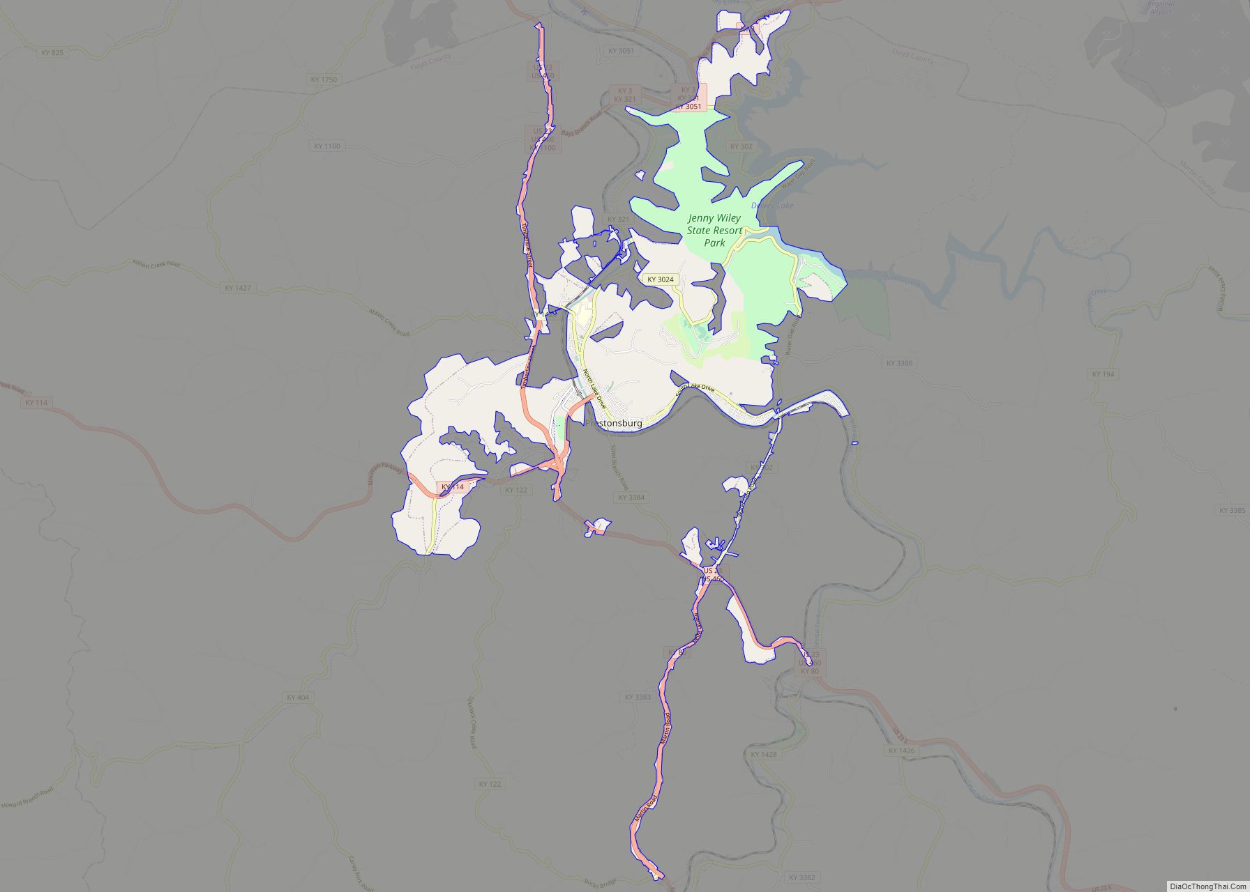
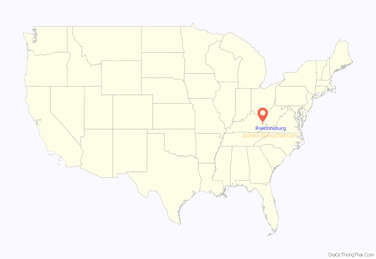
Prestonsburg location map. Where is Prestonsburg city?
History
The area was part of the 100,000-acre (400 km) grant in the early 1700s to the family of John Preston’s wife, born Elizabeth Patton, which he administered on her behalf. The grant was intended to permit British colonization beyond the Blue Ridge Mountains, but subsequent French and Indian resistance and a reversal of British policy limited its impact. The land was not settled until John Spurlock of Montgomery County, Virginia, arrived in 1791. He laid out the town of “Preston’s Station” in 1797. It became the seat of Floyd County upon its formation in 1799 and was formally established in 1818. The post office was known as “Floyd Court House” from its establishment in 1816 until the late 1820s, when it was renamed “Prestonsburg”.
On January 10, 1862, nearby Middle Creek was the scene of the largest battle of the Civil War to occur in eastern Kentucky. The town was also the site of one of the worst school bus disasters in American history on February 28, 1958.
The town had a pack horse library in the late 1930s to bring library materials to rural mountain residents.
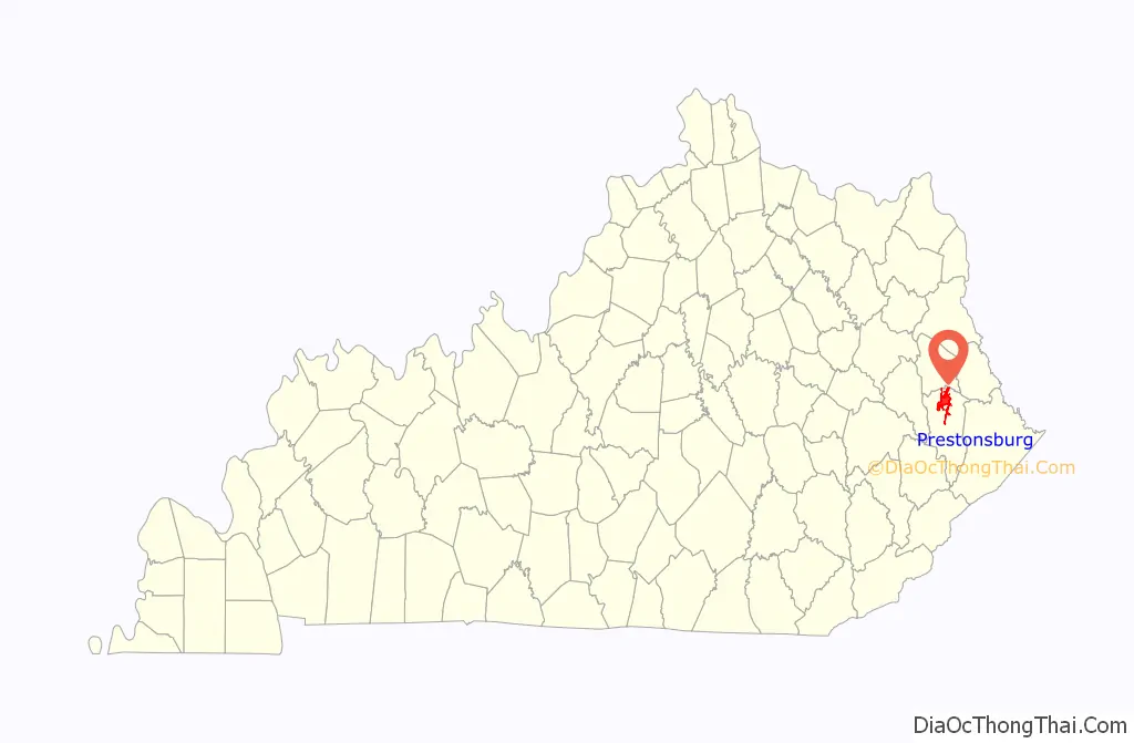
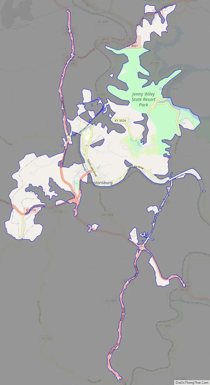
Prestonsburg Road Map
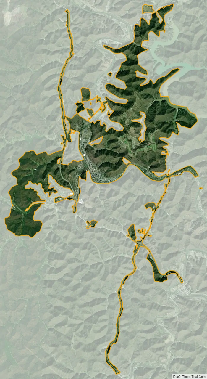
Prestonsburg city Satellite Map
Geography
Prestonsburg is located in northern Floyd County at 37°39′56″N 82°46′18″W / 37.66556°N 82.77167°W / 37.66556; -82.77167 (37.6656527, -82.7715486) in the eastern part of the state, along the banks of the Levisa Fork of the Big Sandy River. It is 13 miles (21 km) south of Paintsville and 25 miles (40 km) northwest of Pikeville. According to the United States Census Bureau, Prestonsburg has a total area of 12.9 square miles (33.4 km), of which 12.7 square miles (32.9 km) is land and 0.2 square miles (0.5 km), or 1.52%, is water.
Climate
See also
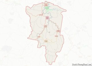
Map of Kentucky State and its subdivision:- Adair
- Allen
- Anderson
- Ballard
- Barren
- Bath
- Bell
- Boone
- Bourbon
- Boyd
- Boyle
- Bracken
- Breathitt
- Breckinridge
- Bullitt
- Butler
- Caldwell
- Calloway
- Campbell
- Carlisle
- Carroll
- Carter
- Casey
- Christian
- Clark
- Clay
- Clinton
- Crittenden
- Cumberland
- Daviess
- Edmonson
- Elliott
- Estill
- Fayette
- Fleming
- Floyd
- Franklin
- Fulton
- Gallatin
- Garrard
- Grant
- Graves
- Grayson
- Green
- Greenup
- Hancock
- Hardin
- Harlan
- Harrison
- Hart
- Henderson
- Henry
- Hickman
- Hopkins
- Jackson
- Jefferson
- Jessamine
- Johnson
- Kenton
- Knott
- Knox
- Larue
- Laurel
- Lawrence
- Lee
- Leslie
- Letcher
- Lewis
- Lincoln
- Livingston
- Logan
- Lyon
- Madison
- Magoffin
- Marion
- Marshall
- Martin
- Mason
- McCracken
- McCreary
- McLean
- Meade
- Menifee
- Mercer
- Metcalfe
- Monroe
- Montgomery
- Morgan
- Muhlenberg
- Nelson
- Nicholas
- Ohio
- Oldham
- Owen
- Owsley
- Pendleton
- Perry
- Pike
- Powell
- Pulaski
- Robertson
- Rockcastle
- Rowan
- Russell
- Scott
- Shelby
- Simpson
- Spencer
- Taylor
- Todd
- Trigg
- Trimble
- Union
- Warren
- Washington
- Wayne
- Webster
- Whitley
- Wolfe
- Woodford
- Alabama
- Alaska
- Arizona
- Arkansas
- California
- Colorado
- Connecticut
- Delaware
- District of Columbia
- Florida
- Georgia
- Hawaii
- Idaho
- Illinois
- Indiana
- Iowa
- Kansas
- Kentucky
- Louisiana
- Maine
- Maryland
- Massachusetts
- Michigan
- Minnesota
- Mississippi
- Missouri
- Montana
- Nebraska
- Nevada
- New Hampshire
- New Jersey
- New Mexico
- New York
- North Carolina
- North Dakota
- Ohio
- Oklahoma
- Oregon
- Pennsylvania
- Rhode Island
- South Carolina
- South Dakota
- Tennessee
- Texas
- Utah
- Vermont
- Virginia
- Washington
- West Virginia
- Wisconsin
- Wyoming