| Name: | Franklin Parish |
|---|---|
| FIPS code: | 22-041 |
| State: | Louisiana |
| Founded: | 1843 |
| Named for: | Benjamin Franklin |
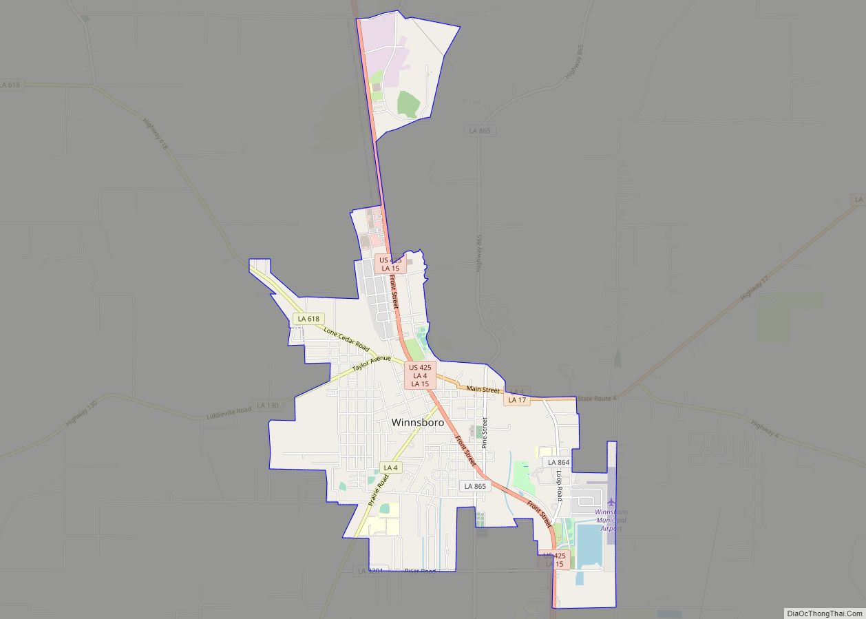
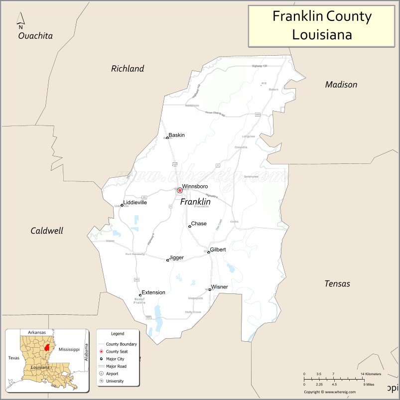
| Seat: | Winnsboro |
| Largest city: | Winnsboro |
| Total Area: | 635 sq mi (1,640 km²) |
| Land Area: | 625 sq mi (1,620 km²) |
| Total Population: | 19,774 |
| Population Density: | 31/sq mi (12/km²) |
| Time zone: | UTC−6 (Central) |
| Summer Time Zone (DST): | UTC−5 (CDT) |
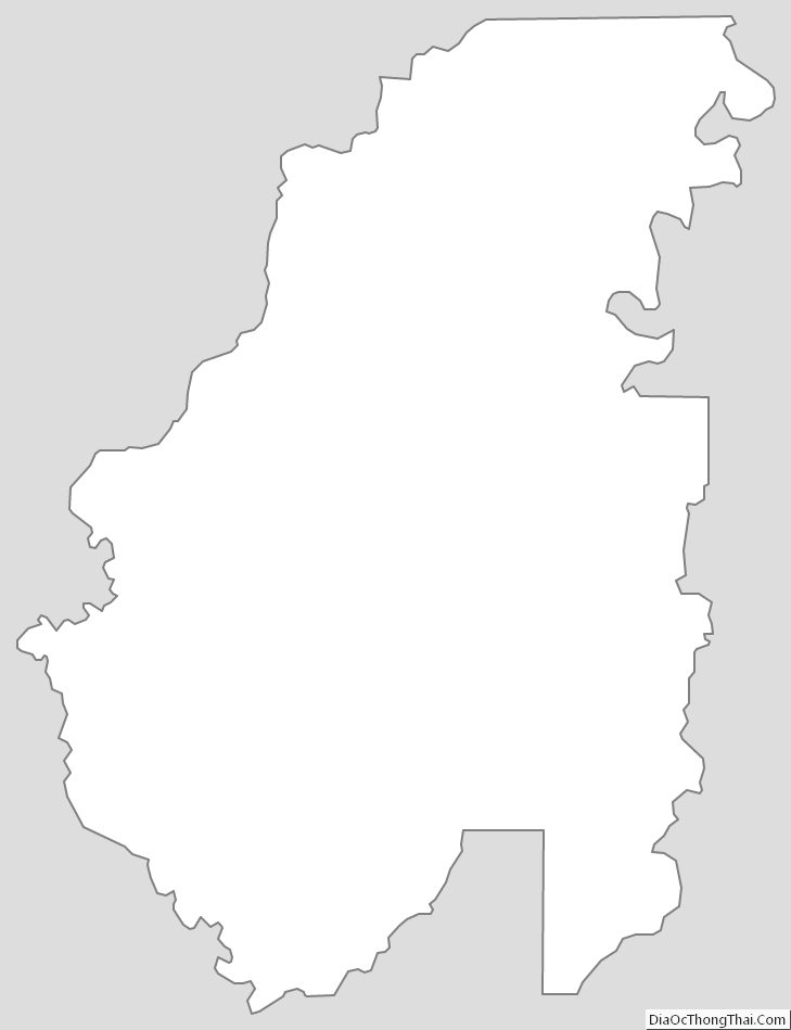
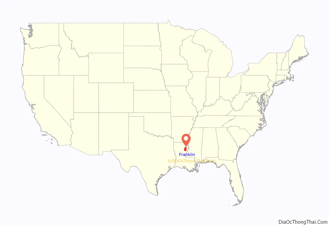
Franklin Parish location map. Where is Franklin Parish?
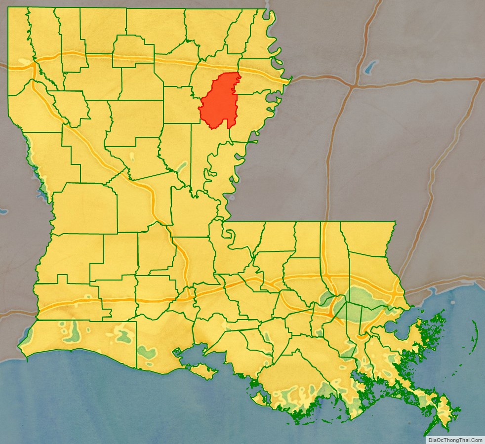
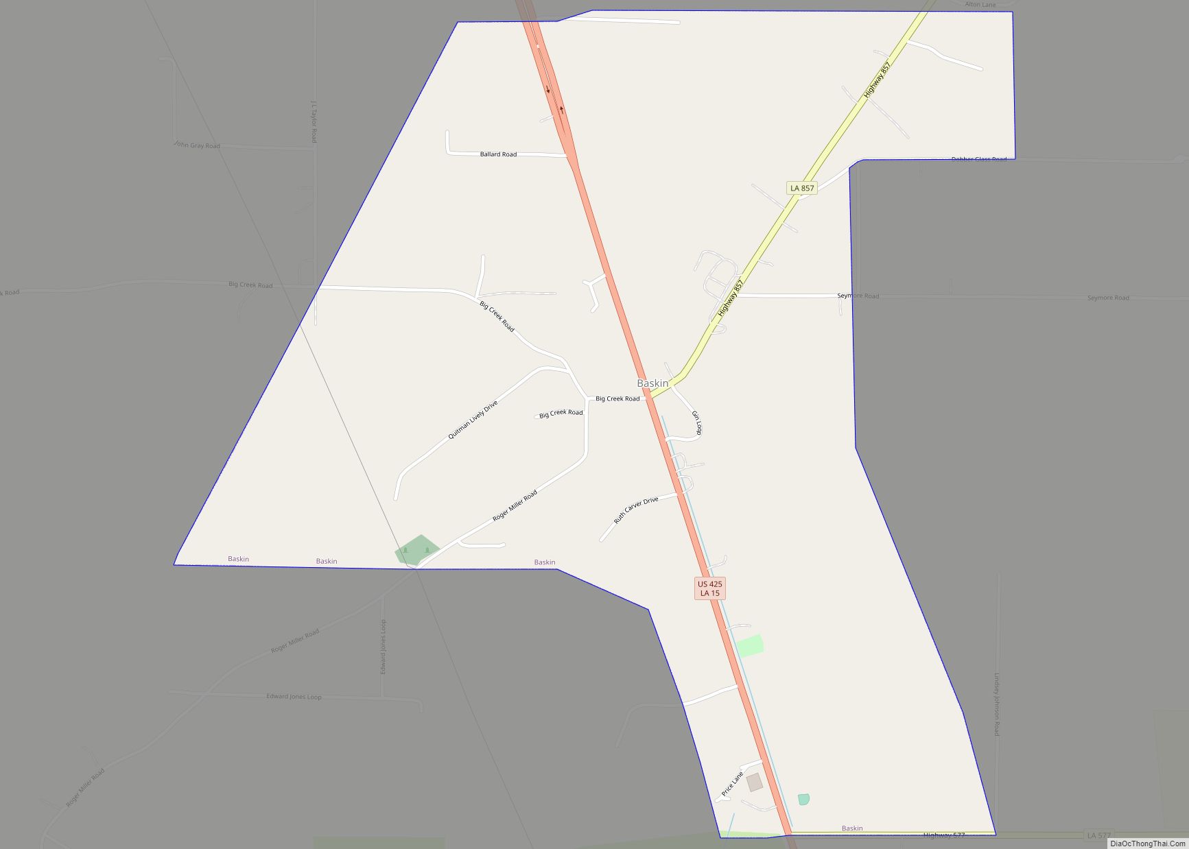
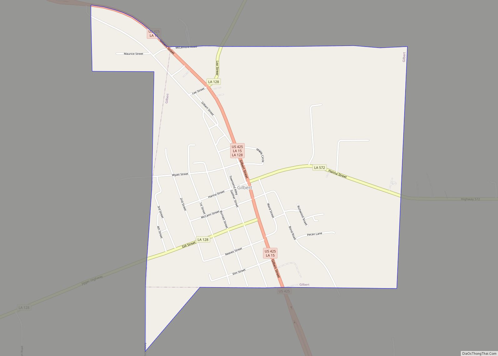
Franklin Parish Road Map
Geography
According to the U.S. Census Bureau, the parish has a total area of 635 square miles (1,640 km), of which 625 square miles (1,620 km) is land and 11 square miles (28 km) (1.7%) is water.
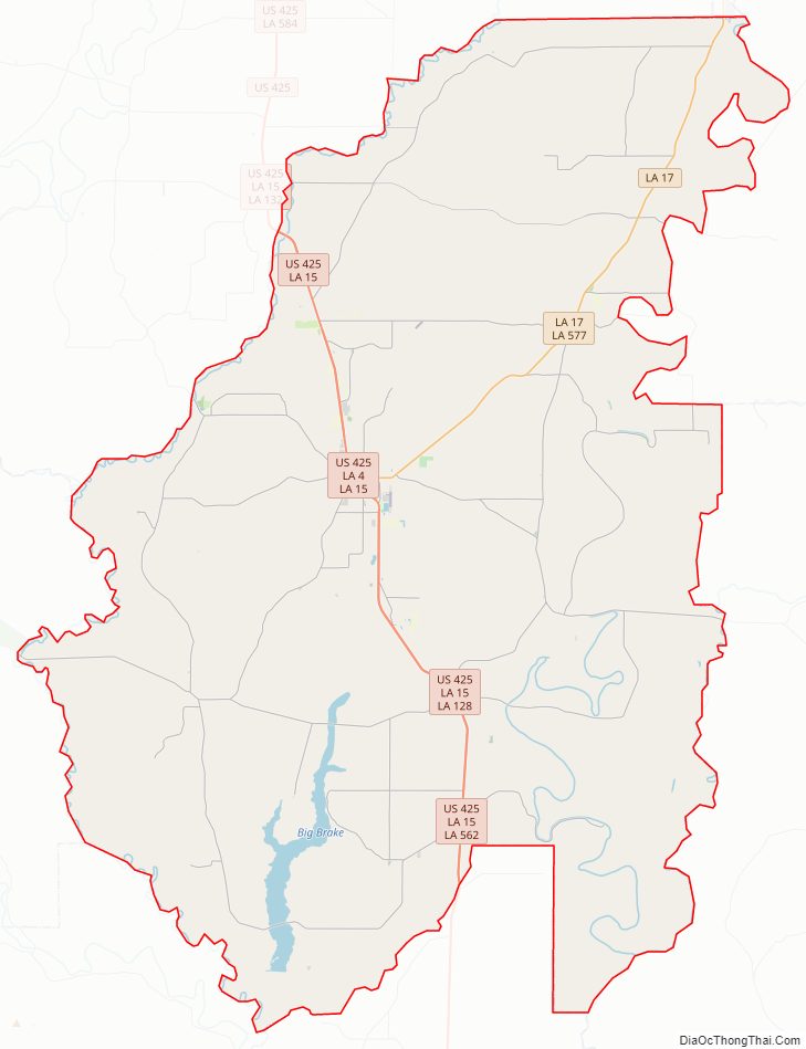
Major highways
- Louisiana Highway 4
- Louisiana Highway 15
- Louisiana Highway 17
- U.S. Highway 425
Adjacent parishes
- Richland Parish (north)
- Madison Parish (northeast)
- Tensas Parish (southeast)
- Catahoula Parish (south)
- Caldwell Parish (west)
National protected area
- Tensas River National Wildlife Refuge (part)
Franklin Parish Topographic Map
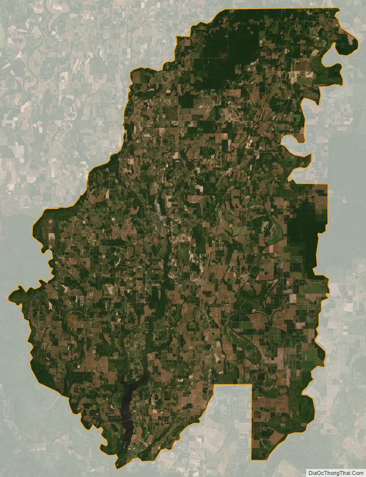
Franklin Parish Satellite Map
Franklin Parish Outline Map