Winnsboro is a city in, and the parish seat of Franklin Parish, Louisiana, United States. As of 2020, its population was 4,862.
| Name: | Winnsboro city |
|---|---|
| LSAD Code: | 25 |
| LSAD Description: | city (suffix) |
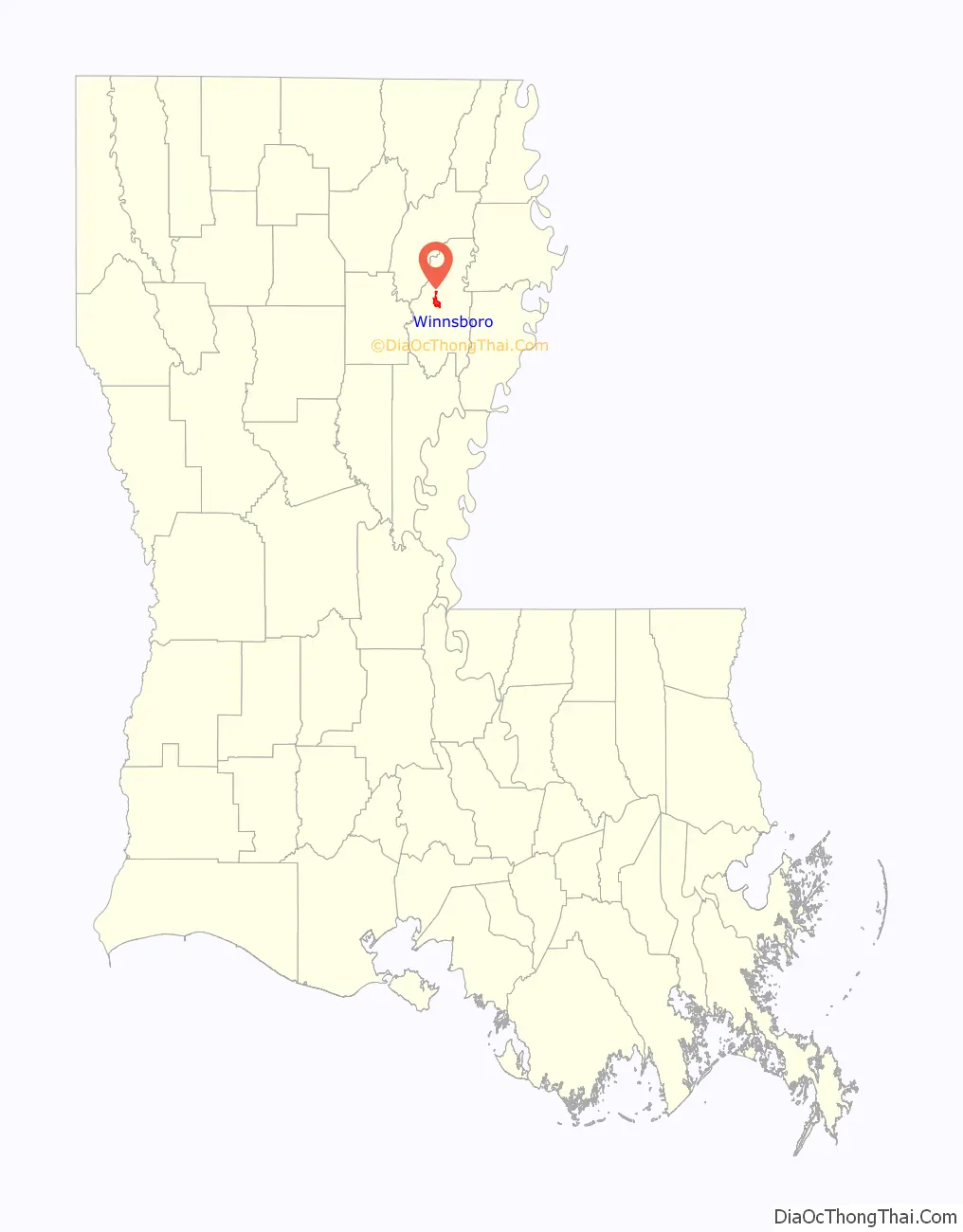
| State: | Louisiana |
| County: | Franklin Parish |
| Total Area: | 4.06 sq mi (10.52 km²) |
| Land Area: | 4.00 sq mi (10.35 km²) |
| Water Area: | 0.06 sq mi (0.16 km²) |
| Total Population: | 4,862 |
| Population Density: | 1,216.11/sq mi (469.54/km²) |
| ZIP code: | 71295 |
| Area code: | 318 |
| FIPS code: | 2282495 |
Online Interactive Map
Click on ![]() to view map in "full screen" mode.
to view map in "full screen" mode.
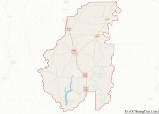
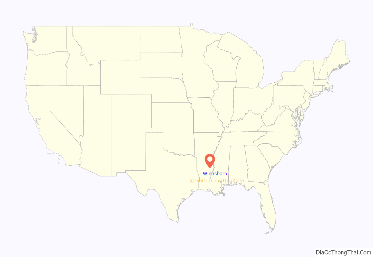
Winnsboro location map. Where is Winnsboro city?
History
Franklin Parish was created on March 1, 1843, from portions of Ouachita, Catahoula, and Madison parishes through the efforts of Louisiana Senator John Winn. Land for a centrally located parish seat, Winnsborough (later Winnsboro), was purchased in 1844. It was designated as the parish seat of government in 1846 and incorporated on March 18, 1902.
Early Winnsboro City records show that the telephone came to Winnsboro in 1905; electricity in 1914; and water and sewer service in 1923. In 1924, a volunteer fire department was formed. Most of the community’s streets were hard surfaced after 1950.
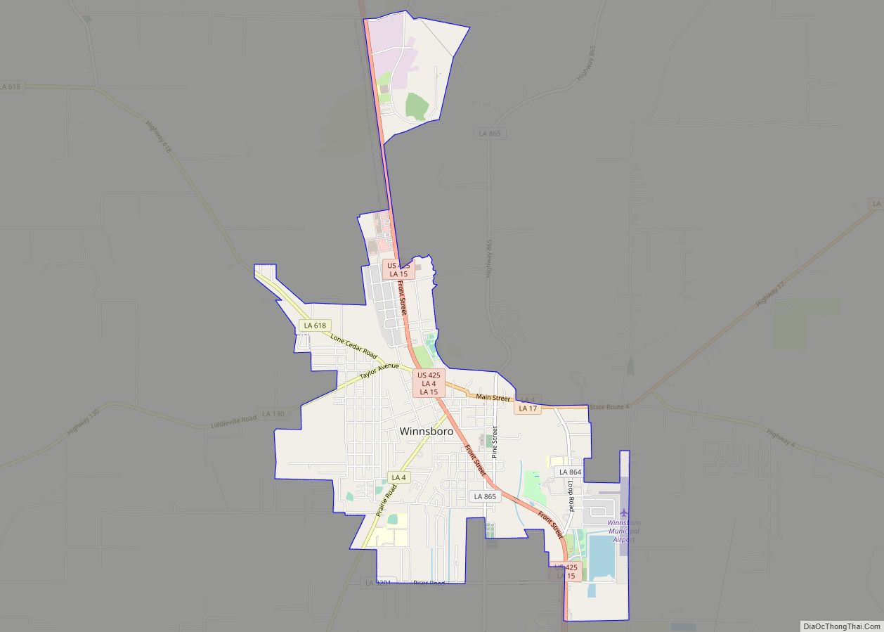
Winnsboro Road Map
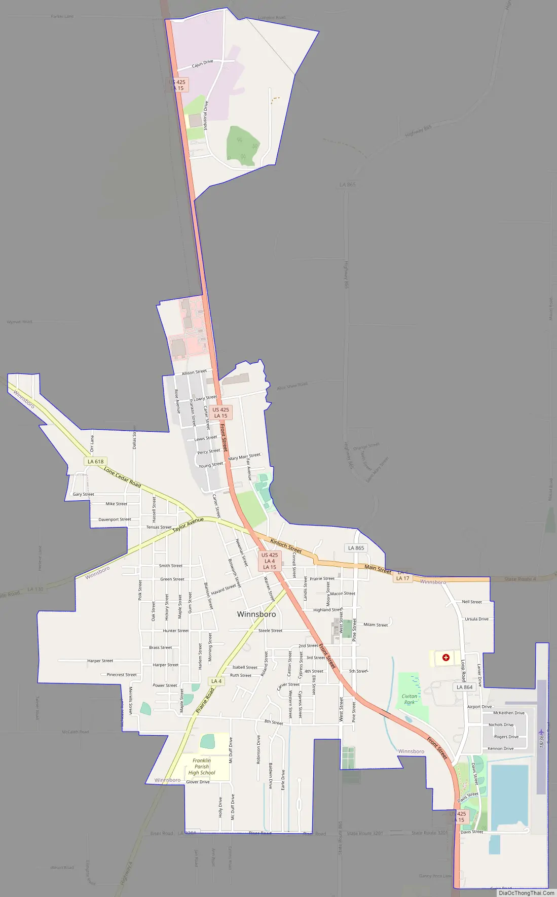
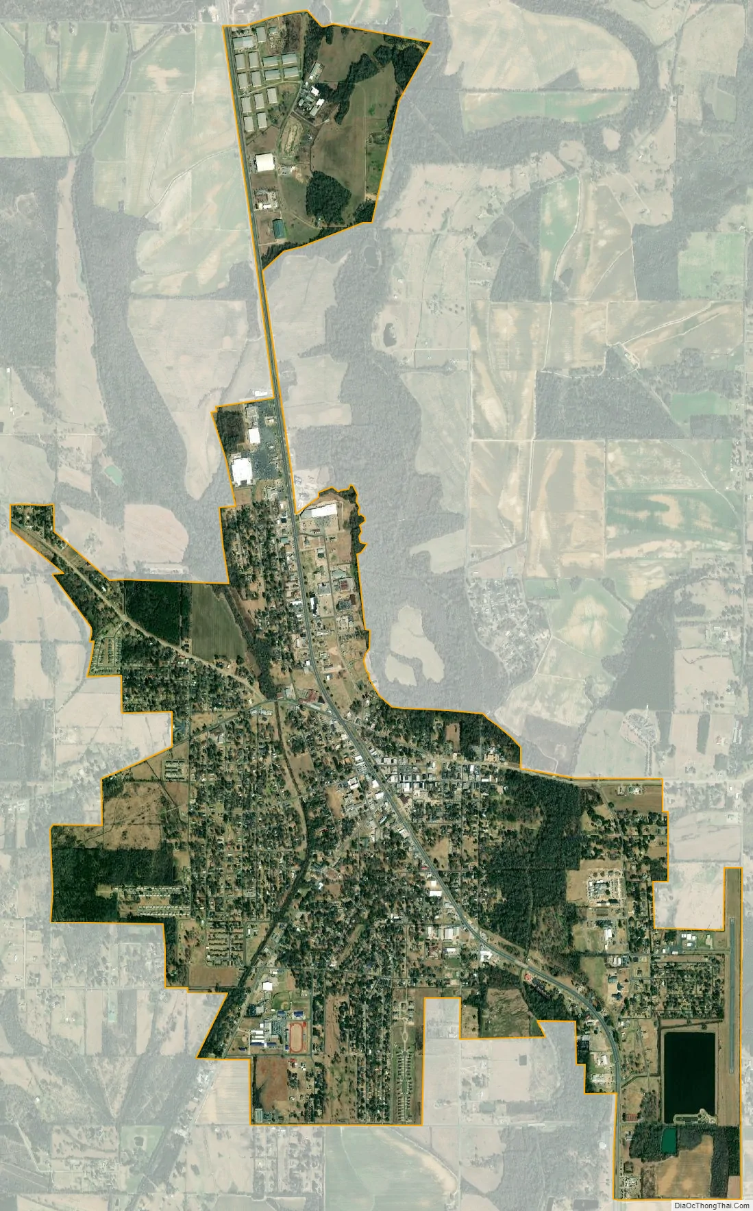
Winnsboro city Satellite Map
Geography
According to the United States Census Bureau, the city has a total area of 4.14 square miles (10.73 km), of which 4.08 square miles (10.57 km) is land and 0.06 square miles (0.16 km), or 1.49%, is water.
Climate
See also
Map of Louisiana State and its subdivision:- Acadia
- Allen
- Ascension
- Assumption
- Avoyelles
- Beauregard
- Bienville
- Bossier
- Caddo
- Calcasieu
- Caldwell
- Cameron
- Catahoula
- Claiborne
- Concordia
- De Soto
- East Baton Rouge
- East Carroll
- East Feliciana
- Evangeline
- Franklin
- Grant
- Iberia
- Iberville
- Jackson
- Jefferson
- Jefferson Davis
- La Salle
- Lafayette
- Lafourche
- Lincoln
- Livingston
- Madison
- Morehouse
- Natchitoches
- Orleans
- Ouachita
- Plaquemines
- Pointe Coupee
- Rapides
- Red River
- Richland
- Sabine
- Saint Bernard
- Saint Charles
- Saint Helena
- Saint James
- Saint John the Baptist
- Saint Landry
- Saint Martin
- Saint Mary
- Saint Tammany
- Tangipahoa
- Tensas
- Terrebonne
- Union
- Vermilion
- Vernon
- Washington
- Webster
- West Baton Rouge
- West Carroll
- West Feliciana
- Winn
- Alabama
- Alaska
- Arizona
- Arkansas
- California
- Colorado
- Connecticut
- Delaware
- District of Columbia
- Florida
- Georgia
- Hawaii
- Idaho
- Illinois
- Indiana
- Iowa
- Kansas
- Kentucky
- Louisiana
- Maine
- Maryland
- Massachusetts
- Michigan
- Minnesota
- Mississippi
- Missouri
- Montana
- Nebraska
- Nevada
- New Hampshire
- New Jersey
- New Mexico
- New York
- North Carolina
- North Dakota
- Ohio
- Oklahoma
- Oregon
- Pennsylvania
- Rhode Island
- South Carolina
- South Dakota
- Tennessee
- Texas
- Utah
- Vermont
- Virginia
- Washington
- West Virginia
- Wisconsin
- Wyoming