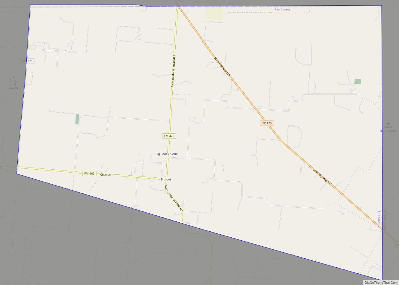
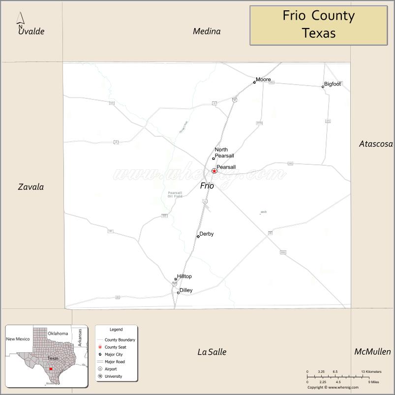
| Name: | Frio County |
|---|---|
| FIPS code: | 48-163 |
| State: | Texas |
| Founded: | 1871 |
| Named for: | Frio River |
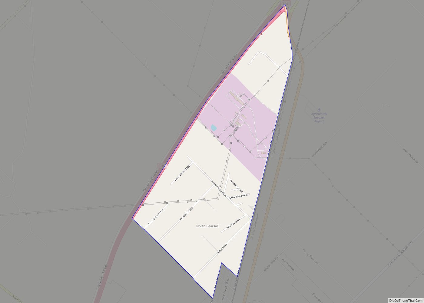
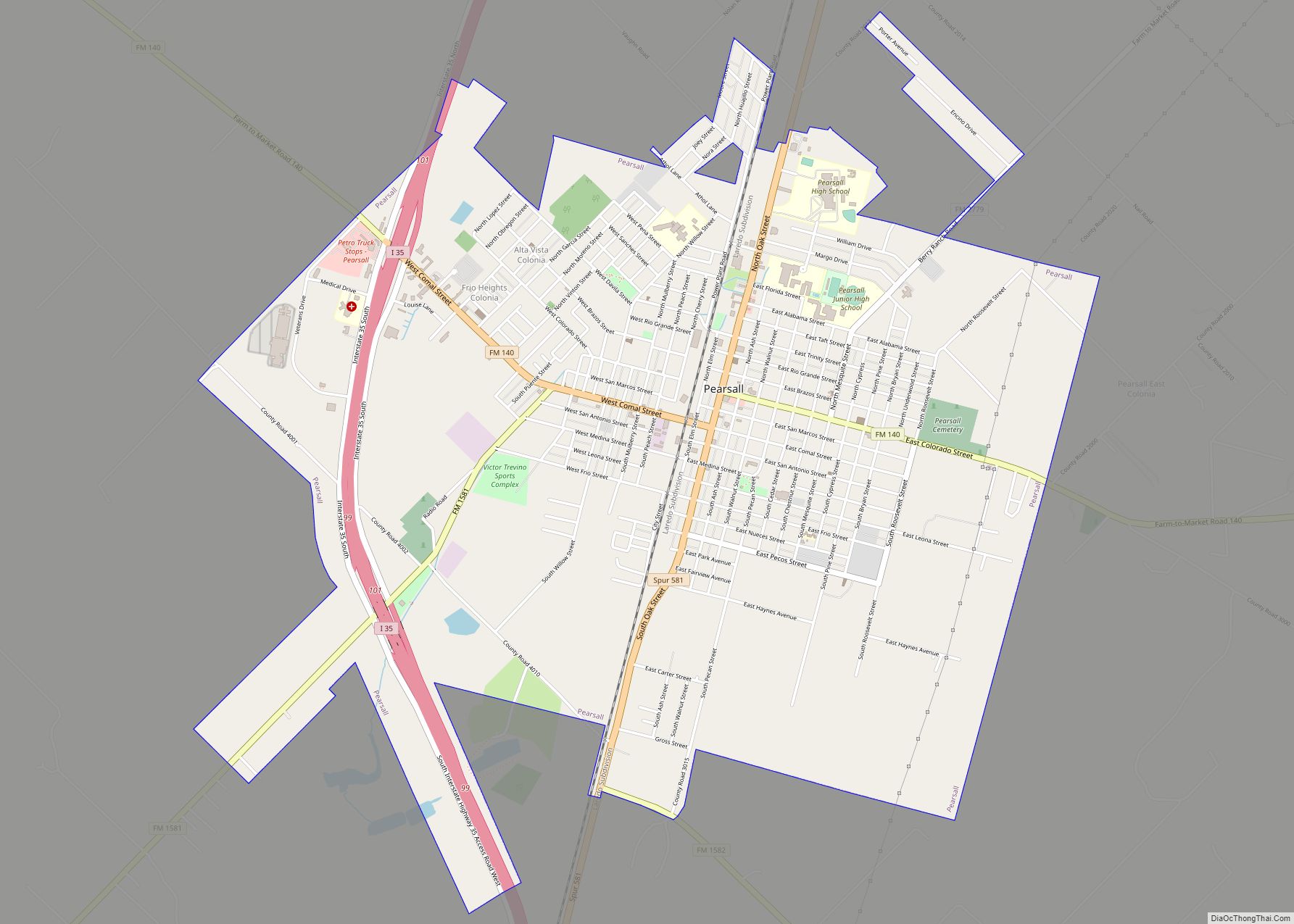
| Seat: | Pearsall |
| Largest city: | Pearsall |
| Total Area: | 1,134 sq mi (2,940 km²) |
| Land Area: | 1,134 sq mi (2,940 km²) |
| Total Population: | 18,385 |
| Population Density: | 15/sq mi (6/km²) |
| Time zone: | UTC−6 (Central) |
| Summer Time Zone (DST): | UTC−5 (CDT) |
| Website: | www.co.frio.tx.us |
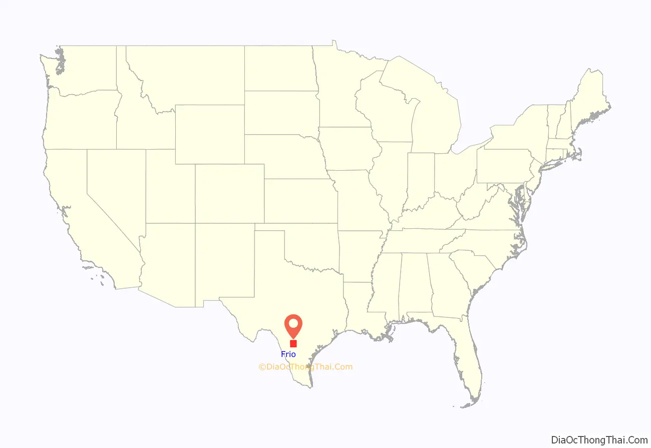
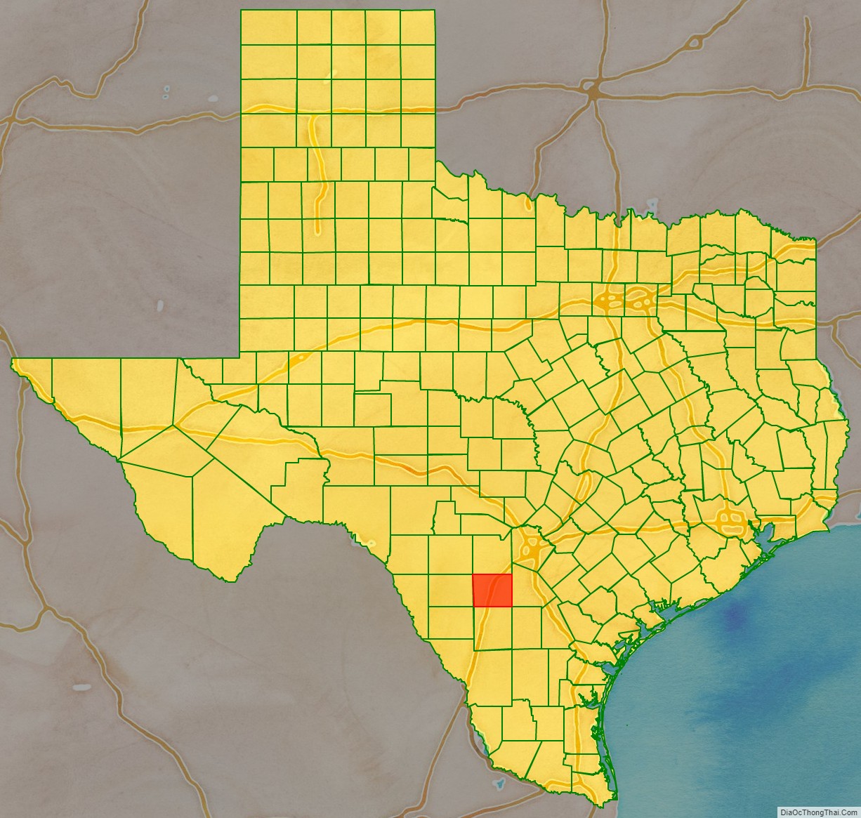
Frio County location map. Where is Frio County?
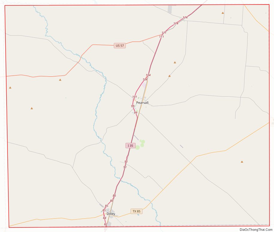
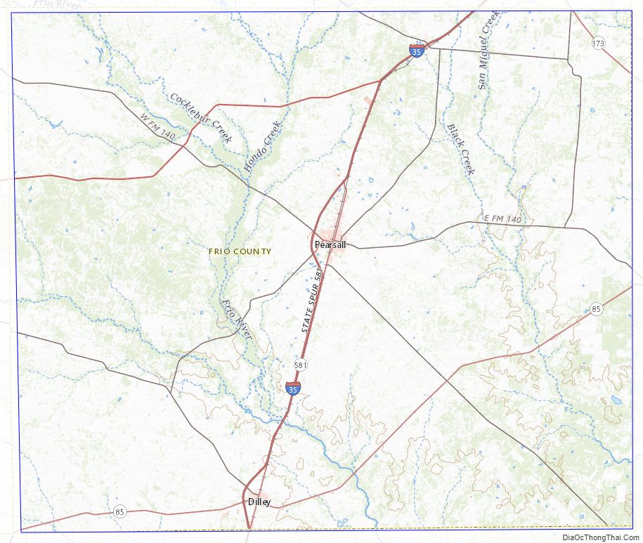
Frio County Road Map
Geography
According to the U.S. Census Bureau, the county has a total area of 1,134 square miles (2,940 km), of which 1,134 sq mi (2,940 km) are land and 0.8 sq mi (2.1 km) (0.07%) is covered by water.
Major highways
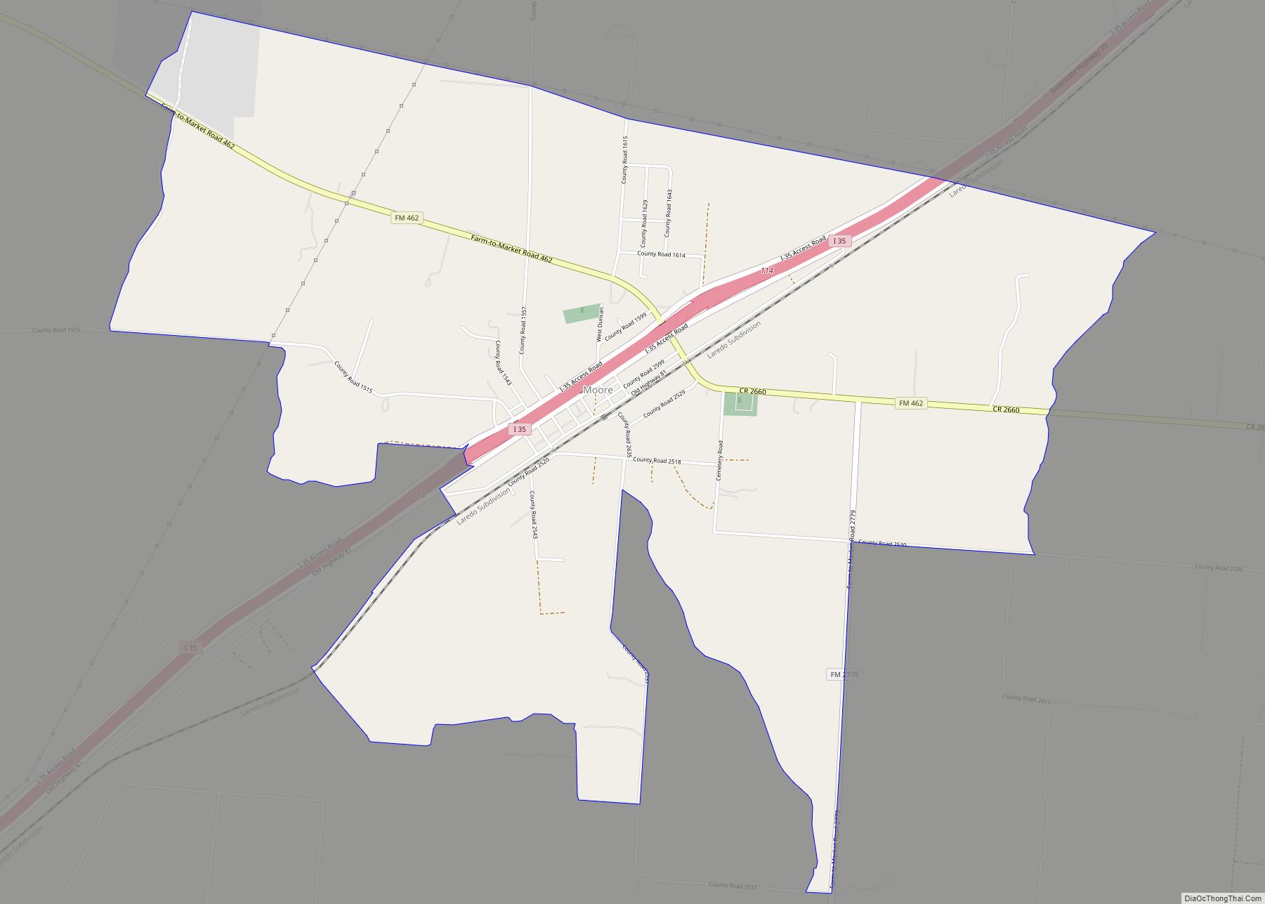
- Interstate 35
- U.S. Highway 57
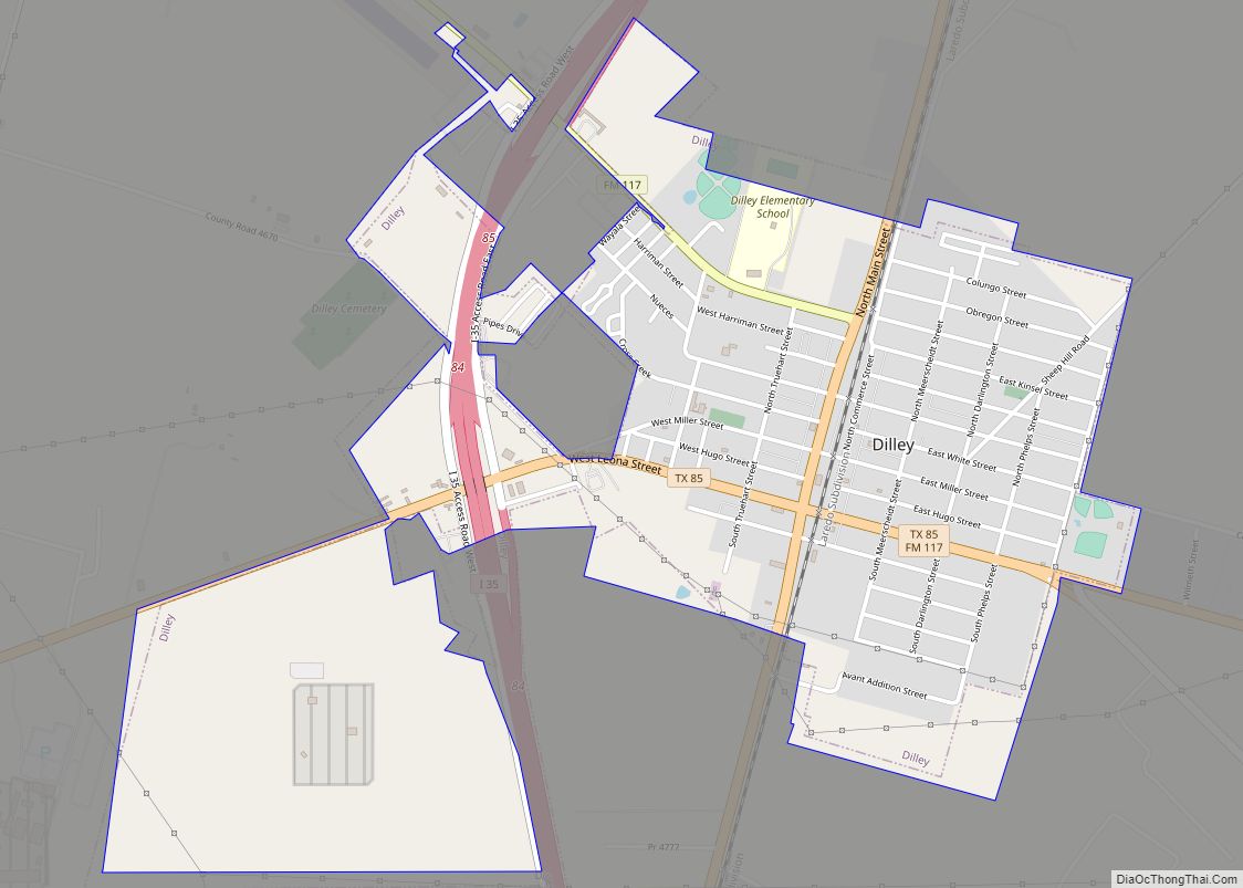
- State Highway 85
- State Highway 173
Adjacent counties
- Medina County (north)
- Atascosa County (east)
- McMullen County (southeast)
- La Salle County (south)
- Dimmit County (southwest)
- Zavala County (west)
- Uvalde County (northwest)
Frio County Topographic Map
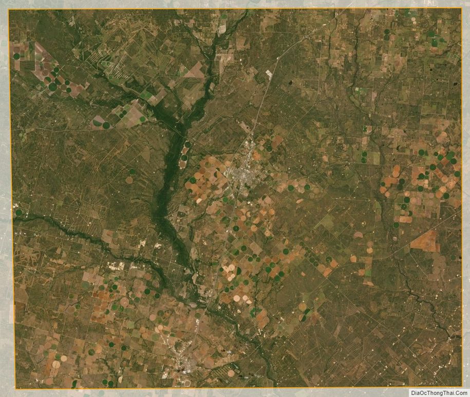
Frio County Satellite Map
Frio County Outline Map