Medina County is a county located in the U.S. state of Texas. As of the 2020 census, its population was 50,748. Its county seat is Hondo. The county is named for the Medina River. The extreme northern part of the county lies within the Edwards Plateau, which elevates into the Texas Hill Country. The Medina Dam, the fourth largest in the nation when completed in 1913, is listed on the National Register of Historic Places. The irrigation project, creating Medina Lake, was built by 1500 skilled workers who worked in shifts operating 24 hours a day to complete the dam in two years. Medina County is part of the San Antonio, TX Metropolitan Statistical Area.
| Name: | Medina County |
|---|---|
| FIPS code: | 48-325 |
| State: | Texas |
| Founded: | 1848 |
| Named for: | Medina River |
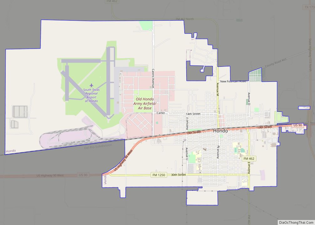
| Seat: | Hondo |
| Largest city: | Hondo |
| Total Area: | 1,335 sq mi (3,460 km²) |
| Land Area: | 1,325 sq mi (3,430 km²) |
| Total Population: | 50,748 |
| Population Density: | 38/sq mi (15/km²) |
| Time zone: | UTC−6 (Central) |
| Summer Time Zone (DST): | UTC−5 (CDT) |
| Website: | www.medinacountytexas.org |
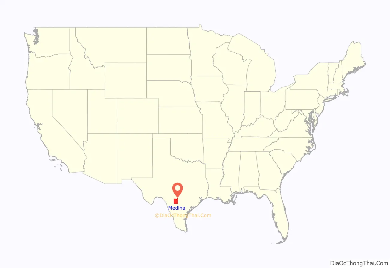
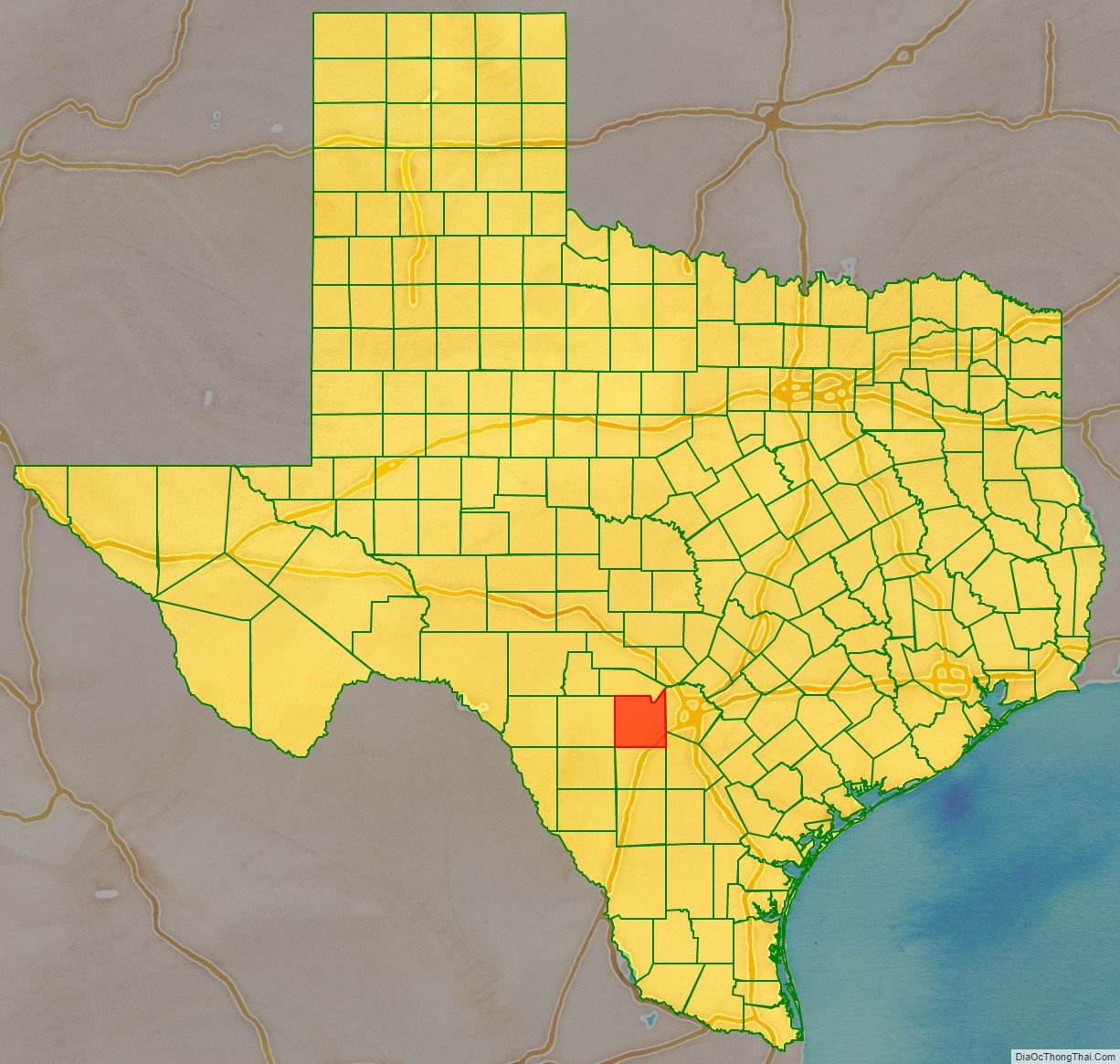
Medina County location map. Where is Medina County?
History
The county is named after the Medina River, which was named in 1689 after the Spanish cartographer Pedro de Medina by the Spanish explorer Alonso de Leon, the first European to encounter the river. Because Pedro de Medina derived his surname from the Andalusian city of Medina-Sidonia, the name Medina comes from the Arabic for city.
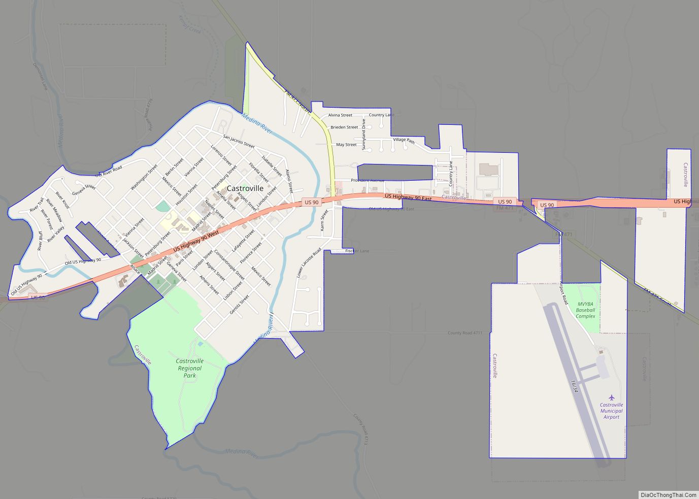
The Texas Legislature formed Medina county on February 12, 1848, and enlarged it on February 1, 1850, using land taken from Bexar County. Castroville was the county seat, and the county erected the first permanent courthouse there in 1854. The county seat moved to Hondo in 1892, and a new courthouse was completed there in 1893.
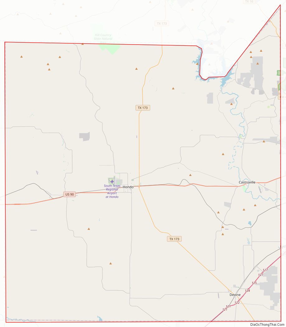
Medina County Road Map
Geography
According to the U.S. Census Bureau, the county has a total area of 1,335 square miles (3,460 km), of which 1,325 square miles (3,430 km) is land and 9.2 square miles (24 km) (0.7%) is water.
Major highways
- Interstate 35
- U.S. Highway 90
- State Highway 16
- State Highway 132
- State Highway 173
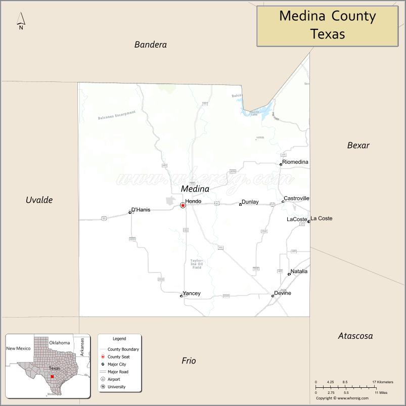
Adjacent counties
- Bandera County (north)
- Bexar County (east)
- Atascosa County (southeast)
- Frio County (south)
- Uvalde County (west)
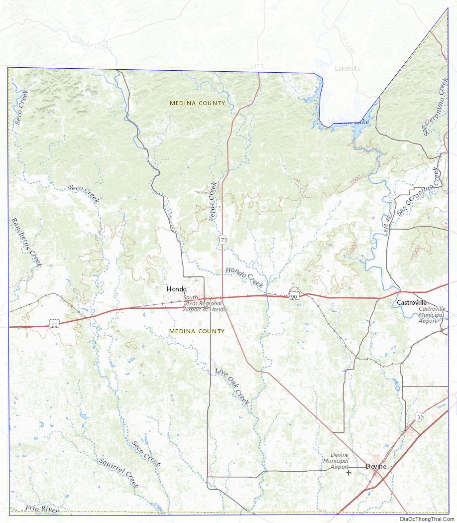
Medina County Topographic Map
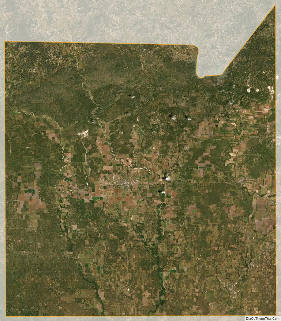
Medina County Satellite Map
Medina County Outline Map