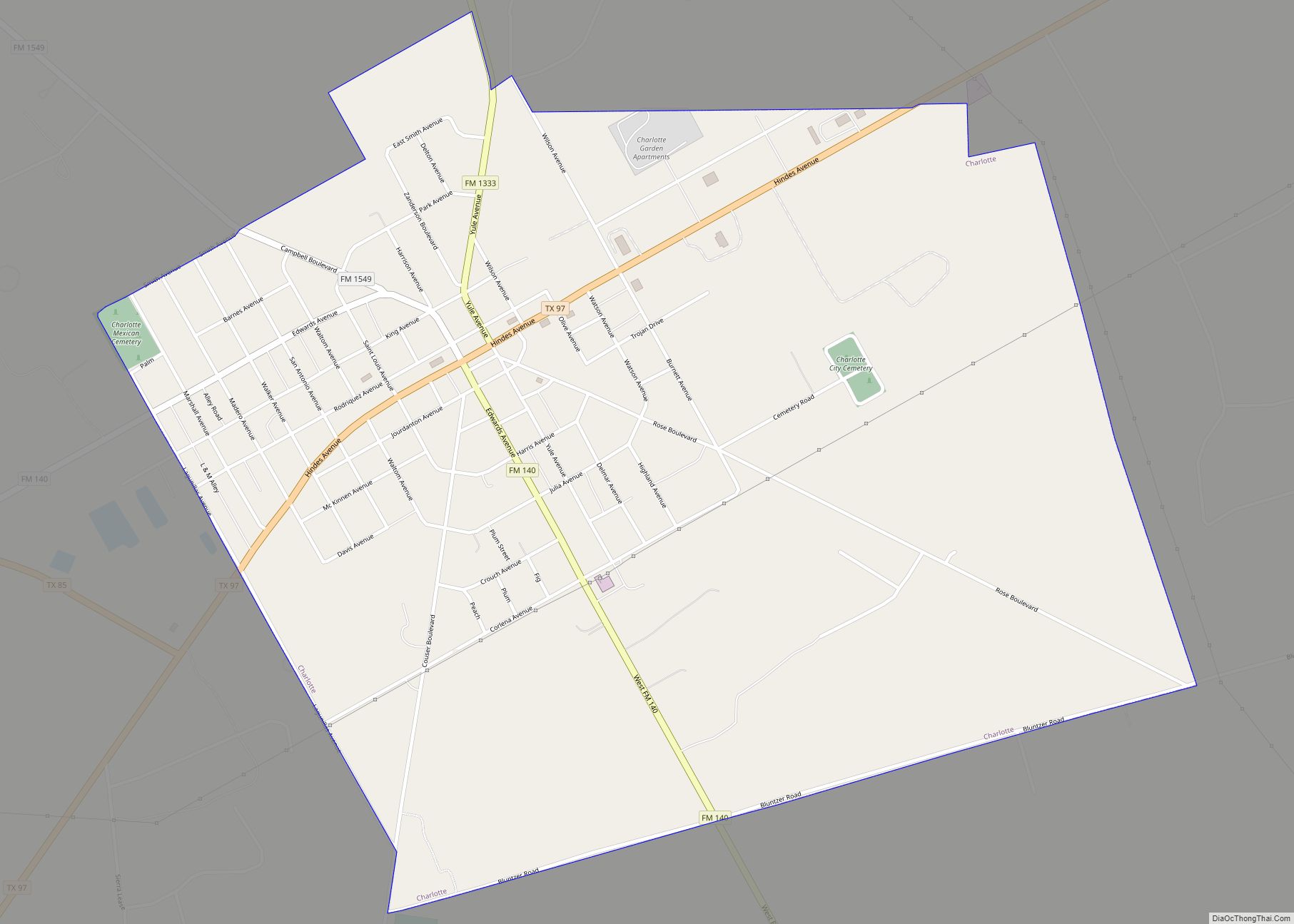
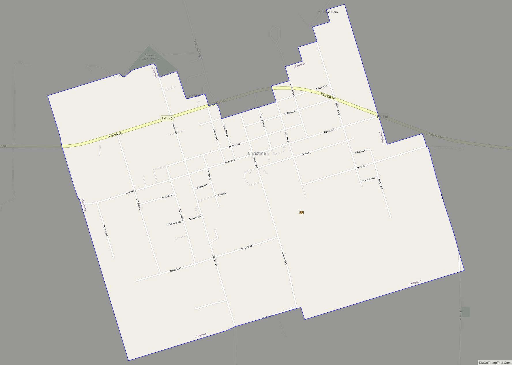
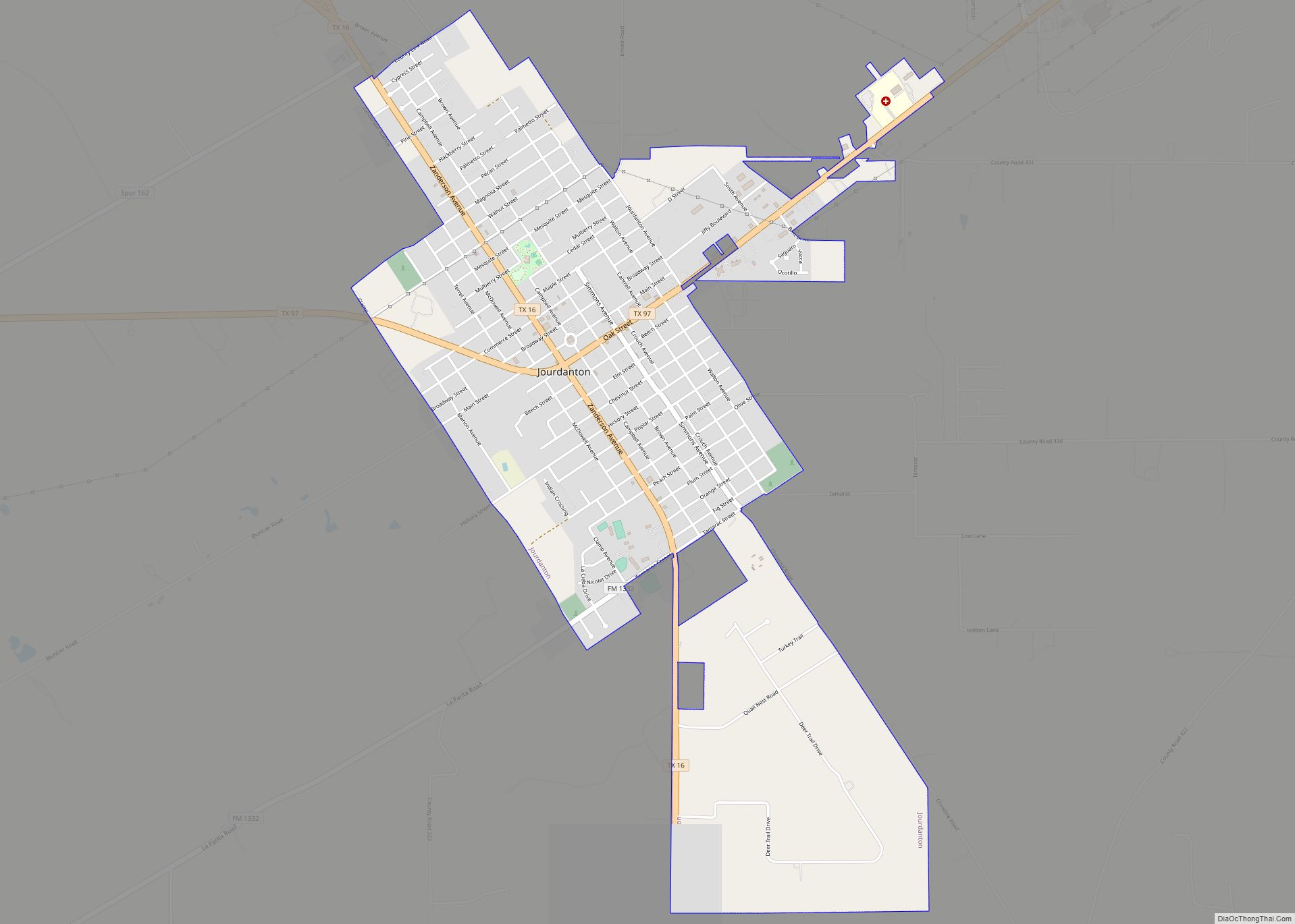
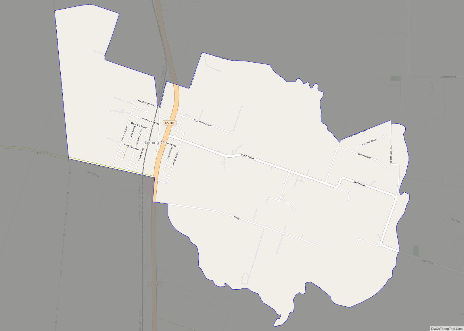
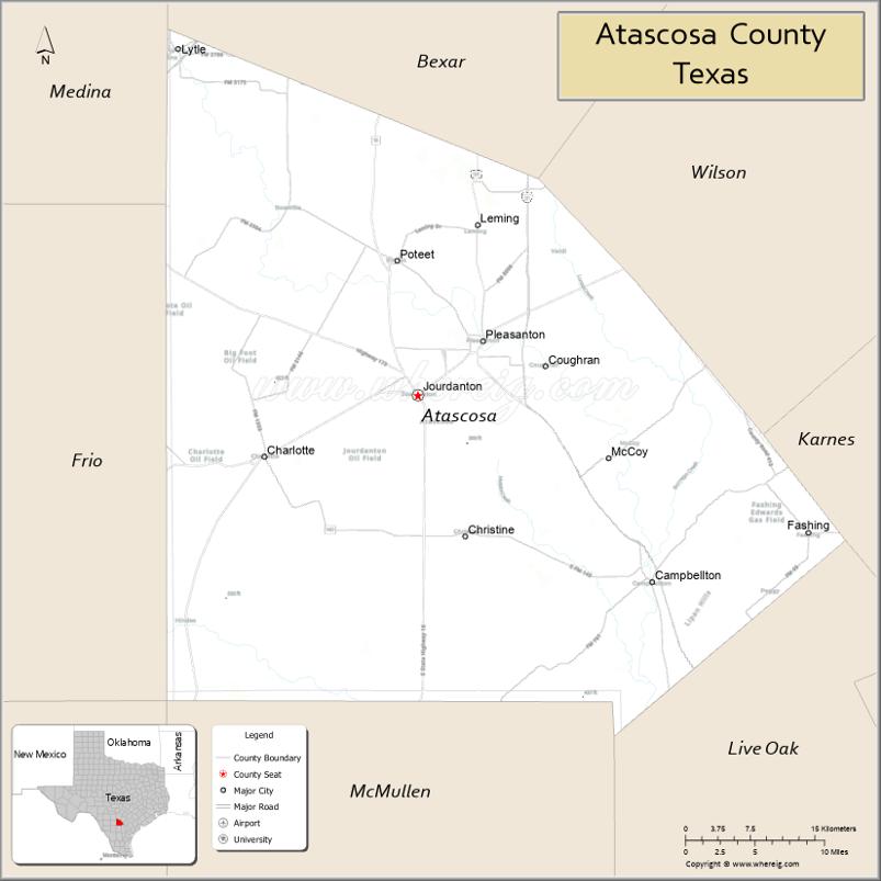
Atascosa County (/ˌætəsˈkoʊsə/ AT-əs-KOH-sə) is a county located in the U.S. state of Texas. It is in South Texas and its county seat is Jourdanton.
As of the 2020 United States Census, its population was 48,981. Atascosa County is part of the San Antonio-New Braunfels metropolitan statistical area.
| Name: | Atascosa County |
|---|---|
| FIPS code: | 48-013 |
| State: | Texas |
| Founded: | 1856 |
| Named for: | Atascosa River |
| Seat: | Jourdanton |
| Largest city: | Pleasanton |
| Total Area: | 1,221 sq mi (3,160 km²) |
| Land Area: | 1,210 sq mi (3,100 km²) |
| Total Population: | 48,981 |
| Population Density: | 40.2/sq mi (15.5/km²) |
| Time zone: | UTC−6 (Central) |
| Summer Time Zone (DST): | UTC−5 (CDT) |
| Website: | atascosacounty.texas.gov |
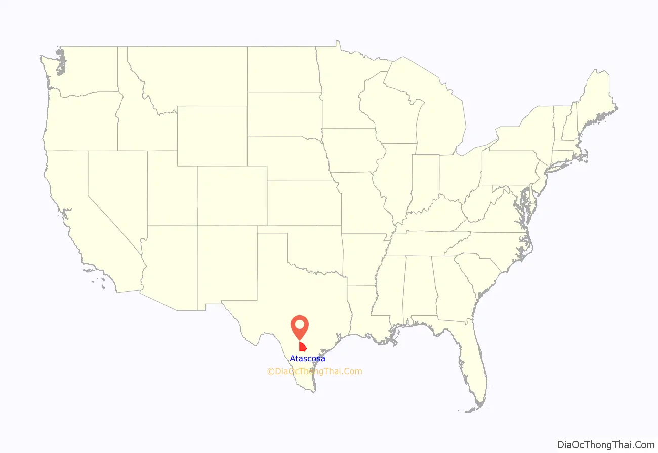
Atascosa County location map. Where is Atascosa County?
History
In 1856, the Texas Legislature established Atascosa County from portions of Bexar County and named it for the Atascosa River.
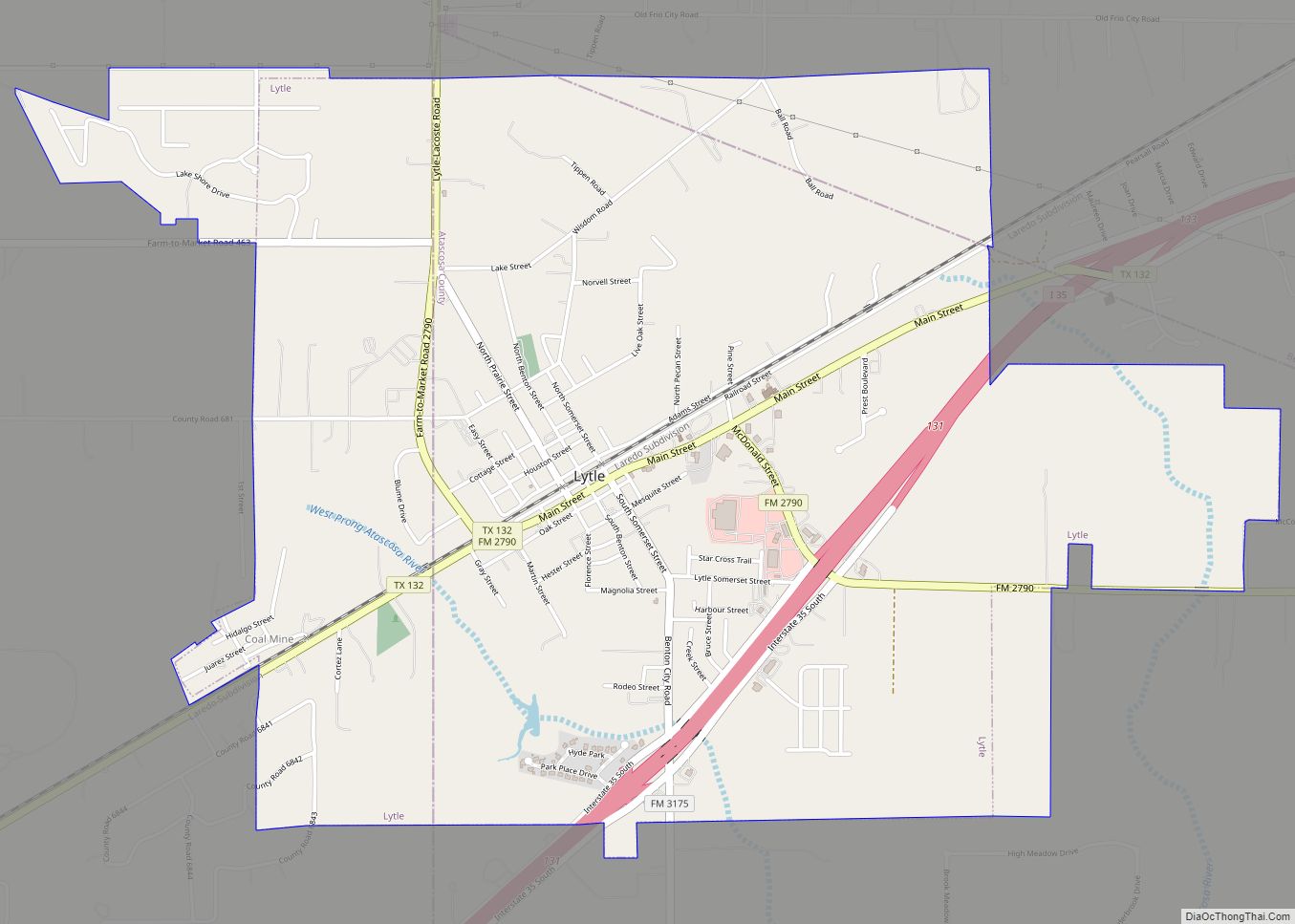
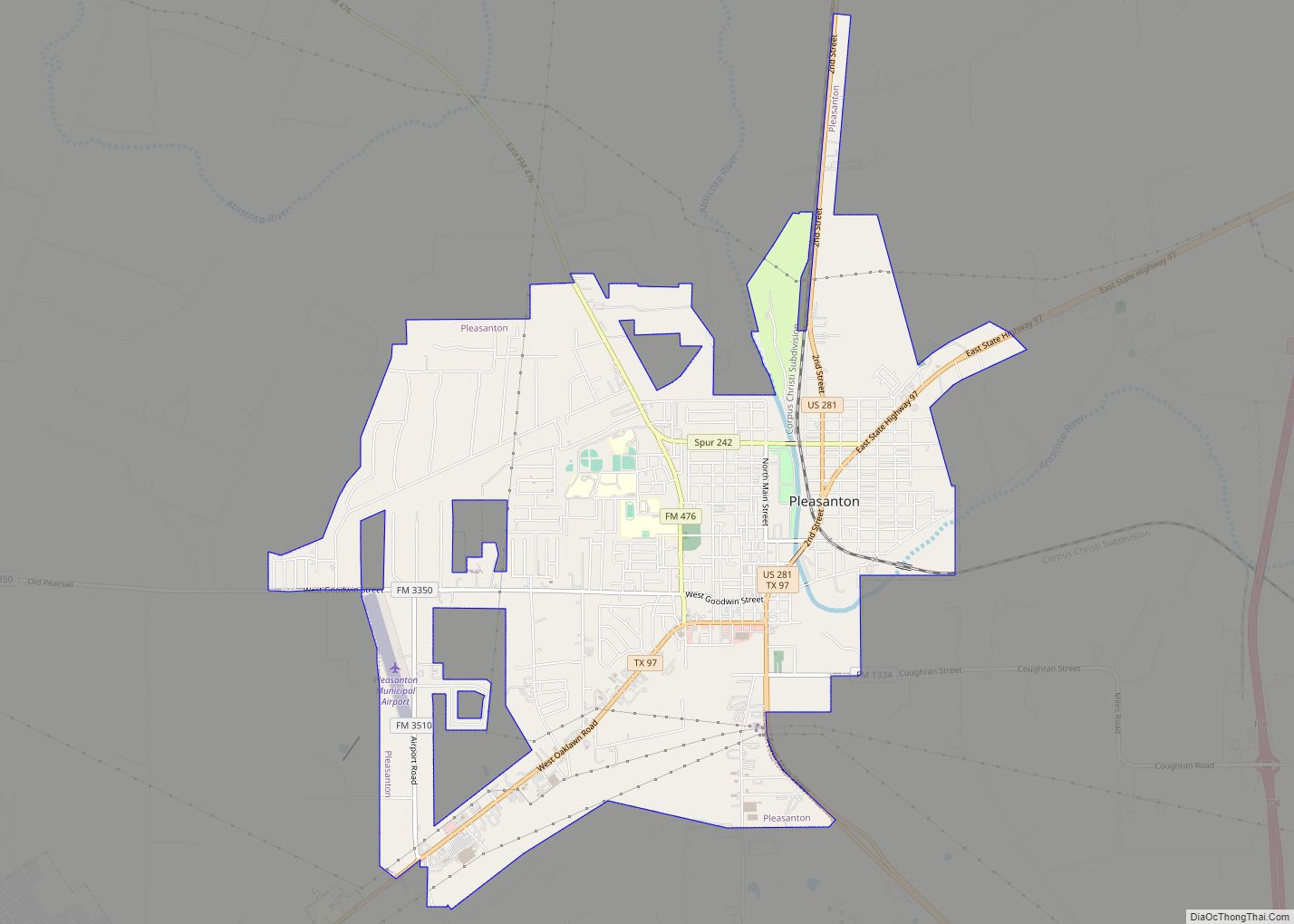
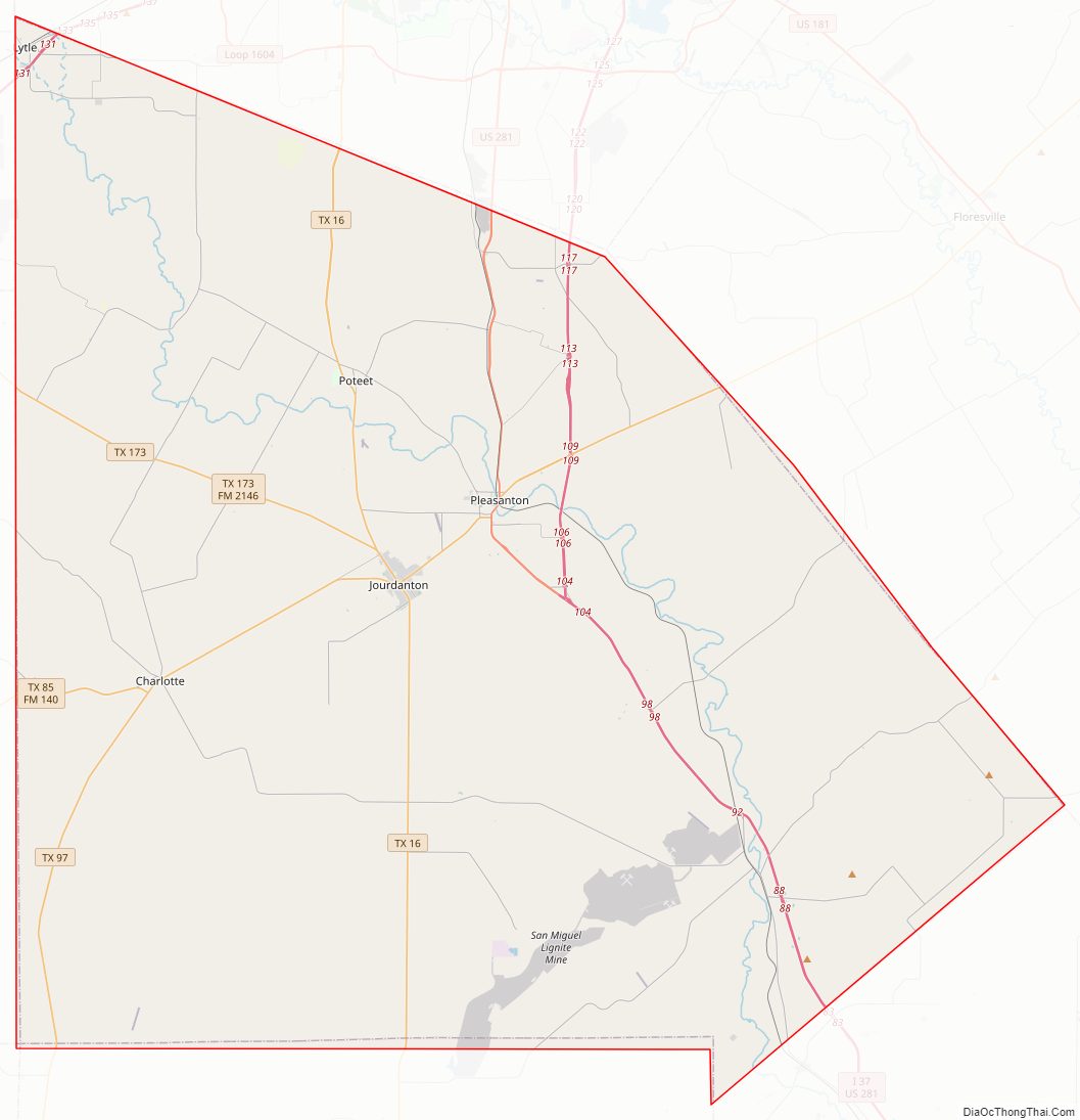
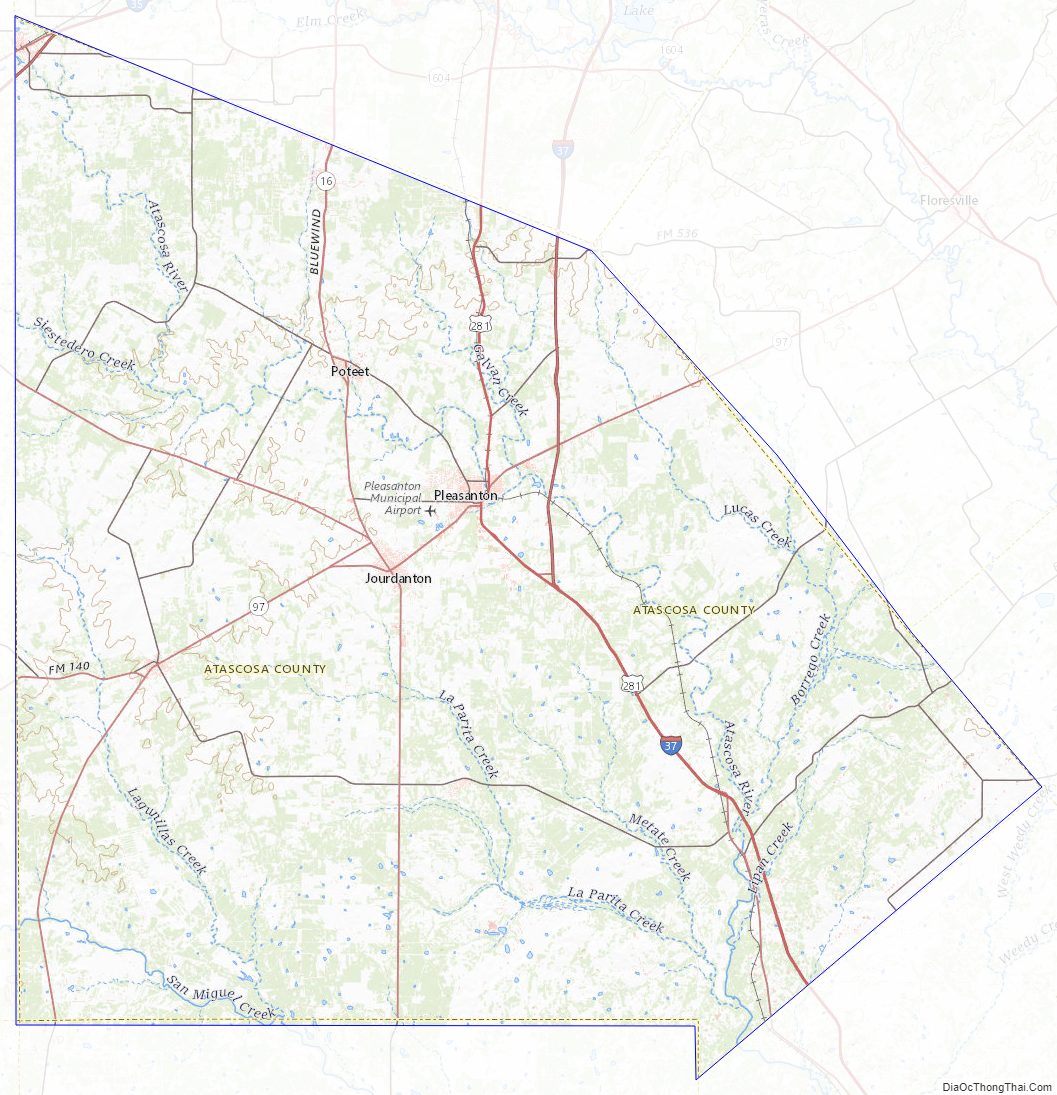
Atascosa County Road Map
Geography
According to the United States Census Bureau, the county has a total area of 1,221 square miles (3,160 km), of which 1.9 square miles (4.9 km) (0.2%) are covered by water.
The county contains rolling hills and knolls, sloped to the southeast. It is drained by the Atascosa River, which exits the county at its southeast corner. The highest point is a localized hill near the northeast border with Bexar County, between Lytle and Somerset in Bexar, at 810 ft (247 m) above sea level.
Major highways
- Interstate 35
- Interstate 37
- U.S. Highway 281
- US 281 Alt.
- State Highway 16
- State Highway 85
- State Highway 97
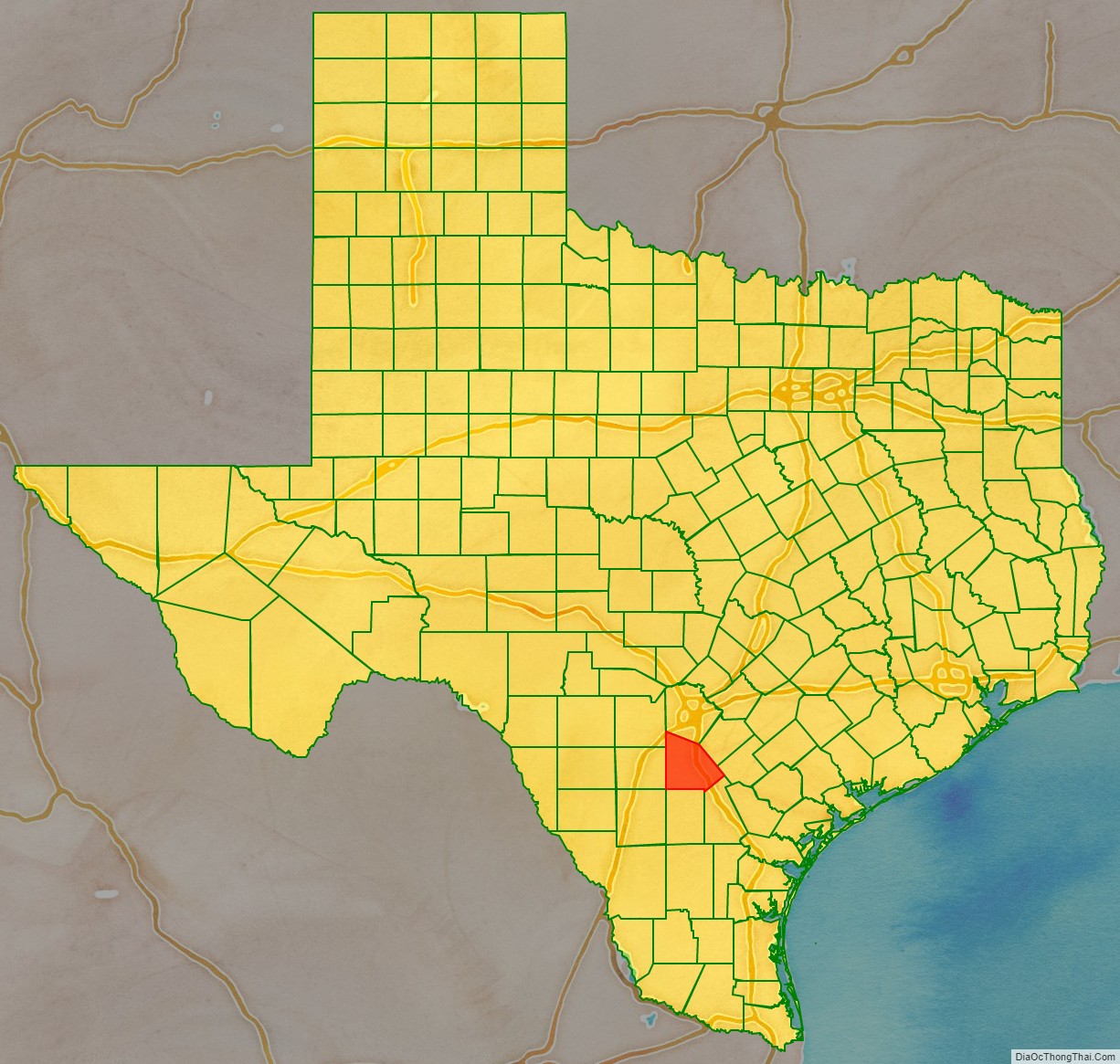
Adjacent counties
- Bexar County – north
- Wilson County – northeast
- Karnes County – east
- Live Oak County – southeast
- McMullen County – south
- La Salle County – southwest
- Frio County – west
- Medina County – northwest
Atascosa County Topographic Map
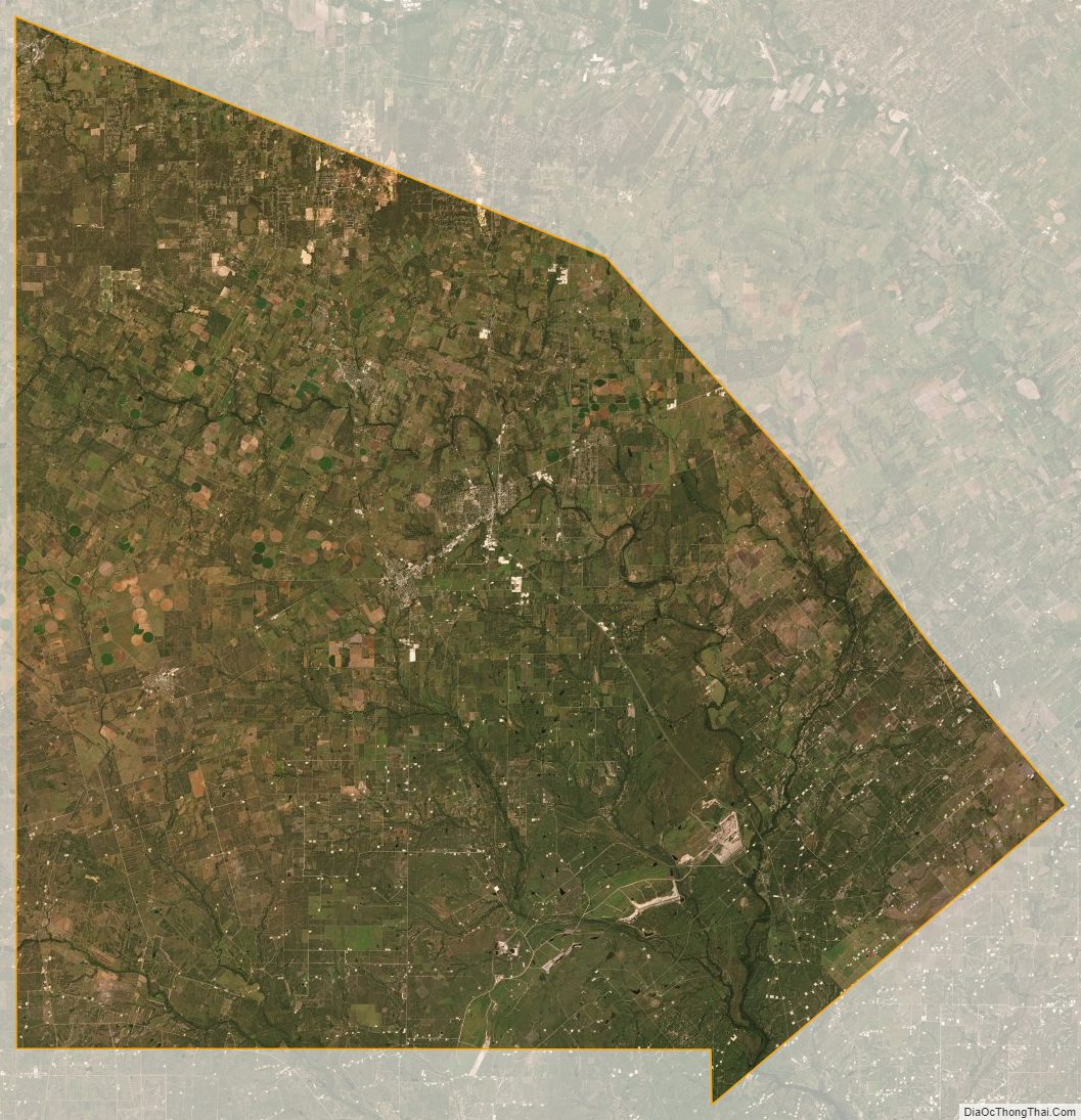
Atascosa County Satellite Map
Atascosa County Outline Map