Galax /ˈɡeɪlæks/ is an independent city in the southwestern part of the Commonwealth of Virginia. As of the 2020 census, the population was 6,720.
The Bureau of Economic Analysis combines the city of Galax with neighboring Carroll County for statistical purposes. Galax is bounded to the northeast by Carroll County and to the southwest by Grayson County.
| Name: | Galax City |
|---|---|
| FIPS code: | 51-640 |
| State: | Virginia |
| Total Area: | 8.28 sq mi (21.44 km²) |
| Land Area: | 8.24 sq mi (21.33 km²) |
| Total Population: | 6,720 |
| Population Density: | 810/sq mi (310/km²) |
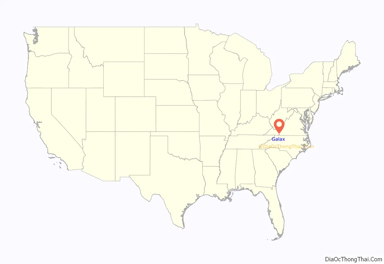
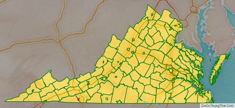
Galax City location map. Where is Galax City?
History
The area that later became Galax was part of an 800-acre (320 ha) land grant given to James Buchanan in 1756 by the British Crown. The first plat map for Galax is dated December 1903; The town founders selected the site for the city on a wide expanse of meadowland bisected by Chestnut Creek and sitting at an altitude of 2,500 feet on a plateau. The Virginia General Assembly officially chartered the town of Galax in 1906.
The town is named for Galax urceolata, an evergreen groundcover plant found throughout the Blue Ridge Mountains. At the time, the plant was gathered and sold by many people in southwestern Virginia and northwestern North Carolina as an ornamental plant; a Norfolk and Western Railway Company official suggested that the town be named for the plant. The first Galax Agricultural Fair took place in September 1908, when Galax had 600 residents.
In the past, Galax was an industrial town; by the 1960s, Galax was home to six furniture factories, a mirror factory, at least four textile companies, two large department stores, a lumber company, Carnation Milk, Coca-Cola Bottling Company, and Clover Creamery.
The Town of Galax was separated from Carroll and Grayson counties and became an independent city on December 6, 1953.
In the 2000s, Galax and other small neighboring communities in southwestern Virginia joined with private businesses to create the Wired Road Authority, a public-private partnership that in 2009 created open-access, integrated regional broadband network with 100-megabit connections and in 2013 created gigabit connections. This was part of an economic-development effort.
The Old Grayson County Courthouse and Clerk’s Office, Dr. Virgil Cox House, Gordon C. Felts House, Galax Commercial Historic District and A. G. Pless Jr. House are listed on the National Register of Historic Places.
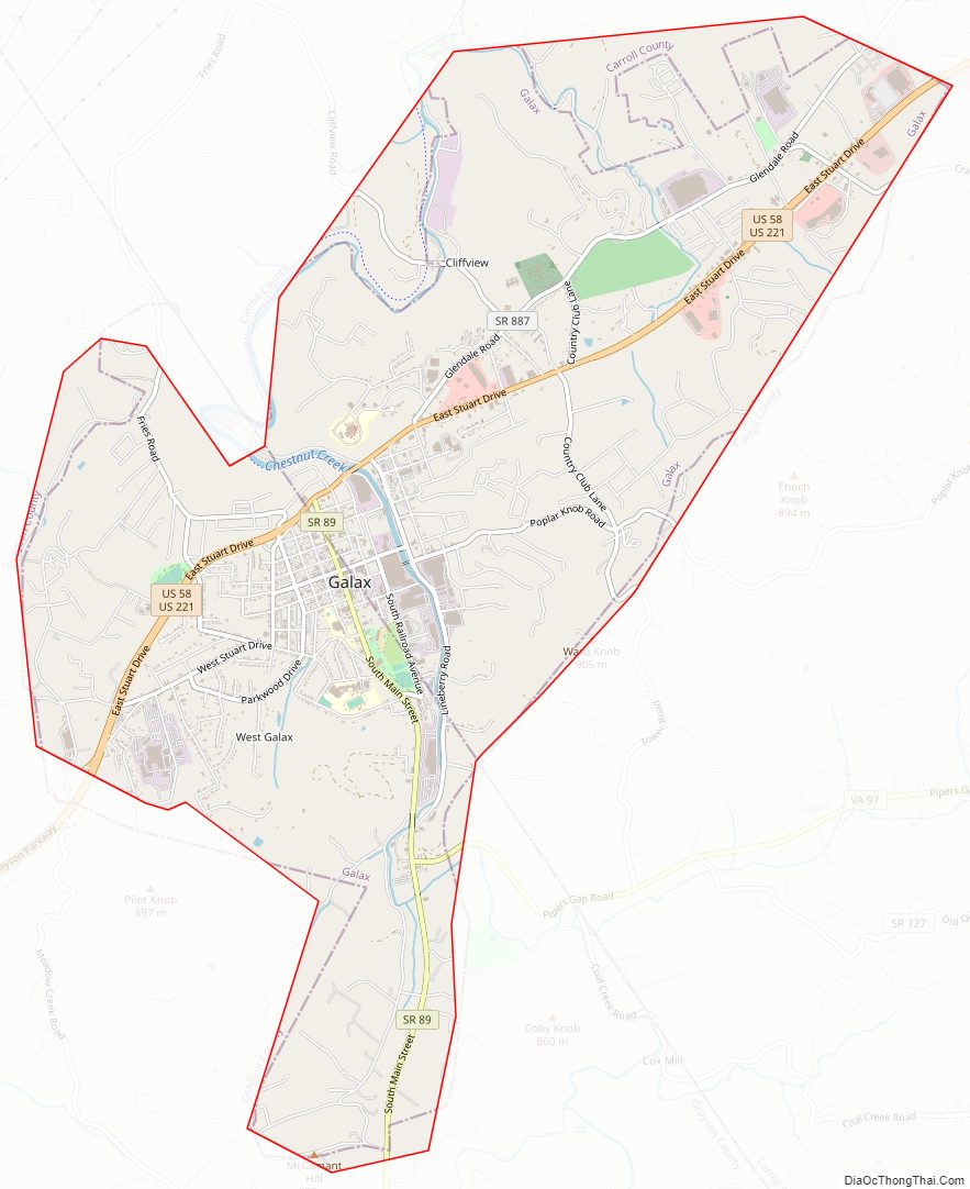
Galax City Road Map
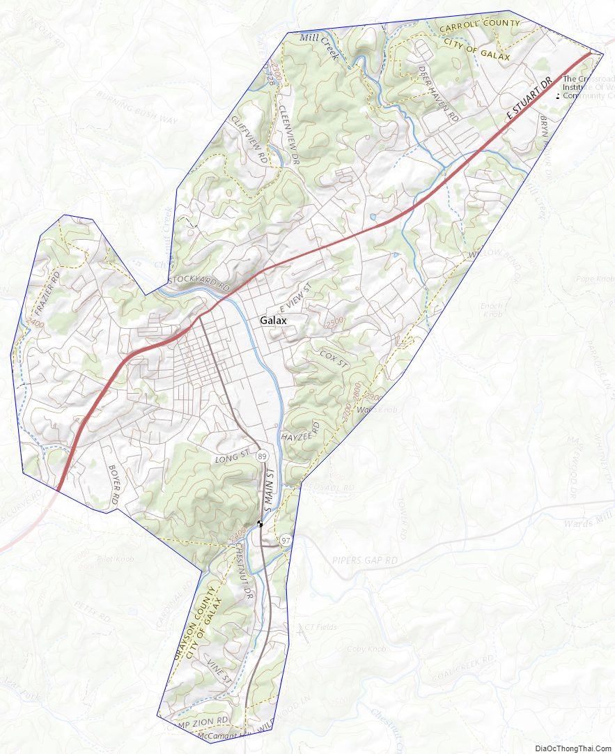
Geography
Galax is located at 36°39′52″N 80°55′12″W / 36.66444°N 80.92000°W / 36.66444; -80.92000 (36.664675, −80.920275).
According to the United States Census Bureau, the city has a total area of 8.3 square miles (21 km), virtually all of which is land.
The city is located 54.16 northwest of Winston-Salem, North Carolina and 68.69 miles southwest of Roanoke, Virginia.
Galax City Topographic Map
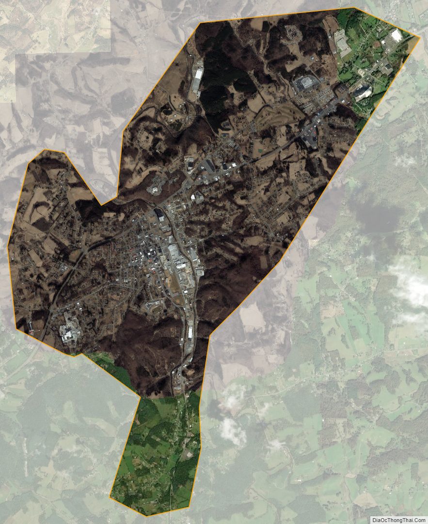
Galax City Satellite Map
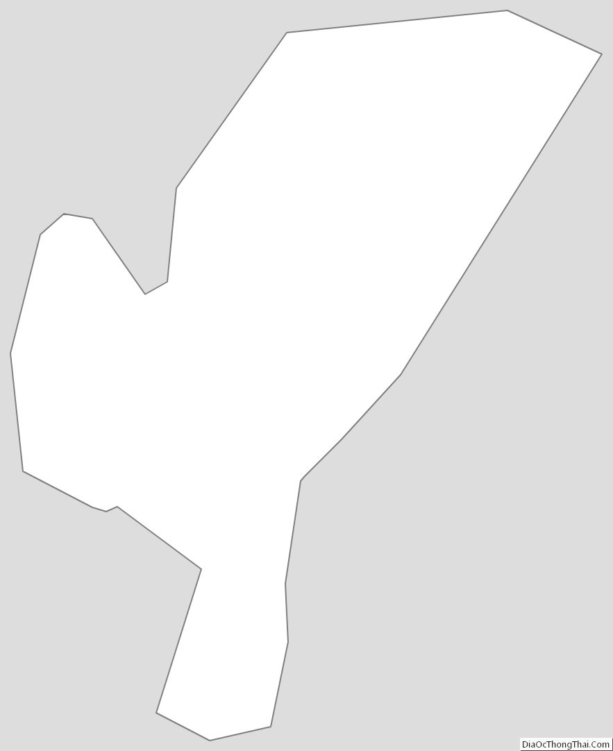
Galax City Outline Map