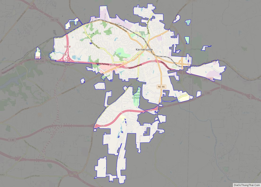
Winston-Salem is a city in and the county seat of Forsyth County, North Carolina, United States. In the 2020 census, the population was 249,545, making it the second-largest municipality in the Piedmont Triad region, the fifth-most-populous city in North Carolina, the third-largest urban area in North Carolina, and the 90th-most-populous city in the United States. With a metropolitan population of 675,966, it is the fourth-largest metropolitan area in North Carolina. Winston-Salem is home to the tallest office building in the region, 100 North Main Street, formerly known as the Wachovia Building and now known locally as the Wells Fargo Center.
In 2003, the Greensboro–Winston-Salem–High Point Metropolitan Statistical Area was redefined by the OMB and separated into the two major metropolitan areas of Winston-Salem and Greensboro-High Point. The population of the Winston-Salem metropolitan area in 2020 was 679,948. The metro area covers over 2,000 square miles and spans the five counties of Forsyth, Davidson, Stokes, Davie, and Yadkin.
Winston-Salem is called the “Twin City” for its dual heritage, and “the Camel City” is a reference to the city’s historic involvement in the tobacco industry related to locally based R. J. Reynolds’ Camel cigarettes. Many natives of the city and North Carolina refer to the city as “Winston” in informal speech. Winston-Salem is also home to six colleges and institutions, most notably Wake Forest University, Winston-Salem State University, and the University of North Carolina School of the Arts, which ranks as one of the best arts schools in America. In 2021, the city ranked 46th out of 150 cities on the “Best Places to Live” list from U.S. News & World Report. In April 2021, a study from Lendingtree’s Magnify Money blog ranked Winston-Salem the second-best tech market for women.
| Name: | Winston-Salem city |
|---|---|
| LSAD Code: | 25 |
| LSAD Description: | city (suffix) |
| State: | North Carolina |
| County: | Forsyth County |
| Founded: | 1766 (Salem), 1849 (Winston) |
| Elevation: | 970 ft (300 m) |
| Land Area: | 133.53 sq mi (345.84 km²) |
| Water Area: | 1.21 sq mi (3.14 km²) |
| Population Density: | 1,868.82/sq mi (721.55/km²) |
| ZIP code: | 27023, 27040, 27045, 27101-27110, 27113-27117, 27120, 27127, 27130, 27150, 27152, 27155, 27157, 27198-27199, 27284 |
| Area code: | 336, 743 |
| FIPS code: | 3775000 |
| Website: | www.cityofws.org |
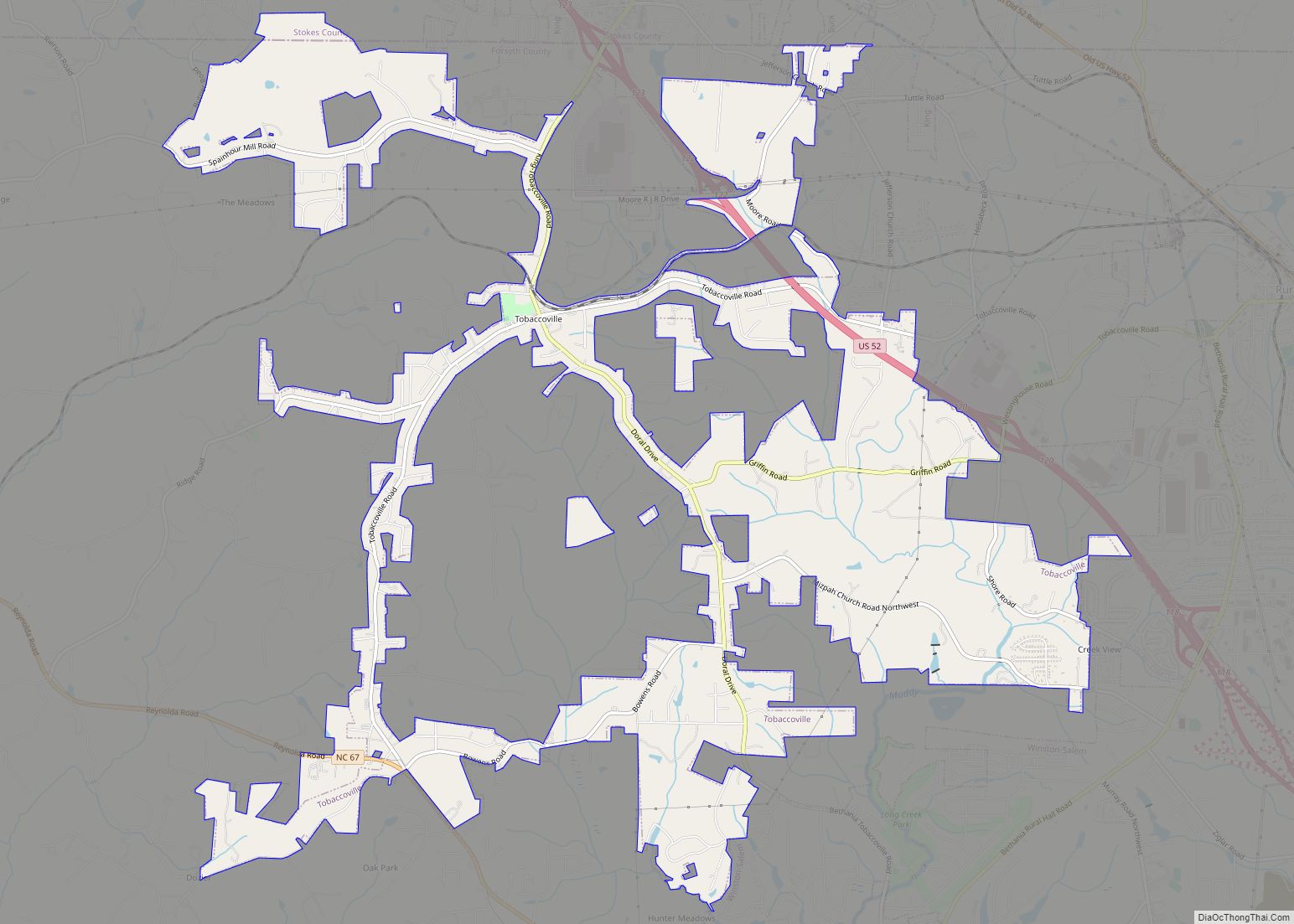
Online Interactive Map
Click on ![]() to view map in "full screen" mode.
to view map in "full screen" mode.
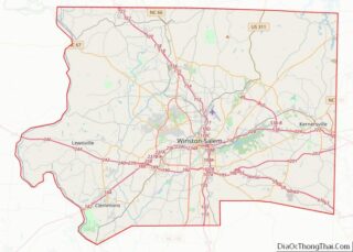
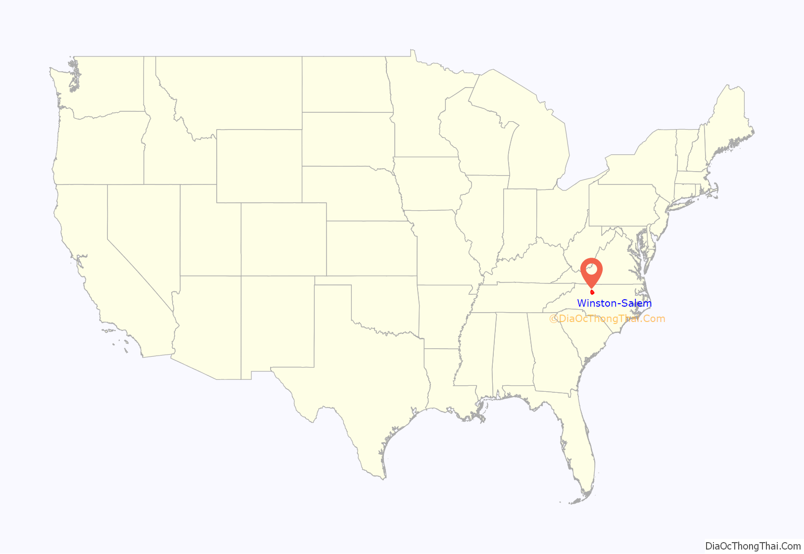
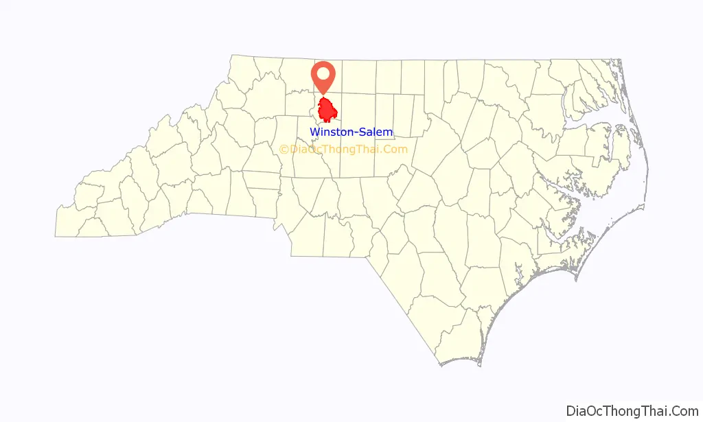
Winston-Salem location map. Where is Winston-Salem city?
History
Siouan-speaking tribes such as the Cheraw and the Keyauwee Indians inhabited the area. Followers of the Moravian Church had interacted with Cherokees. The city of Winston-Salem is a product of the merging of the two neighboring towns of Winston and Salem in 1913.
Salem
The origin of the town of Salem dates to 1753, when Bishop August Gottlieb Spangenberg, on behalf of the Moravian Church, selected a settlement site in the three forks of Muddy Creek. He called this area “die Wachau” (Latin form: Wachovia) after the ancestral estate of Count Nicolaus Ludwig von Zinzendorf. The land, just short of 99,000 acres (400 km), was subsequently purchased from John Carteret, 2nd Earl Granville.
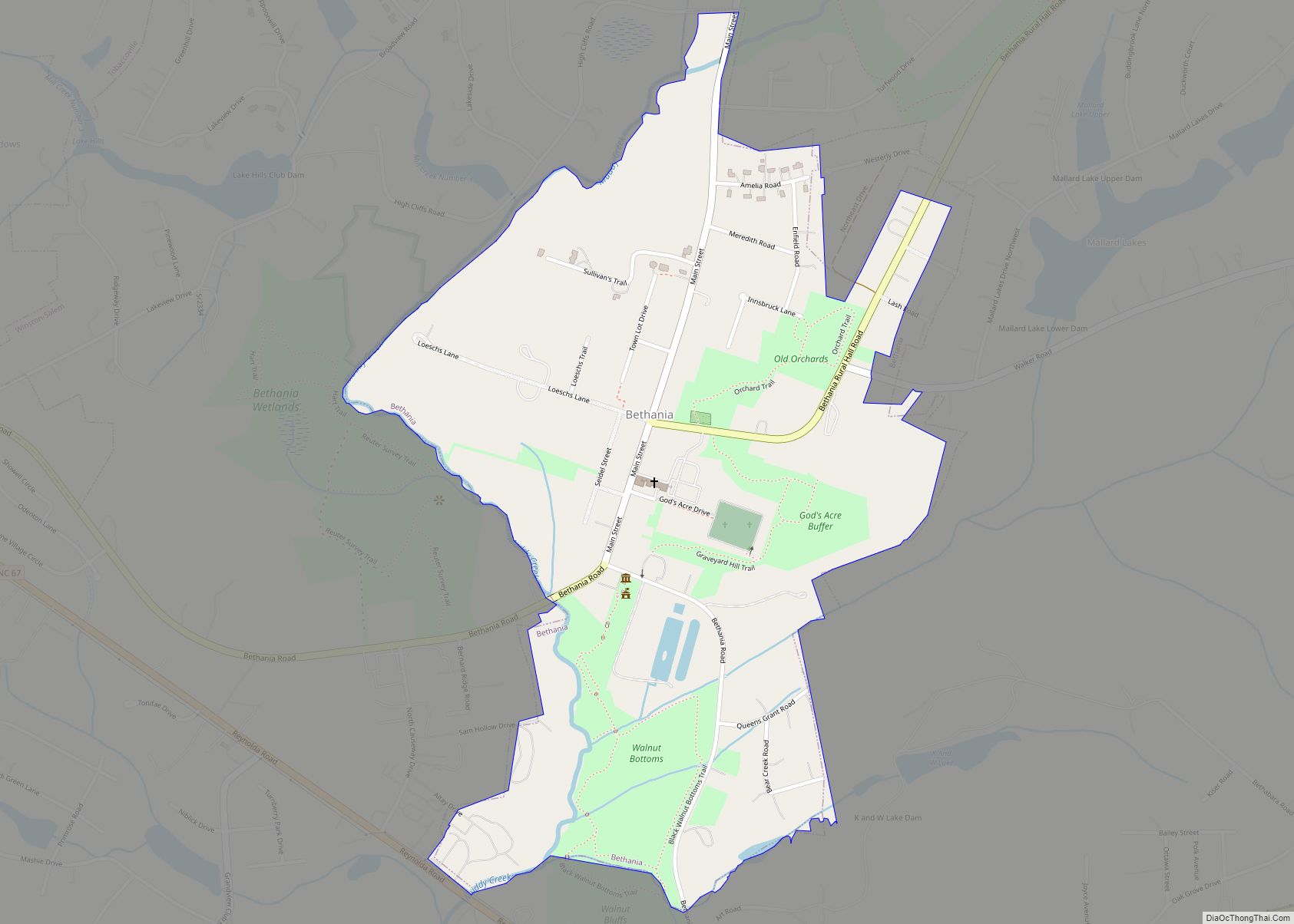
On November 17, 1753, the first settlers arrived at what would later become the town of Bethabara. This town, despite its rapid growth, was not designed to be the primary settlement on the tract. Some residents expanded to a nearby settlement called Bethania in 1759. Finally, lots were drawn to select among suitable sites for the location of a new town.
The town established on the chosen site was given the name of Salem (from “Shalom”, meaning “Peace”, after the Canaanite city mentioned in the Book of Genesis) chosen for it by the Moravians’ late patron, Count Zinzendorf. On January 6, 1766, the first tree was felled for the building of Salem. Salem was a typical Moravian settlement congregation with the public buildings of the congregation grouped around a central square, today Salem Square. These included the church, a Brethren’s House and a Sisters’ House for the unmarried members of the Congregation, which owned all the property in town. For many years only members of the Moravian Church were permitted to live in the settlement. This practice had ended by the American Civil War. Many of the original buildings in the settlement have been restored or rebuilt and are now part of Old Salem Museums & Gardens.
Salem was incorporated as a town in December 1856. Salem Square and “God’s Acre”, the Moravian Graveyard, since 1772 are the site each Easter morning of the Moravian sunrise service. This service, sponsored by all the Moravian church parishes in the city, attracts thousands of worshipers each year.
Winston
In 1849, the Salem Congregation sold land north of Salem to the newly formed Forsyth County for a county seat. The new town was called “the county town” or Salem until 1851, when it was renamed Winston for a local hero of the Revolutionary War, Joseph Winston. For its first two decades, Winston was a sleepy county town. In 1868, work began by Salem and Winston business leaders to connect the town to the North Carolina Railroad. By the 1880s, there were many different tobacco factories in the town with notable factories owned by Pleasant Hanes and R.J. Reynolds. Pleasant Hanes would later go on to found Hanes (formally called Shamrock Knitting Mills) in 1900.
Winston-Salem
In the 1880s, the US Post Office began referring to the two towns as Winston-Salem. In 1899, after nearly a decade of contention, the United States Post Office Department established the Winston-Salem post office in Winston, with the former Salem office serving as a branch. After a referendum the towns were officially incorporated as “Winston-Salem” in 1913. Robert Gray was the first to mention the two towns as one as a featured speaker at the 1876 centennial celebration.
The Reynolds family, namesake of the R. J. Reynolds Tobacco Company, played a large role in the history and public life of Winston-Salem. By the 1940s, 60% of Winston-Salem workers worked either for Reynolds or in the Hanes textile factories. The Reynolds company imported so much French cigarette paper and Turkish tobacco for Camel cigarettes that Winston-Salem was designated by the United States federal government as an official port of entry for the United States, despite the city being 200 miles (320 km) inland. Winston-Salem was the eighth-largest port of entry in the United States by 1916.
In 1917, the Reynolds company bought 84 acres (340,000 m) of property in Winston-Salem and built 180 houses that it sold at cost to workers, to form a development called “Reynoldstown.” By the time R.J. Reynolds died in 1918, his company owned 121 buildings in Winston-Salem.
In 1920, with a population of 48,395, Winston-Salem was the largest city in North Carolina.
In 1929, the Reynolds Building was completed in Winston-Salem. Designed by William F. Lamb from the architectural firm Shreve, Lamb and Harmon, the Reynolds Building is a 314 feet (96 m) skyscraper that has 21 floors. When completed as the headquarters of R.J. Reynolds Tobacco Company, it was the tallest building in the United States south of Baltimore, Maryland, and it was named the best building of the year by the American Institute of Architects. The building is well known for being the predecessor and prototype for the much larger Empire State Building that was built in 1931 in New York City. In 1892, Simon Green Atkins founded Slater Industrial Academy, which later became Winston-Salem State University, a public HBCU University. In 1956, Wake Forest College, now known as Wake Forest University would move to Winston-Salem from its original location in Wake Forest, North Carolina.
Notable early businesses
- In 1799, the Winkler Bakery, famous for its Moravian cookies, was commissioned, and in 1807, the congregation brought in Christian Winkler of Pennsylvania to operate the bakery; his family owned and operated the business until 1929. It continues to operate today as part of Old Salem.
- In 1875, R J Reynolds founded R. J. Reynolds Tobacco Company later famous for branded products such as Prince Albert pipe tobacco (1907) and Camel cigarettes (1913). Other brands which it made famous are Winston, Salem, Doral, and Eclipse cigarettes. The Winston-Salem area is still the primary international manufacturing center for Reynolds brands of cigarettes, although employment is down from its peak of nearly 30,000 to under 3,000.
- In 1901, J. Wesley Hanes’s Shamrock Hosiery Mills in Winston-Salem began making men’s socks. Shortly afterward, his brother Pleasant Henderson Hanes founded the P.H. Hanes Knitting Company, which manufactured men’s underwear. The two firms eventually merged to become the Hanes Corporation, now known as Hanesbrands, innovators in the textile industry.
- In 1906, the Bennett Bottling Company produced Bennett’s Cola, a “Fine Carbonic Drink.” The name was changed to Winston-Salem Bottling Works in 1915.
- In 1911, Wachovia Bank and Trust was formed by the merger of Wachovia National Bank (founded in 1879 by James Alexander Gray and William Lemly) and Wachovia Loan and Trust (founded 1893). The company was purchased by First Union in 2001, which changed its name to Wachovia. Wachovia was purchased by Wells Fargo in 2009, and the Wachovia name was retired in 2011.
- In 1928, Miller’s Clothing Store was opened by Mrs. Henry Miller. Miller’s Variety Store operated at the same location at 622 North Trade Street until closing at the end of 2016. Miller’s was the first store in Winston-Salem to offer bell-bottoms in the area in the 1960s. Millers was listed by Playboy magazine in 1968 as a popular place to shop.
- In 1929, the local T.W. Garner Foods introduced Texas Pete, a popular hot sauce.
- In 1929 Quality Oil Company was organized in December 1929, initially to launch a distributorship for the then little known Shell Oil Company.
- In 1934, Malcolm Purcell McLean formed McLean Trucking Co. The firm benefited from the tobacco and textile industry headquartered in Winston-Salem, and became the second largest trucking firm in the nation.
- In 1937, Krispy Kreme opened its first doughnut shop on South Main Street.
- In 1945 Piedmont Bible College opened (now Carolina University).
- In 1948, Piedmont Airlines was formed out of the old Camel City Flying Service. The airline was based at Smith Reynolds Airport in Winston-Salem but marked its first commercial flight out of Wilmington, North Carolina on February 20, 1948. Piedmont grew to become one of the top airlines in the country before its purchase by USAir (later US Airways, merged with American Airlines in 2015) in 1987. American Airlines maintains a reservation center in the old Piedmont Reservations office.
Winston-Salem Road Map
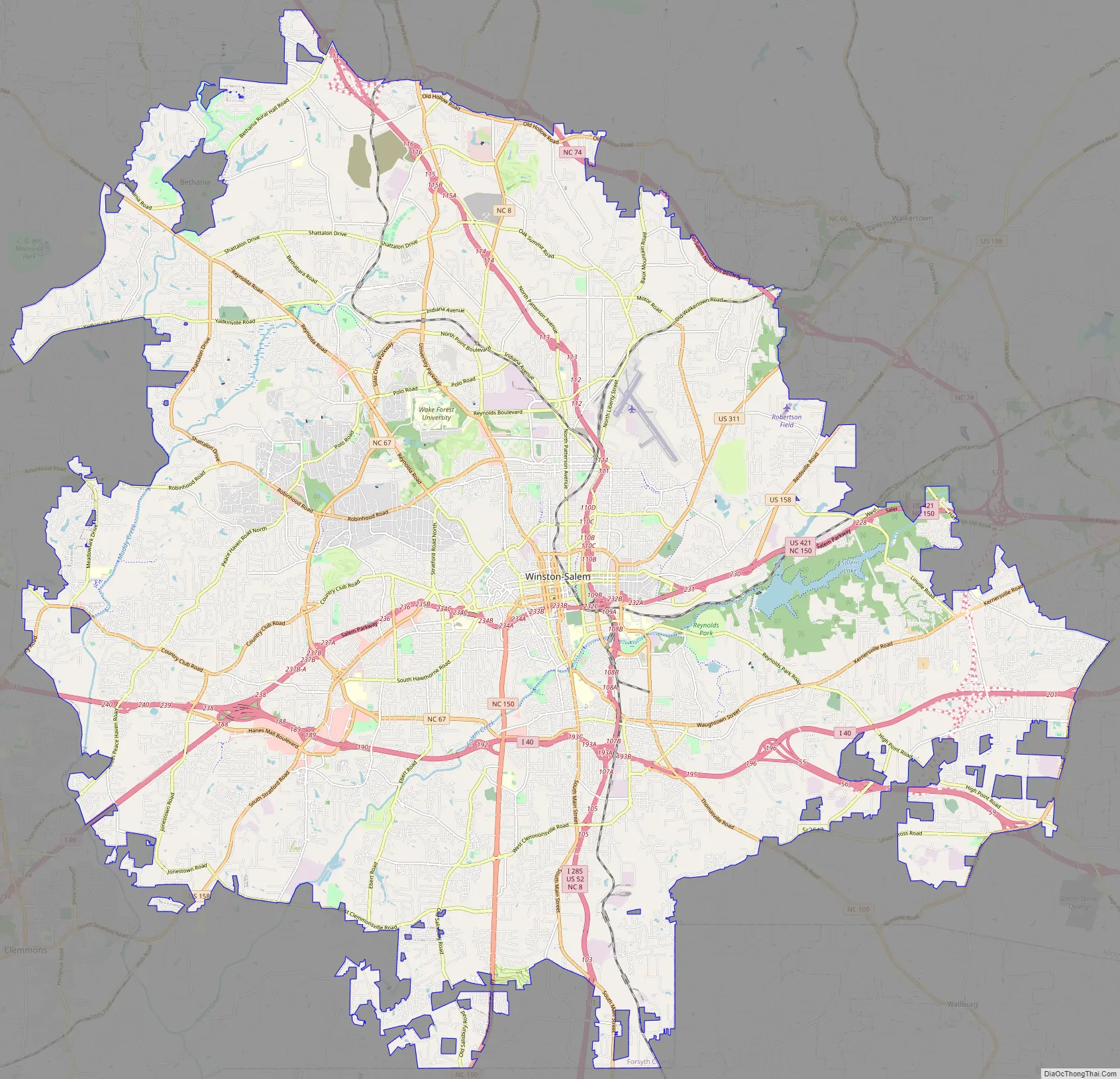
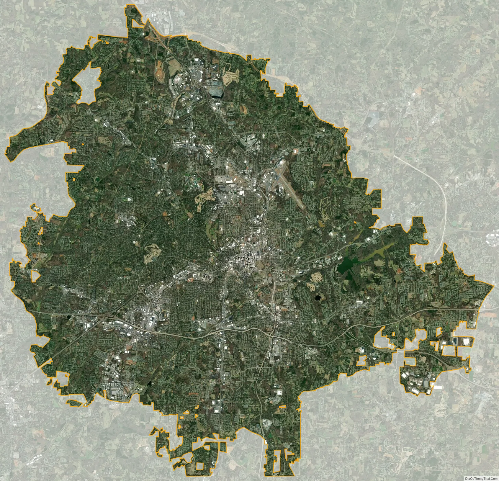
Winston-Salem city Satellite Map
Geography
Winston-Salem is in the northwest Piedmont area of North Carolina, situated 65 miles (105 km) northwest of the geographic center of the state. According to the United States Census Bureau, the city has a total area of 133.7 square miles (346.3 km), of which 132.4 square miles (343.0 km) is land and 1.2 square miles (3.2 km), or 0.93%, is water. The city lies within the Yadkin–Pee Dee River Basin, mainly draining via Salem Creek, Peters Creek, Silas Creek, and Muddy Creek.
Less than 30 miles (48 km) north of Winston-Salem are the remains of the ancient Sauratown Mountains, named for the Saura people who lived in much of the Piedmont area, including what is now Winston-Salem.
Winston-Salem is located 16.66 miles northwest of High Point, 25.32 miles west of Greensboro, and 69.04 miles northeast of Charlotte.
Neighborhoods and areas
The City of Winston-Salem consists of 66 constituent neighborhoods and covers 25 zip codes and a total area of 134.74 square miles. Winston-Salem is the 72nd largest city by area in the United States and the fourth-largest community in North Carolina.
Downtown, the central business district of Winston-Salem, is the largest in the Piedmont Triad region. With a population of approximately 14,000 and a workforce of over 27,000, downtown Winston-Salem is a hotspot for growth. Fourth Street, the “main drag” consists of bars, restaurants, retail, hotels, and luxury residential units. The area is surrounded by Northwest Boulevard to the north and west, Salem Parkway to the south, U.S. Route 52 to the east. Downtown features major attractions such as Innovation Quarter, Truist Stadium, Old Salem and Benton Convention Center.
One of the most notable neighborhoods in the city, West End, features the West End Historic District which covers an area of 229 acres and predominantly residential. Most of the buildings in West End were built between 1887 and 1930. Major thoroughfares in West End are West End Boulevard, Northwest Boulevard, and First Street that all lead to downtown Winston-Salem. The neighborhood offers an urban lifestyle with shops, parks, restaurants, and services all being located within the area.
Ardmore, one of the largest neighborhoods in Winston-Salem features Ardmore Historic District which contains over 2,000 buildings and two sites. Ardmore is near Wake Forest Baptist Medical Center which is the second largest hospital in North Carolina. Wake Forest Baptist Health is the largest employer in Forsyth County with over 13,000 employees and serves North Carolina, Virginia, Tennessee, and South Carolina. Major thoroughfares in Ardmore are South Hawthorne Road, Miller Street, Cloverdale Avenue, and Queen Street.
Sitting northwest of downtown, the neighborhood is in close proximity to a wide range of activities and services such as the Reynolda House and Reynolda Gardens. It is known around Winston-Salem for its quiet tree-lined streets that give it an “exclusive” feel. About ten minutes from downtown and five minutes from one of the city’s upscale shopping centers, Thruway. The Thruway Center features national chains such as Trader Joe’s, Athleta, and J.Crew. Most homes in Buena Vista cost between $600,000 to several million dollars.
Located seven miles southwest of downtown is the busiest shopping district in Winston-Salem and Forsyth County. The corridor has a variety of national retailers like Target, Costco, and Ethan Allen. Two major companies, Novant Health and Truliant Federal Credit Union call the boulevard home. The intersection of Hanes Mall Boulevard and Stratford Road is the second-busiest intersection in Winston-Salem, with an average daily traffic count of 54,000.
North Winston is located three miles northeast of downtown, with Patterson Avenue running north to south and 25th Street serves as the east-west thoroughfare. The area is bound by University Parkway to the west and U.S. Route 52 to the east, stretching from 13th Street to 30th Street.
The university area is situated in the north-central and northwestern sections of the city. University Parkway, the 4-8 lane boulevard named after Wake Forest University serves as the downtown-north connector. Neighborhoods in the area include Alspaugh and Mount Tabor, and contains some of Winston-Salem’s busiest throughafares. It is bound by North Point Boulevard to the north, Coliseum Drive to the south, University Parkway to the east, and Silas Creek Parkway and Reynolda Road to the west. Other roads in the area are Polo Road, Reynolds Boulevard, and Deacon Boulevard. Attractions in the area the Winston-Salem Entertainment-Sports Complex which includes LJVM Coliseum, the Winston-Salem Fairgrounds, Winston-Salem Fairgrounds Annex, Truist Field, Truist Stadium, and David F. Couch Ballpark. The Winston-Salem Fairgrounds also host the Carolina Classic Fair, formerly the Dixie Classic Fair. The fair is one of the most visited fairs in North America; the second-most visited in North Carolina, next to the North Carolina State Fair.
Community renovations are planned for the corner of Peters Creek Parkway and Academy Street. On September 11, 2018, The Winston-Salem Journal reported that The City of Winston-Salem Committee approved the Peters Creek Community Initiative project, which is a collaboration of The Shalom Project, North Carolina Housing Foundation, and The National Development Council. The group plans to purchase property where the Budget Inn currently stands and build 60 apartment units with a 4,000 square foot community space. PCCI plans to build a four-story building that will house The Shalom Project in the bottom floor, along with other businesses.
Climate
The city of Winston-Salem has a humid subtropical climate characterized by cool winters and hot, humid summers. The Köppen Climate Classification subtype for this climate is Cfa. The average high temperatures range from 51 °F (11 °C) in the winter to around 89 °F (32 °C) in the summer. The average low temperatures range from 28 °F (−2 °C) in the winter to around 67 °F (19 °C) in the summer.
See also
Map of North Carolina State and its subdivision:- Alamance
- Alexander
- Alleghany
- Anson
- Ashe
- Avery
- Beaufort
- Bertie
- Bladen
- Brunswick
- Buncombe
- Burke
- Cabarrus
- Caldwell
- Camden
- Carteret
- Caswell
- Catawba
- Chatham
- Cherokee
- Chowan
- Clay
- Cleveland
- Columbus
- Craven
- Cumberland
- Currituck
- Dare
- Davidson
- Davie
- Duplin
- Durham
- Edgecombe
- Forsyth
- Franklin
- Gaston
- Gates
- Graham
- Granville
- Greene
- Guilford
- Halifax
- Harnett
- Haywood
- Henderson
- Hertford
- Hoke
- Hyde
- Iredell
- Jackson
- Johnston
- Jones
- Lee
- Lenoir
- Lincoln
- Macon
- Madison
- Martin
- McDowell
- Mecklenburg
- Mitchell
- Montgomery
- Moore
- Nash
- New Hanover
- Northampton
- Onslow
- Orange
- Pamlico
- Pasquotank
- Pender
- Perquimans
- Person
- Pitt
- Polk
- Randolph
- Richmond
- Robeson
- Rockingham
- Rowan
- Rutherford
- Sampson
- Scotland
- Stanly
- Stokes
- Surry
- Swain
- Transylvania
- Tyrrell
- Union
- Vance
- Wake
- Warren
- Washington
- Watauga
- Wayne
- Wilkes
- Wilson
- Yadkin
- Yancey
- Alabama
- Alaska
- Arizona
- Arkansas
- California
- Colorado
- Connecticut
- Delaware
- District of Columbia
- Florida
- Georgia
- Hawaii
- Idaho
- Illinois
- Indiana
- Iowa
- Kansas
- Kentucky
- Louisiana
- Maine
- Maryland
- Massachusetts
- Michigan
- Minnesota
- Mississippi
- Missouri
- Montana
- Nebraska
- Nevada
- New Hampshire
- New Jersey
- New Mexico
- New York
- North Carolina
- North Dakota
- Ohio
- Oklahoma
- Oregon
- Pennsylvania
- Rhode Island
- South Carolina
- South Dakota
- Tennessee
- Texas
- Utah
- Vermont
- Virginia
- Washington
- West Virginia
- Wisconsin
- Wyoming