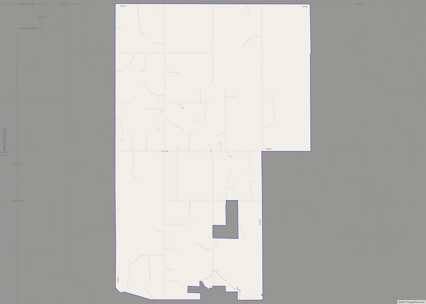
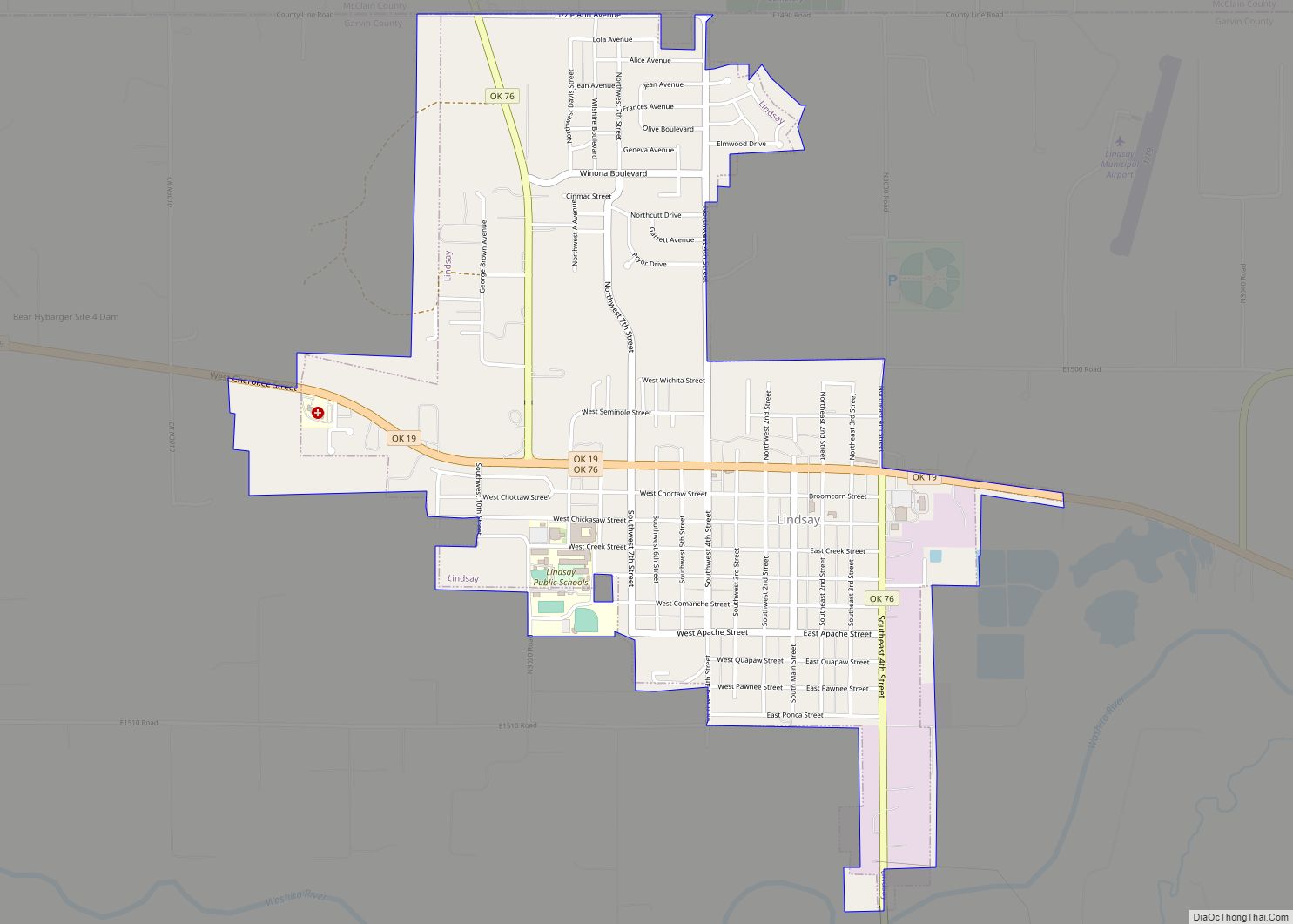
Garvin County is a county in south-central Oklahoma, United States. As of the 2010 census, the population was 27,576. Its county seat is Pauls Valley. In 1906, delegates to Constitution Convention formed Garvin County from part of the Chickasaw Nation, Indian Territory. The county was named for Samuel J. Garvin, a local Chickasaw rancher, merchant and banker. Its economy is largely based on farming, ranching and oil production.
| Name: | Garvin County |
|---|---|
| FIPS code: | 40-049 |
| State: | Oklahoma |
| Founded: | 1906 |
| Named for: | Samuel J. Garvin |
| Seat: | Pauls Valley |
| Largest city: | Pauls Valley |
| Total Area: | 814 sq mi (2,110 km²) |
| Land Area: | 802 sq mi (2,080 km²) |
| Total Population: | 27,576 |
| Population Density: | 34/sq mi (13/km²) |
| Time zone: | UTC−6 (Central) |
| Summer Time Zone (DST): | UTC−5 (CDT) |
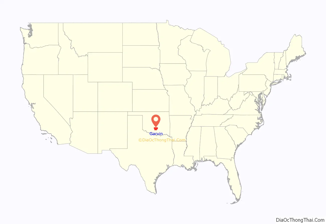
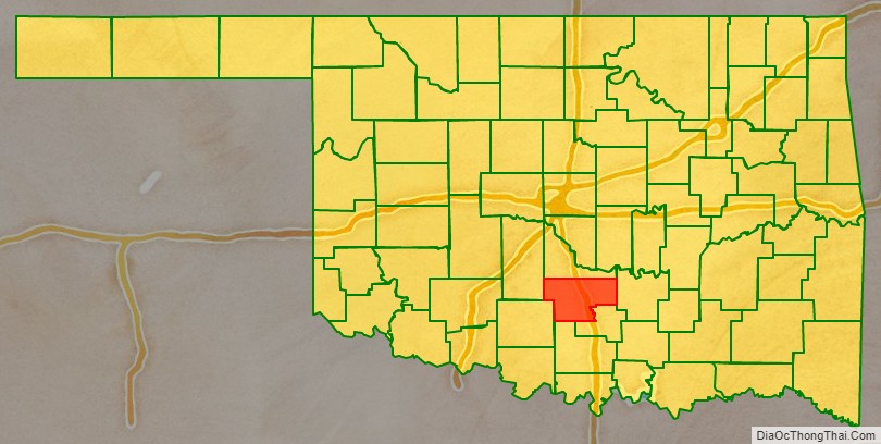
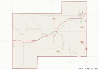
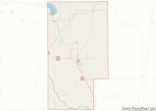
Garvin County location map. Where is Garvin County?
History
Garvin County came into existence on November 16, 1907, the day Oklahoma became a state. The territory within the present-day county had been a part of Pickens County, Chickasaw Nation in the Indian Territory.
An election held June 20, 1908, resulted in county citizens choosing Pauls Valley as the county seat over the towns of Wynnewood and Elmore City.
Oil was discovered in the southwestern part of the county known as Robberson Field in the 1920s. The Golden Trend pool, which ran from the northwest to the southern parts of the county developed later.
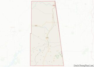
Garvin County Road Map
Geography
According to the U.S. Census Bureau, the county has a total area of 814 square miles (2,110 km), of which 802 square miles (2,080 km) is land and 12 square miles (31 km) (1.4%) is water. The county lies between the Red Bed plains and the Sandstone Hills physiographic regions. The main waterways are the Washita River, Rush Creek and Wildhorse Creek.
Major highways
- Interstate 35
- U.S. Highway 77
- U.S. Highway 177
- State Highway 7
- State Highway 19
- State Highway 29
- State Highway 145
Adjacent counties
- McClain County (north)
- Pontotoc County (east)
- Murray County (southeast)
- Carter County (south)
- Stephens County (southwest)
- Grady County (northwest)
