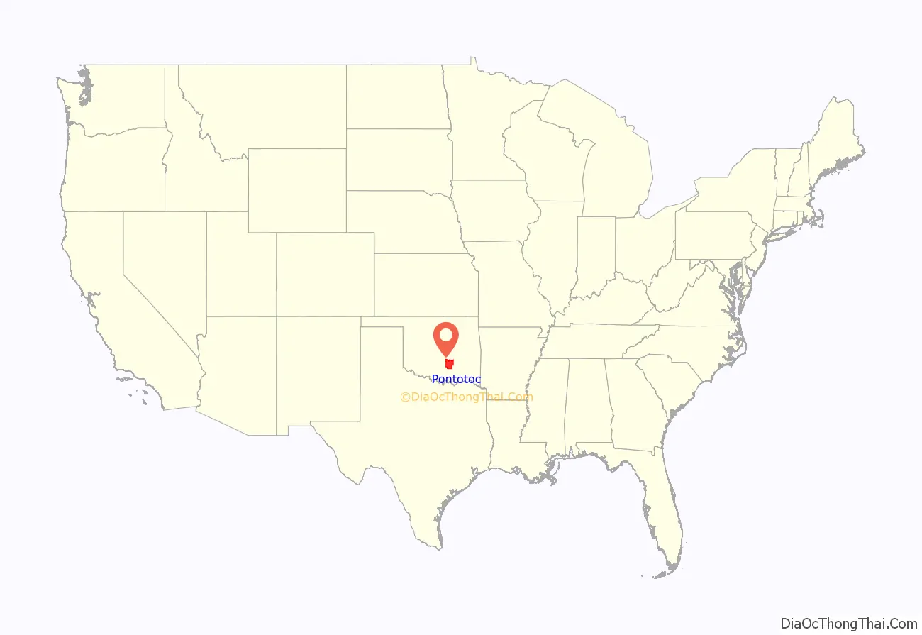
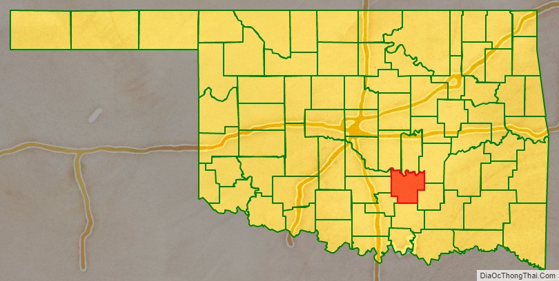
Pontotoc County is in the south central part of Oklahoma. As of the 2010 census, the population was 37,492. Its county seat is Ada. The county was created at statehood from part of the Chickasaw Nation in Indian Territory. It was named for a historic Chickasaw tribal area in Mississippi. According to the Encyclopedia of Oklahoma History and Culture, Pontotoc is usually translated “cattail prairie” or “land of hanging grapes.”
Pontotoc County comprises the Ada, OK Micropolitan Statistical Area.
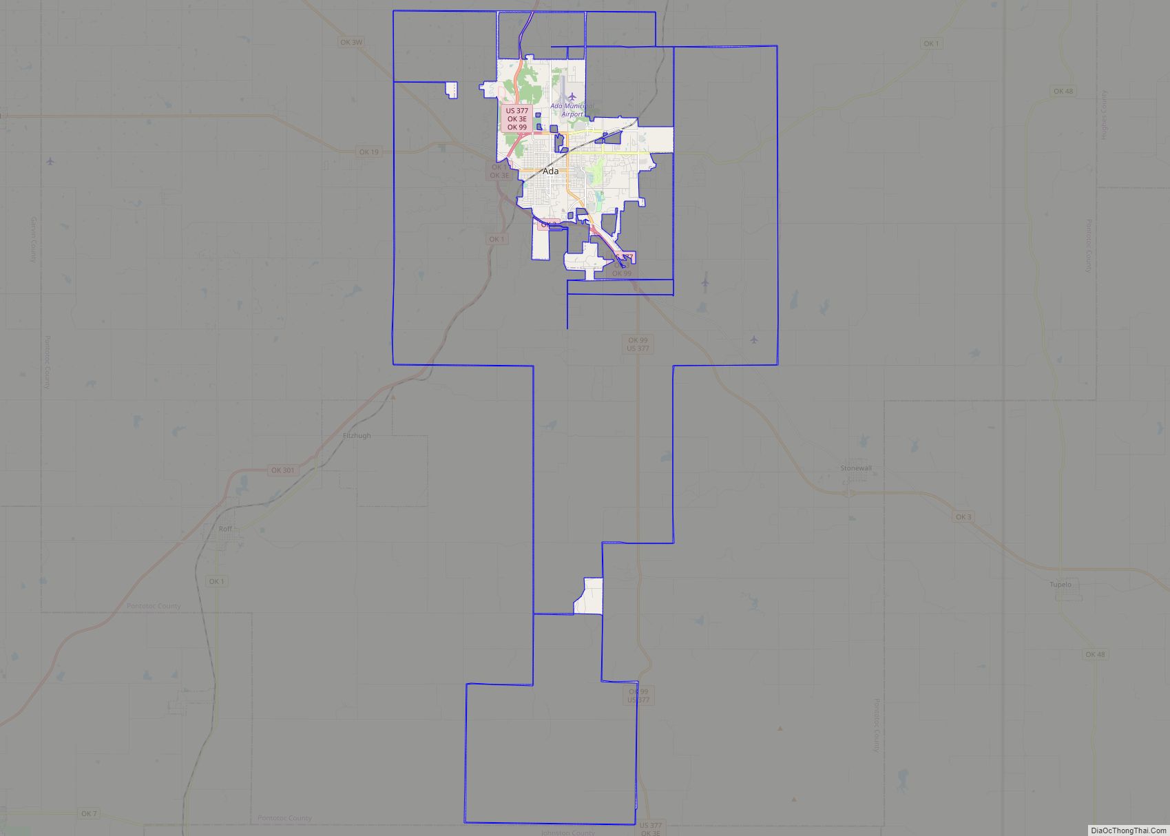
The Chickasaw Nation’s headquarters are in Ada.
| Name: | Pontotoc County |
|---|---|
| FIPS code: | 40-123 |
| State: | Oklahoma |
| Founded: | 1907 |
| Named for: | Chickasaw word for the region meaning either “cattail prairie” “land of hanging grapes” |
| Seat: | Ada |
| Largest city: | Ada |
| Total Area: | 725 sq mi (1,880 km²) |
| Land Area: | 720 sq mi (1,900 km²) |
| Total Population: | 37,492 |
| Population Density: | 52/sq mi (20/km²) |
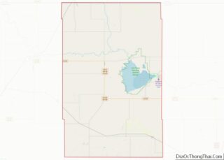
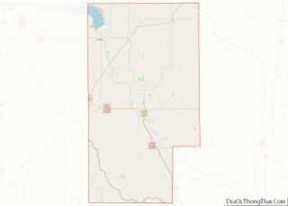
Pontotoc County location map. Where is Pontotoc County?
History
The present Pontotoc County was part of the land that the U.S. government granted in 1830 to the Choctaw tribe via the Treaty of Dancing Rabbit Creek. In 1837, the Chickasaw tribe was granted land within the Choctaw domain. In 1857, the Chickasaw Nation formed its own government on this land. However, few Chickasaw settled there until after the Civil War, mainly because of attacks by various Plains Indian tribes.
The first settlers were located in the vicinity of Boggy Depot during the 1840s. Camp Arbuckle was established to protect migrants traveling on the California Road. After the Civil War, settlements began spreading through the area. Some of the new settlers were illegal white intruders and outlaws. The first post office was established at Stonewall in 1878. The town of Ada was founded in 1890. After three railroads built lines through Ada, it became the dominant community of the area. Ada was named county seat when Pontotoc County was created.
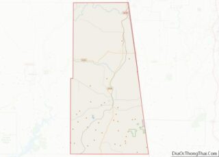
Pontotoc County Road Map
Geography
According to the U.S. Census Bureau, the county has a total area of 725 square miles (1,880 km), of which 720 square miles (1,900 km) is land and 4.8 square miles (12 km) (0.7%) is water. The Canadian River forms the northern boundary.
Adjacent counties
- Seminole County (north)
- Hughes County (northeast)
- Coal County (southeast)
- Johnston County (south)
- Murray County (southwest)
- Garvin County (west)
- McClain County (northwest)
- Pottawatomie County (northwest)
