Davis is a city in Garvin and Murray counties in the U.S. state of Oklahoma. The population was 2,683 at the 2010 census.
| Name: | Davis city |
|---|---|
| LSAD Code: | 25 |
| LSAD Description: | city (suffix) |
| State: | Oklahoma |
| County: | Garvin County, Murray County |
| Elevation: | 846 ft (258 m) |
| Total Area: | 9.28 sq mi (24.03 km²) |
| Land Area: | 9.26 sq mi (23.98 km²) |
| Water Area: | 0.02 sq mi (0.05 km²) |
| Total Population: | 2,823 |
| Population Density: | 304.89/sq mi (117.72/km²) |
| ZIP code: | 73030 |
| Area code: | 580 |
| FIPS code: | 4019450 |
| GNISfeature ID: | 1091947 |
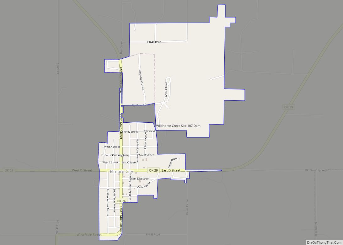
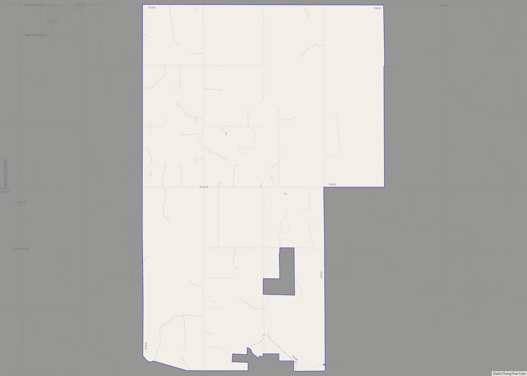
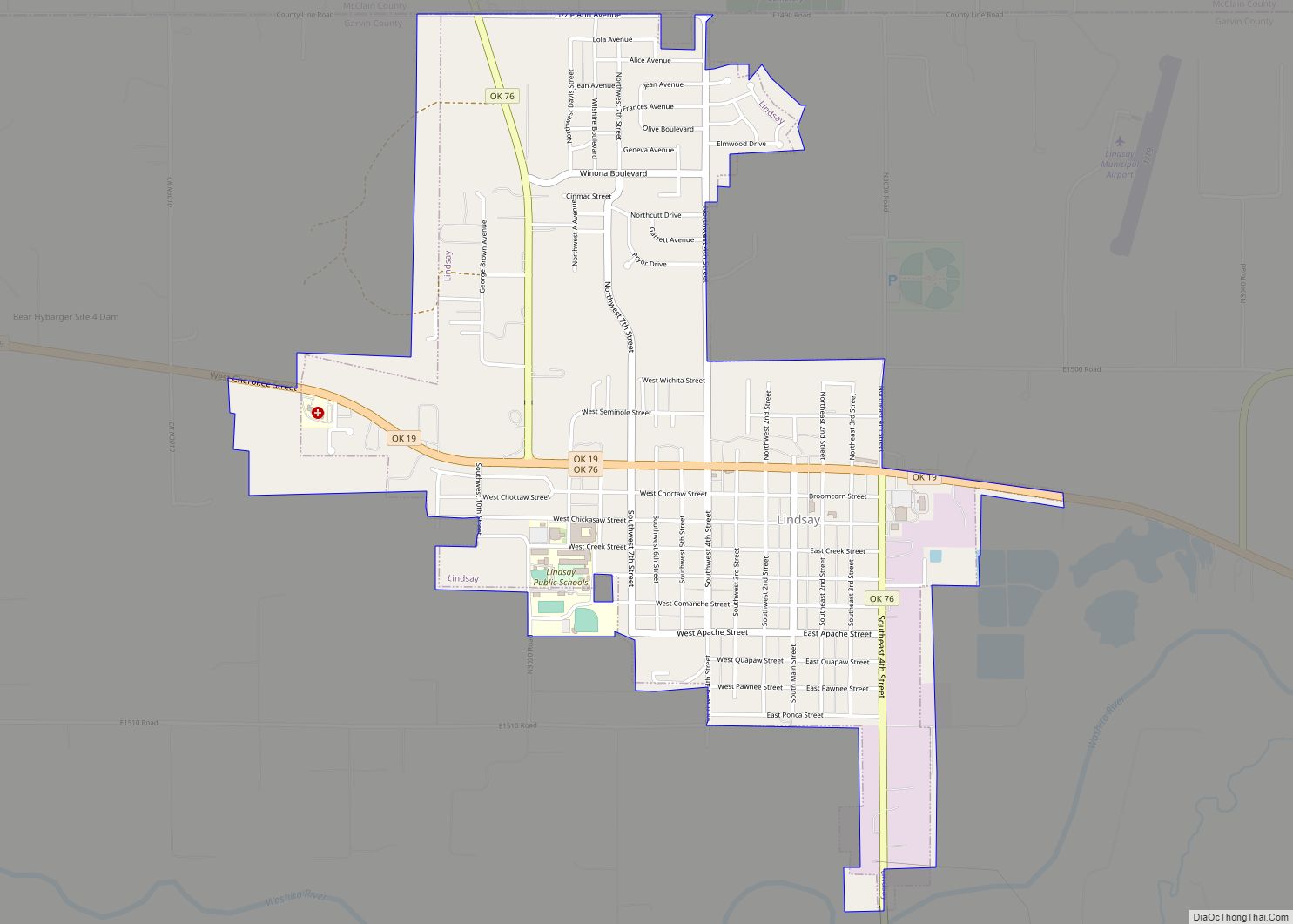
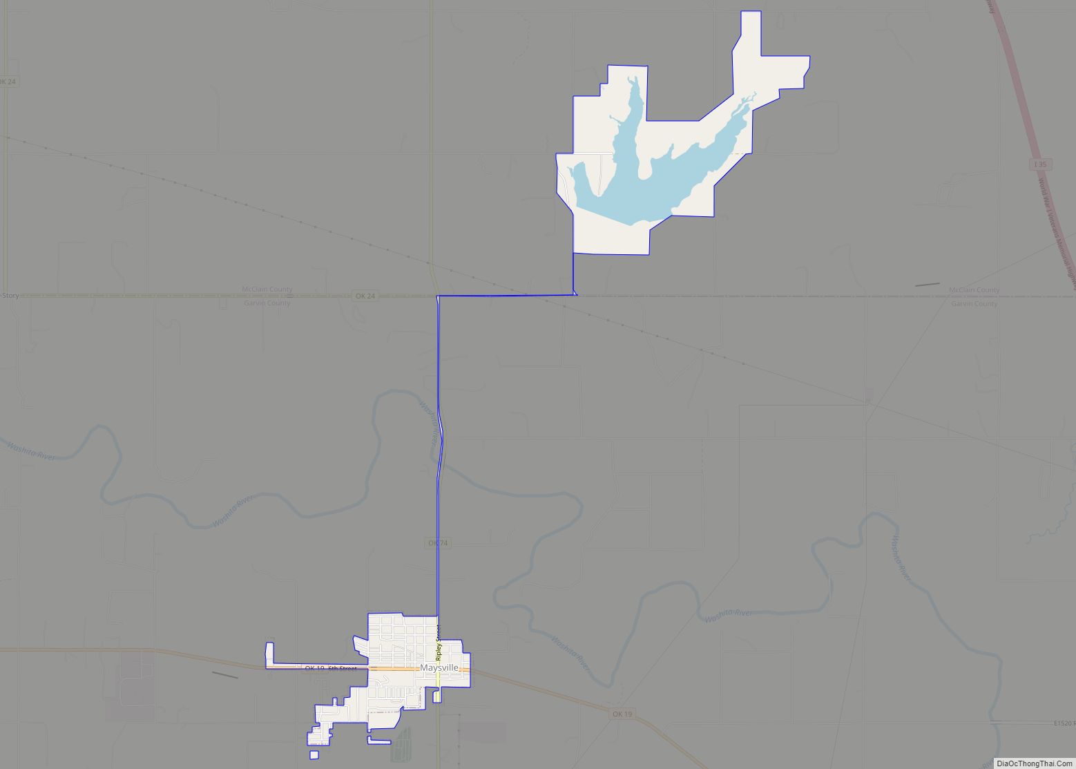
Online Interactive Map
Click on ![]() to view map in "full screen" mode.
to view map in "full screen" mode.
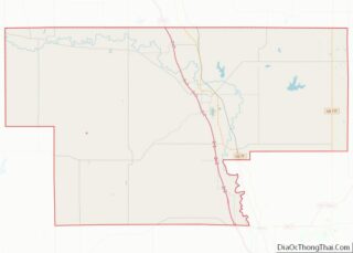
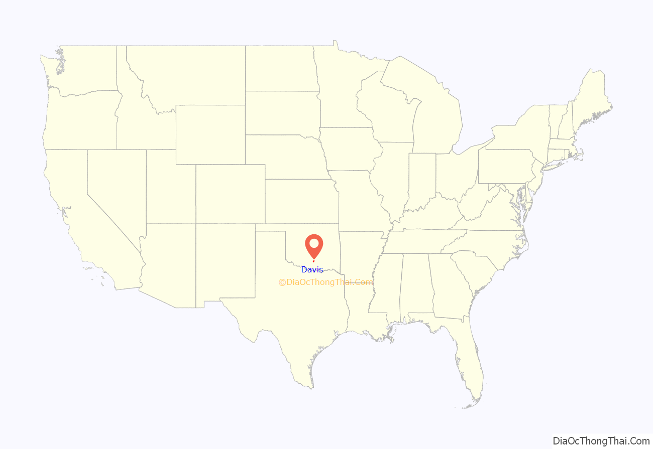
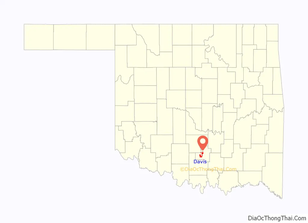
Davis location map. Where is Davis city?
History
Davis is named after Samuel H. Davis, who moved to Washita in what was then Indian Territory in 1887. At the time of its founding, the community was located in Pickens County, Chickasaw Nation.
Davis owned a dry goods store, which was four miles south of the current town of Davis. Davis submitted a petition for a Santa Fe depot to be built near his store, and the petition was accepted. In 1890, he also successfully petitioned for a post office to be built. The post office was supposed to be named after Nelson Chigley, a Chickasaw Indian who owned the land on which the town was to be built. Chigley was already an Indian Territory name, so it was named after Davis. The town was established on November 16, 1898. It is located 23 miles north of Ardmore and 23 miles south of Pauls Valley.
By 1900, Davis had 57 businesses, two banks, 10 doctors, three dentists, and three lawyers. Cotton farming was a common occupation in Davis, which was in one of the best cotton producing sections in Oklahoma.
Later, when U.S. Interstate 35 was constructed, it was built two miles to the west of Davis.
By the year 2000 the population had grown to 2,610, and very few people worked as farmers. The education, health, and social services sectors of the economy have grown, with approximately one-quarter of the population working in these areas.
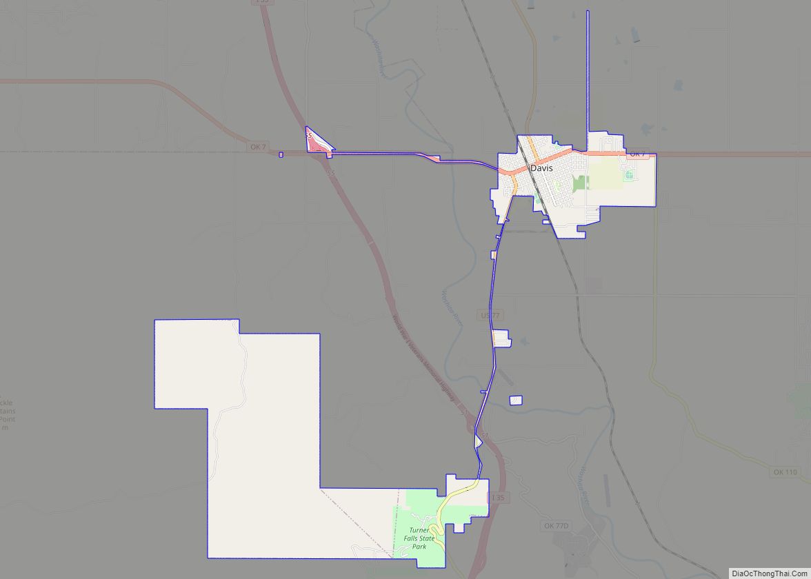
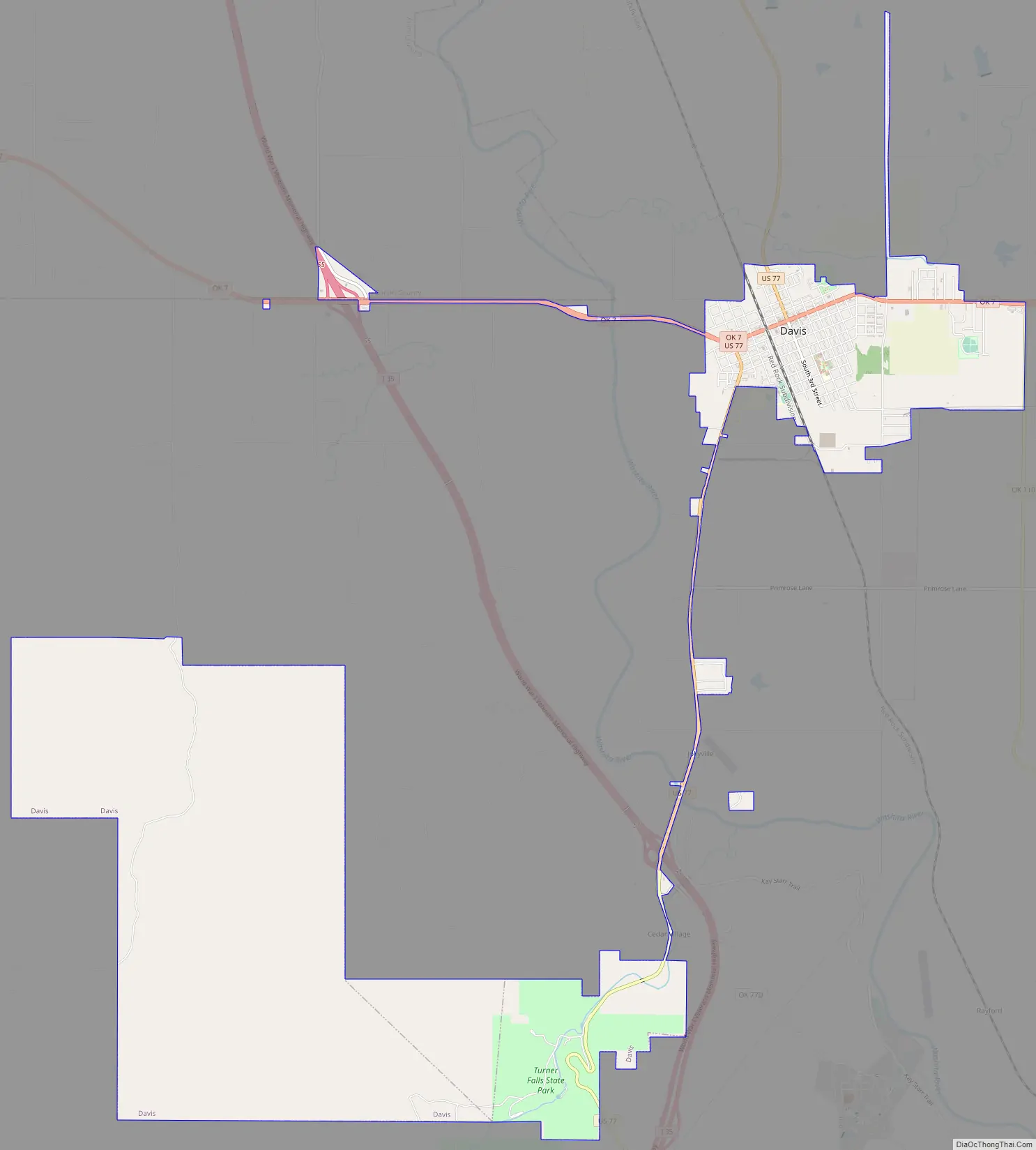
Davis Road Map
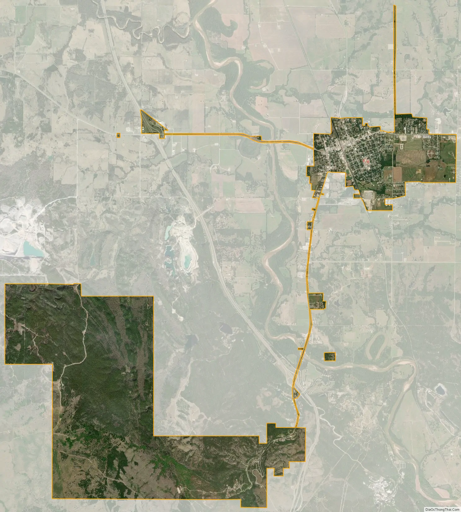
Davis city Satellite Map
Geography
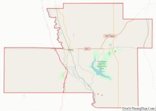
According to the United States Census Bureau, the city has a total area of 11.0 square miles (28.5 km), all land. It is located near the Lake of the Arbuckles. Davis is at the intersection of US-77 and SH-7. SH-7 east of Davis leads onto SH-7 Spur which, at the intersection with U.S. Route 177, feeds into the western end of the Chickasaw Turnpike.
See also
Map of Oklahoma State and its subdivision:- Adair
- Alfalfa
- Atoka
- Beaver
- Beckham
- Blaine
- Bryan
- Caddo
- Canadian
- Carter
- Cherokee
- Choctaw
- Cimarron
- Cleveland
- Coal
- Comanche
- Cotton
- Craig
- Creek
- Custer
- Delaware
- Dewey
- Ellis
- Garfield
- Garvin
- Grady
- Grant
- Greer
- Harmon
- Harper
- Haskell
- Hughes
- Jackson
- Jefferson
- Johnston
- Kay
- Kingfisher
- Kiowa
- Latimer
- Le Flore
- Lincoln
- Logan
- Love
- Major
- Marshall
- Mayes
- McClain
- McCurtain
- McIntosh
- Murray
- Muskogee
- Noble
- Nowata
- Okfuskee
- Oklahoma
- Okmulgee
- Osage
- Ottawa
- Pawnee
- Payne
- Pittsburg
- Pontotoc
- Pottawatomie
- Pushmataha
- Roger Mills
- Rogers
- Seminole
- Sequoyah
- Stephens
- Texas
- Tillman
- Tulsa
- Wagoner
- Washington
- Washita
- Woods
- Woodward
- Alabama
- Alaska
- Arizona
- Arkansas
- California
- Colorado
- Connecticut
- Delaware
- District of Columbia
- Florida
- Georgia
- Hawaii
- Idaho
- Illinois
- Indiana
- Iowa
- Kansas
- Kentucky
- Louisiana
- Maine
- Maryland
- Massachusetts
- Michigan
- Minnesota
- Mississippi
- Missouri
- Montana
- Nebraska
- Nevada
- New Hampshire
- New Jersey
- New Mexico
- New York
- North Carolina
- North Dakota
- Ohio
- Oklahoma
- Oregon
- Pennsylvania
- Rhode Island
- South Carolina
- South Dakota
- Tennessee
- Texas
- Utah
- Vermont
- Virginia
- Washington
- West Virginia
- Wisconsin
- Wyoming