Pauls Valley is a city in and the county seat of Garvin County, Oklahoma, United States. The population was 5,992 at the 2020 census, a decline of 3.2 percent from the figure of 6,187 in 2010. It was settled by and named for Smith Paul, a North Carolina native who married a Chickasaw woman and became a citizen of the Chickasaw Nation before the Civil War. The town economy is largely based on agriculture and oil production.
| Name: | Pauls Valley city |
|---|---|
| LSAD Code: | 25 |
| LSAD Description: | city (suffix) |
| State: | Oklahoma |
| County: | Garvin County |
| Elevation: | 873 ft (266 m) |
| Total Area: | 8.49 sq mi (21.99 km²) |
| Land Area: | 8.32 sq mi (21.56 km²) |
| Water Area: | 0.17 sq mi (0.43 km²) |
| Total Population: | 5,992 |
| Population Density: | 719.85/sq mi (277.94/km²) |
| ZIP code: | 73075 |
| Area code: | 405 |
| FIPS code: | 4057550 |
| GNISfeature ID: | 2411387 |
| Website: | www.paulsvalley.com |
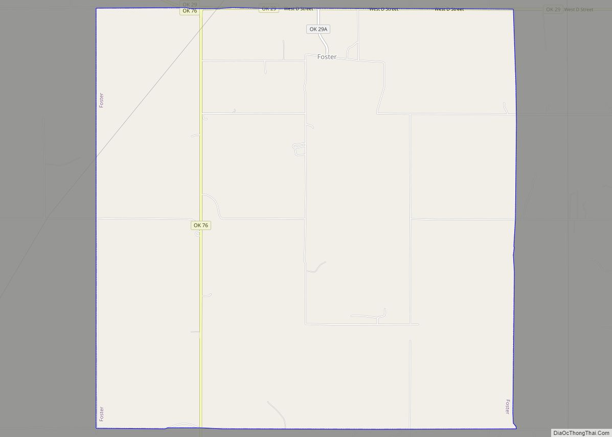
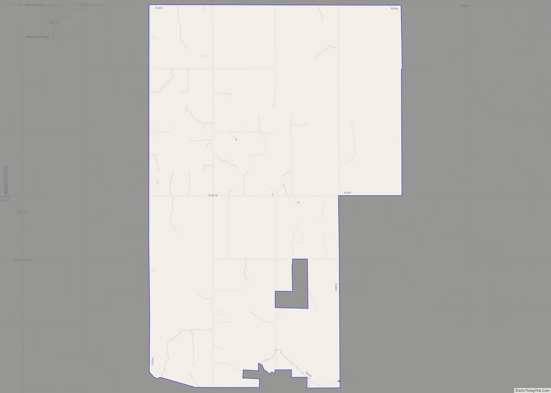
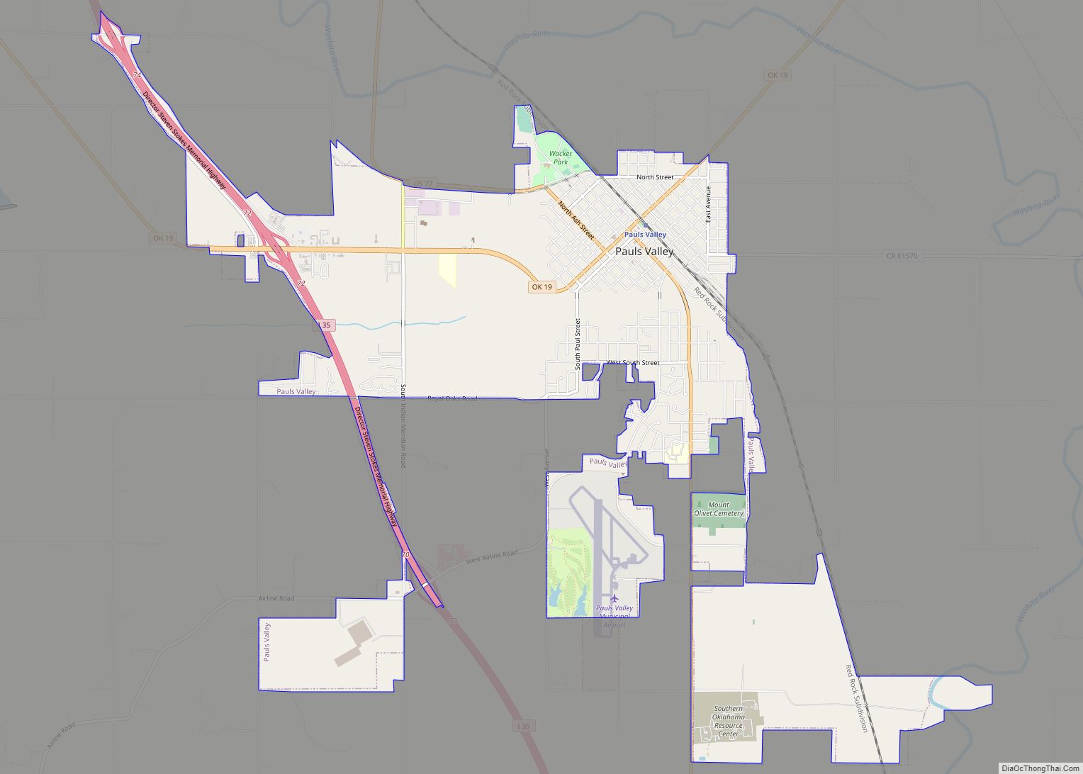
Online Interactive Map
Click on ![]() to view map in "full screen" mode.
to view map in "full screen" mode.
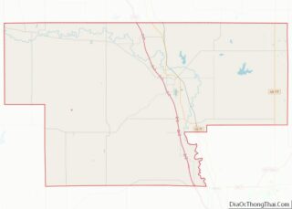
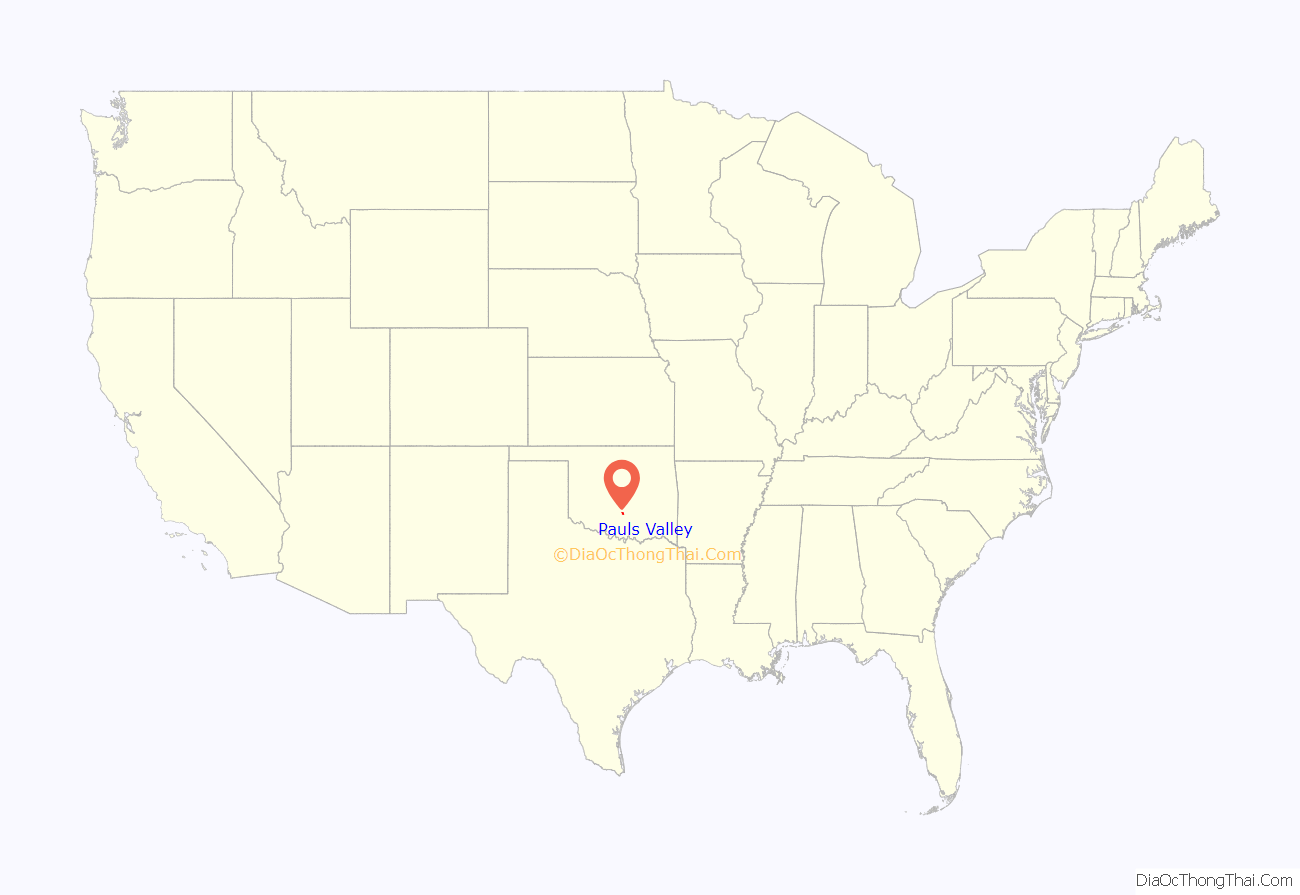
Pauls Valley location map. Where is Pauls Valley city?
History
The area that eventually became the city of Pauls Valley was one of the earliest European-American settlements in what was then known as Indian Territory. Smith Paul, born in 1809 in New Bern, North Carolina, discovered the fertile bottom land which is now Pauls Valley while a member of a wagon train traveling to California. Paul described the land as “a section where the bottom land was rich and blue stem grass grew so high that a man on horseback was almost hidden in its foliage.”
The Tri-Party Treaty of January 1, 1837, ceded this part of what is now the State of Oklahoma to the Chickasaw Nation. When the Chickasaw people were relocated to Indian Territory that year, Smith Paul moved with them and married Ela-Teecha, a Chickasaw woman. In 1847, the Pauls established a plantation on the rich Garvin County bottom land, where Rush Creek joined the Washita River, which became known to locals as “Smith Paul’s Valley”. Mail to the Pauls was often addressed to “Smith Paul’s Large Farm”. By 1871, postal service was established in the area, although the post office was designated “Paul’s Valley, Arkansas”, because the Indian Territory was being administered out of Arkansas at that time.
The Atchison, Topeka and Santa Fe Railway (a.k.a. Santa Fe Railway) shortened the name to “Paul’s Valley” when it built a track through the community in 1887, completing its connection between Kansas and the Gulf Coast. The railroad brought growth and prosperity to Smith Paul’s Valley. The first newspaper was published in 1887. The Pauls Valley town site was laid out in 1892, though the plat was not approved by the Dawes Commission until 1903.
At the time of its founding, Pauls Valley was located in Pickens County, Chickasaw Nation.
A U.S. courthouse was built in 1895. The first white school in Indian Territory was established, and brick buildings were built downtown. In 1909, the streets were bricked. Today, Pauls Valley has more brick streets—17,986 square yards (15,039 m)—than any other town in the United States.
From 1948–1954, Pauls Valley was home to the Pauls Valley Raiders, a minor league baseball team. The Pauls Valley Raiders were a member of the Class D Sooner State League and an affiliate of the New York Giants (1952–1953). The Pauls Valley Raiders played at Wacker Park.
When the Santa Fe Railway discontinued its Lone Star route in 1979, the 1905 building fell into disuse. By 1985, the BNSF Railway (which had bought the Santa Fe Railway, had obtained a permit to raze the old depot. Adrienne Grimmet, who was then president of the Pauls Valley Historical Society, started a campaign to save the old structure. Her efforts resulted in the city buying the depot from BNSF and turning it over to the historical society for conversion into a museum. Individuals donated their time and skills, and local businesses either donated or discounted the cost of materials to perform the necessary renovations, which began in 1991.
In 1999, Amtrak began its Heartland Flyer service between Oklahoma City and Fort Worth, passing through Pauls Valley. City officials agreed to build a new waiting room for Amtrak passengers adjacent to the old depot. The new Pauls Valley station has a climate-controlled waiting area and restrooms, but is unstaffed, having no ticketing or baggage handling facilities. It also has a 10-car parking lot outside. The architecture was designed to be compatible with the old Santa Fe-style building.
The Oklahoma Cartoonists Hall of Fame, located in the Toy and Action Figure Museum, was opened in Pauls Valley in 2005.
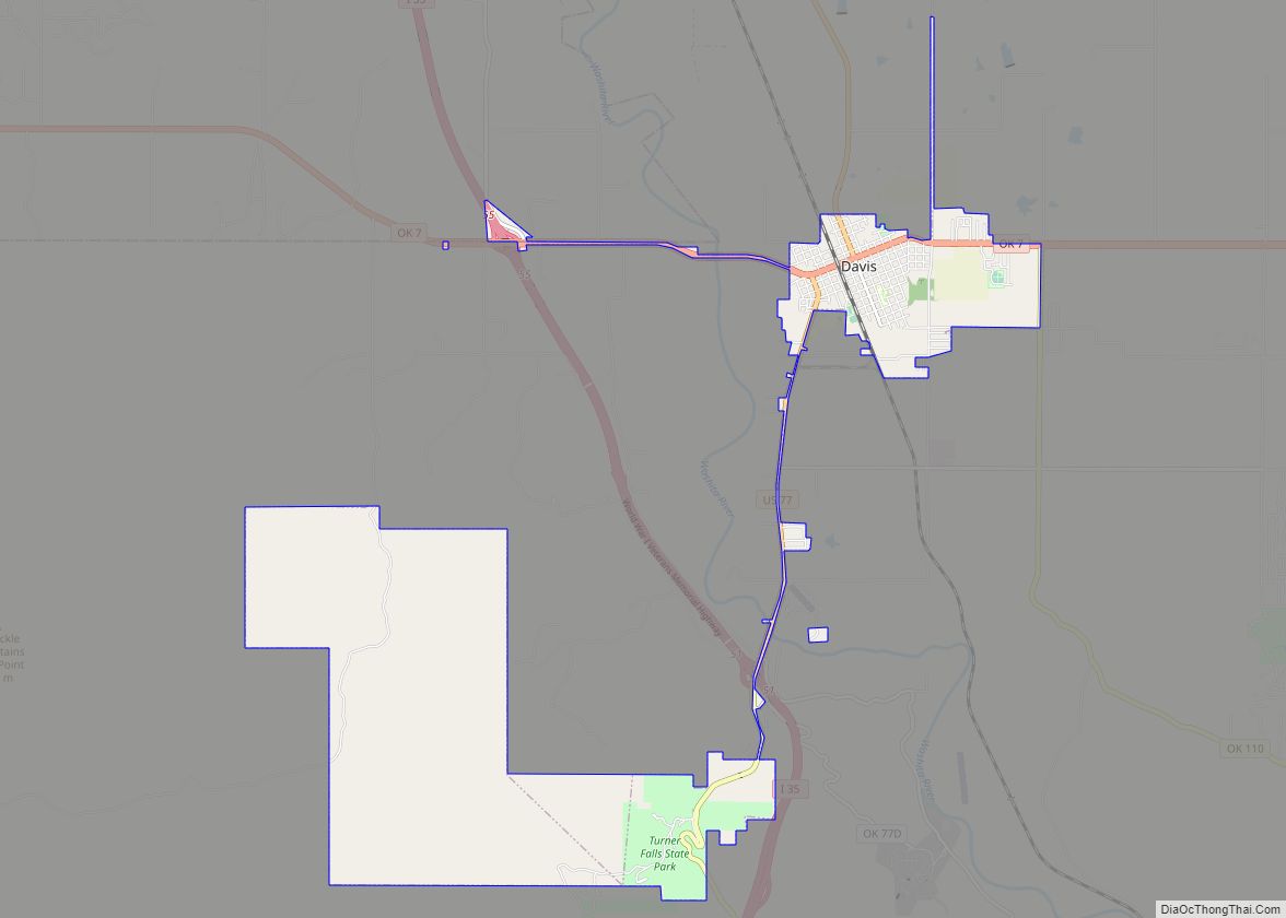
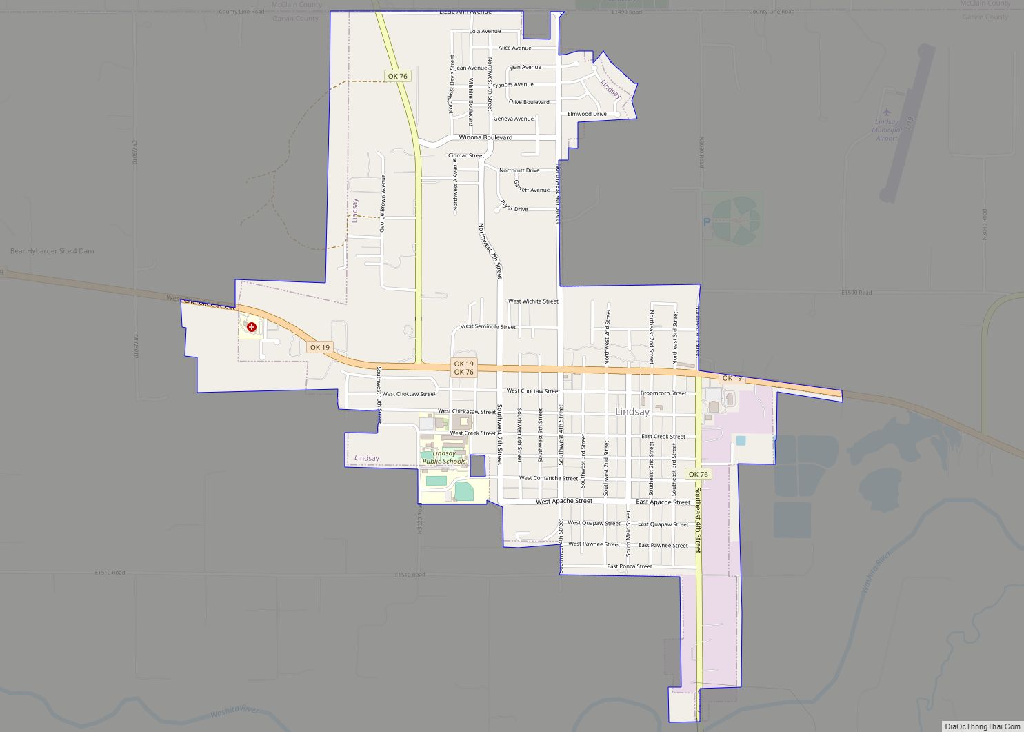
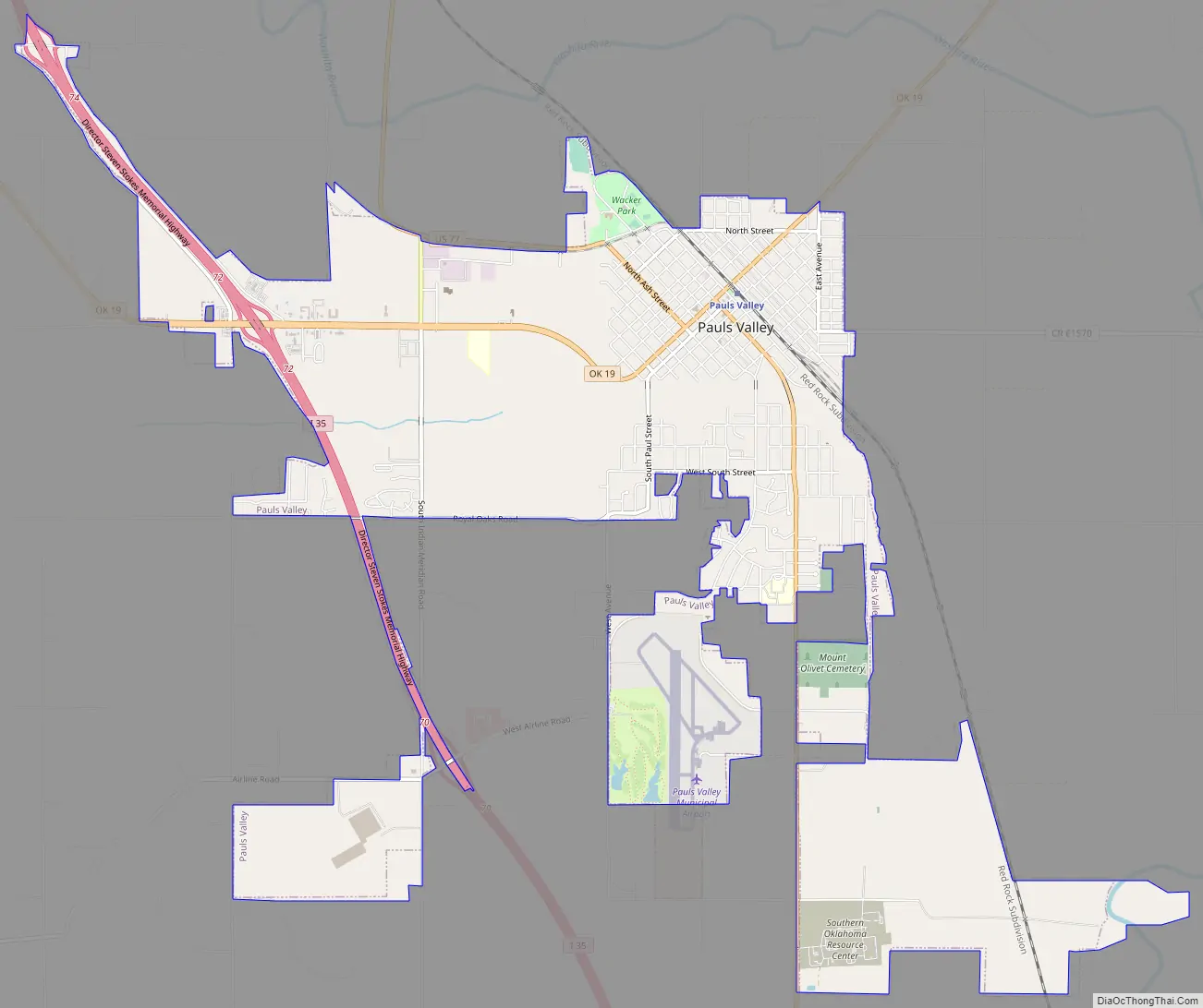
Pauls Valley Road Map
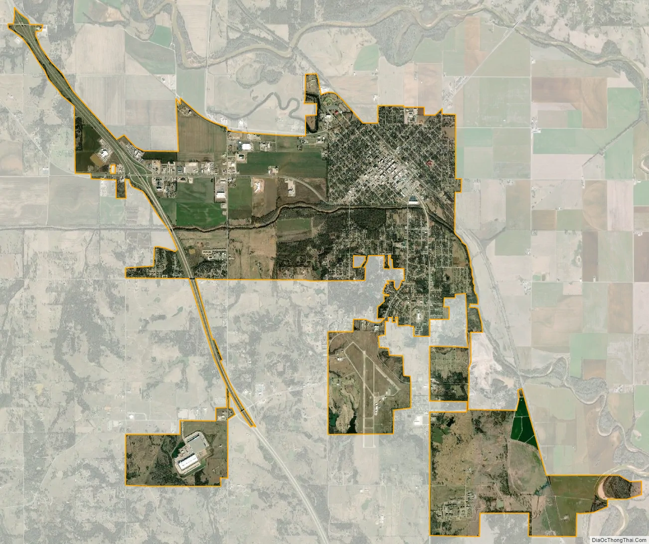
Pauls Valley city Satellite Map
Geography
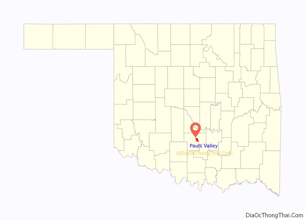
Pauls Valley is located east of the center of Garvin County at 34°44′9″N 97°13′25″W / 34.73583°N 97.22361°W / 34.73583; -97.22361 (34.735831, -97.223503). It is 57 miles (92 km) south of Oklahoma City, at the junction of Interstate 35 and State Highway 19.
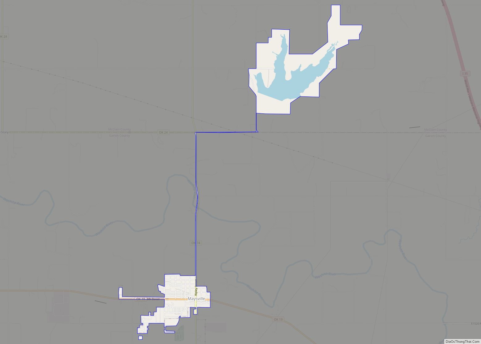
According to the United States Census Bureau, the city has a total area of 8.7 square miles (22.6 km), of which 8.6 square miles (22.2 km) is land and 0.2 square miles (0.4 km), or 1.90%, is water. The Washita River, a tributary of the Red River, flows through the city north of the downtown area.
The Pauls Valley City Lake, located about 3 miles (5 km) northeast of the center of town, offers recreational opportunities, including fishing, camping, swimming, Jet Skiing, hunting, and a pavilion for groups to use.
See also
Map of Oklahoma State and its subdivision:- Adair
- Alfalfa
- Atoka
- Beaver
- Beckham
- Blaine
- Bryan
- Caddo
- Canadian
- Carter
- Cherokee
- Choctaw
- Cimarron
- Cleveland
- Coal
- Comanche
- Cotton
- Craig
- Creek
- Custer
- Delaware
- Dewey
- Ellis
- Garfield
- Garvin
- Grady
- Grant
- Greer
- Harmon
- Harper
- Haskell
- Hughes
- Jackson
- Jefferson
- Johnston
- Kay
- Kingfisher
- Kiowa
- Latimer
- Le Flore
- Lincoln
- Logan
- Love
- Major
- Marshall
- Mayes
- McClain
- McCurtain
- McIntosh
- Murray
- Muskogee
- Noble
- Nowata
- Okfuskee
- Oklahoma
- Okmulgee
- Osage
- Ottawa
- Pawnee
- Payne
- Pittsburg
- Pontotoc
- Pottawatomie
- Pushmataha
- Roger Mills
- Rogers
- Seminole
- Sequoyah
- Stephens
- Texas
- Tillman
- Tulsa
- Wagoner
- Washington
- Washita
- Woods
- Woodward
- Alabama
- Alaska
- Arizona
- Arkansas
- California
- Colorado
- Connecticut
- Delaware
- District of Columbia
- Florida
- Georgia
- Hawaii
- Idaho
- Illinois
- Indiana
- Iowa
- Kansas
- Kentucky
- Louisiana
- Maine
- Maryland
- Massachusetts
- Michigan
- Minnesota
- Mississippi
- Missouri
- Montana
- Nebraska
- Nevada
- New Hampshire
- New Jersey
- New Mexico
- New York
- North Carolina
- North Dakota
- Ohio
- Oklahoma
- Oregon
- Pennsylvania
- Rhode Island
- South Carolina
- South Dakota
- Tennessee
- Texas
- Utah
- Vermont
- Virginia
- Washington
- West Virginia
- Wisconsin
- Wyoming