Gooding County is a county located in the U.S. state of Idaho. As of the 2010 census, the population was 15,464. Its county seat is Gooding. The county was created by the Idaho Legislature on January 28, 1913, by a partition of Lincoln County. It is named for Frank R. Gooding, the 7th governor and a United States Senator from Idaho.
| Name: | Gooding County |
|---|---|
| FIPS code: | 16-047 |
| State: | Idaho |
| Founded: | January 28, 1913 |
| Named for: | Frank R. Gooding |
| Seat: | Gooding |
| Largest city: | Gooding |
| Total Area: | 734 sq mi (1,900 km²) |
| Land Area: | 729 sq mi (1,890 km²) |
| Total Population: | 15,464 |
| Population Density: | 21/sq mi (8.1/km²) |
| Time zone: | UTC−7 (Mountain) |
| Summer Time Zone (DST): | UTC−6 (MDT) |
| Website: | www.goodingcounty.org |
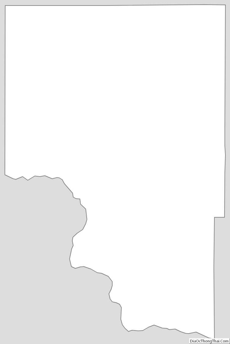
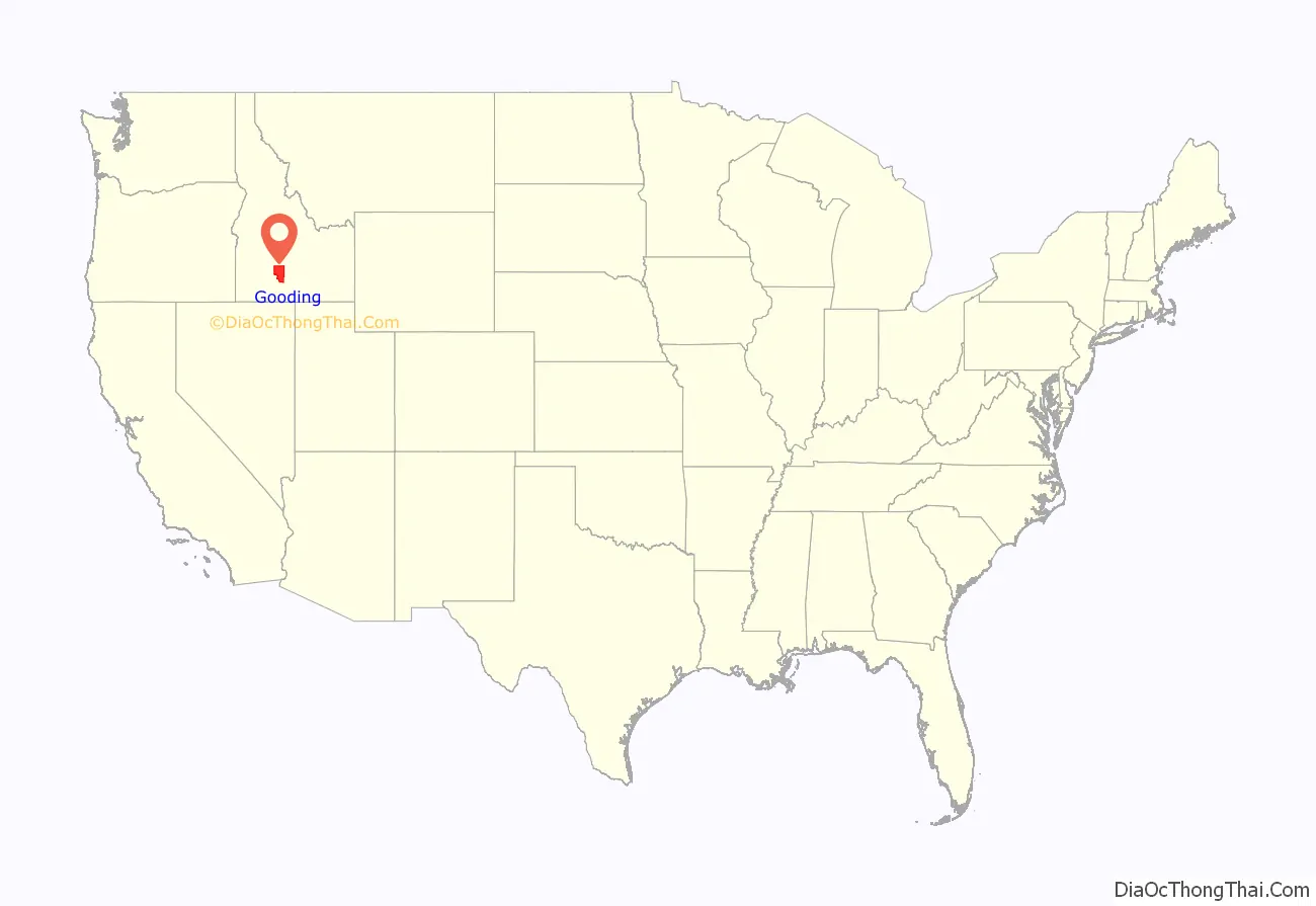
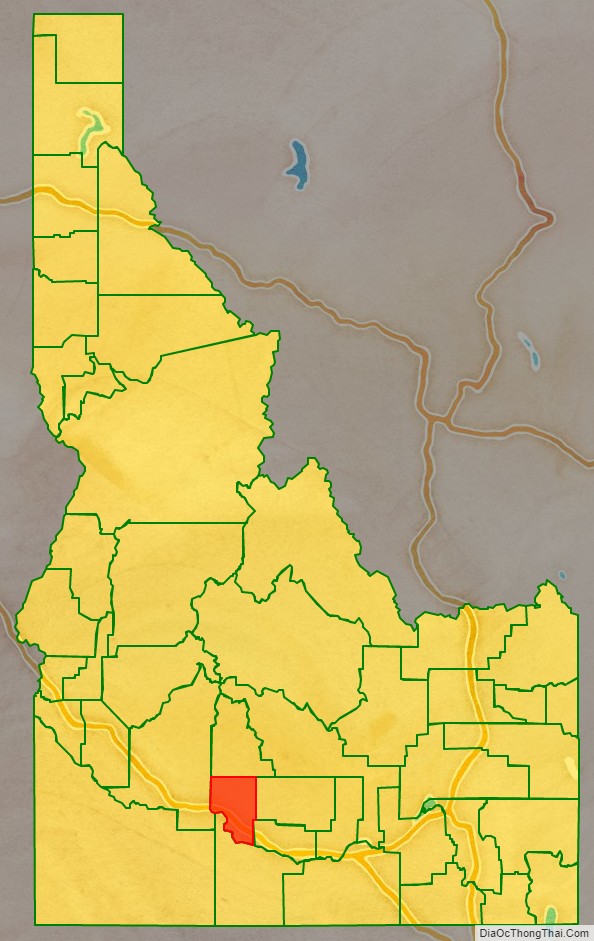
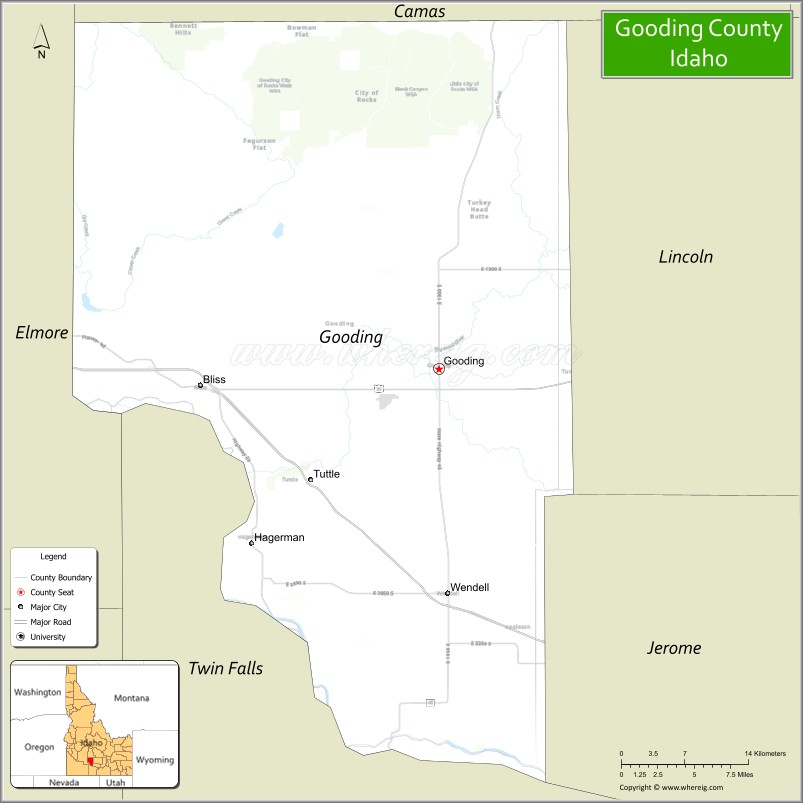
Gooding County location map. Where is Gooding County?
History
Almost 15,000 years ago, the Hagerman Valley was formed by the Bonneville Flood which deposited thousands of smooth boulders which can be seen on the surface of the valley floor today. After the Bonneville flood, Natives settled the area starting at least 12,000 years ago. Natives came into contact with emigrants on the Oregon Trail by 1840. The Oregon Trail traversed Gooding County with many emigrants stopping at Salmon Falls on the Snake River to barter fish with the native population. While Gooding County presently contains significant farming operations, it was the discovery of gold in 1862 that brought non-native settlement to the area. Mining settlement in the area was quite small in comparison to the rush to the Boise Valley occurring at the same time. The 1863 Census of Idaho Territory indicates there were 600 miners working Snake River mining operations, possibly covering the span of the river from the Hagerman Valley to Idaho Falls. Seven years later few people remained. A camp was sustained at Salmon Falls during 1870. The U.S. Census of 1870 enumerated 28 residents for “Overland Road and Snake River”
At the time of Snake River mining operations, the mining settlements were under the jurisdiction of Idaho County, Washington Territory. They were transferred to Boise County in 1863, becoming part of Alturas County at its creation in 1864. The railroad came through the area in the early 1880s with the Toponis railroad station being established by 1883. A post office was established there by 1887. The Toponis and Hagerman Valley settlements became part of Logan County at its creation in 1889. Logan county established the Bliss, Malad, and Toponis precincts containing 340 residents at the 1890 census. These precincts were transferred to Lincoln County at the first attempt to organize it in 1891. That act was found unconstitutional. In 1895 the precincts were transferred to Blaine County for a few days before ending up in Lincoln County. The arrival of the 20th Century brought a significant increase in settlement at Wendell and Toponis. Wendell incorporated in 1902. A town was platted on land owned by Frank R. Gooding at the Toponis rail station in 1907 and incorporated under the name of Gooding in 1908. The boom in settlement is clearly reflected when comparing 1900 and 1910 U.S. Census data. From 1900 to 1910, the Gooding precinct posted a 931% increase over the population listed for Toponis in 1900. The Clear Creek, Hagerman, and Wendell precincts were derived from the Malad precinct and posted a 509% increase over its 1900 population. Population growth was substantially lower at Bliss which only increased 42% over the 1900 population for the Bliss and Boulder Hill precincts. The only exception to the boom was for the sparsely populated Clover Creek precinct which saw a population decline. Overall, the precincts grew from 852 residents to 4,677 over that time frame—an increase of 448%.
Compared to other Lincoln County settlements of the time, Gooding’s growth was mirrored in new settlement at Jerome and Rupert. The Jerome and Gooding precincts overtook the county seat of Shoshone as the most populous precincts at the 1910 census with the Rupert precinct trailing Shoshone by less than 200 residents. Shoshone was familiar with losing its position as county seat after having been established as the county seat of Logan County in 1889, only to lose that status to Bellevue at an election in 1890. The political considerations of Lincoln County’s growth led to the creation of Gooding and Minidoka counties in 1913. Gooding County took on its present shape in 1919 after the formation of Jerome County.
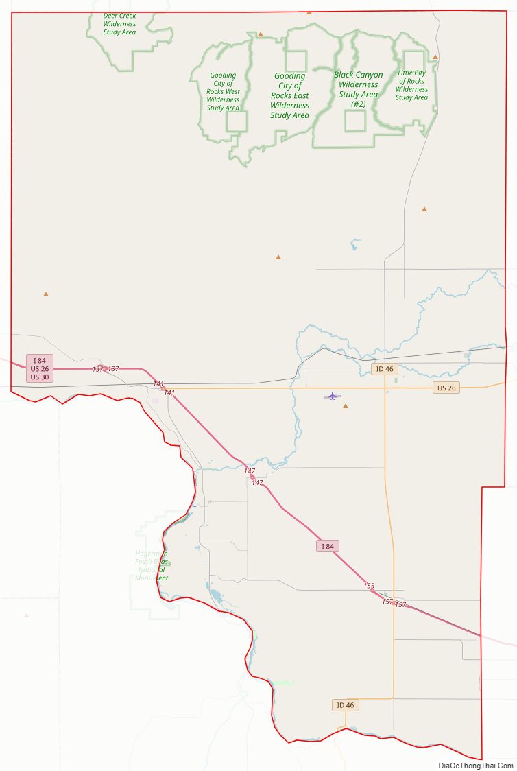
Gooding County Road Map
Geography
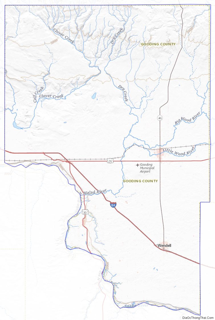
According to the U.S. Census Bureau, the county has a total area of 734 square miles (1,900 km), of which 729 square miles (1,890 km) is land and 4.7 square miles (12 km) (0.6%) is water.
Adjacent counties
- Elmore County – west
- Twin Falls County – south
- Jerome County – east
- Lincoln County – east
- Camas County – north
Highways
- Interstate 84
- US 26
- US 30
- SH-46
Gooding County Topographic Map
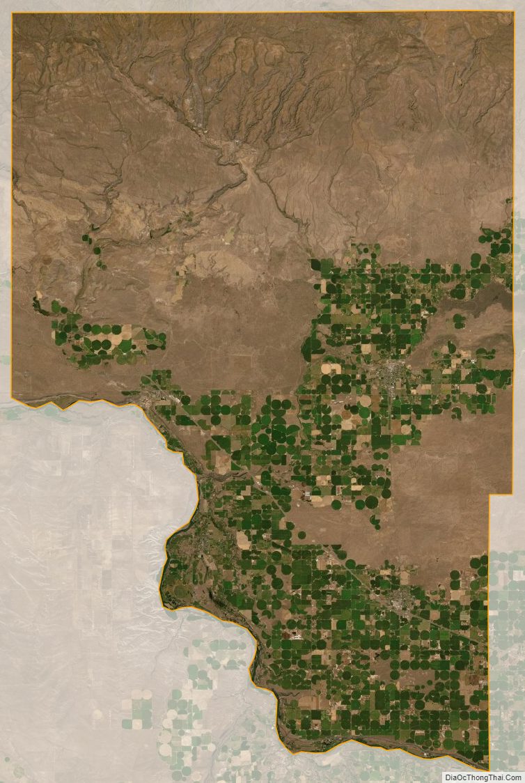
Gooding County Satellite Map
Gooding County Outline Map