Camas County is a county in the southern portion of the U.S. state of Idaho. The county seat and largest city is Fairfield. The county was established 106 years ago in 1917 by the Idaho Legislature with a partition of Blaine County on February 6. It is named for the camas root, or Camassia, a lily-like plant with an edible bulb found in the region, that Native Americans and settlers used as a food source. As of the 2020 census, the population was 1,077, making it the second-least populous county in the state, after Clark County.
Camas County is part of the Hailey, ID Micropolitan Statistical Area.
| Name: | Camas County |
|---|---|
| FIPS code: | 16-025 |
| State: | Idaho |
| Founded: | February 6, 1917 |
| Named for: | Camas root |
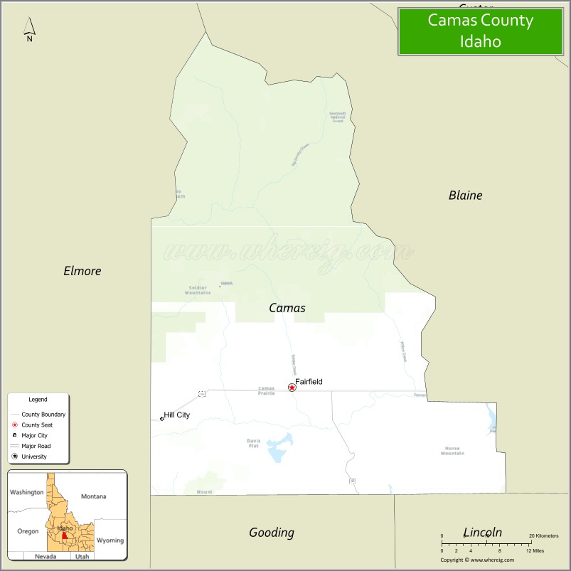
| Seat: | Fairfield |
| Largest city: | Fairfield |
| Total Area: | 1,079 sq mi (2,790 km²) |
| Land Area: | 1,074 sq mi (2,780 km²) |
| Total Population: | 1,077 |
| Population Density: | 1/sq mi (0.4/km²) |
| Time zone: | UTC−7 (Mountain) |
| Summer Time Zone (DST): | UTC−6 (MDT) |
| Website: | camascounty.id.gov |
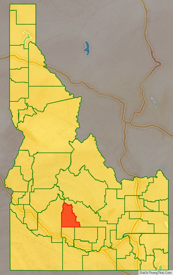
Camas County location map. Where is Camas County?
History
Native presence on the Camas Prairie dates back over 11,000 years ago. The Shoshoni, Northern Piute, and Nez Perce migrated annually to the Camas Prairie to gather camas and yampa for their winter food storage. Explorer, Donald Mackenzie discovered the Camas Prairie by 1820 and the area slowly grew in importance as a travel route. Military escorts for wagon trains headed to Oregon started using the route through the Camas Prairie in 1852. The route was later named Goodale Cutoff, for Timothy Goodale who first brought migrants through the Camas Prairie in 1862. When the cavalry was stationed at Fort Boise the southern portion of the Camas Prairie was an important feeding ground for their horses. In 1869, a treaty ratified by the US Senate provided a portion of the “Kansas Prairie” instead of the “Camas Prairie” to be retained by the Bannock Indians. The error may have made by the person who transcribed the treaty. Since there was no “Kansas Prairie” in Idaho, the treaty rights of the Bannocks were ignored. When they found a few settlers were allowing their hogs to feed on the Bannocks’ traditional food source, the camas root, they objected (without results), which was a major cause of the Bannock War of 1878.
The Camas Prairie was initially entirely within Alturas County when initial settlement started following the Bannock War. While the Lava mining district near Fairfield was active in the 1880s, Camas County’s settlements were primarily agricultural. By the fall of 1881, over 60 farming operations were in existence. Town settlements at Crichton and Soldier occurred almost simultaneously in 1884. Corral was settled no later than 1886. The Camas Prairie became part of Logan County when it was formed in 1889 with the mountainous area north of the prairie remaining within Alturas County. At the 1890 Census, Alturas County contained the Little Smoky precinct with 95 residents while Logan County contained the Corral, Crichton, Soldier, and Spring Creek precincts with a combined population of 805. In 1891, the Idaho Legislature attempted to transfer all five Camas precincts to a new county named Alta. The Idaho Supreme Court found the act unconstitutional. Blaine County included all five Camas precincts when it was organized in 1895. The settlement at Crichton was abandoned in 1896. The decline at Crichton, led to a slight decline to 836 residents within the five Camas precincts at the 1890 census. By 1910, the precincts more than doubled to reach a population of 1,804 residents. A railroad reached the Camas Prairie in 1911 and ran through what is now Fairfield. The railroad’s arrival led the majority of settlement in Soldier to locate to what became known as Fairfield.
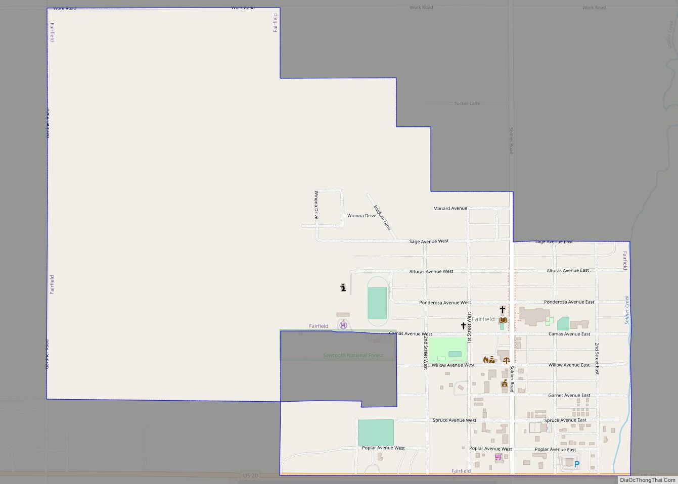
Camas County Road Map
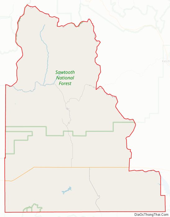
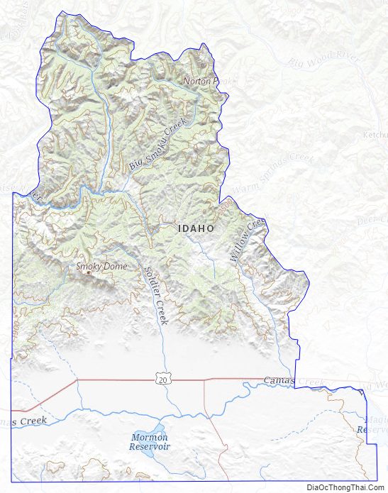
Geography
According to the U.S. Census Bureau, the county has a total area of 1,079 square miles (2,790 km), of which 1,074 square miles (2,780 km) is land and 4.5 square miles (12 km) (1.0%) is water. The highest point is Camas County Highpoint at 10,337 ft (3,151 m), on the county’s northern border with Blaine County.
Adjacent counties
- Blaine County – east
- Lincoln County – southeast
- Gooding County – south
- Elmore County – west
Camas County Topographic Map
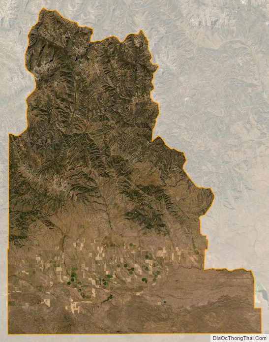
Camas County Satellite Map
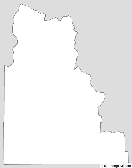
Camas County Outline Map