Gooding is the county seat and largest city of Gooding County, Idaho, United States. The population was 3,567 at the 2010 census.
The city is named for Frank R. Gooding, a local sheep rancher who became a prominent political figure in Idaho in the early 20th century, serving as both Governor of Idaho and a United States Senator. The original name of Gooding was Toponis.
Gooding is home to the Idaho School for the Deaf and the Blind.
The world’s largest factory for barrel cheese, the raw product for processed cheese, is located in Gooding. It has a capacity of 120,000 metric tons per year of barrel cheese and belongs to the Glanbia group. Gooding is also home to Gooding High School and Gooding Middle School.
| Name: | Gooding city |
|---|---|
| LSAD Code: | 25 |
| LSAD Description: | city (suffix) |
| State: | Idaho |
| County: | Gooding County |
| Incorporated: | 1908 |
| Elevation: | 3,573 ft (1,089 m) |
| Total Area: | 1.53 sq mi (3.96 km²) |
| Land Area: | 1.52 sq mi (3.93 km²) |
| Water Area: | 0.01 sq mi (0.03 km²) |
| Total Population: | 3,567 |
| Population Density: | 2,270.09/sq mi (876.50/km²) |
| ZIP code: | 83330 |
| Area code: | 208 |
| FIPS code: | 1632140 |
| GNISfeature ID: | 0399894 |
| Website: | www.goodingidaho.org |
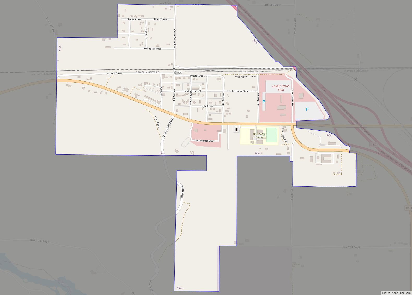
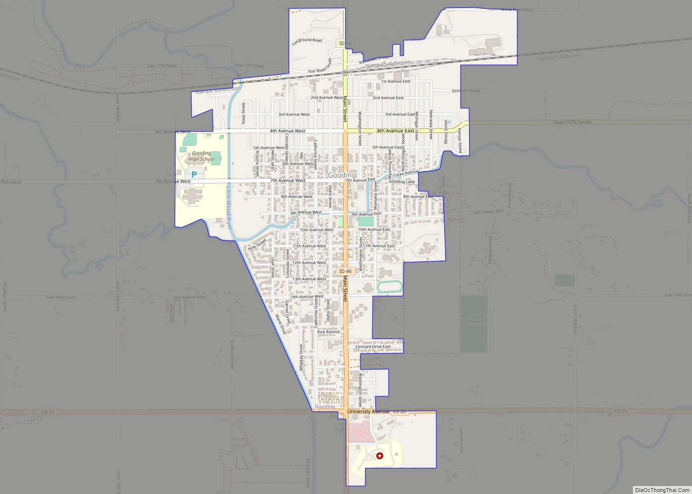
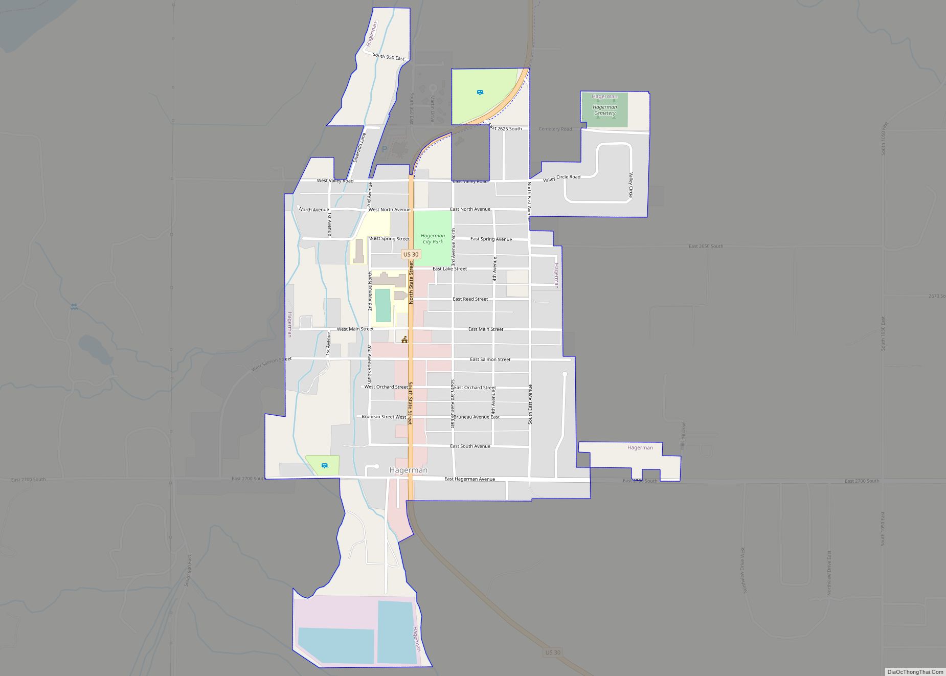
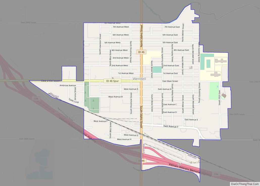
Online Interactive Map
Click on ![]() to view map in "full screen" mode.
to view map in "full screen" mode.
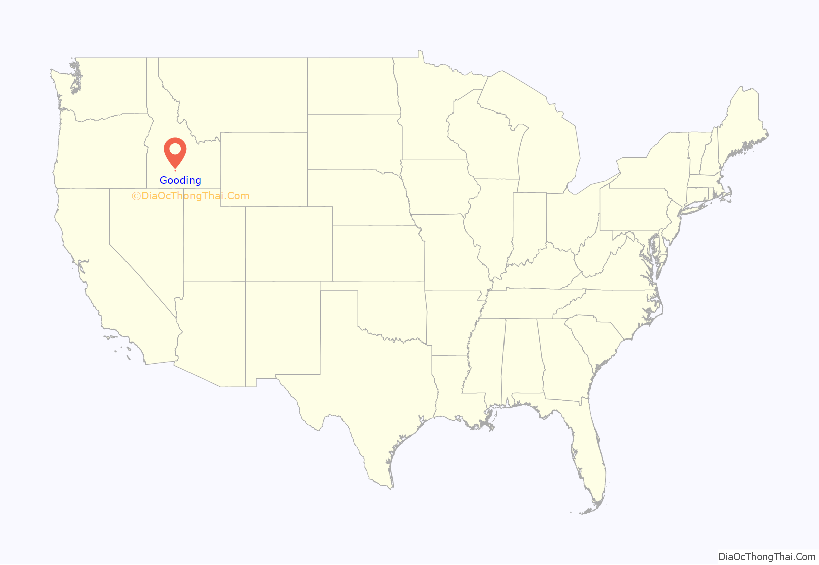
Gooding location map. Where is Gooding city?
Gooding Road Map
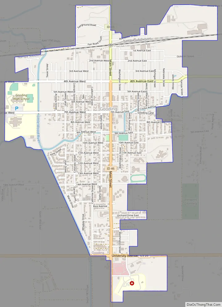
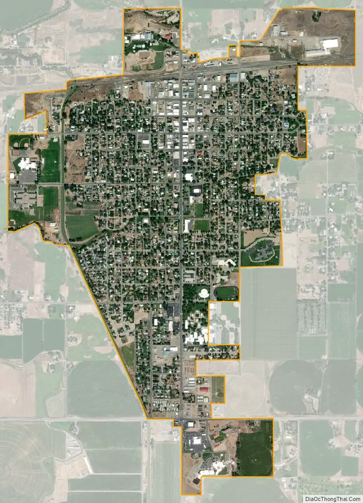
Gooding city Satellite Map
Geography
Gooding is located at 42°56′14″N 114°42′49″W / 42.93722°N 114.71361°W / 42.93722; -114.71361 (42.937097, -114.713480), near the confluence of the Big Wood River and Little Wood River, which merge to form the Malad River.
According to the United States Census Bureau, the city has a total area of 1.49 square miles (3.86 km), of which, 1.48 square miles (3.83 km) is land and 0.01 square miles (0.03 km) is water.
Climate
According to the Köppen climate classification, Gooding has a cold semi arid climate (BSk).
See also
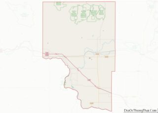
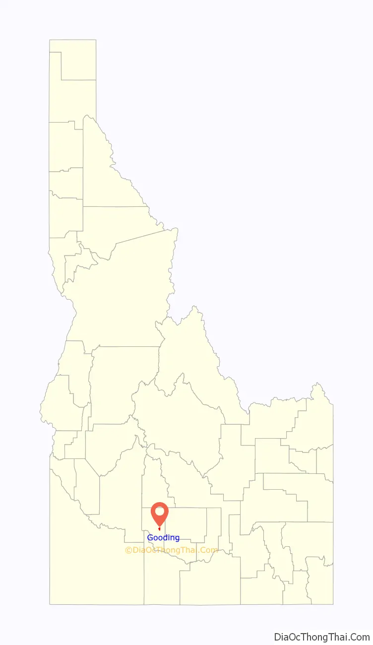
Map of Idaho State and its subdivision:- Ada
- Adams
- Bannock
- Bear Lake
- Benewah
- Bingham
- Blaine
- Boise
- Bonner
- Bonneville
- Boundary
- Butte
- Camas
- Canyon
- Caribou
- Cassia
- Clark
- Clearwater
- Custer
- Elmore
- Franklin
- Fremont
- Gem
- Gooding
- Idaho
- Jefferson
- Jerome
- Kootenai
- Latah
- Lemhi
- Lewis
- Lincoln
- Madison
- Minidoka
- Nez Perce
- Oneida
- Owyhee
- Payette
- Power
- Shoshone
- Teton
- Twin Falls
- Valley
- Washington
- Alabama
- Alaska
- Arizona
- Arkansas
- California
- Colorado
- Connecticut
- Delaware
- District of Columbia
- Florida
- Georgia
- Hawaii
- Idaho
- Illinois
- Indiana
- Iowa
- Kansas
- Kentucky
- Louisiana
- Maine
- Maryland
- Massachusetts
- Michigan
- Minnesota
- Mississippi
- Missouri
- Montana
- Nebraska
- Nevada
- New Hampshire
- New Jersey
- New Mexico
- New York
- North Carolina
- North Dakota
- Ohio
- Oklahoma
- Oregon
- Pennsylvania
- Rhode Island
- South Carolina
- South Dakota
- Tennessee
- Texas
- Utah
- Vermont
- Virginia
- Washington
- West Virginia
- Wisconsin
- Wyoming