Grayson County is a county located in the U.S. state of Kentucky. As of the 2020 census, the population was 26,420. Its county seat is Leitchfield. The county was formed in 1810 and named for William Grayson (1740-1790), a Revolutionary War colonel and a prominent Virginia political figure. Grayson County was formerly a prohibition or dry county, but Leitchfield allowed limited alcohol sales in restaurants in 2010 and voted “wet” in 2016.
| Name: | Grayson County |
|---|---|
| FIPS code: | 21-085 |
| State: | Kentucky |
| Founded: | 1810 |
| Named for: | William Grayson |
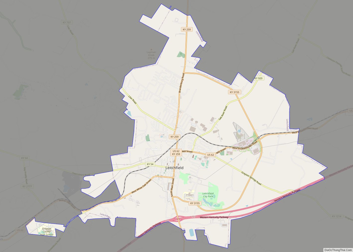
| Seat: | Leitchfield |
| Largest city: | Leitchfield |
| Total Area: | 511 sq mi (1,320 km²) |
| Land Area: | 497 sq mi (1,290 km²) |
| Total Population: | 26,420 |
| Population Density: | 52/sq mi (20/km²) |
| Time zone: | UTC−6 (Central) |
| Summer Time Zone (DST): | UTC−5 (CDT) |
| Website: | graysoncountyky.gov |
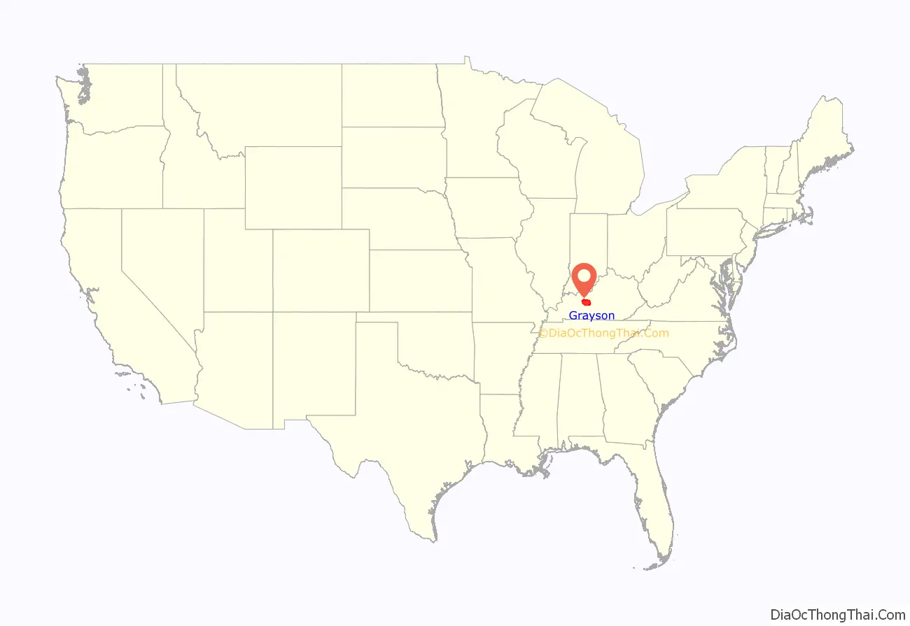
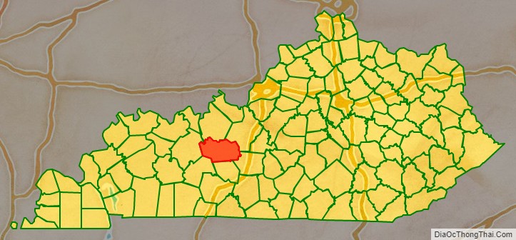
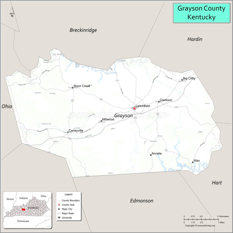
Grayson County location map. Where is Grayson County?
History
Grayson County was established in 1810 from land taken from Hardin and Ohio counties. The county is named for William Grayson (1740-1790), a Revolutionary War colonel and U.S. Senator from Virginia.
Three courthouses have been destroyed through fire; in 1864 by Confederate troops, and again in 1896 and 1936.
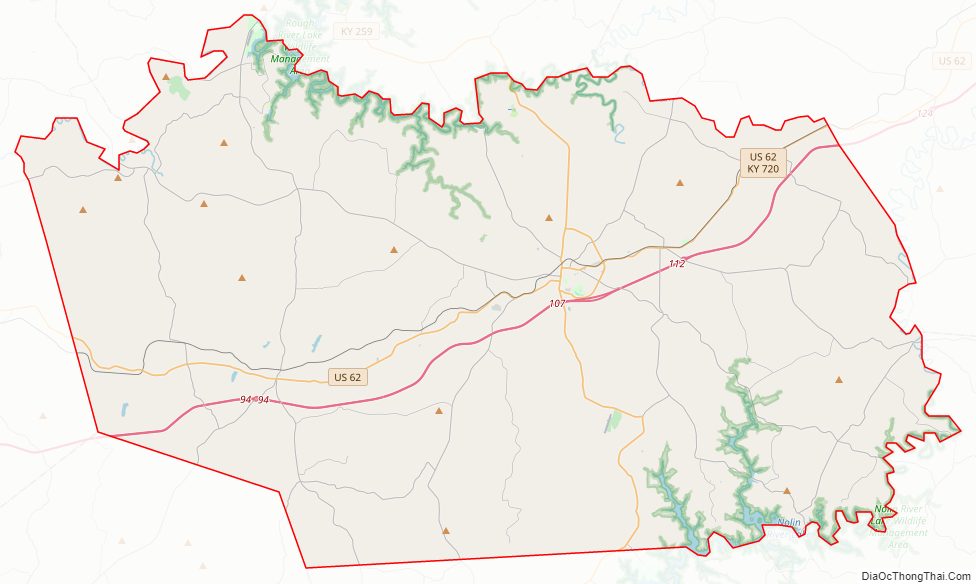
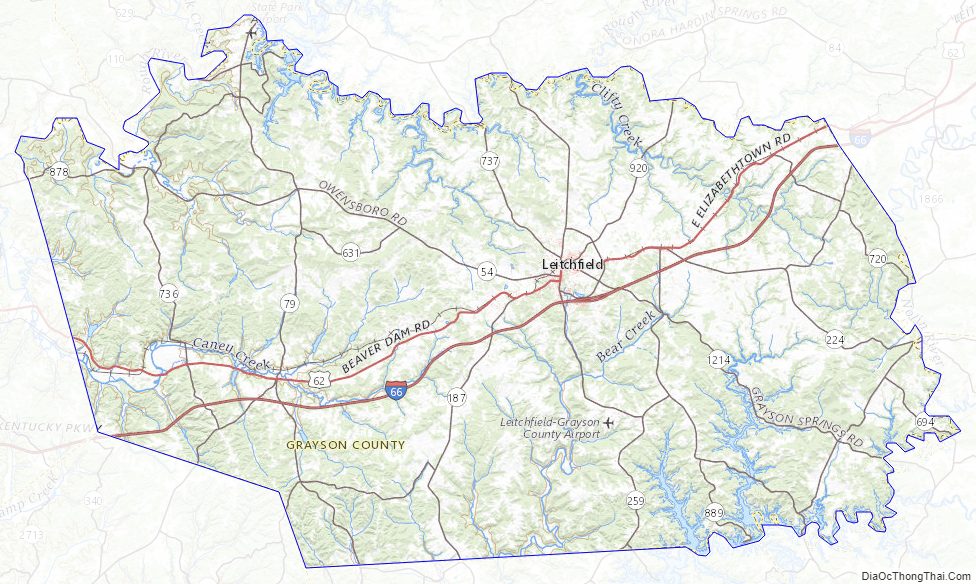
Grayson County Road Map
Geography
According to the United States Census Bureau, the county has a total area of 511 square miles (1,320 km), of which 497 square miles (1,290 km) is land and 14 square miles (36 km) (2.8%) is water.
Grayson County is part of the Western Coal Field region of Kentucky. Only the western third of the county has coal; the rest lies in the Clifty Area, which has similar sandstone bedrock, some of it bituminous but never commercially exploited as tar sands or rock asphalt. The county lies in the Rough Creek Fault System, considered a potential hydrocarbon resource.
Grayson County is home to two U.S. Army Corps of Engineers lakes, Rough River Lake on the northern border of the county and Nolin River Lake on the southeast border. The lakes attract many tourists and have led to the use of “Twin Lakes” to identify some businesses and institutions, such as the Owensboro Health Twin Lakes Medical Center in Leitchfield.
Adjacent counties
- Breckinridge County (north)
- Hardin County (northeast/EST Border)
- Hart County (southeast)
- Edmonson County (south)
- Butler County (southwest)
- Ohio County (west)
Grayson County Topographic Map
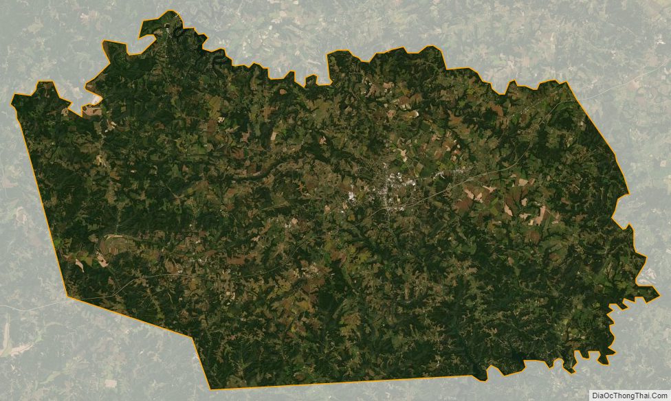
Grayson County Satellite Map
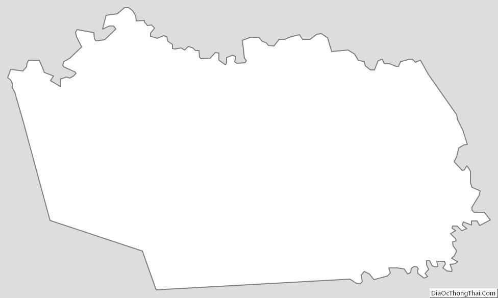
Grayson County Outline Map