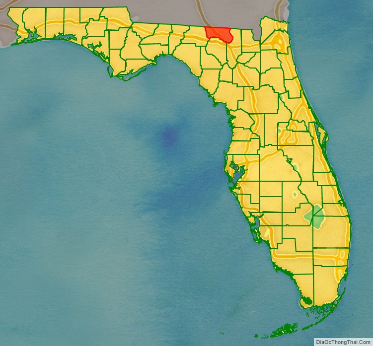
Hamilton County is a county located in the north central portion of the U.S. state of Florida. As of the 2020 census, the population was 14,004, down from 14,799 at the 2010 census. Its county seat is Jasper.
| Name: | Hamilton County |
|---|---|
| FIPS code: | 12-047 |
| State: | Florida |
| Founded: | December 26, 1827 |
| Named for: | Alexander Hamilton |
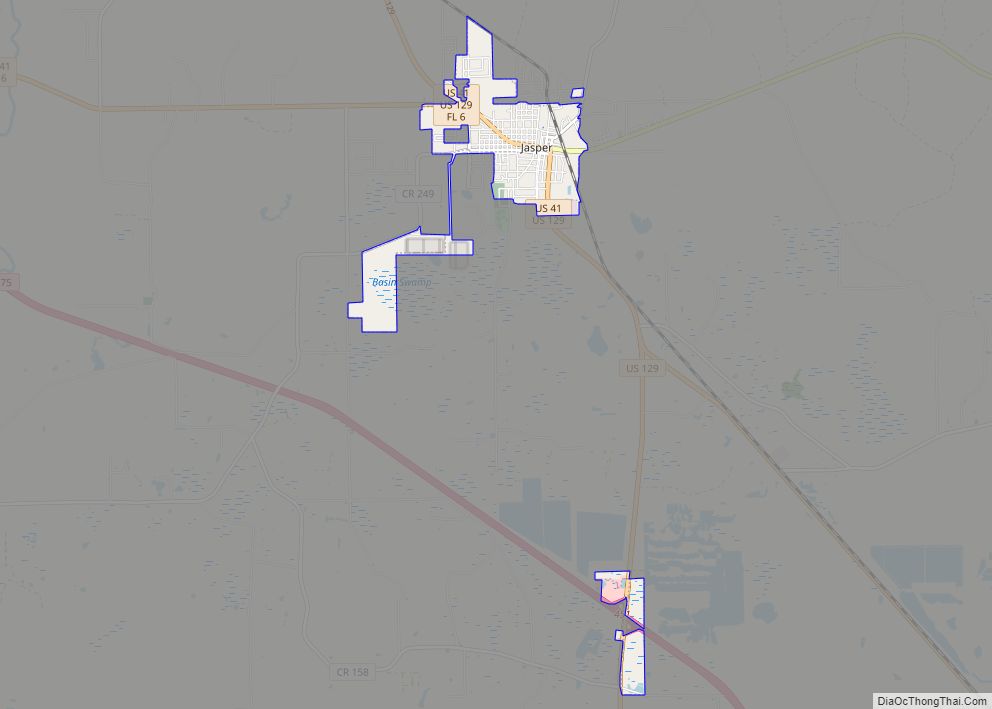
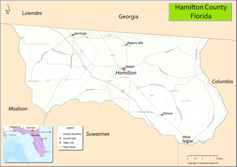
| Seat: | Jasper |
| Largest city: | Jasper |
| Total Area: | 519 sq mi (1,340 km²) |
| Land Area: | 514 sq mi (1,330 km²) |
| Total Population: | 14,004 |
| Population Density: | 29/sq mi (11/km²) |
| Time zone: | UTC−5 (Eastern) |
| Summer Time Zone (DST): | UTC−4 (EDT) |
| Website: | www.hamiltoncountyfl.com |
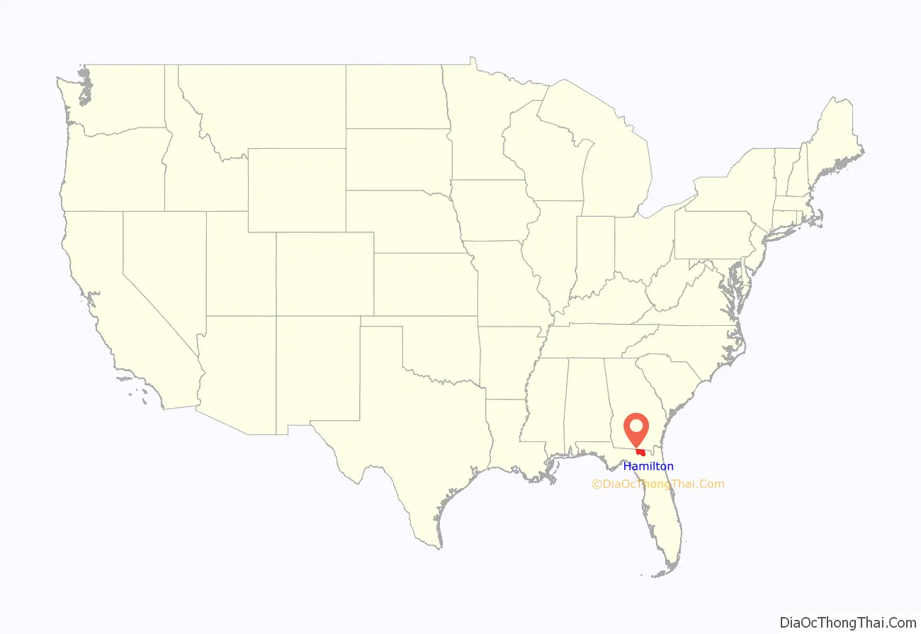
Hamilton County location map. Where is Hamilton County?
History
Hamilton County was created in 1827 from portions of Jefferson County. It was named for Alexander Hamilton, first United States Secretary of the Treasury.
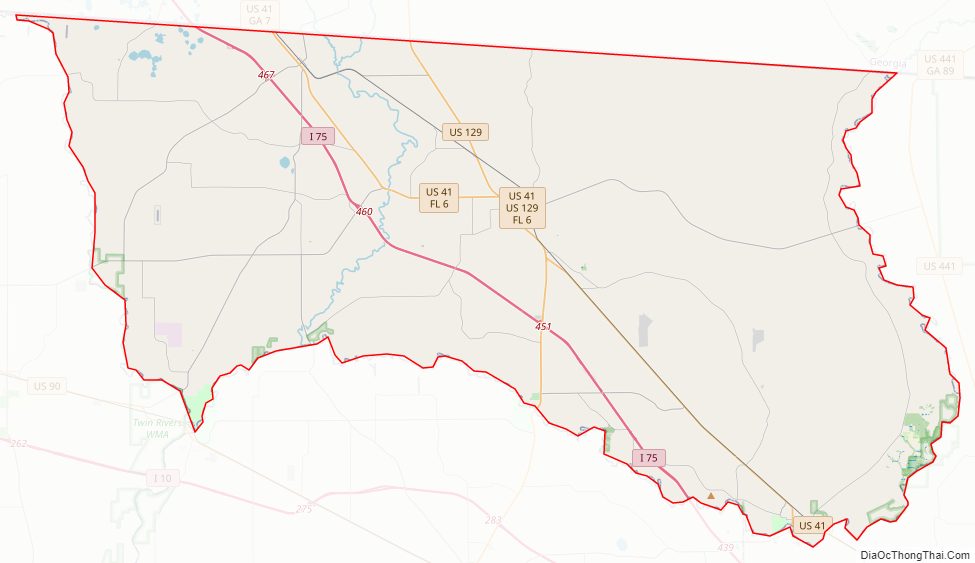
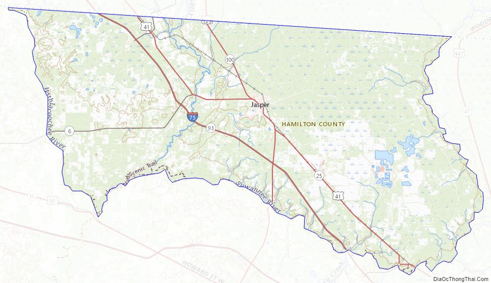
Hamilton County Road Map
Geography
According to the U.S. Census Bureau, the county has a total area of 519 square miles (1,340 km), of which 514 square miles (1,330 km) is land and 5.3 square miles (14 km) (1.0%) is water. It is the only county in Florida entirely north of Interstate 10.
Adjacent counties
- Echols County, Georgia – north
- Columbia County – east
- Suwannee County – south
- Madison County – west
- Lowndes County, Georgia – northwest
Major Highway
- Interstate 75
- U.S. Route 41
- U.S. Route 129
- State Road 6
- State Road 100
- State Road 136
- State Road 143
Hamilton County Topographic Map
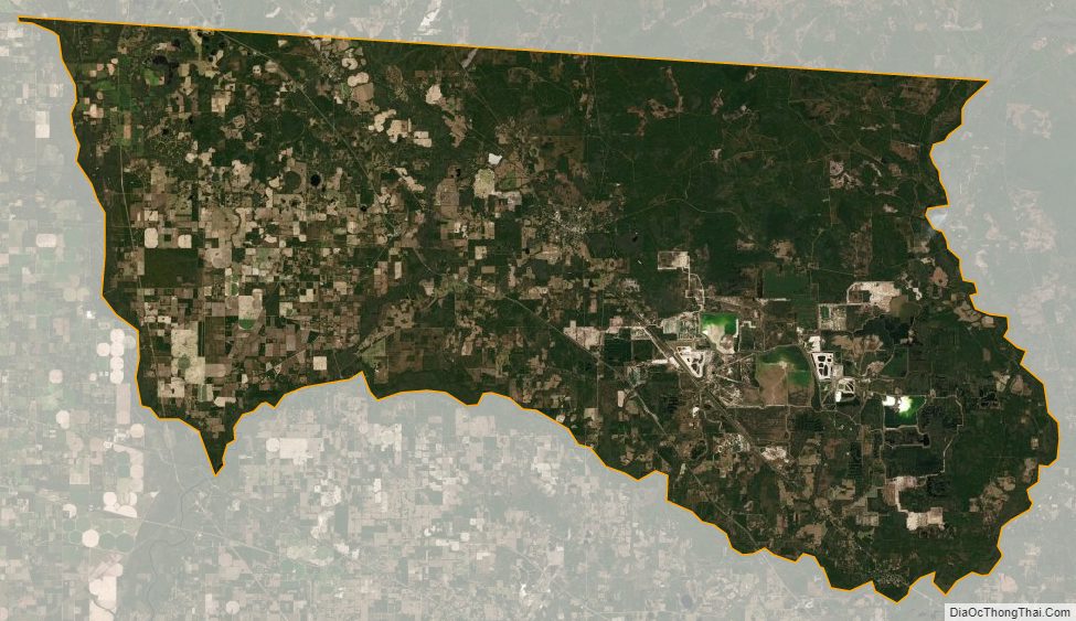
Hamilton County Satellite Map
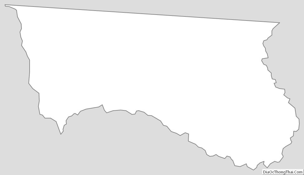
Hamilton County Outline Map