White Springs is a town in northern Florida on the Suwannee River. The population was 777 at the 2010 census, down from 819 at the 2000 census. Home of the annual Florida Folk Festival, it is a tourist destination noted for historic charm, antique shops and river recreation.
| Name: | White Springs town |
|---|---|
| LSAD Code: | 43 |
| LSAD Description: | town (suffix) |
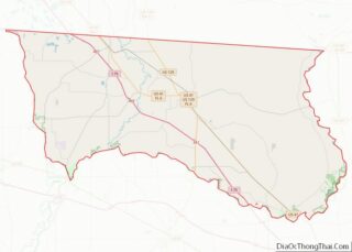
| State: | Florida |
| County: | Hamilton County |
| Incorporated: | 1885 |
| Elevation: | 112 ft (34 m) |
| Total Area: | 1.83 sq mi (4.74 km²) |
| Land Area: | 1.83 sq mi (4.74 km²) |
| Water Area: | 0.00 sq mi (0.01 km²) |
| Total Population: | 740 |
| Population Density: | 404.59/sq mi (156.22/km²) |
| ZIP code: | 32096 |
| Area code: | 386 |
| FIPS code: | 1277400 |
| GNISfeature ID: | 0293230 |
| Website: | www.whitesprings.org |
Online Interactive Map
Click on ![]() to view map in "full screen" mode.
to view map in "full screen" mode.
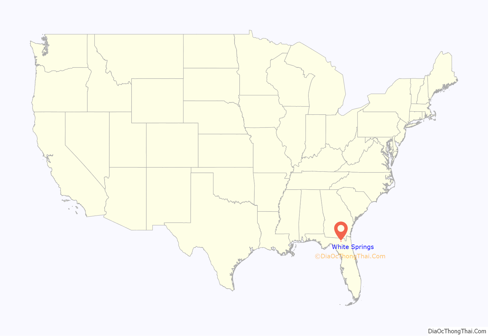
White Springs location map. Where is White Springs town?

History
The Suwannee River was once the boundary between the Timucuan peoples to the east and the Apalachee people to the west. When Spanish explorers visited the area in the 1530s, the spring was visited by natives from both sides of the river, who believed the water possessed healing powers. The Indians considered the spring a sacred healing ground, and used it even in times of war; any tribe member could bathe and drink the mineral waters without fear of being attacked. The spring water has a “rotten egg” sulfur smell that comes from dissolved hydrogen sulfide gas.
The settlement was incorporated in 1831 as “Jackson Springs” by businessmen Joseph Bryant, James T. Hooker, his brother William B. Hooker, John Lee, and James D. Prevatt. In addition to the spring, they planned to build a ferry across the Suwannee River.
The following year, Bryant Sheffield purchased the ferry operation rights and the spring, then known as “White Sulpher [sic] Springs”. Sheffield drank the mineral waters and touted their ability to cure nervousness, kidney troubles, and rheumatism, among other problems. In 1842, he constructed a hotel and spring house from local timber.
During the Civil War, some Confederate soldiers found refuge in the town from Union troops. The family of future governor Napoleon Bonaparte Broward, whose Jacksonville farm was burned by Union forces, moved to a nearby farm which they named “Rebel’s Refuge”. At some point, the springs were renamed “White Sulphur Springs”.
Following the Civil War, the tourist business slowly returned. In 1882, the Georgia merchants Wight and Powell purchased the property and platted city lots. They sold parcels to other retailers to open businesses catering to plantations and resorts around the spring. Crowds of health seekers arrived, first by stagecoach and then railroad. White Springs was incorporated in 1885. Hotels and boarding houses popped up; a cotton gin attracted buyers and sellers; and fashionable clothing and hats were offered for sale. Leisure activities included ballroom dancing, lawn tennis, and skating.
In 1903, the spring was enclosed by concrete and coquina walls that included multiple water gates and galleries to prevent water intrusion from river flooding. A four-story wooden bathhouse was constructed around the spring. The structure was designed by the Jacksonville architectural firm McClure & Holmes for owner Minnie Mosher Jackson, and included doctors’ offices for patient examination and treatment, dressing rooms, space for concessions, and an elevator. At the time, water flow was calculated at 32,400 gallons per minute, or nearly 47 million gallons per day.
During the 1930s, bathing in mineral springs fell out of favor in the United States and the town began to fade. In 1950, the Stephen Foster Memorial Museum opened to commemorate songwriter Stephen Foster, composer of the world-renowned song of the Suwannee River, “Old Folks at Home”. The museum is surrounded by formal gardens which extend to the banks of the Suwannee River. A carillon containing the world’s largest set of tubular bells, opened in 1957 and plays Foster’s songs throughout the day. The facility is a Florida State Park.
Through the 1980s, water flow at the spring declined to the point when it ceased flowing in 1990. The ex-mayor of White Springs, Dr. Helen Miller, was vice chairman of Florida Leaders Organized for Water (FLOW), a group which proposed the Floridan Aquifer Sustainability Act of 2013. The legislation seeks to restore the Floridan aquifer to 1980 levels.
In 2022, a neo-pagan religion known as the Asatru Folk Assembly (AFA) dedicated a Viking neo-pagan temple in White Springs. The temple is dedicated to the Viking god Njord and is called “Njordshof” which means “Njord’s temple” in Old Norse, the language of the Vikings.
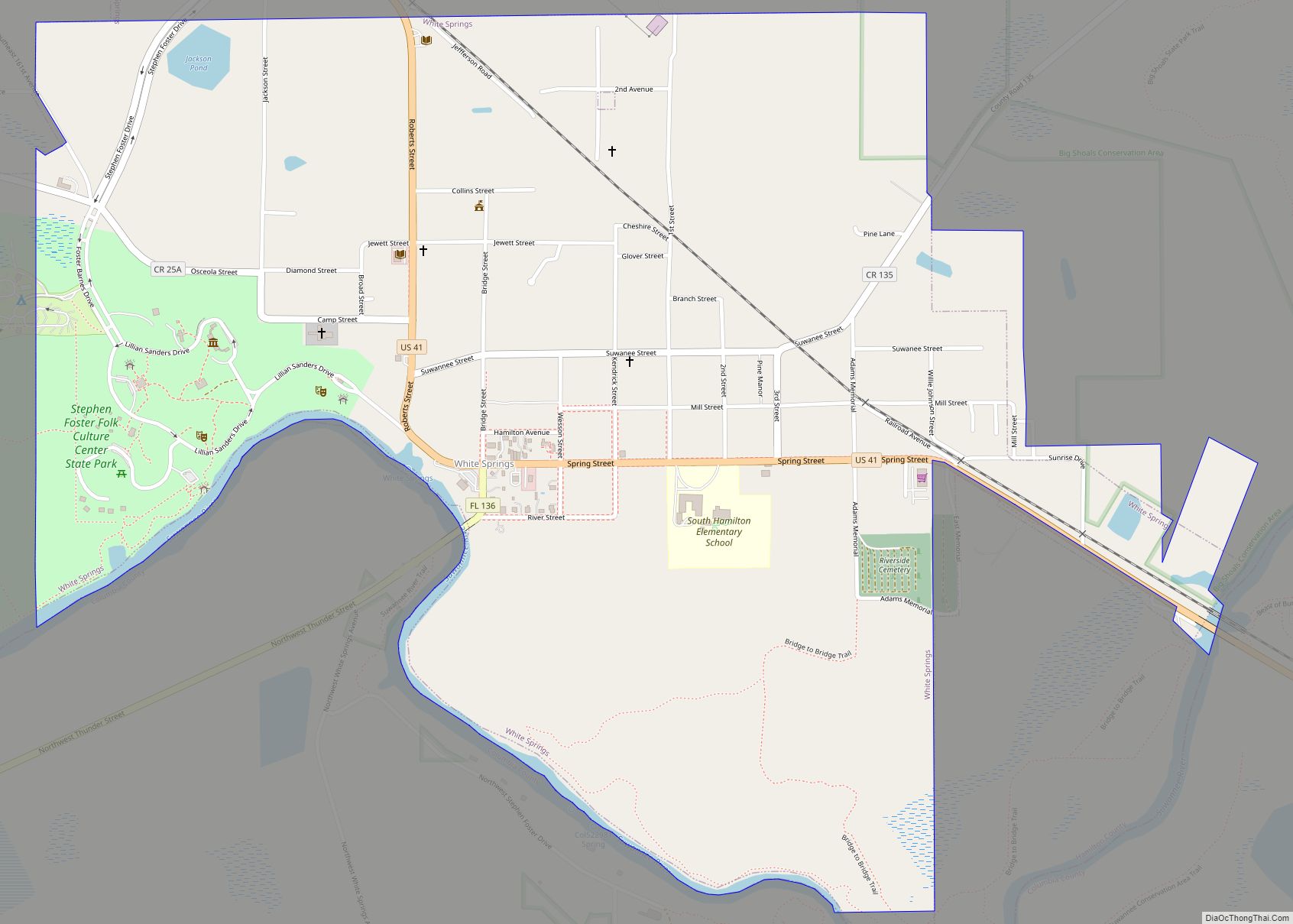
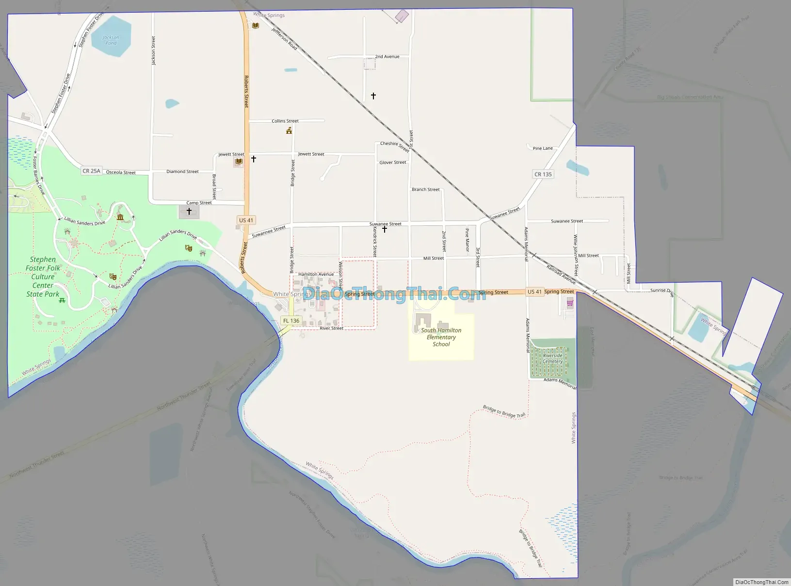
White Springs Road Map
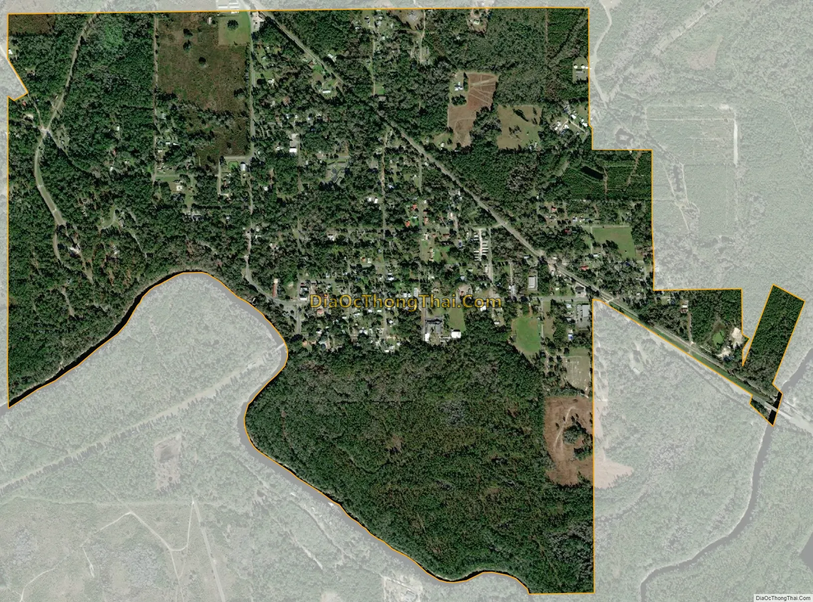
White Springs city Satellite Map
Geography
White Springs is located in southeastern Hamilton County at 30°19′54″N 82°45′22″W / 30.33167°N 82.75611°W / 30.33167; -82.75611 (30.331647, –82.756008). Its southern boundary follows the Suwannee River, which forms the border with Columbia County.
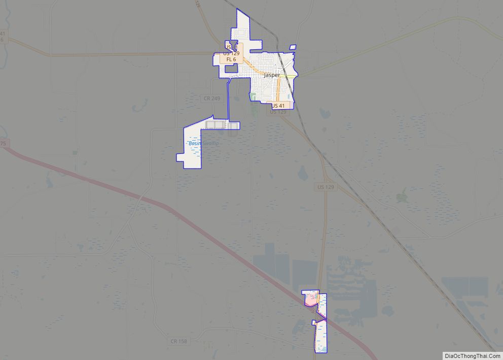
The town is crossed by U.S. Route 41 (SR 25 and 100) and SR 136. US 41 leads northwest 17 miles (27 km) to Jasper, the Hamilton County seat, and southeast 12 miles (19 km) to Lake City. SR 136 leads west 3 miles (5 km) to Interstate 75.
According to the United States Census Bureau, the town has a total area of 1.9 square miles (4.8 km), of which 56,330 square feet (5,233 m), or 0.11%, are water.
Climate
See also
Map of Florida State and its subdivision:- Alachua
- Baker
- Bay
- Bradford
- Brevard
- Broward
- Calhoun
- Charlotte
- Citrus
- Clay
- Collier
- Columbia
- Desoto
- Dixie
- Duval
- Escambia
- Flagler
- Franklin
- Gadsden
- Gilchrist
- Glades
- Gulf
- Hamilton
- Hardee
- Hendry
- Hernando
- Highlands
- Hillsborough
- Holmes
- Indian River
- Jackson
- Jefferson
- Lafayette
- Lake
- Lee
- Leon
- Levy
- Liberty
- Madison
- Manatee
- Marion
- Martin
- Miami-Dade
- Monroe
- Nassau
- Okaloosa
- Okeechobee
- Orange
- Osceola
- Palm Beach
- Pasco
- Pinellas
- Polk
- Putnam
- Saint Johns
- Saint Lucie
- Santa Rosa
- Sarasota
- Seminole
- Sumter
- Suwannee
- Taylor
- Union
- Volusia
- Wakulla
- Walton
- Washington
- Alabama
- Alaska
- Arizona
- Arkansas
- California
- Colorado
- Connecticut
- Delaware
- District of Columbia
- Florida
- Georgia
- Hawaii
- Idaho
- Illinois
- Indiana
- Iowa
- Kansas
- Kentucky
- Louisiana
- Maine
- Maryland
- Massachusetts
- Michigan
- Minnesota
- Mississippi
- Missouri
- Montana
- Nebraska
- Nevada
- New Hampshire
- New Jersey
- New Mexico
- New York
- North Carolina
- North Dakota
- Ohio
- Oklahoma
- Oregon
- Pennsylvania
- Rhode Island
- South Carolina
- South Dakota
- Tennessee
- Texas
- Utah
- Vermont
- Virginia
- Washington
- West Virginia
- Wisconsin
- Wyoming