Echols County (/ˈɛkʊz/) is a county located in the southeastern part of the U.S. state of Georgia. As of the 2020 census, the population was 3,697. The county seat is Statenville. Statenville is a disincorporated municipality. Echols and Webster counties are the only two counties in Georgia to currently have no incorporated municipalities. The county was established in 1858 and named in honor of Robert Milner Echols (1798–1847).
Echols County is part of the Valdosta, GA Metropolitan Statistical Area.
| Name: | Echols County |
|---|---|
| FIPS code: | 13-101 |
| State: | Georgia |
| Founded: | 1858 |
| Named for: | Robert Milner Echols |
| Seat: | Statenville |
| Total Area: | 421 sq mi (1,090 km²) |
| Land Area: | 415 sq mi (1,070 km²) |
| Total Population: | 3,697 |
| Population Density: | 9/sq mi (3/km²) |
| Time zone: | UTC−5 (Eastern) |
| Summer Time Zone (DST): | UTC−4 (EDT) |
| Website: | echolscountyga.com |
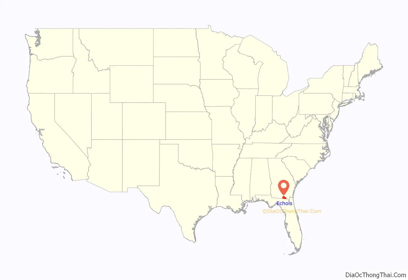
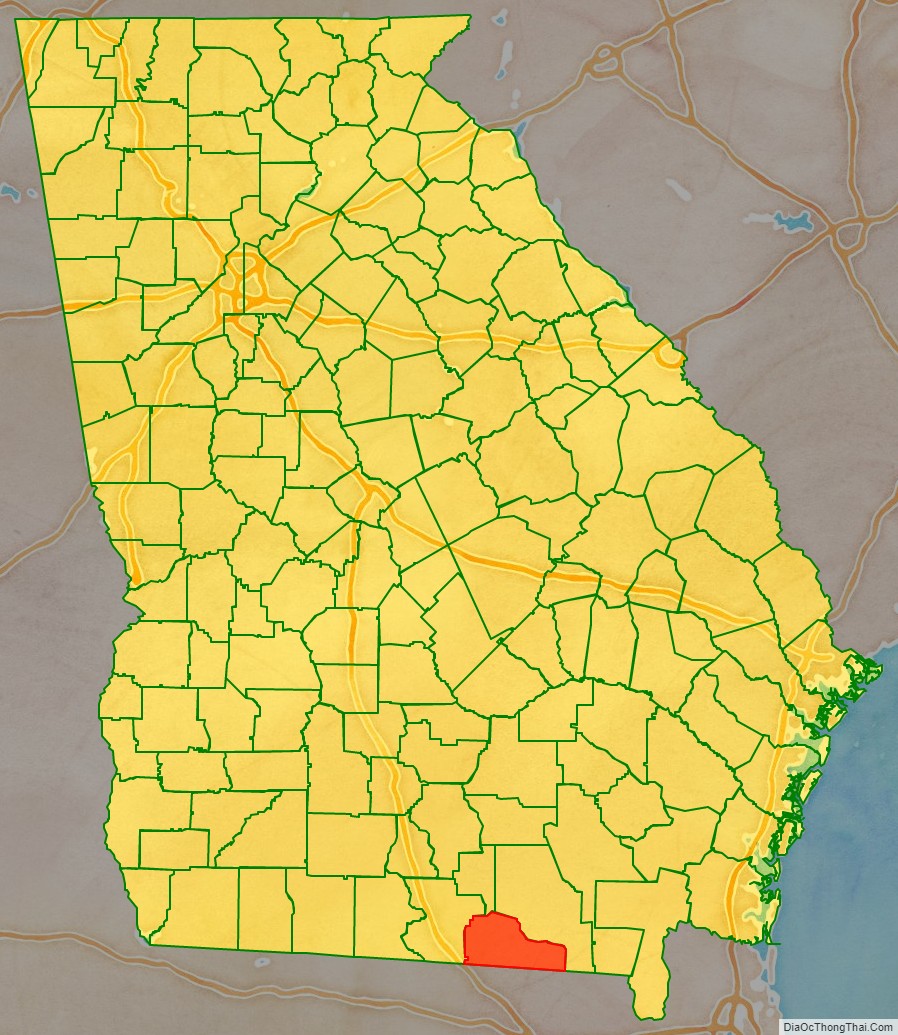
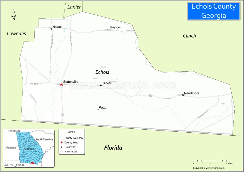
Echols County location map. Where is Echols County?
History
On December 13, 1858, the Georgia General Assembly passed a bill establishing Echols County from a south-eastern section of Lowndes County and a south-western section Clinch County. The original borders of the county were a line from the mouth of the Suwanoochee Creek directly south to the state line, then along the state line, then north to the junction of Grand Bay Creek and Mud Swamp, then up the course of Grand Bay Creek to Carter’s Ford, then a direct line to where Cow’s Creek enters the Alapaha River, then up the creek to Griffins’ Mill, then a direct line to Jack’s Fort on Suwanoochee Creek, and then down Suwanoochee Creek to its mouth. With the exception of some minor adjustments of the border Echols shares with Lowndes and the loss of a thin strip to Florida following Florida v. Georgia, the borders of Echols County has changed little since its establishment. Statenville was declared the county seat in 1859.
At the time of the 1860 census, Echols County had a white population of 1,177, with 314 slaves, and no free people of color.
Echols County became notable as it has served as a place of banishment for many of Georgia’s criminals. As the Georgia State Constitution forbids banishment beyond the borders of the state, officials instead ban the offender from 158 of Georgia’s 159 counties, with Echols remaining as their only option. Few criminals have been documented as actually moving to Echols. This is because almost all banished criminals choose to leave the state instead of moving to Echols County.
Banishment, including 158-county banishment, has repeatedly been upheld by Georgia courts. The first case when banishment was upheld was in the 1974 case State v Collett, when the Georgia Supreme Court upheld the banishment of a drug dealer from seven counties. The most recent time banishment was upheld, in 2011, the Georgia Supreme Court ruled it was constitutional to banish David Nathan Thompson (a mentally ill man who was convicted of firing a gun into a home, although no one was injured) from all but one county in Georgia.
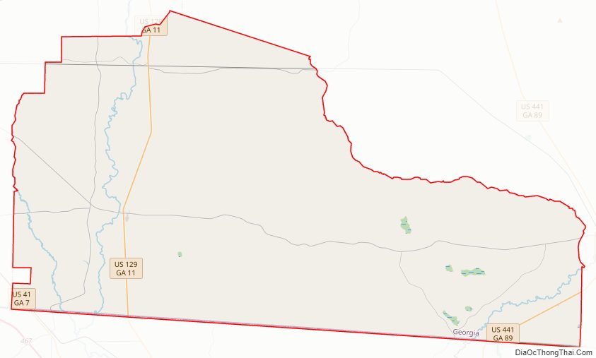
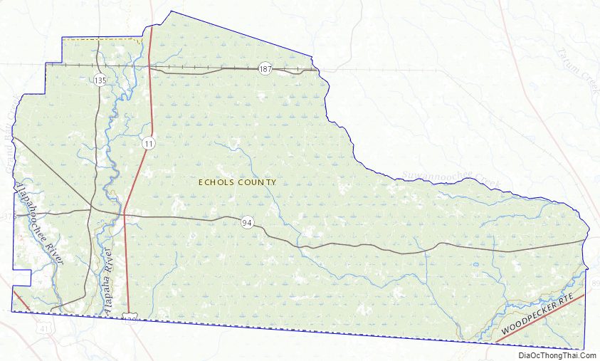
Echols County Road Map
Geography
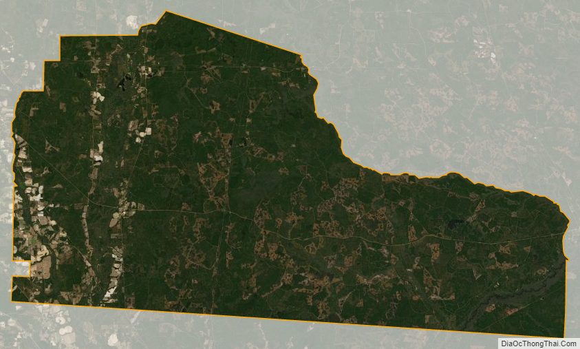
According to the U.S. Census Bureau, the county has a total area of 421 square miles (1,090 km), of which 415 square miles (1,070 km) is land and 5.8 square miles (15 km) (1.4%) is water. The county contains a notable swamp, Whitehead Bay.
The western half of Echols County is located in the Alapaha River sub-basin of the Suwannee River basin. The eastern half of the county, from well east of Statenville to just west of Fargo, is located in the Upper Suwannee River sub-basin of the same Suwannee River basin.
Major highways
- U.S. Route 41
- U.S. Route 129
- U.S. Route 441
- State Route 7
- State Route 11
- State Route 89
- State Route 94
- State Route 135
- State Route 187
- State Route 376
Major waterways
- Alapaha River
- Alapahoochee River
- Grand Bay Creek (known in the 1800s as Irwin’s River and later as Irwin’s Creek)
- Suwannee River
- Suwanoochee Creek
Railways
- Georgia Southern and Florida Railway
- Seaboard Coast Line Railroad
- Plant System (now part of CSX)
- Statenville Railway (Defunct, it was used from 1910 to 1924. It ran from Statenville to Haylow, Georgia)
Adjacent counties
- Clinch County – northeast
- Columbia County, Florida – southeast
- Hamilton County, Florida – south
- Lowndes County – west
- Lanier County – north
Echols County Topographic Map
Echols County Satellite Map
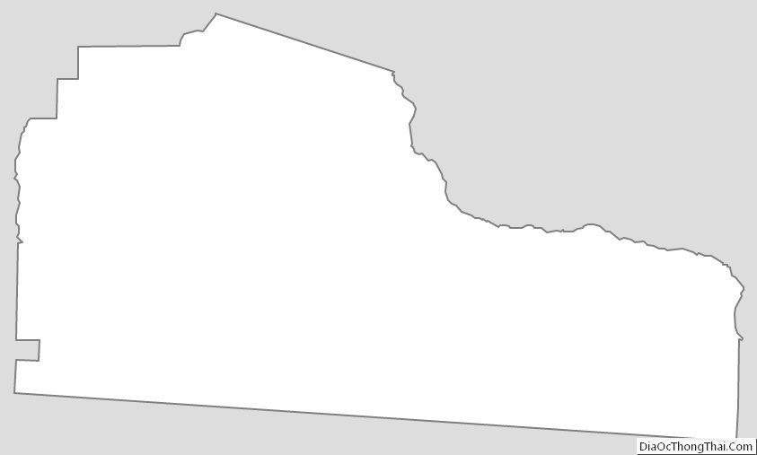
Echols County Outline Map