Jennings is a town in Hamilton County, Florida, United States. The population was 878 at the 2010 census, up from 833 at the 2000 census. Actor Andrew Prine was born here.
| Name: | Jennings town |
|---|---|
| LSAD Code: | 43 |
| LSAD Description: | town (suffix) |
| State: | Florida |
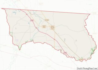
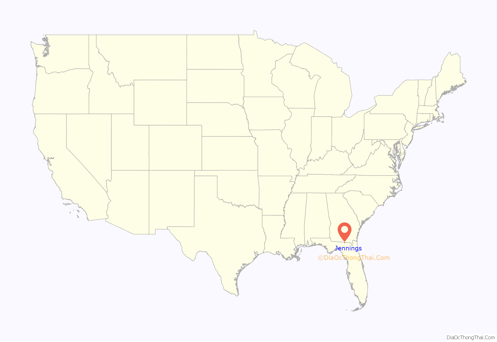
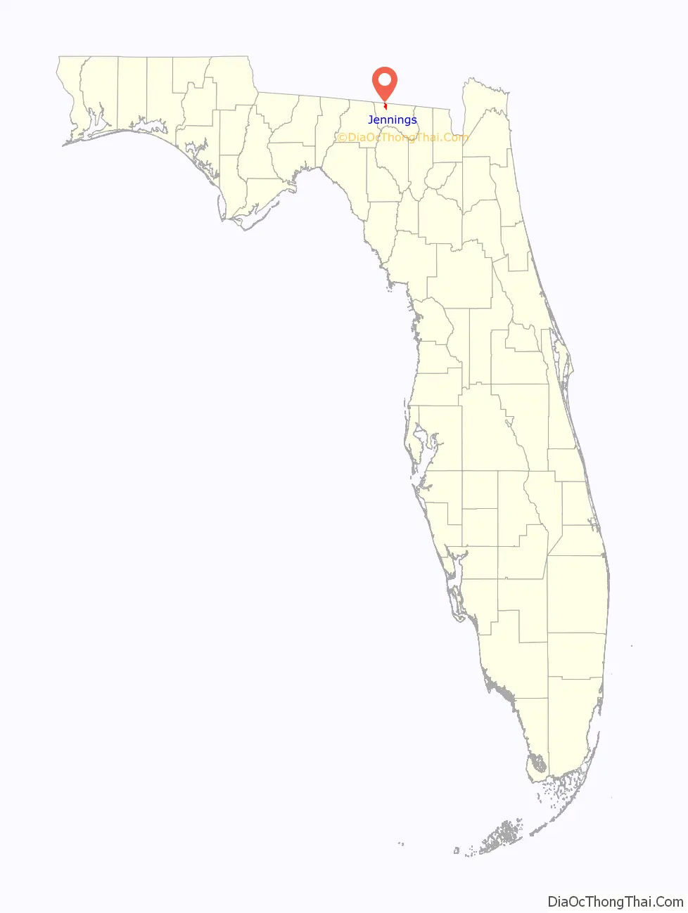
| County: | Hamilton County |
| Elevation: | 141 ft (43 m) |
| Total Area: | 2.91 sq mi (7.54 km²) |
| Land Area: | 2.91 sq mi (7.54 km²) |
| Water Area: | 0.00 sq mi (0.00 km²) |
| Total Population: | 878 |
| Population Density: | 299.69/sq mi (115.73/km²) |
| ZIP code: | 32053 |
| Area code: | 386 |
| FIPS code: | 1235525 |
| GNISfeature ID: | 284753 |
Online Interactive Map
Click on ![]() to view map in "full screen" mode.
to view map in "full screen" mode.
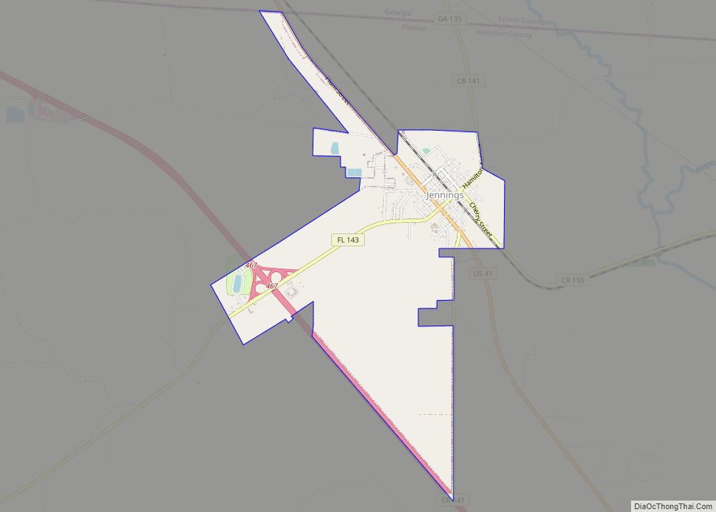
Jennings location map. Where is Jennings town?
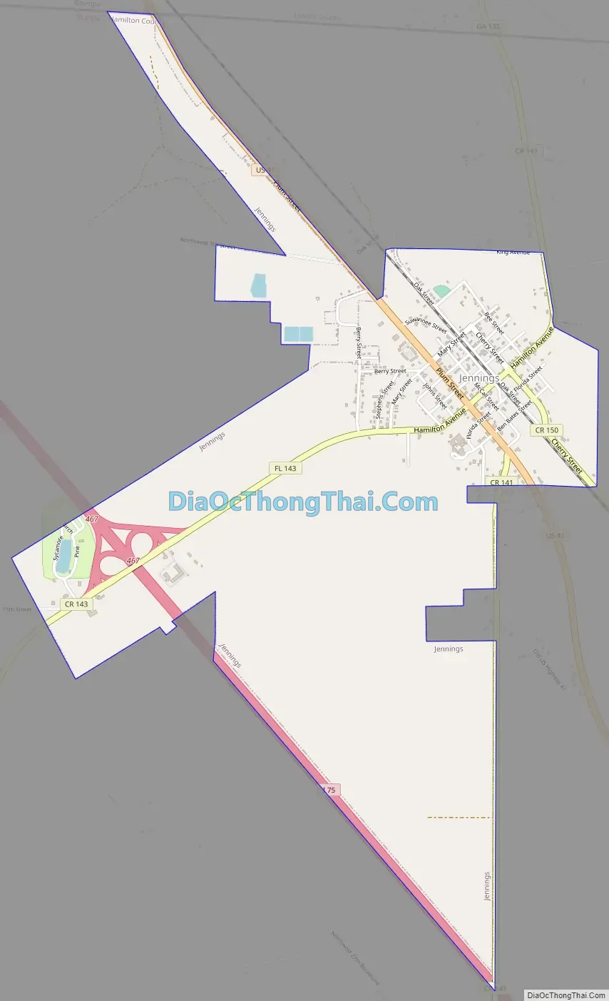
Jennings Road Map
Jennings city Satellite Map

Geography
Jennings is located in northwestern Hamilton County at 30°36′15″N 83°05′53″W / 30.60417°N 83.09806°W / 30.60417; -83.09806 (30.6041015, -83.0979184). U.S. Route 41 passes through the town as Plum Street, leading southeast 12 miles (19 km) to Jasper, the county seat, and northwest 8 miles (13 km) to Lake Park, Georgia. Interstate 75 runs along the southwest border of the town, with access from Exit 467 (Hamilton Avenue). I-75 leads southeast 32 miles (51 km) to Interstate 10 near Lake City, Florida, and northwest 20 miles (32 km) to Valdosta, Georgia.
According to the United States Census Bureau, the town of Jennings has a total area of 2.9 square miles (7.5 km), all land.
Jennings city limit sign
Image of the entire surface water flow of the Alapaha River near Jennings, Florida going into a sinkhole leading to the Floridan Aquifer groundwater
See also
Map of Florida State and its subdivision:- Alachua
- Baker
- Bay
- Bradford
- Brevard
- Broward
- Calhoun
- Charlotte
- Citrus
- Clay
- Collier
- Columbia
- Desoto
- Dixie
- Duval
- Escambia
- Flagler
- Franklin
- Gadsden
- Gilchrist
- Glades
- Gulf
- Hamilton
- Hardee
- Hendry
- Hernando
- Highlands
- Hillsborough
- Holmes
- Indian River
- Jackson
- Jefferson
- Lafayette
- Lake
- Lee
- Leon
- Levy
- Liberty
- Madison
- Manatee
- Marion
- Martin
- Miami-Dade
- Monroe
- Nassau
- Okaloosa
- Okeechobee
- Orange
- Osceola
- Palm Beach
- Pasco
- Pinellas
- Polk
- Putnam
- Saint Johns
- Saint Lucie
- Santa Rosa
- Sarasota
- Seminole
- Sumter
- Suwannee
- Taylor
- Union
- Volusia
- Wakulla
- Walton
- Washington
- Alabama
- Alaska
- Arizona
- Arkansas
- California
- Colorado
- Connecticut
- Delaware
- District of Columbia
- Florida
- Georgia
- Hawaii
- Idaho
- Illinois
- Indiana
- Iowa
- Kansas
- Kentucky
- Louisiana
- Maine
- Maryland
- Massachusetts
- Michigan
- Minnesota
- Mississippi
- Missouri
- Montana
- Nebraska
- Nevada
- New Hampshire
- New Jersey
- New Mexico
- New York
- North Carolina
- North Dakota
- Ohio
- Oklahoma
- Oregon
- Pennsylvania
- Rhode Island
- South Carolina
- South Dakota
- Tennessee
- Texas
- Utah
- Vermont
- Virginia
- Washington
- West Virginia
- Wisconsin
- Wyoming