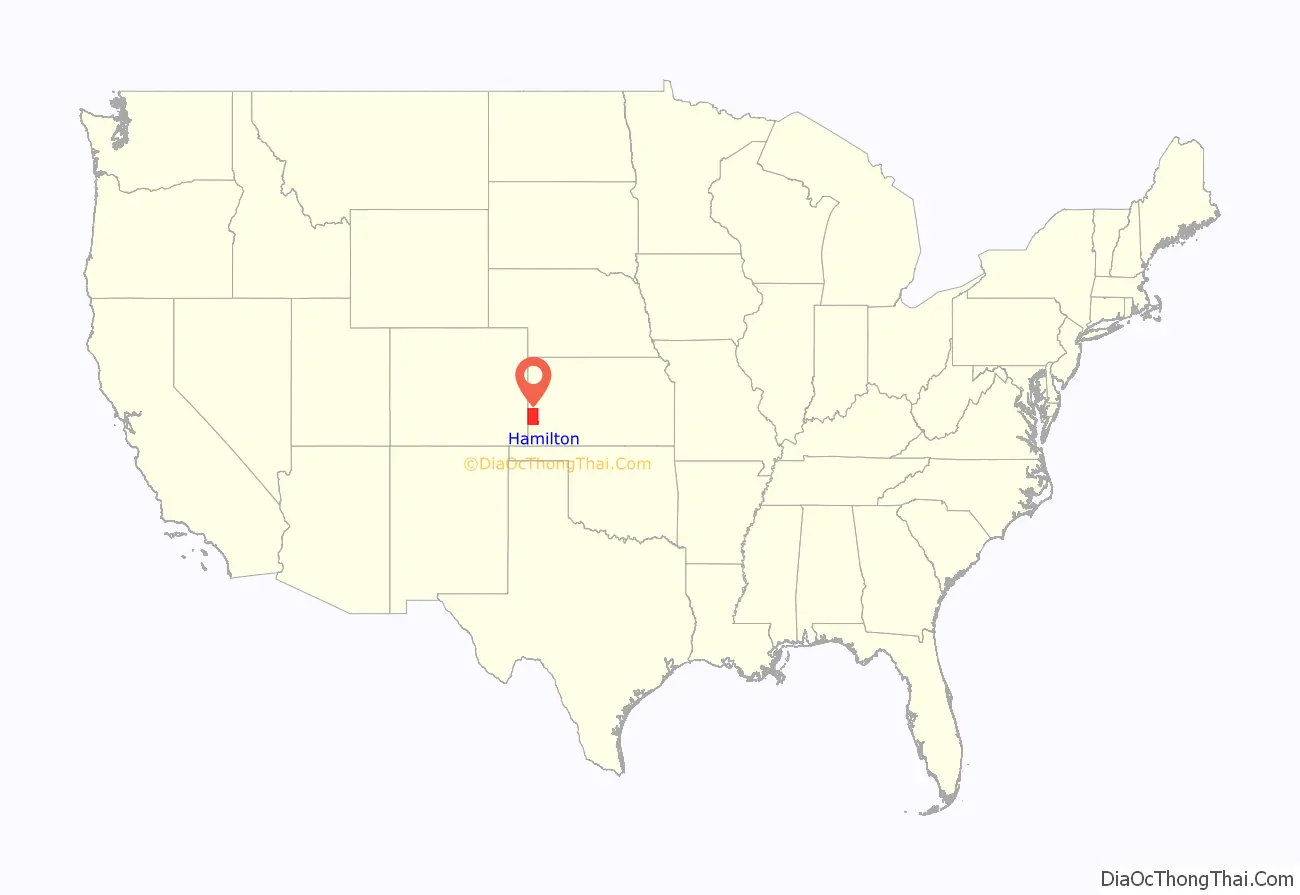
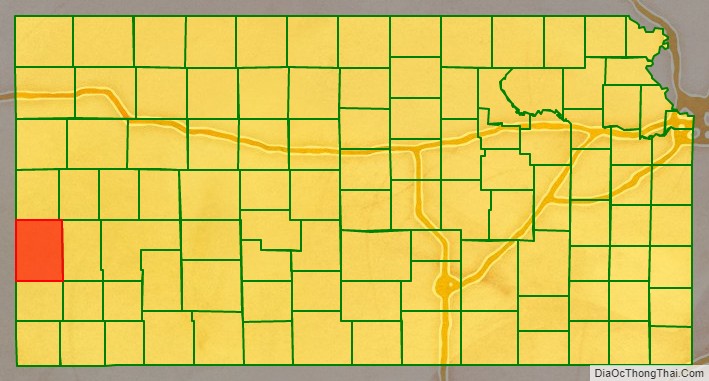
Hamilton County (county code HM) is a county located in the U.S. state of Kansas. As of the 2020 census, the county population was 2,518. Its county seat and most populous city is Syracuse. The county was founded in 1873 and named for Alexander Hamilton.
| Name: | Hamilton County |
|---|---|
| FIPS code: | 20-075 |
| State: | Kansas |
| Founded: | March 20, 1873 |
| Named for: | Alexander Hamilton |
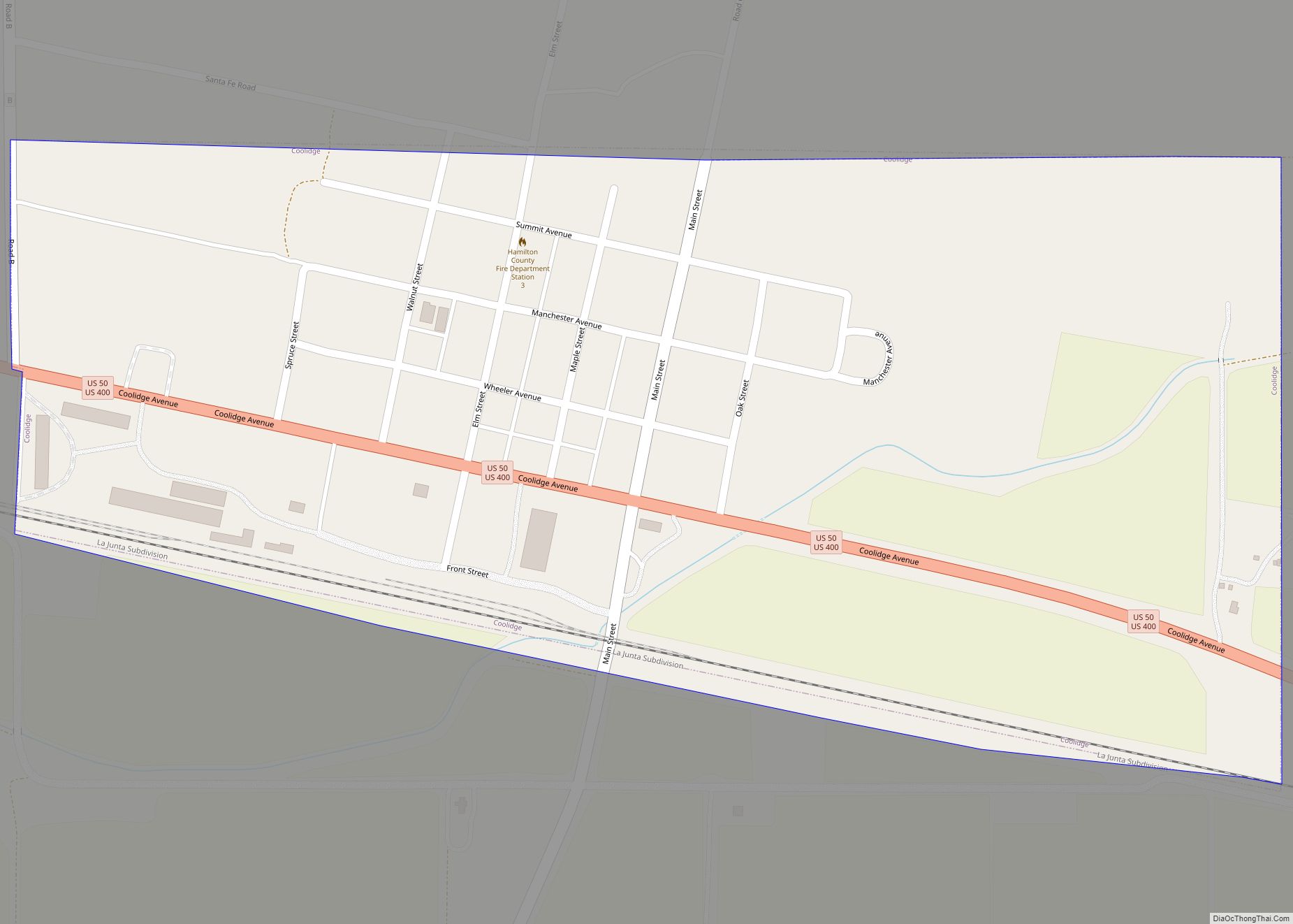
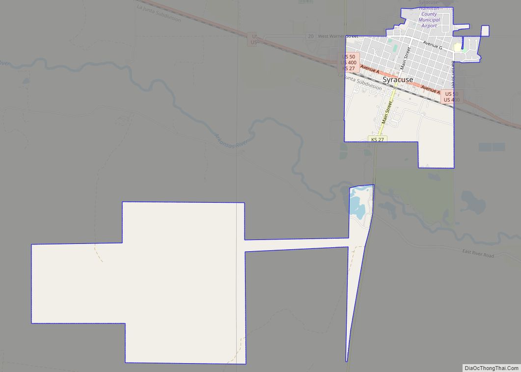
| Seat: | Syracuse |
| Largest city: | Syracuse |
| Total Area: | 998 sq mi (2,580 km²) |
| Land Area: | 997 sq mi (2,580 km²) |
| Total Population: | 2,518 |
| Population Density: | 2.5/sq mi (1.0/km²) |
| Time zone: | UTC−7 (Mountain) |
| Summer Time Zone (DST): | UTC−6 (MDT) |
| Website: | County Info |
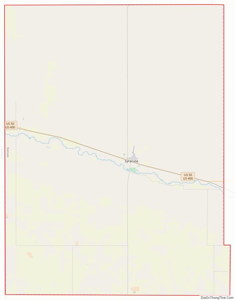
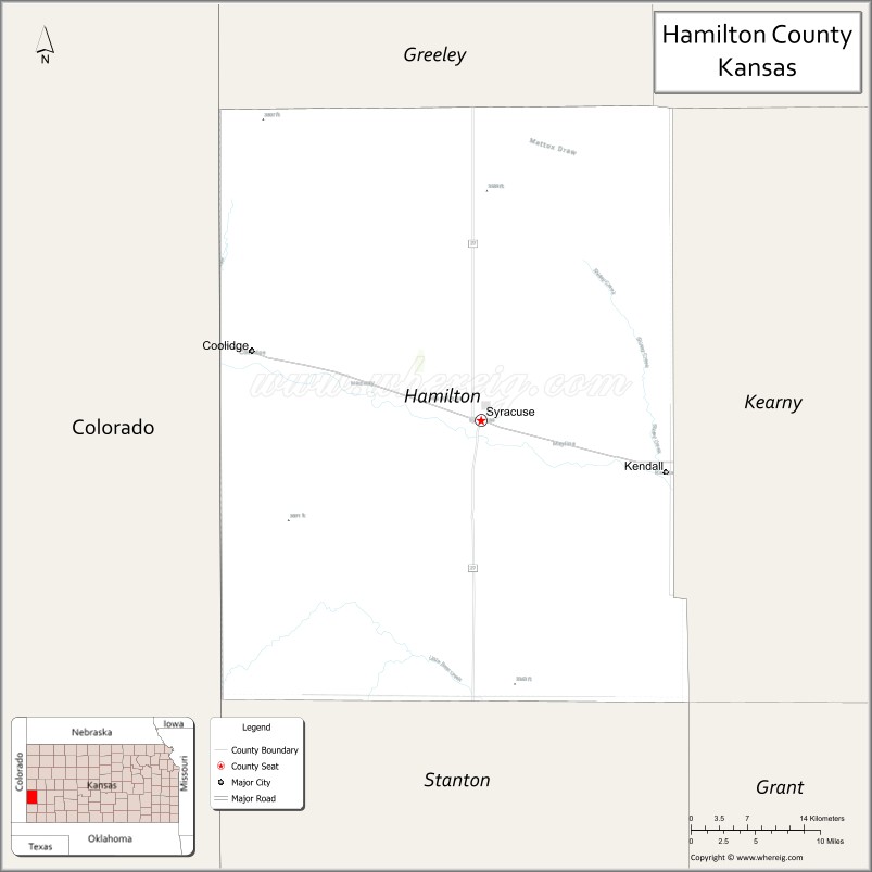
Hamilton County location map. Where is Hamilton County?
Hamilton County Road Map
Geography
According to the U.S. Census Bureau, the county has a total area of 998 square miles (2,580 km), of which 997 square miles (2,580 km) is land and 1.1 square miles (2.8 km) (0.1%) is water.
Major highways
- U.S. Highway 50
- U.S. Highway 400
- K-27
Adjacent counties
- Greeley County (north)
- Wichita County (northeast/Central Time border)
- Kearny County (east/Central Time border)
- Stanton County (south/Central Time border)
- Prowers County, Colorado (west)
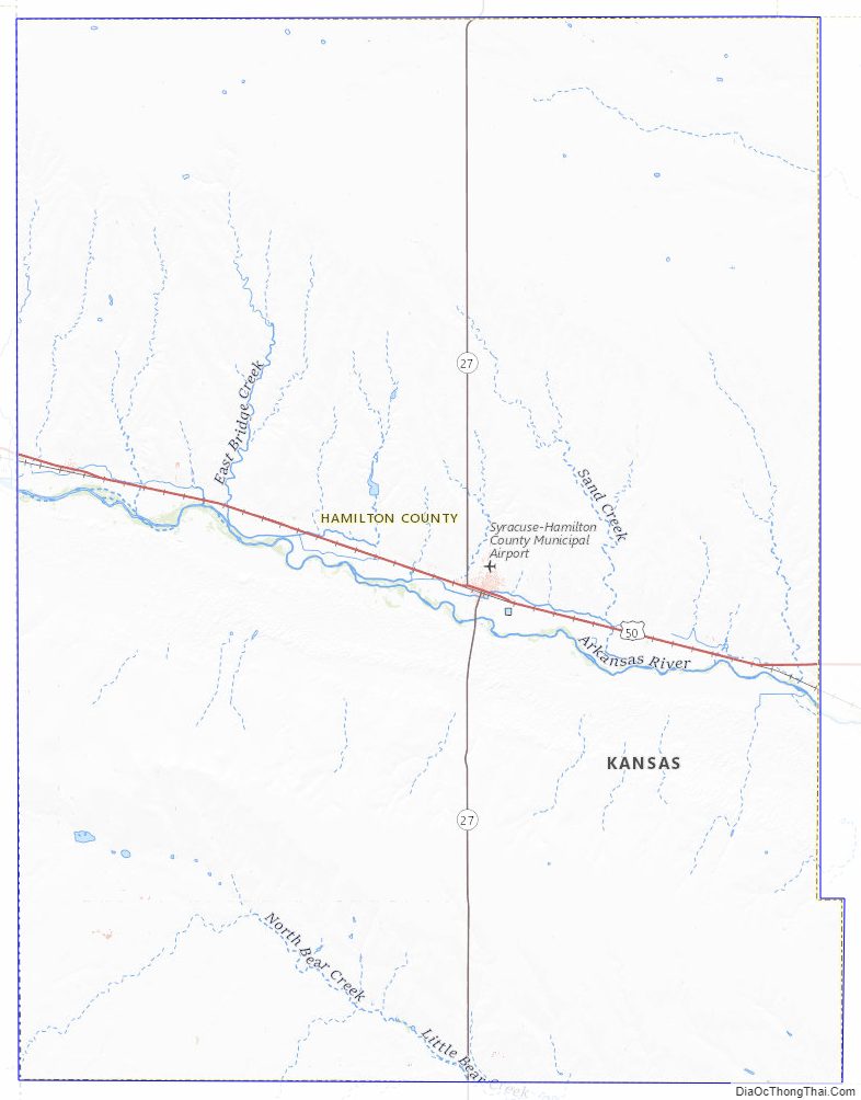
Hamilton County Topographic Map
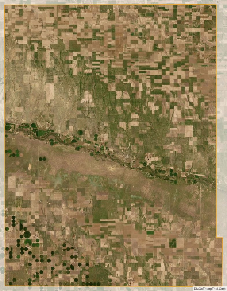
Hamilton County Satellite Map
Hamilton County Outline Map