Hampton County is a rural county located in the U.S. state of South Carolina. As of the 2020 census, the population was 18,561. Its county seat is Hampton. It was named for Confederate Civil War general Wade Hampton, who in the late 1870s, with the ending of Reconstruction, was elected as governor of South Carolina.
| Name: | Hampton County |
|---|---|
| FIPS code: | 45-049 |
| State: | South Carolina |
| Founded: | 1878 |
| Named for: | Wade Hampton III |
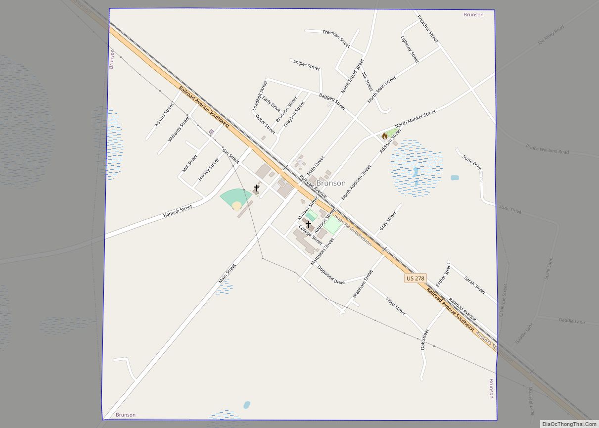
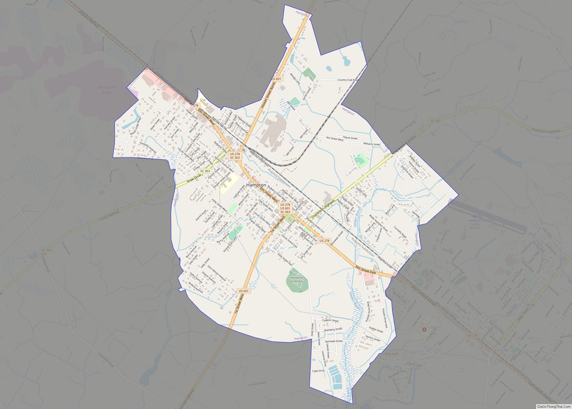
| Seat: | Hampton |
| Largest town: | Hampton |
| Total Area: | 563 sq mi (1,460 km²) |
| Land Area: | 560 sq mi (1,500 km²) |
| Total Population: | 18,180 |
| Population Density: | 32.5/sq mi (12.5/km²) |
| Time zone: | UTC−5 (Eastern) |
| Summer Time Zone (DST): | UTC−4 (EDT) |
| Website: | www.hamptoncountysc.org |
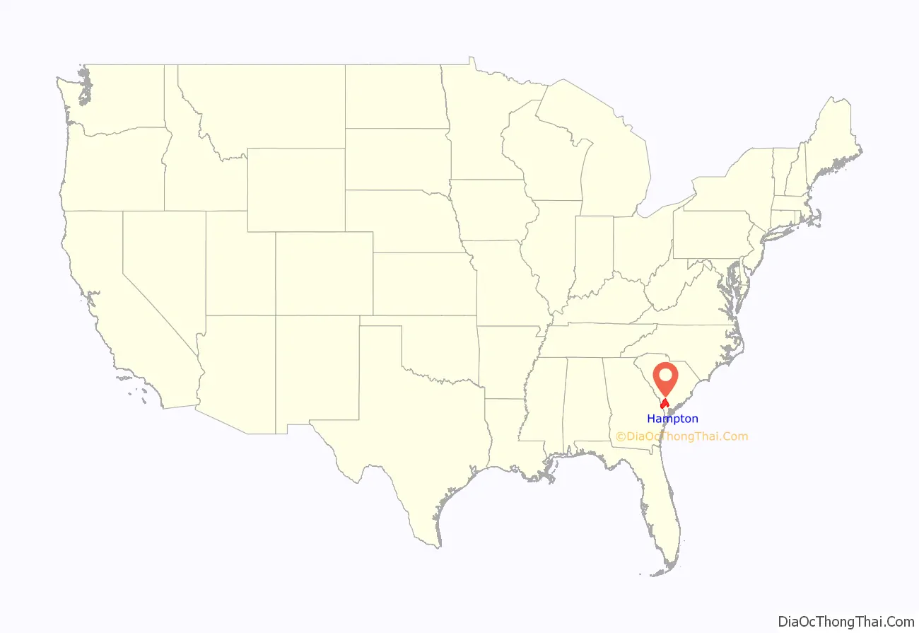
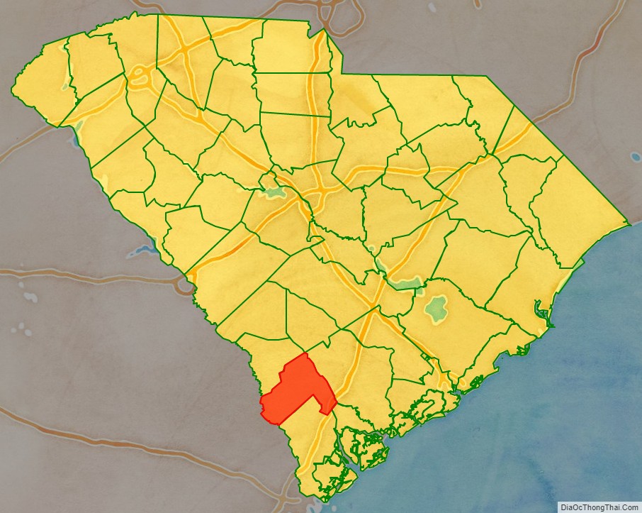
Hampton County location map. Where is Hampton County?
History
The county is named for Wade Hampton III, one of the country’s leading slaveowners and a Lieutenant General for the Confederacy during the American Civil War. After the war, he led the Redeemers and Red Shirts on a campaign to reestablish Democratic rule South Carolina. At the end of the Reconstruction era he became Governor and then U.S. Senator from South Carolina.
The county had a peak of population in 1910, when agriculture was still the mainstay of the economy. Thousands of African Americans left after that for urban areas, especially in the North, in the Great Migration. The mechanization of agriculture reduced farm jobs.
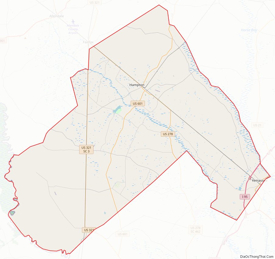
Hampton County Road Map
Geography
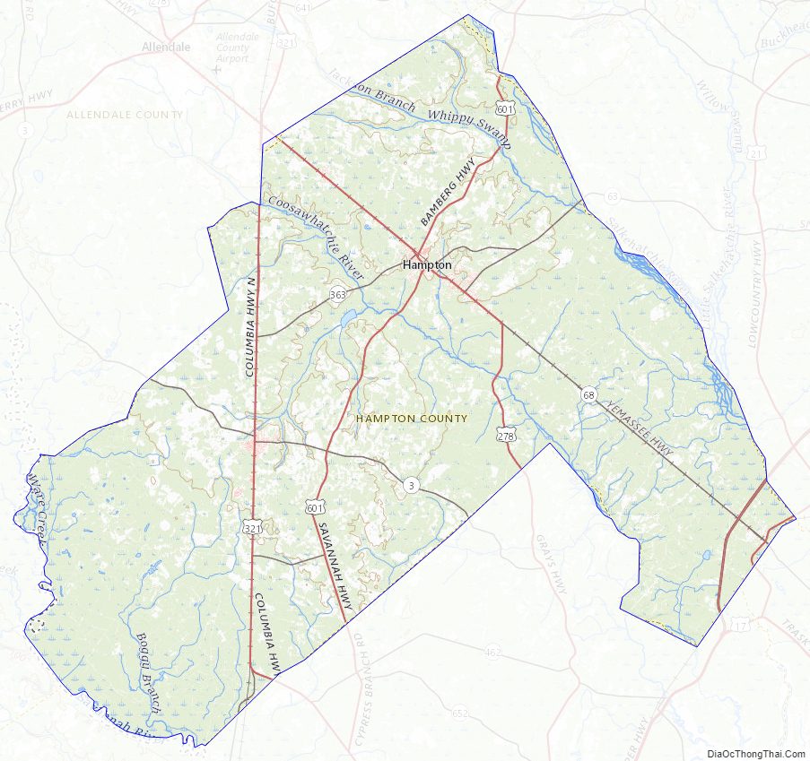
According to the U.S. Census Bureau, the county has a total area of 563 square miles (1,460 km), of which 560 square miles (1,500 km) is land and 2.8 square miles (7.3 km) (0.5%) is water.
National protected area
- Ernest F. Hollings ACE Basin National Wildlife Refuge (part)
State and local protected areas
- James W Webb Wildlife Center and Game Management Area
- Lake Warren State Park
Major water bodies
- Coosawhatchie River
- Lake George Warren
- Little Salkehatchie River
- Salkehatchie River
- Savannah River
Adjacent counties
- Bamberg County – north
- Colleton County – east
- Beaufort County – southeast
- Jasper County – south
- Effingham County, Georgia – southwest
- Screven County, Georgia – west
- Allendale County – northwest
Major highways
- I-95
- US 21
- US 17 Alt.
- US 278
- US 321
- US 601
- SC 3
- SC 63
- SC 68
- SC 333
- SC 363
Major infrastructure
- Yemassee Station
Hampton County Topographic Map
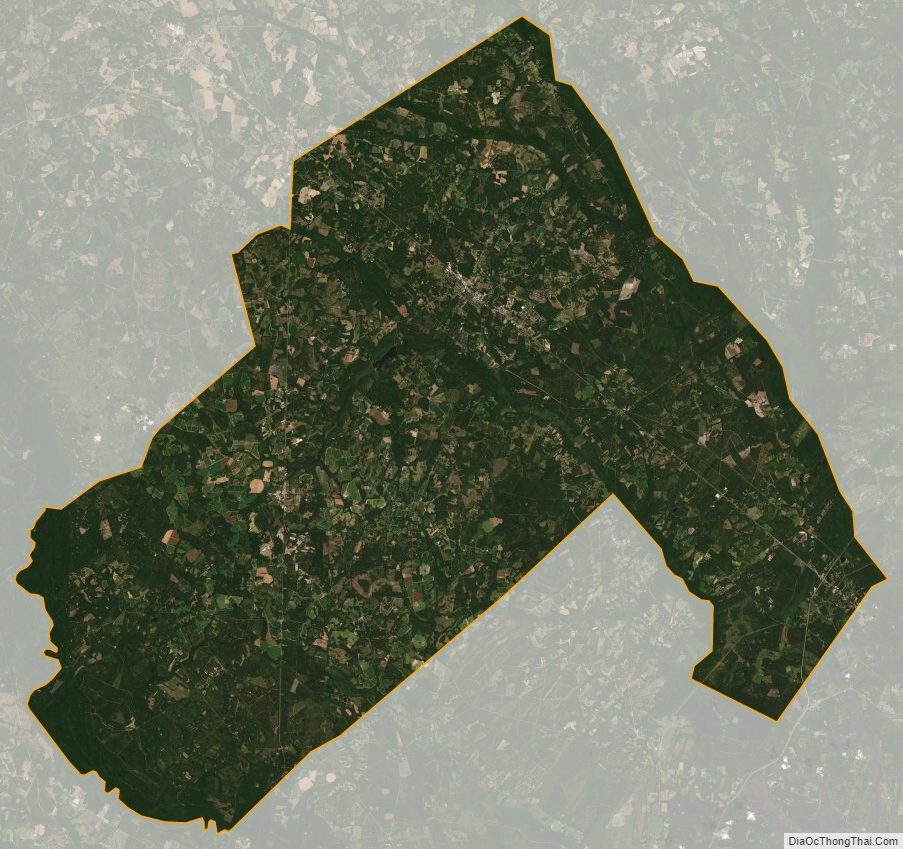
Hampton County Satellite Map
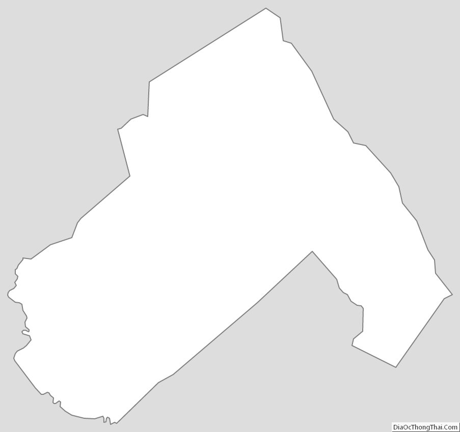
Hampton County Outline Map