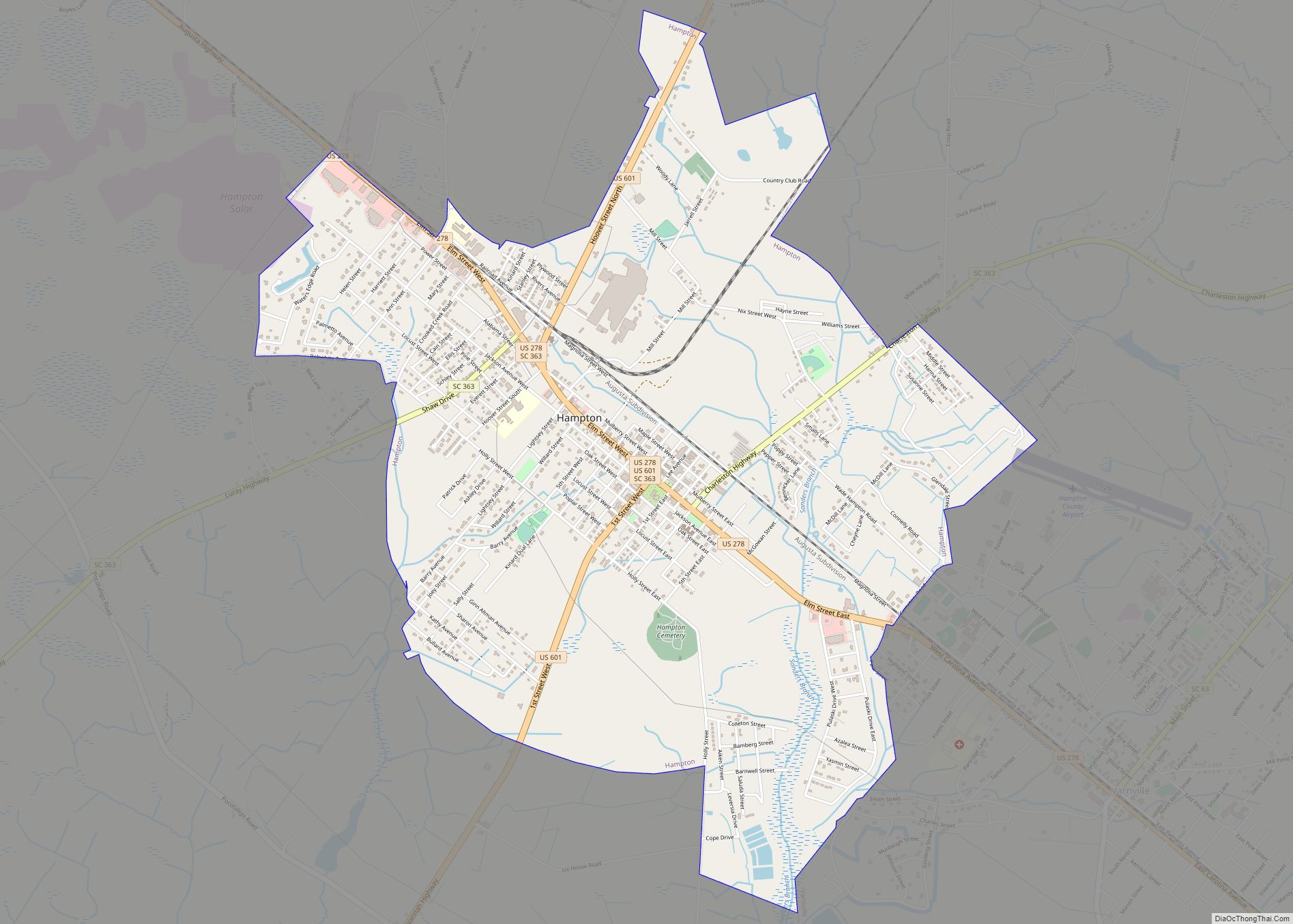
Hampton is a town in Hampton County, South Carolina, United States. The population was 2,808 at the 2010 census. It is the county seat of Hampton County. The town and the county are named after Wade Hampton III, a Confederate general in the Civil War.
| Name: | Hampton town |
|---|---|
| LSAD Code: | 43 |
| LSAD Description: | town (suffix) |
| State: | South Carolina |
| County: | Hampton County |
| Elevation: | 108 ft (33 m) |
| Total Area: | 4.53 sq mi (11.72 km²) |
| Land Area: | 4.51 sq mi (11.69 km²) |
| Water Area: | 0.01 sq mi (0.04 km²) |
| Total Population: | 2,694 |
| Population Density: | 596.94/sq mi (230.50/km²) |
| ZIP code: | 29913, 29924 |
| Area code: | 803, 839 |
| FIPS code: | 4531885 |
| GNISfeature ID: | 1245894 |
| Website: | www.hamptonsc.net |
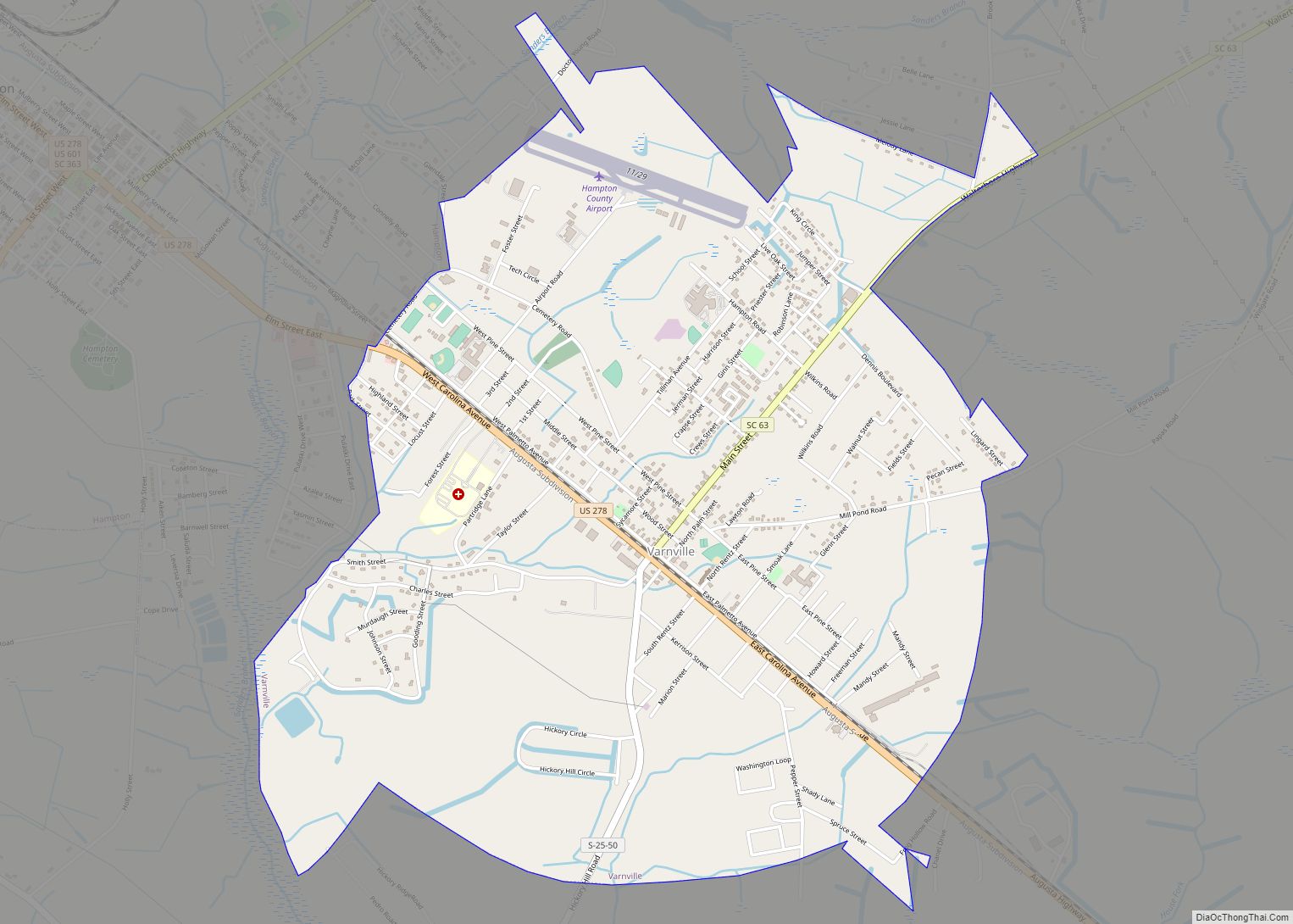
Online Interactive Map
Click on ![]() to view map in "full screen" mode.
to view map in "full screen" mode.
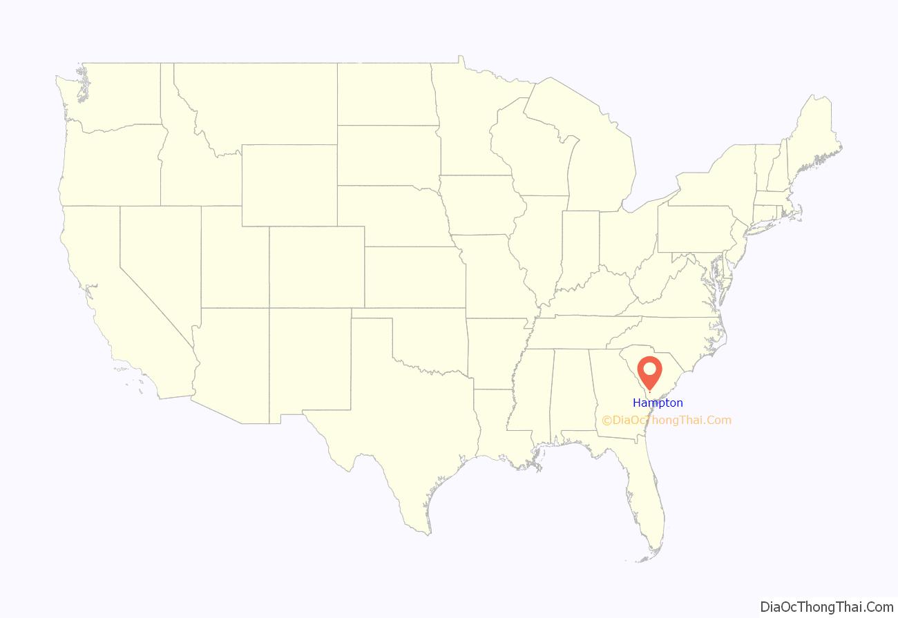
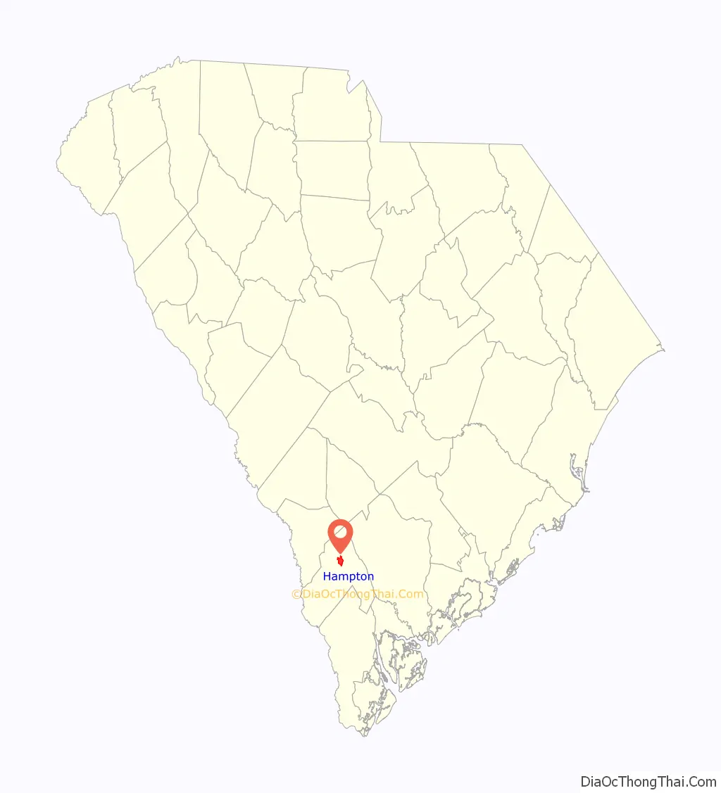
Hampton location map. Where is Hampton town?
History
Hampton County was created from northwestern portions of Beaufort County in 1878 by the South Carolina General Assembly. In appreciation for helping to end the Reconstruction Era and leading the Democratic Party, the county was named after the sitting governor, Wade Hampton III. Upon creation of the county, the town of Hampton Courthouse was incorporated the following year to serve as the county seat. The U.S. Postal Service would later shorten the name to Hampton. The location was chosen based on the midpoint location of the Port Royal Railroad between Augusta, Georgia, and Port Royal, in hopes to spur economic development. The town was laid out in an orderly grid pattern, with streets running northeast/southwest being named after trees and streets running northwest/southeast being numbered. The central three-block main street which ran between the courthouse block and the rail depot was named Lee Avenue.
Hampton prospered due to its connections with local agricultural fields and became an important depot along the railway. However, the town remained small, though an influx of activity occurred in World War II when a Prisoner-of-War camp was opened near the town. Additional economic development came in the form of industry, with Plywoods-Plastic opening a major facility northwest of town for pulp production. Over time, the company was acquired by Westinghouse and International Paper. IP sold the site to Nevamar, and the facility remained one of the county’s largest employers until its closure in late 2014.
In recent years, auto-oriented commercial development was focused on the outskirts of town, leaving the original downtown without much activity. The town of Hampton has attempted to bring back commercial and civic activity to Lee Avenue and has undergone a multi-phased streetscape project, which has rendered some success in luring back businesses to downtown. Hampton County also completed renovations to its historic courthouse in 2012, choosing to remain in downtown Hampton.
The American Legion Hut, Bank of Hampton, Hampton Colored School, Hampton County Courthouse, and Palmetto Theatre are listed on the National Register of Historic Places.
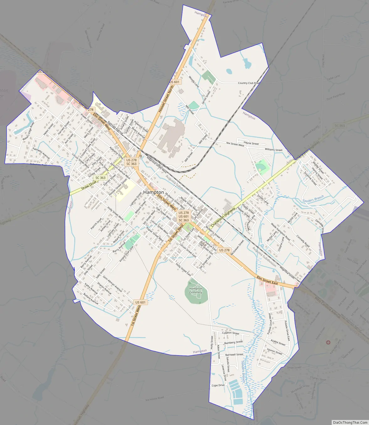
Hampton Road Map
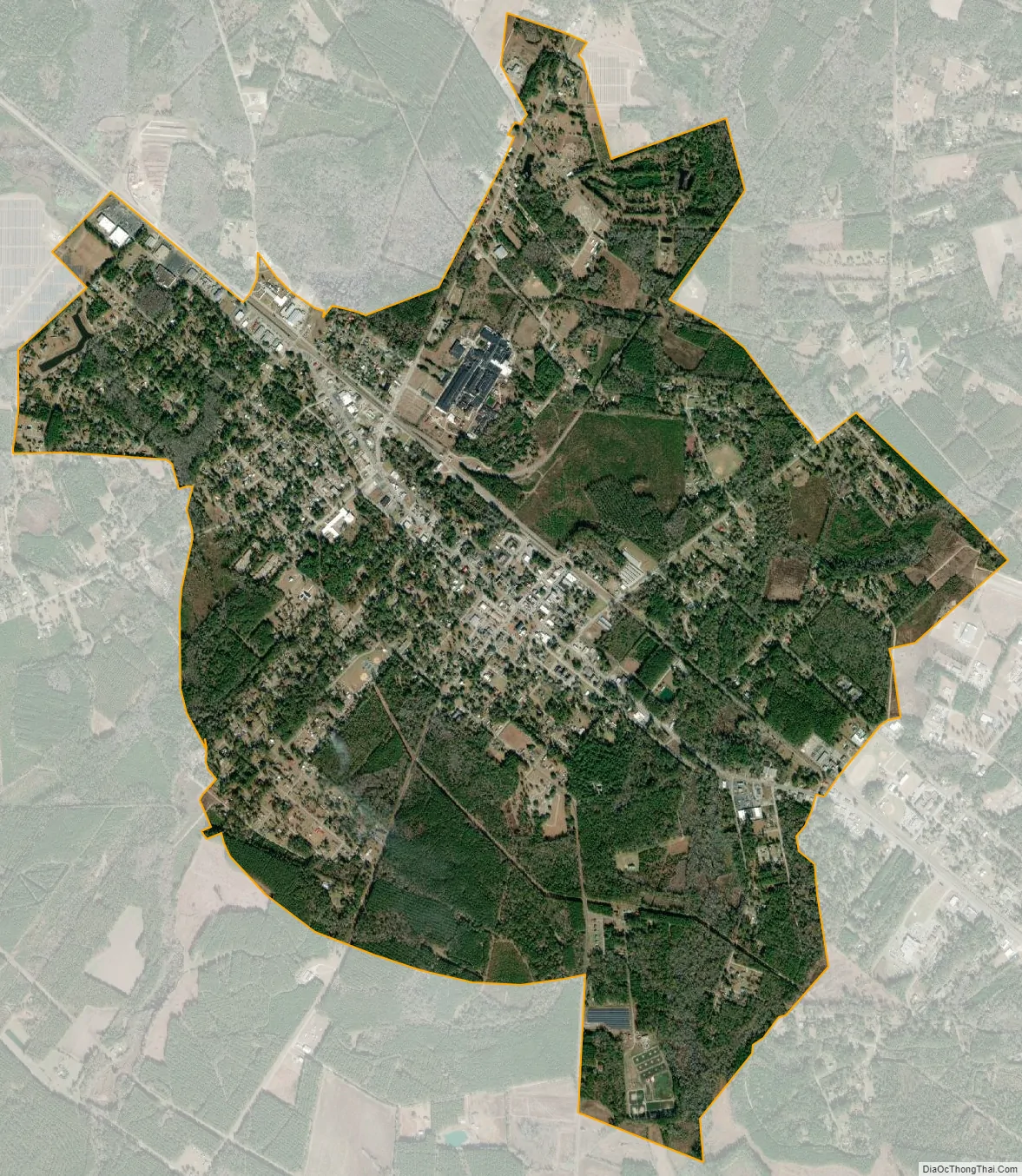
Hampton city Satellite Map
Geography
Hampton is located in north-central Hampton County at 32°52′3″N 81°6′42″W / 32.86750°N 81.11167°W / 32.86750; -81.11167 (32.867514, -81.111554). It is bordered to the southeast by the town of Varnville. U.S. Route 278 passes through the center of Hampton as Elm Street; the highway leads northwest 10 miles (16 km) to Fairfax and southeast through Varnville 30 miles (48 km) to Ridgeland. U.S. Route 601 enters Hampton from the south as First Street and leaves to the north on Hoover Street. 601 leads north 32 miles (51 km) to Bamberg and south 23 miles (37 km) to its terminus at US 321 near Tarboro.
According to the United States Census Bureau, the town of Hampton has a total area of 4.5 square miles (11.7 km), of which 0.02 square miles (0.04 km), or 0.31%, are water.
See also
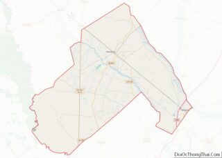
Map of South Carolina State and its subdivision:- Abbeville
- Aiken
- Allendale
- Anderson
- Bamberg
- Barnwell
- Beaufort
- Berkeley
- Calhoun
- Charleston
- Cherokee
- Chester
- Chesterfield
- Clarendon
- Colleton
- Darlington
- Dillon
- Dorchester
- Edgefield
- Fairfield
- Florence
- Georgetown
- Greenville
- Greenwood
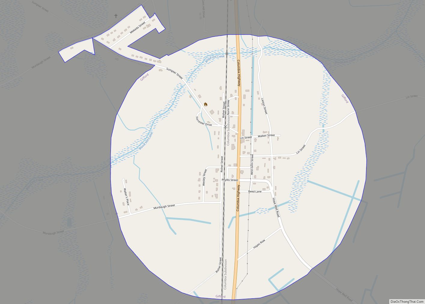
- Hampton
- Horry
- Jasper
- Kershaw
- Lancaster
- Laurens
- Lee
- Lexington
- Marion
- Marlboro
- McCormick
- Newberry
- Oconee
- Orangeburg
- Pickens
- Richland
- Saluda
- Spartanburg
- Sumter
- Union
- Williamsburg
- York
- Alabama
- Alaska
- Arizona
- Arkansas
- California
- Colorado
- Connecticut
- Delaware
- District of Columbia
- Florida
- Georgia
- Hawaii
- Idaho
- Illinois
- Indiana
- Iowa
- Kansas
- Kentucky
- Louisiana
- Maine
- Maryland
- Massachusetts
- Michigan
- Minnesota
- Mississippi
- Missouri
- Montana
- Nebraska
- Nevada
- New Hampshire
- New Jersey
- New Mexico
- New York
- North Carolina
- North Dakota
- Ohio
- Oklahoma
- Oregon
- Pennsylvania
- Rhode Island
- South Carolina
- South Dakota
- Tennessee
- Texas
- Utah
- Vermont
- Virginia
- Washington
- West Virginia
- Wisconsin
- Wyoming