| Name: | Hancock County |
|---|---|
| FIPS code: | 13-141 |
| State: | Georgia |
| Founded: | 1793 |
| Named for: | John Hancock |
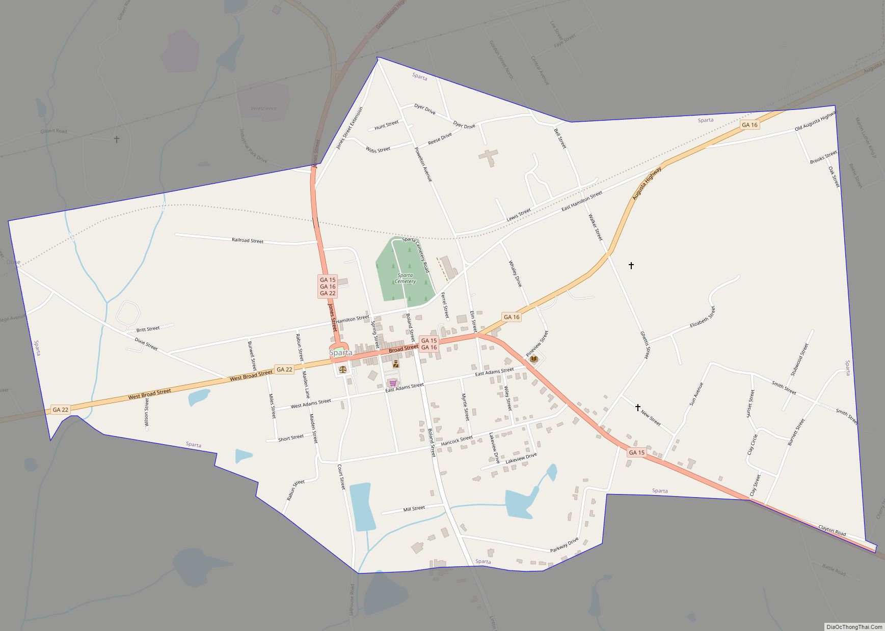
| Seat: | Sparta |
| Largest city: | Sparta |
| Total Area: | 479 sq mi (1,240 km²) |
| Land Area: | 472 sq mi (1,220 km²) |
| Total Population: | 8,735 |
| Population Density: | 19/sq mi (7/km²) |
| Time zone: | UTC−5 (Eastern) |
| Summer Time Zone (DST): | UTC−4 (EDT) |
| Website: | www.hancockcountyga.gov |
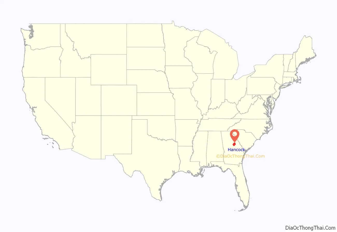
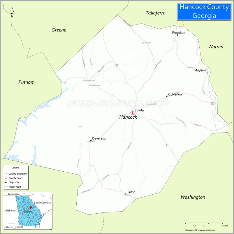
Hancock County location map. Where is Hancock County?
History
Before the Civil War, Hancock County was developed for cotton plantations, as international demand was high for the commodity. The land was developed and the cotton cultivated and processed by thousands of enslaved African Americans. This area is classified as part of the Black Belt of the United States, primarily due to its fertile soil. It was later also associated with the slave society. Enslaved persons made up 61% of the total county population in the 1850 Census. Unusually for such a plantation-dominated society, the county’s representatives at the Georgia Secession Convention, who were overwhelmingly white and Democratic, voted against secession in 1861.
But the secession conventions were dominated by men who voted for separation, and Georgia soon seceded and entered the war.
After the war, the freed black population predominated by number in the county for decades. After emancipation and granting of citizenship and the franchise, most freedmen joined the Republican Party, which they credited with gaining their freedom. Conservative white Democrats resisted political domination by blacks, although they were outnumbered. In the later years of Reconstruction, whites used violence, intimidation and fraud to suppress black voting. In 1908 the white-dominated legislature passed an amendment that effectively disenfranchised most black voters and many poor whites ones.
Contemporary voting issues
According to the 2010 census estimate, the racial makeup of the county seat of Sparta was 84% African American, 15% White, 0.50% from two or more races, 0.30% Asian, and 0.10% Native American. Hispanic or Latino of any race were 0.70% of the population.
Since the late 20th century, most African Americans support the Democratic Party and conservative whites support the Republican Party.
In August 2015, the majority-white Hancock County Board of Elections initiated an effort to purge voters from the rolls. They directed deputy sheriffs to the homes of more than 180 black people residing in Sparta (these constituted some 20% of the city’s total registered voters) to inform them they would lose their voting rights unless they appeared in court to prove their residency. A total of 53 voters were removed the voting rolls, but a federal judge overturned the Board’s actions. It was asserted that these actions were racially based.
In 2021, the African-American elections superintendent for the City of Sparta was referred to the Georgia Secretary of State’s Office for prosecution for allegedly imposing illegal requirements for candidates in the 2017 municipal election.
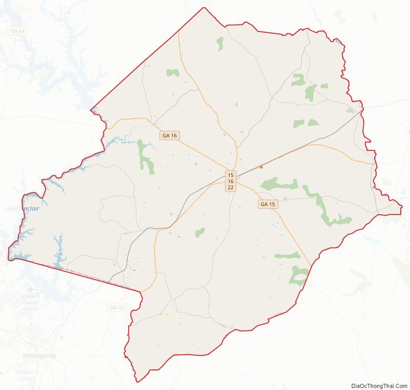
Hancock County Road Map
Geography
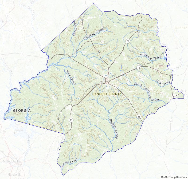
According to the U.S. Census Bureau, the county has a total area of 479 square miles (1,240 km), of which 472 square miles (1,220 km) is land and 6.8 square miles (18 km) (1.4%) is water.
The western portion of Hancock County, which is defined by a line running southeast from White Plains to the intersection of State Route 22 and Springfield Road, then running southwest along State Route 22, is located in the Upper Oconee River sub-basin of the Altamaha River basin. The southern portion of the county, defined by a triangle made of State Route 22 and State Route 15, with Sparta at its apex, is located in the Lower Oconee River sub-basin of the same Altamaha River basin. The northeastern portion of Hancock County is located in the Upper Ogeechee River sub-basin of the Ogeechee River basin.
Major highways
No Interstate Highway
- State Route 248
- State Route 15
- State Route 16
- State Route 22
- State Route 77
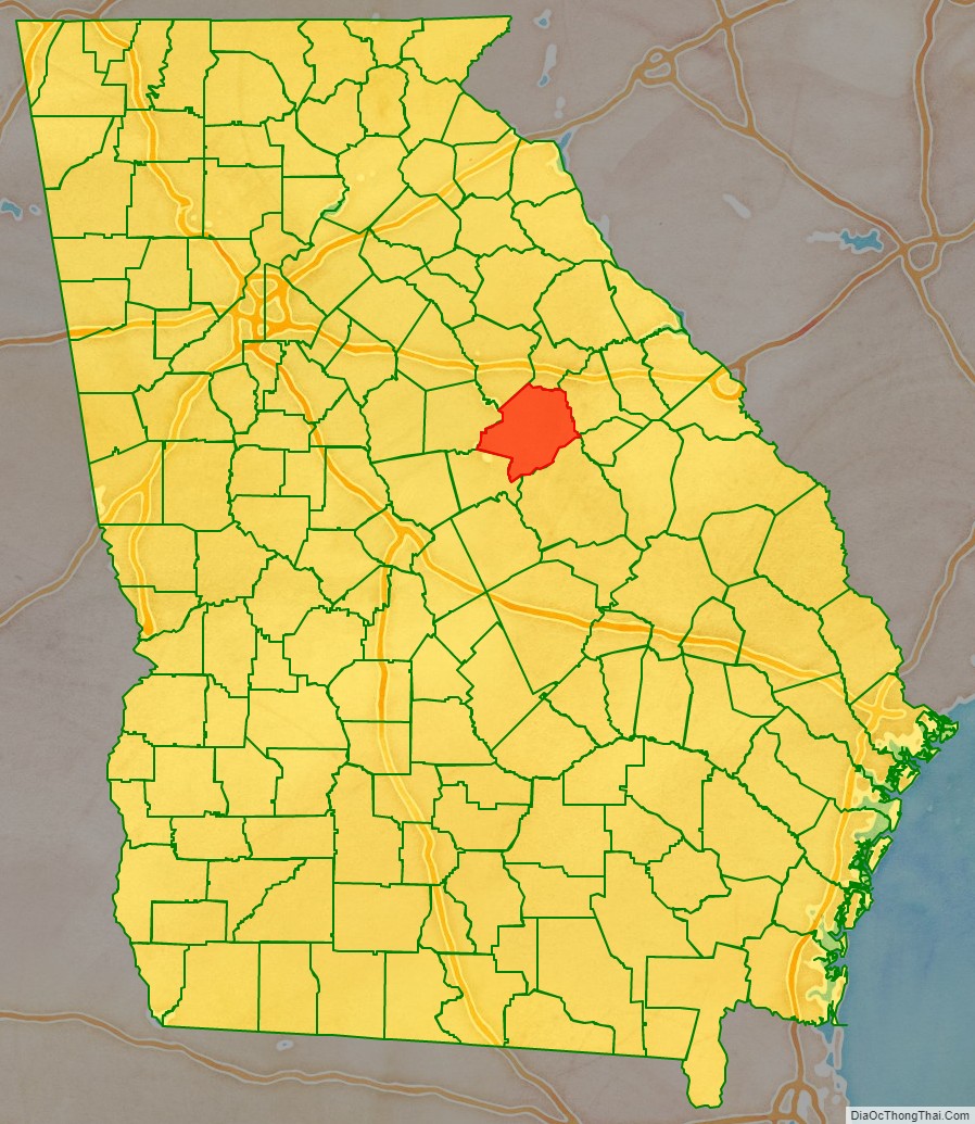
Adjacent counties
- Taliaferro County – north
- Warren County – northeast
- Glascock County – east
- Washington County – southeast
- Baldwin County – southwest
- Putnam County – west
- Greene County – northwest
Hancock County Topographic Map
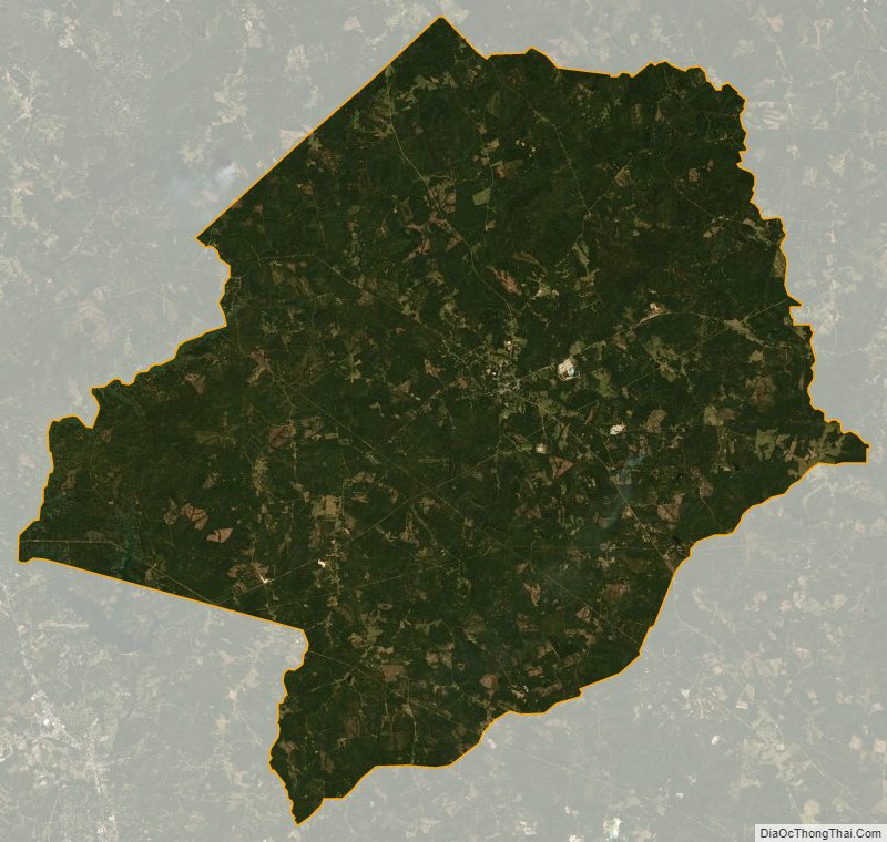
Hancock County Satellite Map
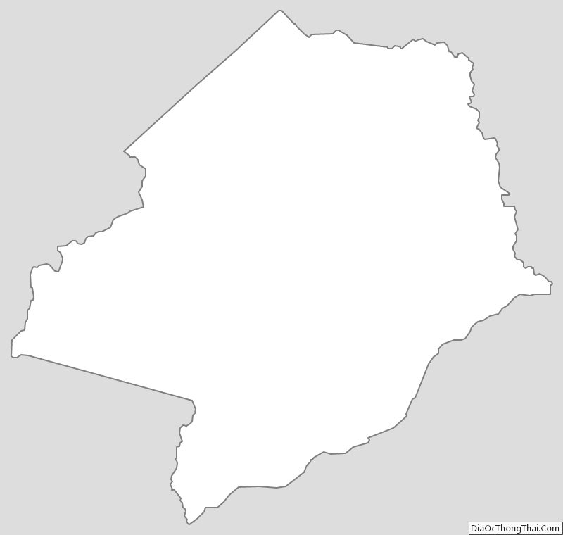
Hancock County Outline Map