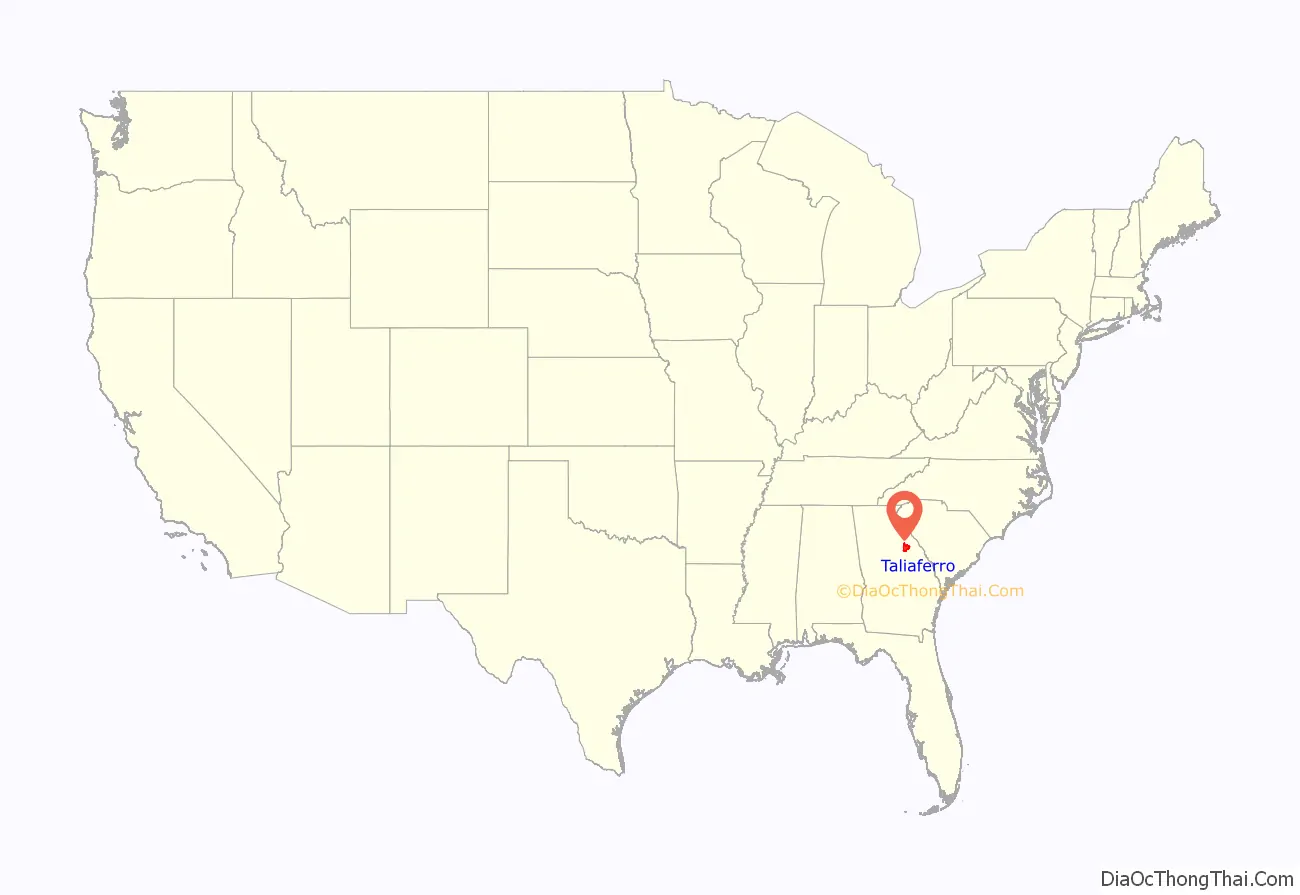
Taliaferro County (/ˈtɒlɪvər/ TOL-iv-ər) is a county located in the U.S. state of Georgia. As of the 2020 census, the population was 1,559, down from the 2010 census when the population was 1,717, making it the least populous county in Georgia and the second-least populous county east of the Mississippi River (after Issaquena County, Mississippi). The county seat is Crawfordville.
| Name: | Taliaferro County |
|---|---|
| FIPS code: | 13-265 |
| State: | Georgia |
| Founded: | 1825 |
| Named for: | Benjamin Taliaferro |
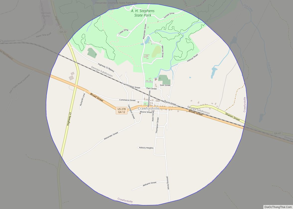
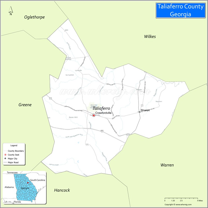
| Seat: | Crawfordville |
| Largest city: | Crawfordville |
| Total Area: | 195 sq mi (510 km²) |
| Land Area: | 195 sq mi (510 km²) |
| Total Population: | 1,559 |
| Population Density: | 8.0/sq mi (3.1/km²) |
| Time zone: | UTC−5 (Eastern) |
| Summer Time Zone (DST): | UTC−4 (EDT) |
| Website: | taliaferrocountyga.org |
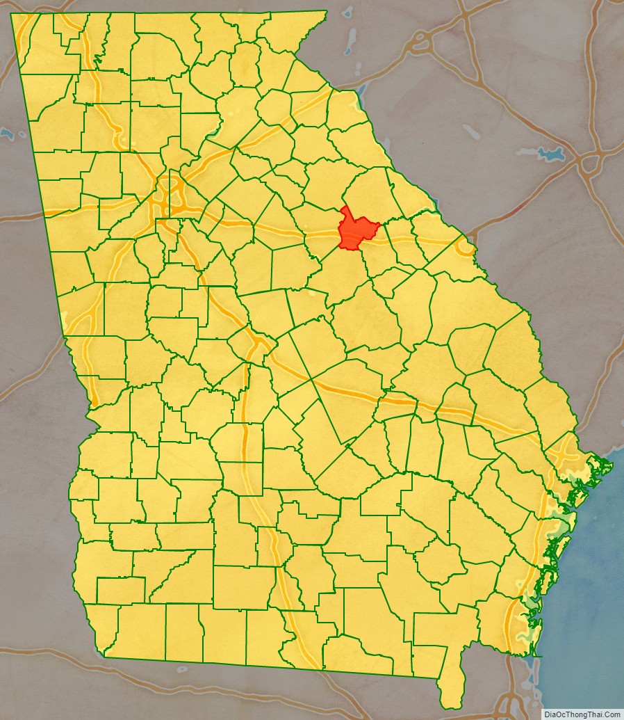
Taliaferro County location map. Where is Taliaferro County?
History
Taliaferro County was formed by an act of the Georgia Legislature meeting in Milledgeville on December 24, 1825. It was formed by taking portions of five other counties: Wilkes, Greene, Hancock, Oglethorpe, and Warren Counties.
The county was named for Colonel Benjamin Taliaferro of Virginia, who was an officer in the American Revolution.
The county is most famous for containing the birthplace and home of Alexander H. Stephens, who served as a U.S. congressman from Georgia in the antebellum South, as vice president of the Confederate States of America during the Civil War, and as governor of Georgia after the war (dying in office). A state park near his home in Crawfordville bears his name.
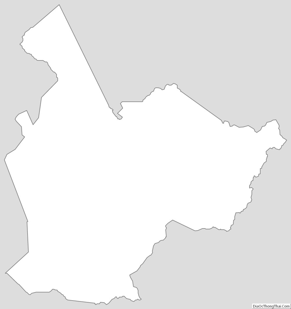
Taliaferro County Road Map
Geography
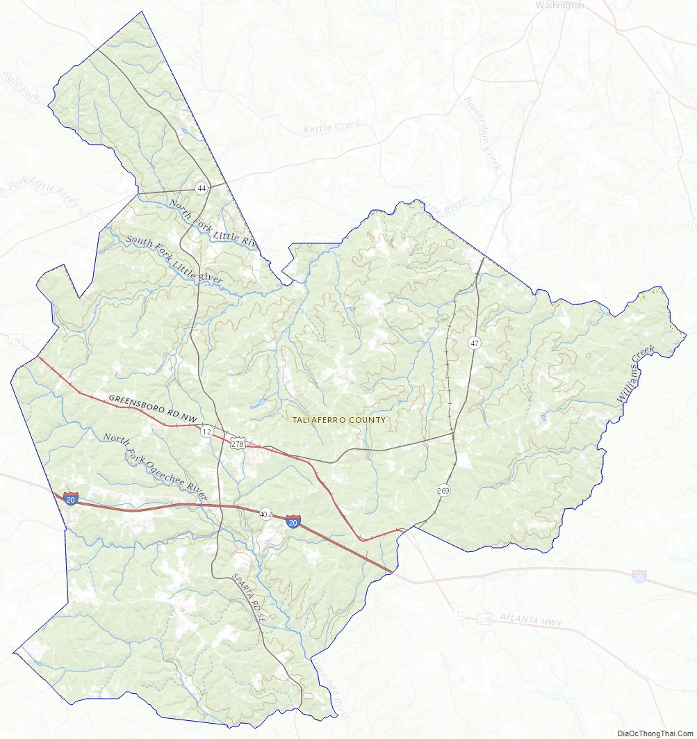
According to the U.S. Census Bureau, the county has a total area of 195 square miles (510 km), of which 195 square miles (510 km) is land and 0.7 square miles (1.8 km) (0.4%) is water. It is drained by tributaries of the Ogeechee and Little rivers.
The northern half of Taliaferro County, north of Crawfordville, is located in the Little River sub-basin of the Savannah River basin. The southern half of the county is located in the Upper Ogeechee River sub-basin of the Ogeechee River basin.
Major highways
- Interstate 20
- U.S. Route 278
- State Route 12
- State Route 22
- State Route 44
- State Route 47
- State Route 402 (unsigned designation for I-20)
Adjacent counties
- Wilkes County – north
- Oglethorpe County – north
- Warren County – southeast
- Hancock County – south
- Greene County – west
Taliaferro County Topographic Map
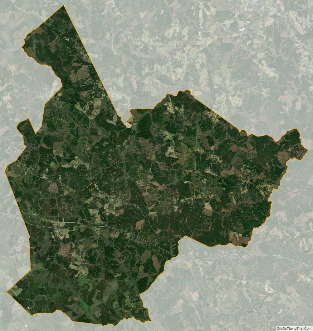
Taliaferro County Satellite Map
Taliaferro County Outline Map