| Name: | Greene County |
|---|---|
| FIPS code: | 13-133 |
| State: | Georgia |
| Founded: | 1786 |
| Named for: | Nathanael Greene |
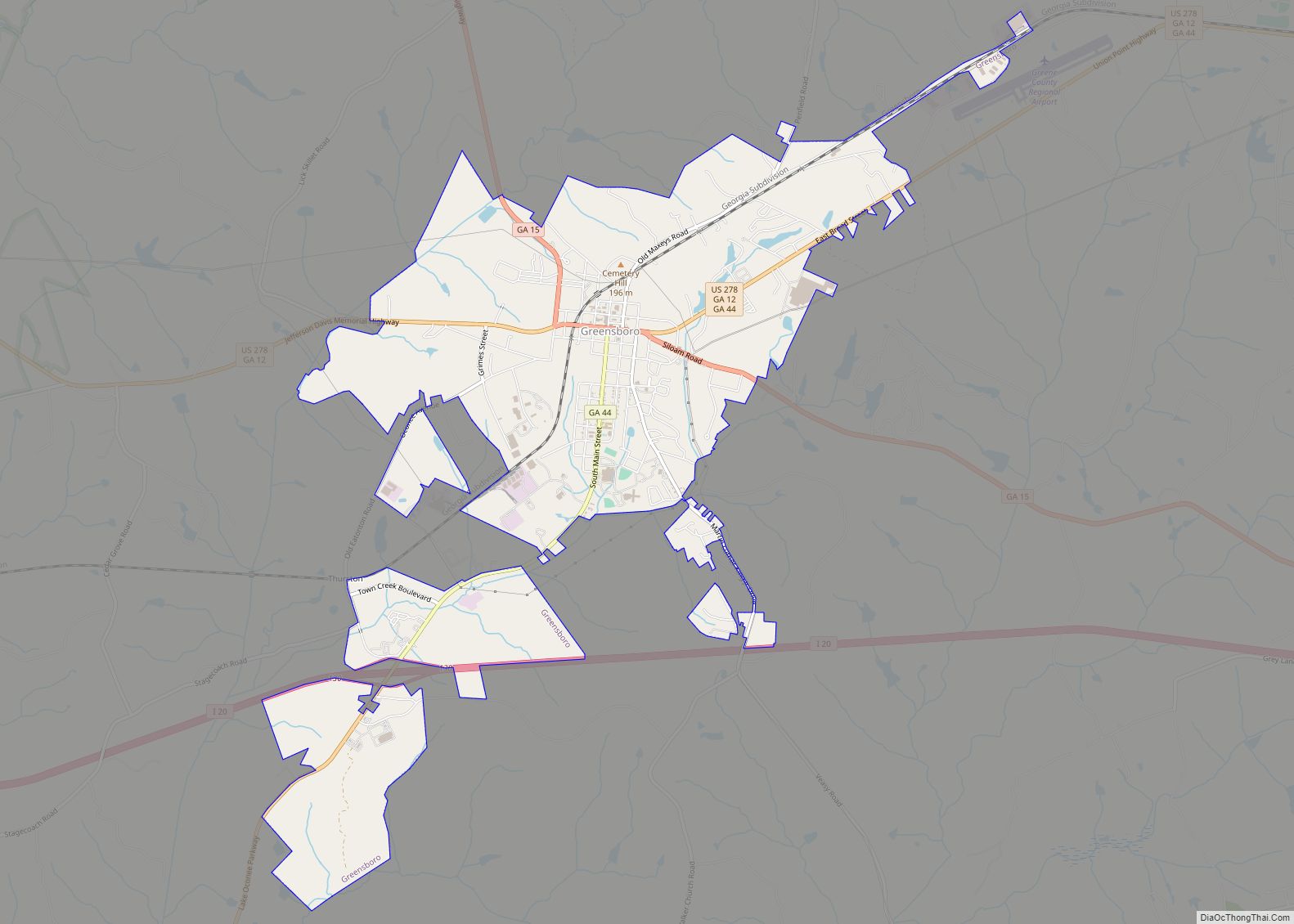
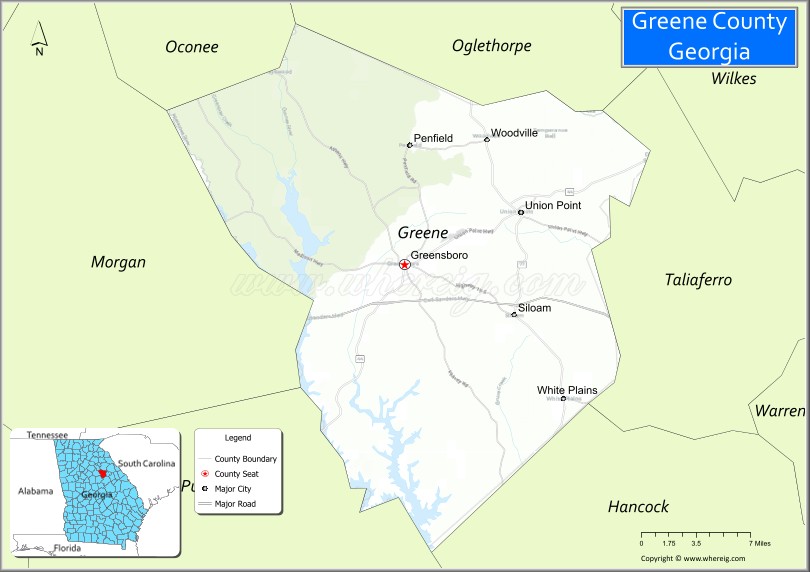
| Seat: | Greensboro |
| Largest city: | Greensboro |
| Total Area: | 406 sq mi (1,050 km²) |
| Land Area: | 387 sq mi (1,000 km²) |
| Total Population: | 18,915 |
| Population Density: | 49/sq mi (19/km²) |
| Time zone: | UTC−5 (Eastern) |
| Summer Time Zone (DST): | UTC−4 (EDT) |
| Website: | www.greenecountyga.gov |
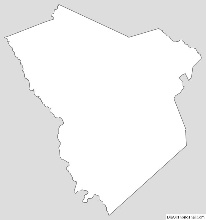
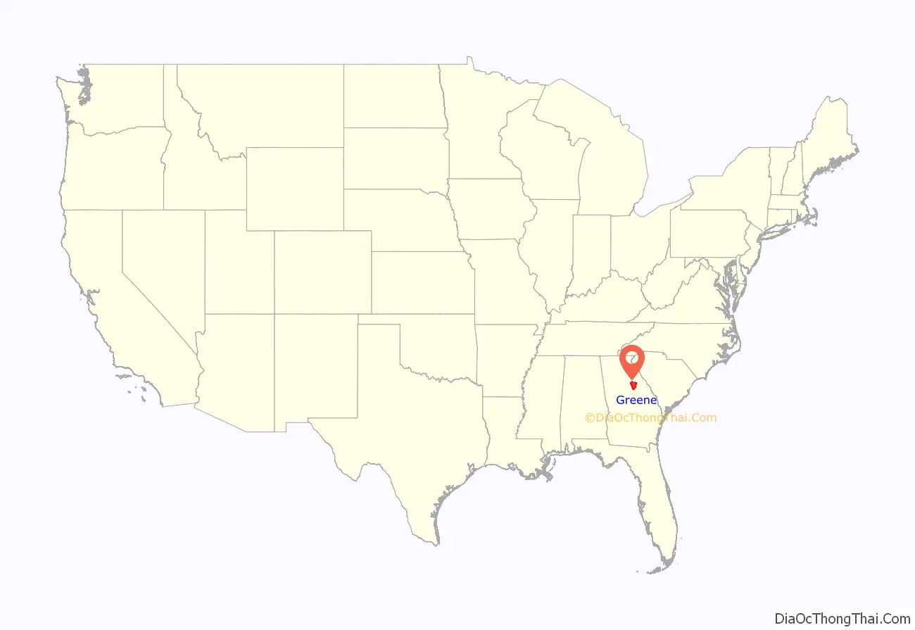
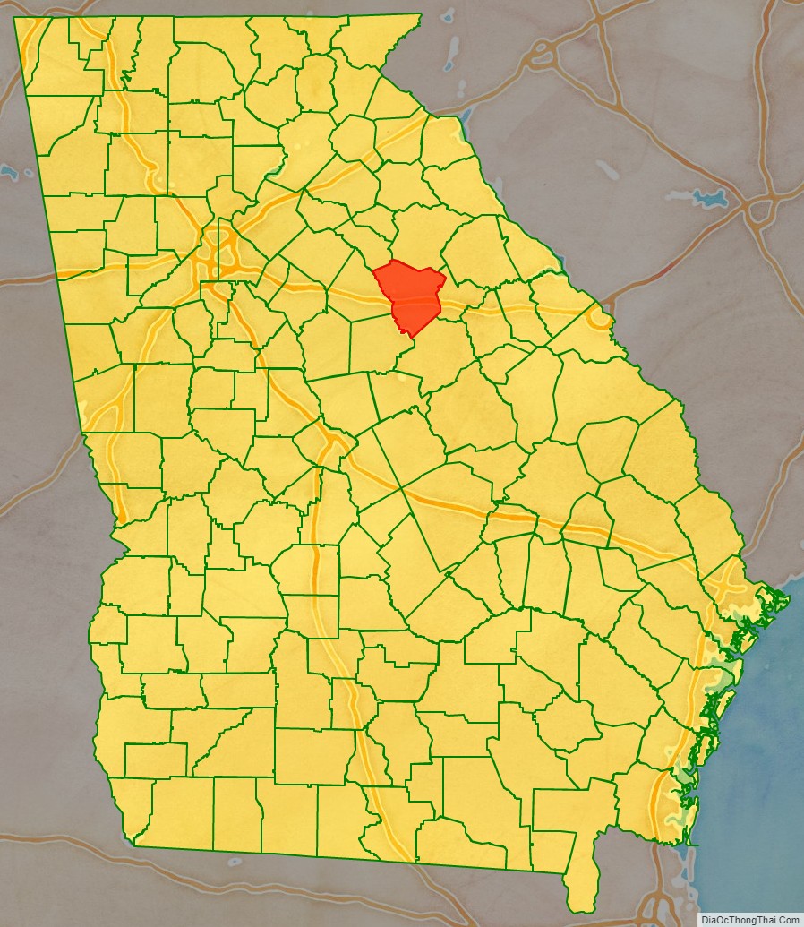
Greene County location map. Where is Greene County?
History
Greene County was formed on February 3, 1786, from land given by Washington County. It was named in honor of General Nathanael Greene, a hero of the American Revolutionary War.
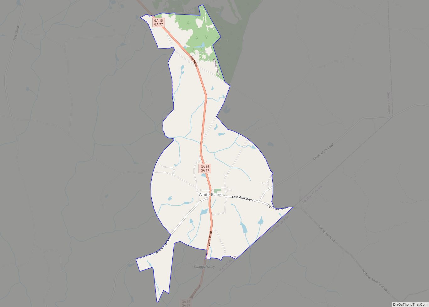
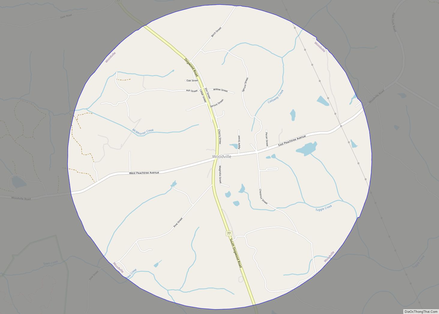
Greene County Road Map
Geography
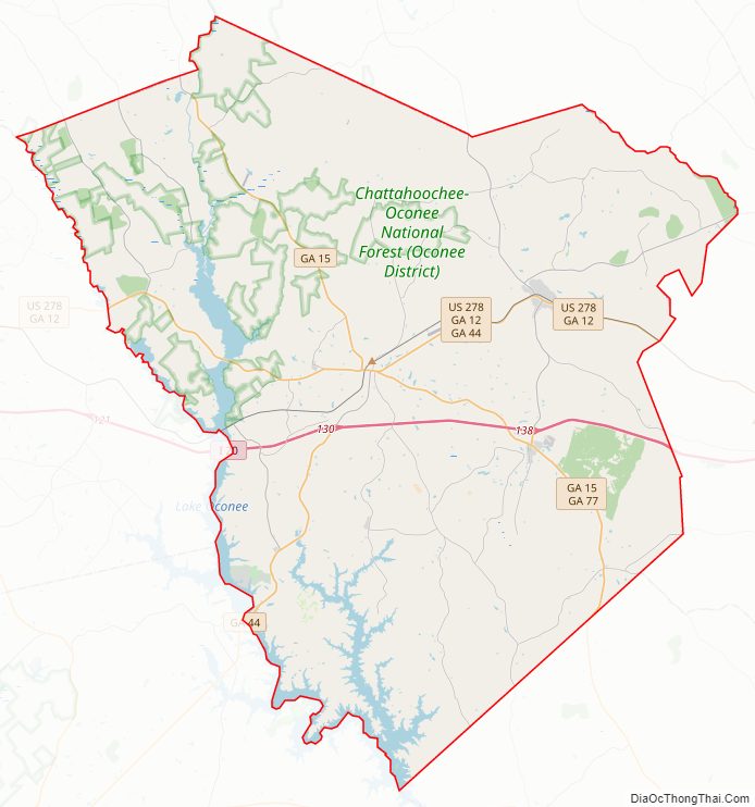
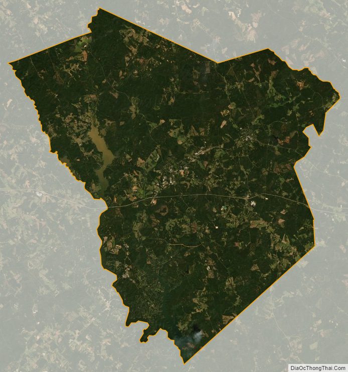
According to the U.S. Census Bureau, the county has a total area of 406 square miles (1,050 km), of which 387 square miles (1,000 km) is land and 19 square miles (49 km) (4.6%) is water.
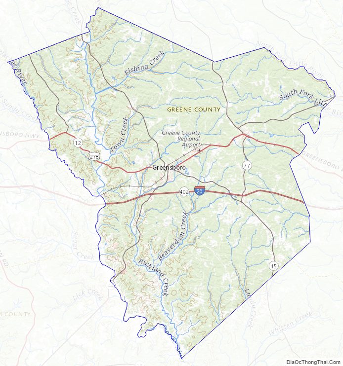
The majority of Greene County, west of a line between Woodville, Union Point, and White Plains, is located in the Upper Oconee River sub-basin of the Altamaha River basin. The northern half of the remainder of the county is located in the Little River sub-basin of the Savannah River basin, while the southern half is located in the Upper Ogeechee River sub-basin of the Ogeechee River basin.
Major highways
- Interstate 20
- U.S. Route 278
- State Route 12
- State Route 15
- State Route 44
- State Route 77
- State Route 402 (unsigned designation for I-20)
Adjacent counties
- Oglethorpe County (north)
- Taliaferro County (east)
- Hancock County (southeast)
- Putnam County (southwest)
- Morgan County (west)
- Oconee County (northwest)
National protected area
- Oconee National Forest (part)
Greene County Topographic Map
Greene County Satellite Map
Greene County Outline Map