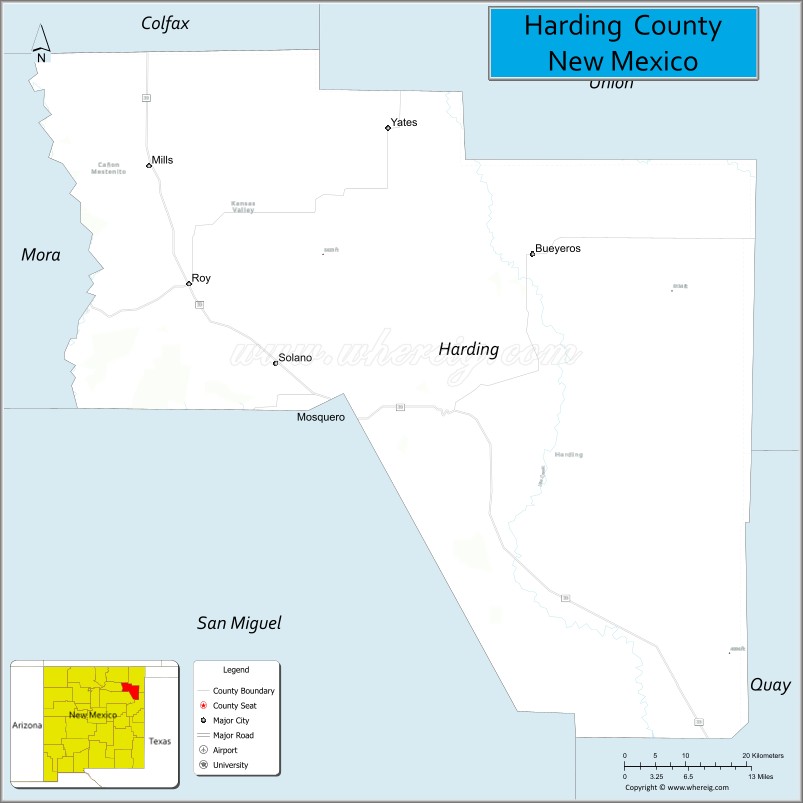
Harding County is a county in the U.S. state of New Mexico. As of the 2010 census, the population was 695, making it the least populous county in the state, and the 14th-smallest county by population in the United States. Its county seat is Mosquero. The county is named for United States President Warren G. Harding, and was created (from parts of Union and Mora Counties) on the day of his inauguration as president on March 4, 1921, making him the last president to have a county named after him.
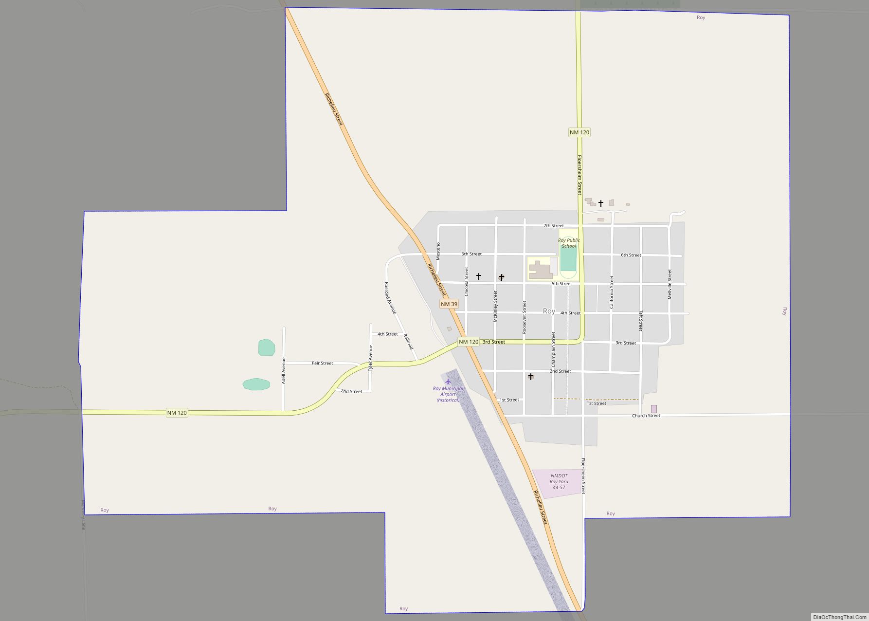
The only incorporated cities in Harding County are Roy and Mosquero.
| Name: | Harding County |
|---|---|
| FIPS code: | 35-021 |
| State: | New Mexico |
| Founded: | March 4, 1921 |
| Named for: | Warren G. Harding |
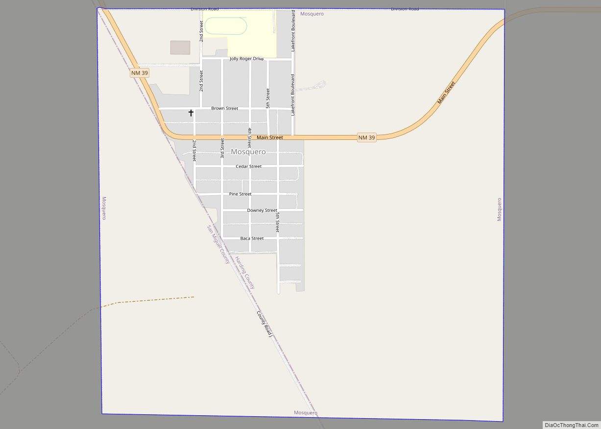
| Seat: | Mosquero |
| Total Area: | 2,126 sq mi (5,510 km²) |
| Land Area: | 2,125 sq mi (5,500 km²) |
| Total Population: | 639 |
| Population Density: | 0.3/sq mi (0.1/km²) |
| Time zone: | UTC−7 (Mountain) |
| Summer Time Zone (DST): | UTC−6 (MDT) |
| Website: | www.hardingcounty.org |
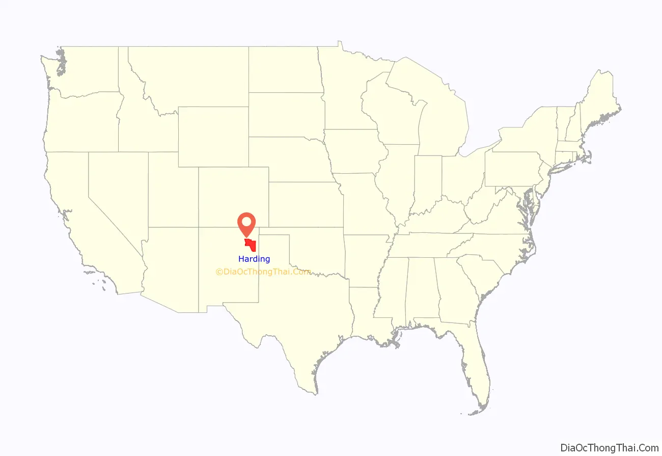
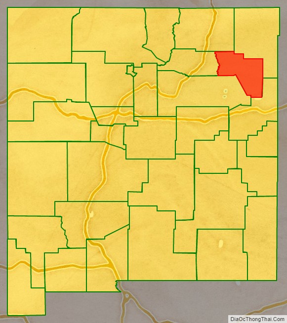
Harding County location map. Where is Harding County?
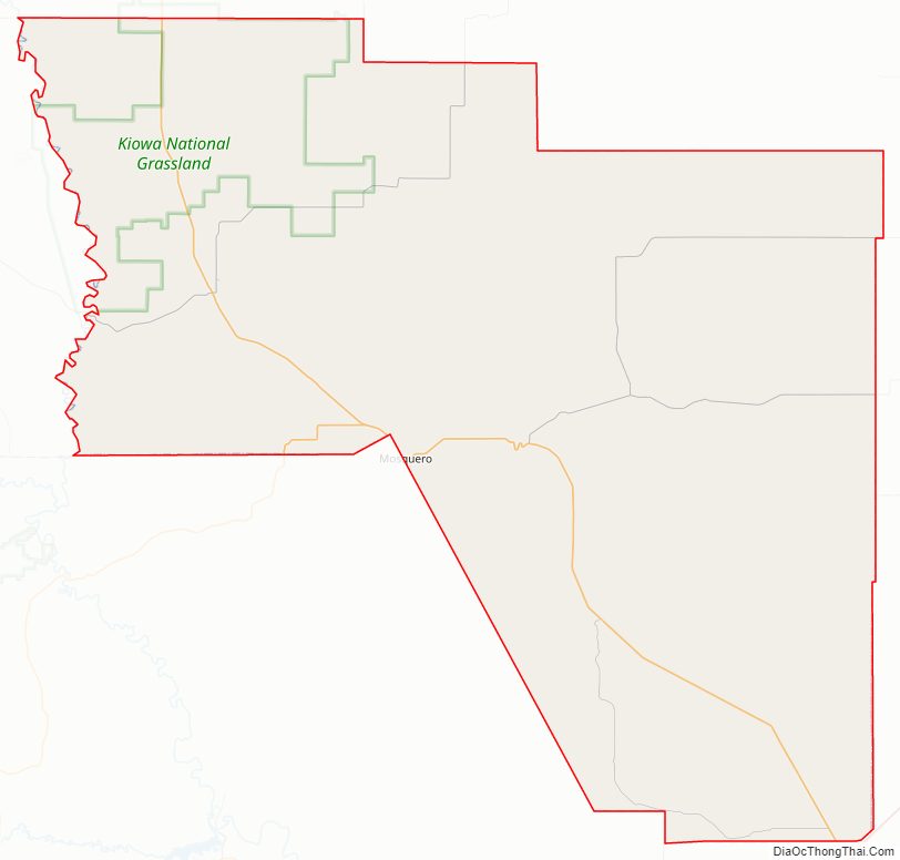
Harding County Road Map
Geography
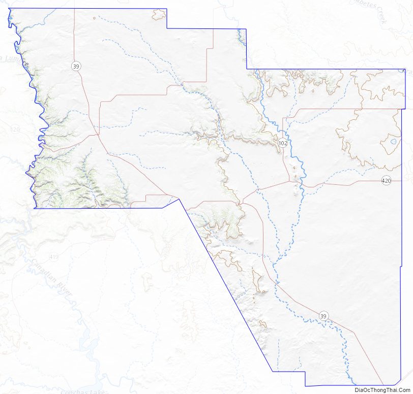
According to the U.S. Census Bureau, the county has a total area of 2,126 square miles (5,510 km), of which 2,125 square miles (5,500 km) is land and 0.4 square miles (1.0 km) (0.02%) is water. It is divided between a high, nearly treeless prairie to the northwest (the southern limit of the High Plains), and a lower semi-desert rangeland to the southeast, by the eastern portion of the steep Canadian Escarpment. The Canadian River, in a deep and narrow canyon, forms the western border with Mora County; the southwest border runs along the edge of the Bell Ranch land in San Miguel County. The eastern part of Harding County is underlain in part by the Bravo Dome carbon dioxide gas field, which is commercially extracted.
Adjacent counties
- Union County – northeast
- Quay County – southeast
- San Miguel County – south
- Mora County – west
- Colfax County – northwest
National protected area
- Kiowa National Grassland (part)
Harding County Topographic Map
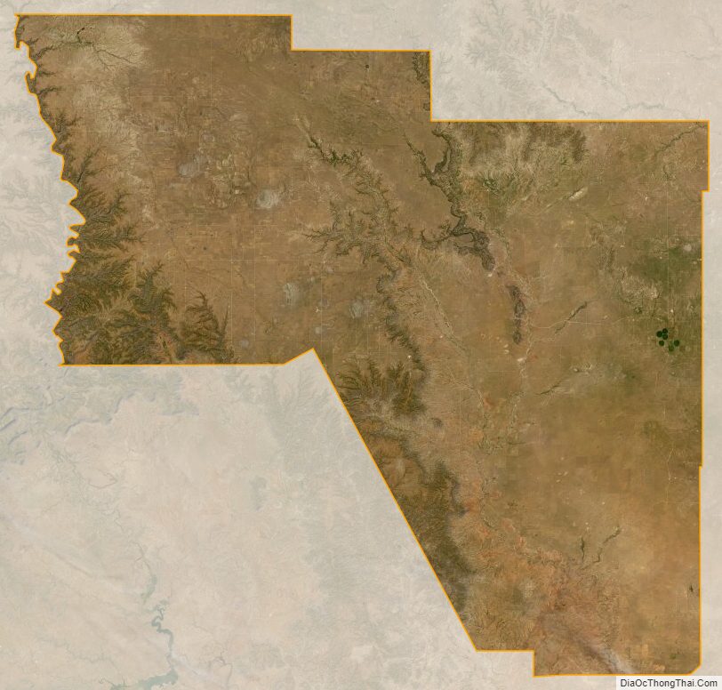
Harding County Satellite Map
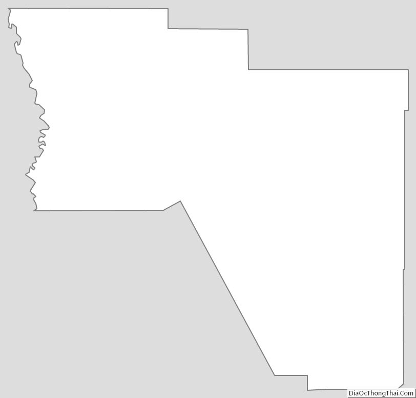
Harding County Outline Map