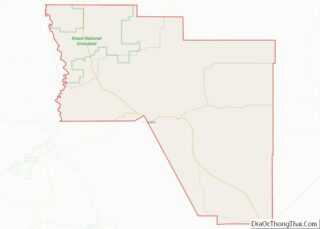
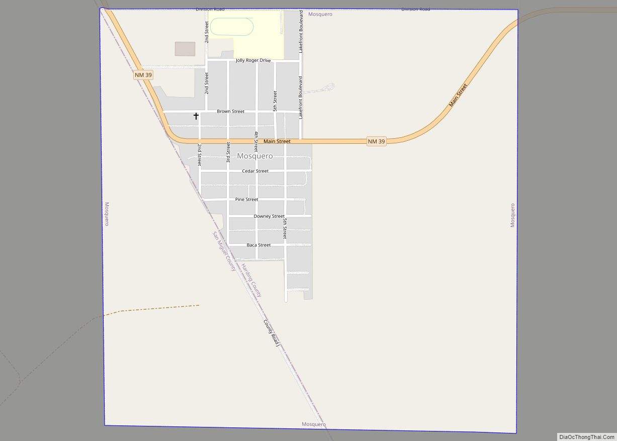
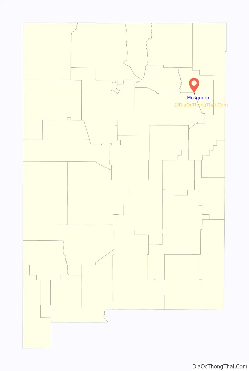
Mosquero is a village in Harding and San Miguel counties in the U.S. state of New Mexico. The population was 93 at the 2010 census, down from 120 in 2000. It is the county seat of Harding County; only a small portion of the village extends into San Miguel County.
| Name: | Mosquero village |
|---|---|
| LSAD Code: | 47 |
| LSAD Description: | village (suffix) |
| State: | New Mexico |
| County: | Harding County, San Miguel County |
| Elevation: | 5,591 ft (1,704 m) |
| Total Area: | 1.00 sq mi (2.58 km²) |
| Land Area: | 1.00 sq mi (2.58 km²) |
| Water Area: | 0.00 sq mi (0.00 km²) |
| Total Population: | 98 |
| Population Density: | 98.20/sq mi (37.92/km²) |
| ZIP code: | 87733 |
| Area code: | 575 |
| FIPS code: | 3550300 |
| GNISfeature ID: | 0892254 |
Online Interactive Map
Click on ![]() to view map in "full screen" mode.
to view map in "full screen" mode.
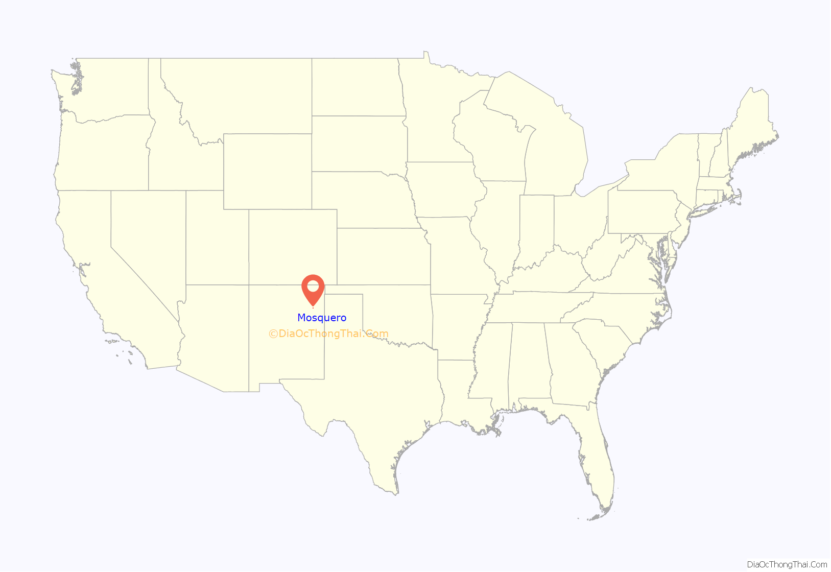
Mosquero location map. Where is Mosquero village?
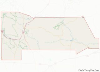
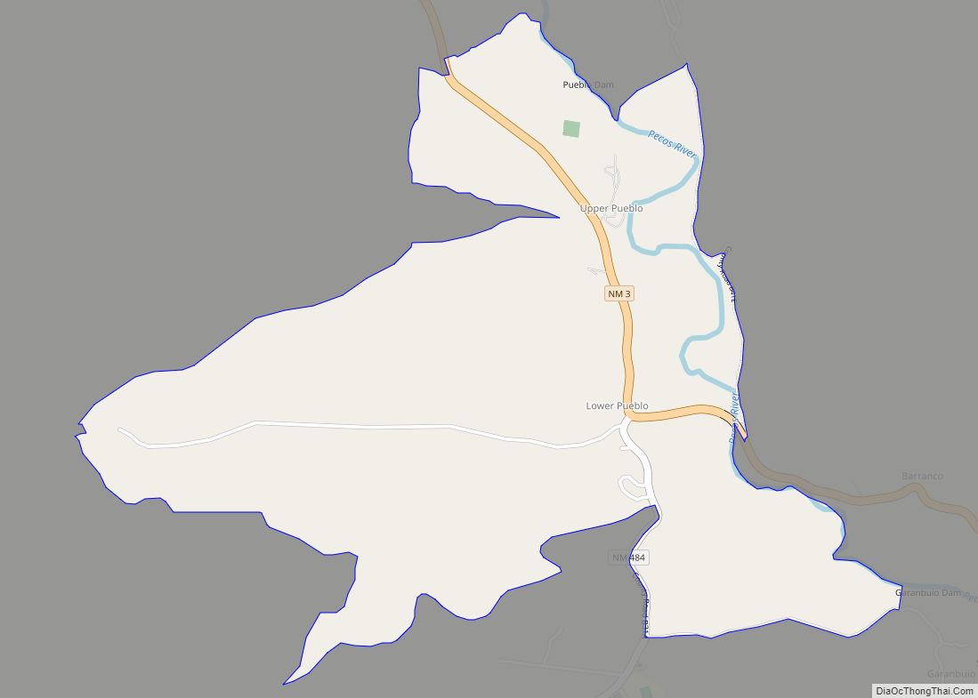
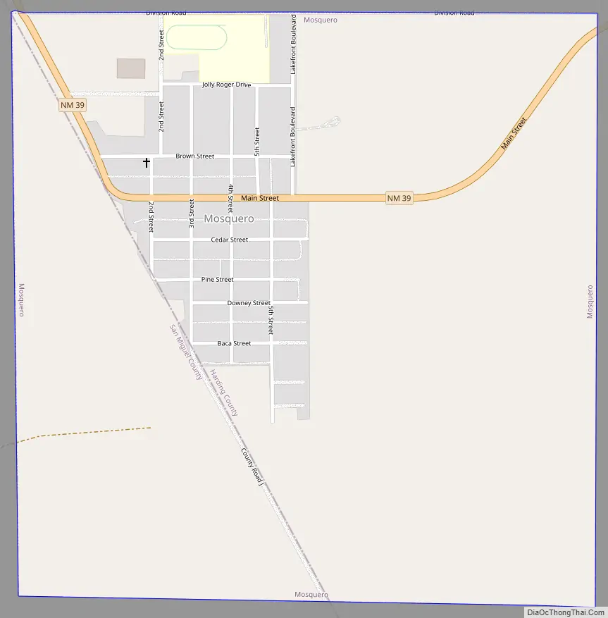
Mosquero Road Map
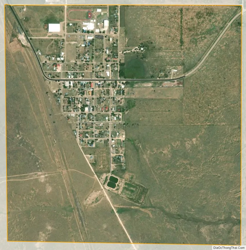
Mosquero city Satellite Map
Geography
Mosquero is located at 35°46′35″N 103°57′26″W / 35.77639°N 103.95722°W / 35.77639; -103.95722 (35.776293, -103.957133). New Mexico State Road 39 passes through the village, leading southeast 50 miles (80 km) to Logan and northwest 18 miles (29 km) to Roy.
According to the United States Census Bureau, the village has a total area of 1.0 square mile (2.6 km), all land.
See also
Map of New Mexico State and its subdivision: Map of other states:- Alabama
- Alaska
- Arizona
- Arkansas
- California
- Colorado
- Connecticut
- Delaware
- District of Columbia
- Florida
- Georgia
- Hawaii
- Idaho
- Illinois
- Indiana
- Iowa
- Kansas
- Kentucky
- Louisiana
- Maine
- Maryland
- Massachusetts
- Michigan
- Minnesota
- Mississippi
- Missouri
- Montana
- Nebraska
- Nevada
- New Hampshire
- New Jersey
- New Mexico
- New York
- North Carolina
- North Dakota
- Ohio
- Oklahoma
- Oregon
- Pennsylvania
- Rhode Island
- South Carolina
- South Dakota
- Tennessee
- Texas
- Utah
- Vermont
- Virginia
- Washington
- West Virginia
- Wisconsin
- Wyoming