D’Iberville (/diˈaɪbərvɪl/ dee-EYE-bər-vil) is a city in Harrison County, Mississippi, United States, immediately north of Biloxi, across the Back Bay. As of the 2010 United States Census, it had a population of 9,486. It is part of the Gulfport–Biloxi Metropolitan Statistical Area.
| Name: | D’Iberville city |
|---|---|
| LSAD Code: | 25 |
| LSAD Description: | city (suffix) |
| State: | Mississippi |
| County: | Harrison County |
| Elevation: | 13 ft (4 m) |
| Total Area: | 10.86 sq mi (28.12 km²) |
| Land Area: | 10.56 sq mi (27.36 km²) |
| Water Area: | 0.30 sq mi (0.77 km²) |
| Total Population: | 12,721 |
| Population Density: | 1,204.30/sq mi (465.00/km²) |
| ZIP code: | 39540 |
| Area code: | 228 |
| FIPS code: | 2819180 |
| GNISfeature ID: | 0669069 |
| Website: | diberville.ms.us |
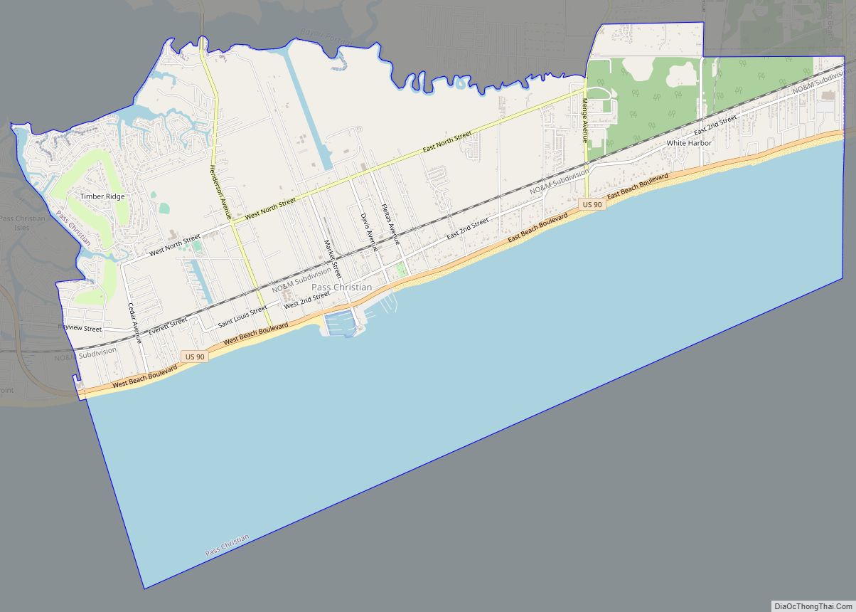
Online Interactive Map
Click on ![]() to view map in "full screen" mode.
to view map in "full screen" mode.
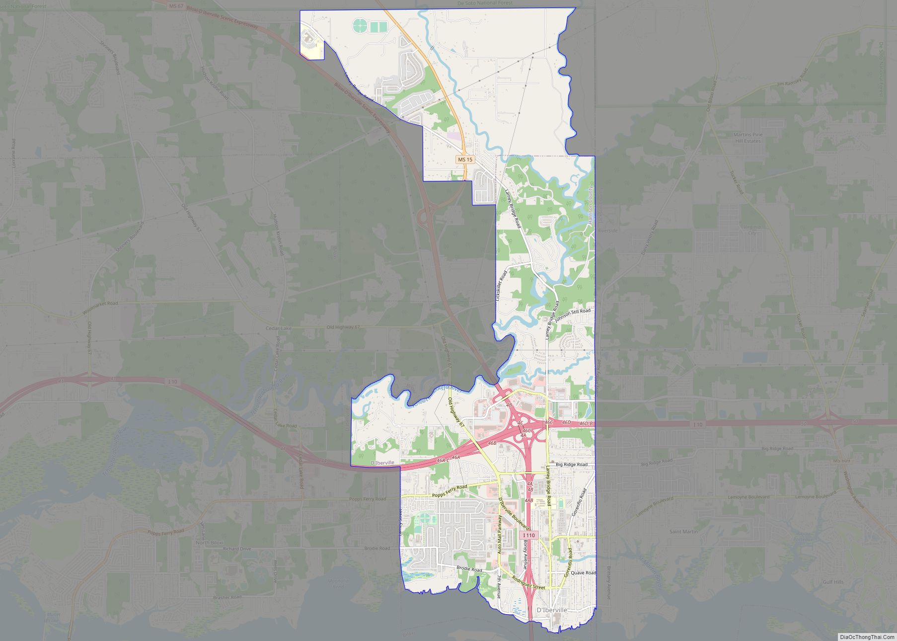
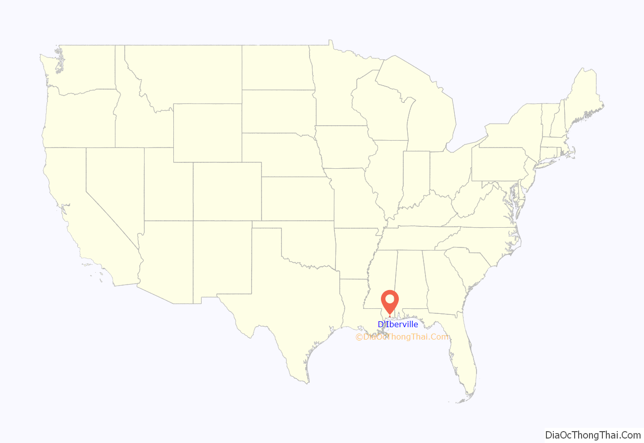
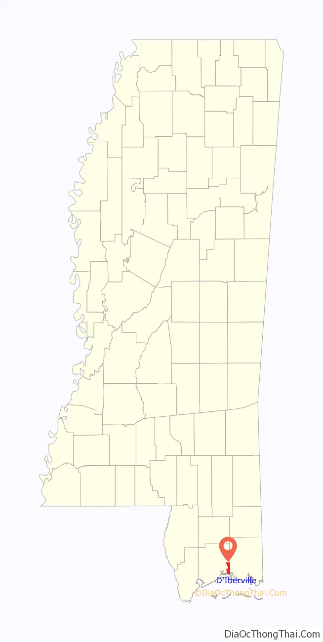
D’Iberville location map. Where is D’Iberville city?
History
D’Iberville was one of the Gulf Coast cities hit and extensively damaged by Hurricane Katrina on August 29, 2005. The following month, Mexican marines, the U.S. Navy, and Dutch navy sailors were sent to the city to clean up hurricane debris and distribute aid supplies.
As a result of an initiative by the Congress for the New Urbanism under the sponsorship of Governor Haley Barbour and the State of Mississippi, the City of D’Iberville received town design consulting services from some of the most prestigious urban designers in the country. Since then, the City of D’Iberville has been working with Jaime Correa and Associates on the implementation of its master plan, on a full-fledged New Urbanism SmartCode for its downtown area, and on the implementation of mixed-use neighborhoods and main street.
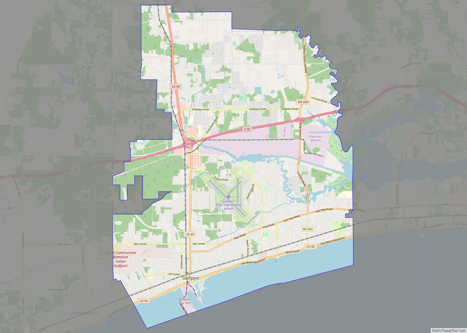
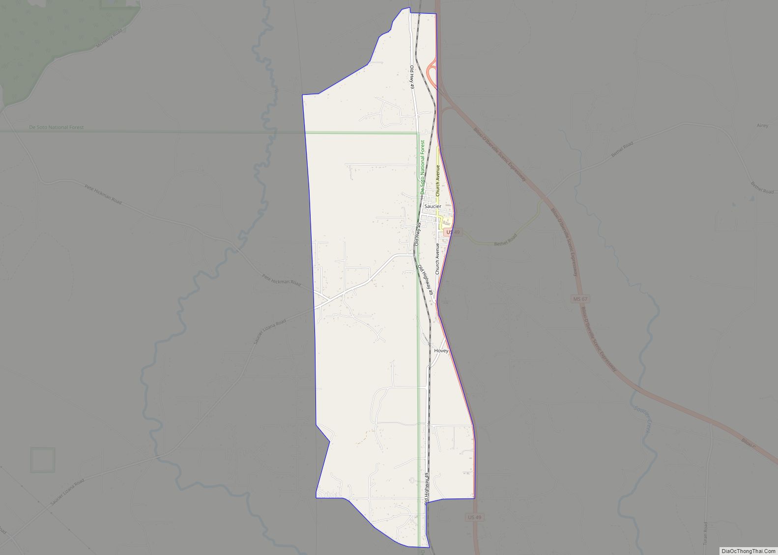
D’Iberville Road Map

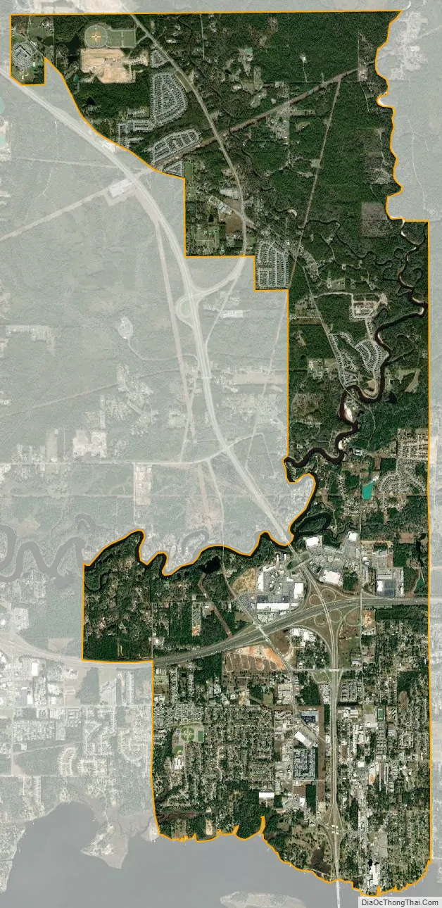
D’Iberville city Satellite Map
Geography
D’Iberville is located at 30°26′13″N 88°53′51″W / 30.437048°N 88.897619°W / 30.437048; -88.897619.
According to the United States Census Bureau, the city has a total area of 7.3 square miles (19.0 km), of which 7.1 square miles (18.3 km) is land and 0.27 square miles (0.7 km), or 3.84%, is water.
See also
Map of Mississippi State and its subdivision:- Adams
- Alcorn
- Amite
- Attala
- Benton
- Bolivar
- Calhoun
- Carroll
- Chickasaw
- Choctaw
- Claiborne
- Clarke
- Clay
- Coahoma
- Copiah
- Covington
- Desoto
- Forrest
- Franklin
- George
- Greene
- Grenada
- Hancock
- Harrison
- Hinds
- Holmes
- Humphreys
- Issaquena
- Itawamba
- Jackson
- Jasper
- Jefferson
- Jefferson Davis
- Jones
- Kemper
- Lafayette
- Lamar
- Lauderdale
- Lawrence
- Leake
- Lee
- Leflore
- Lincoln
- Lowndes
- Madison
- Marion
- Marshall
- Monroe
- Montgomery
- Neshoba
- Newton
- Noxubee
- Oktibbeha
- Panola
- Pearl River
- Perry
- Pike
- Pontotoc
- Prentiss
- Quitman
- Rankin
- Scott
- Sharkey
- Simpson
- Smith
- Stone
- Sunflower
- Tallahatchie
- Tate
- Tippah
- Tishomingo
- Tunica
- Union
- Walthall
- Warren
- Washington
- Wayne
- Webster
- Wilkinson
- Winston
- Yalobusha
- Yazoo
- Alabama
- Alaska
- Arizona
- Arkansas
- California
- Colorado
- Connecticut
- Delaware
- District of Columbia
- Florida
- Georgia
- Hawaii
- Idaho
- Illinois
- Indiana
- Iowa
- Kansas
- Kentucky
- Louisiana
- Maine
- Maryland
- Massachusetts
- Michigan
- Minnesota
- Mississippi
- Missouri
- Montana
- Nebraska
- Nevada
- New Hampshire
- New Jersey
- New Mexico
- New York
- North Carolina
- North Dakota
- Ohio
- Oklahoma
- Oregon
- Pennsylvania
- Rhode Island
- South Carolina
- South Dakota
- Tennessee
- Texas
- Utah
- Vermont
- Virginia
- Washington
- West Virginia
- Wisconsin
- Wyoming