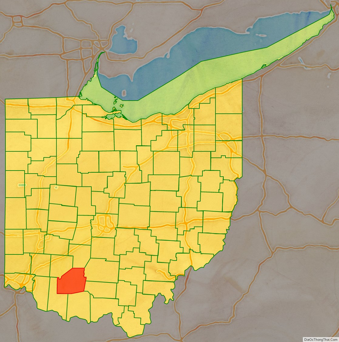
Highland County is a county located in the U.S. state of Ohio. As of the 2020 census, the population was 43,317. Its county seat is Hillsboro. The county is named for the topography which is hilly and divides the watersheds of the Little Miami and Scioto Rivers.
| Name: | Highland County |
|---|---|
| FIPS code: | 39-071 |
| State: | Ohio |
| Founded: | May 1, 1805 |
| Named for: | hilly topography which divides the Little Miami and Scioto river watersheds |
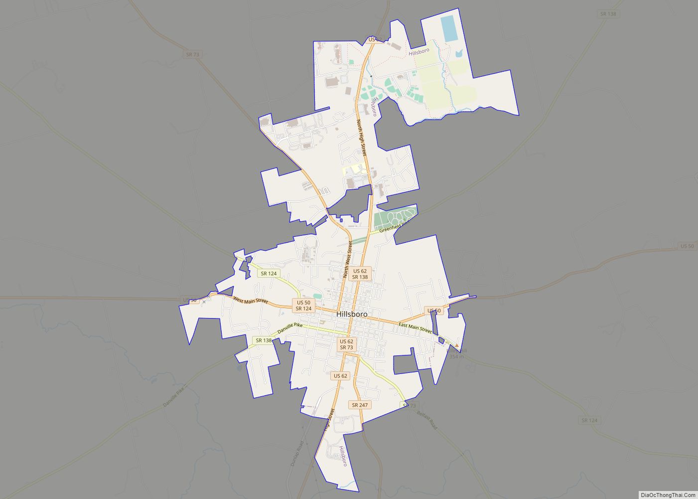
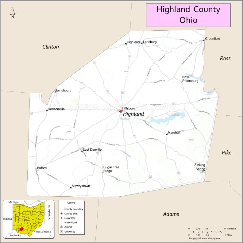
| Seat: | Hillsboro |
| Largest city: | Hillsboro |
| Total Area: | 558 sq mi (1,450 km²) |
| Land Area: | 553 sq mi (1,430 km²) |
| Total Population: | 43,317 |
| Population Density: | 78/sq mi (30/km²) |
| Time zone: | UTC−5 (Eastern) |
| Summer Time Zone (DST): | UTC−4 (EDT) |
| Website: | co.highland.oh.us |
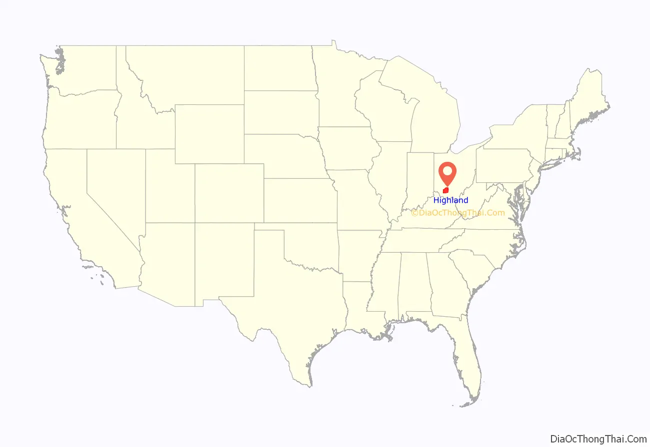
Highland County location map. Where is Highland County?
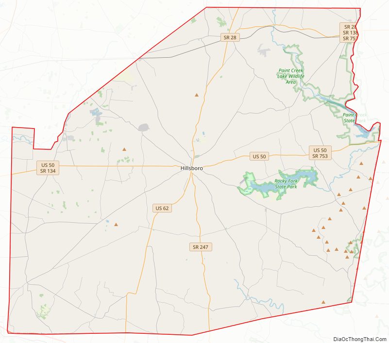
Highland County Road Map
Geography
According to the U.S. Census Bureau, the county has a total area of 558 square miles (1,450 km), of which 553 square miles (1,430 km) is land and 4.7 square miles (12 km) (0.8%) is water.
Adjacent counties
- Fayette County (north)
- Ross County (northeast)
- Pike County (east)
- Adams County (southeast)
- Brown County (southwest)
- Clinton County (northwest)
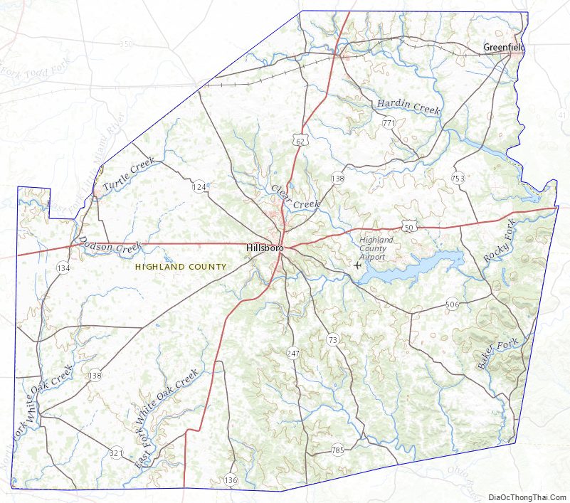
Major highways
- US 50
- US 62
Highland County Topographic Map
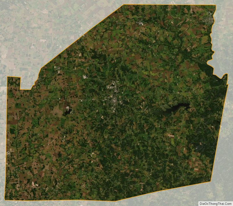
Highland County Satellite Map
Highland County Outline Map