Pike County is a county located in the Appalachian (southern) region of the U.S. state of Ohio. As of the 2020 census, the population was 27,088. Its county seat is Waverly. The county is named for explorer Zebulon Pike.
| Name: | Pike County |
|---|---|
| FIPS code: | 39-131 |
| State: | Ohio |
| Founded: | February 1, 1815 |
| Named for: | Zebulon Pike |
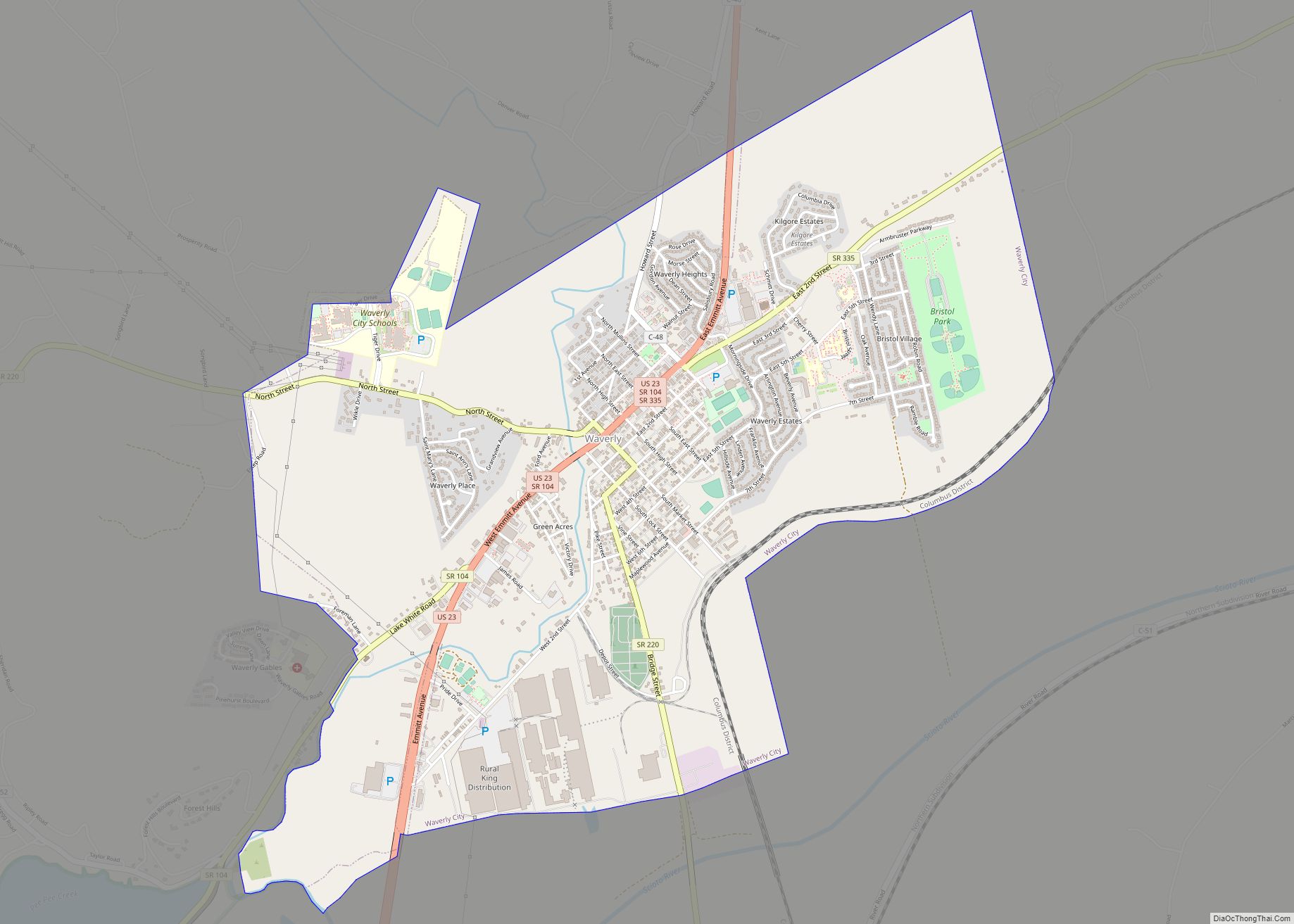
| Seat: | Waverly |
| Largest city: | Waverly |
| Total Area: | 444 sq mi (1,150 km²) |
| Land Area: | 440 sq mi (1,100 km²) |
| Total Population: | 27,088 |
| Population Density: | 61/sq mi (24/km²) |
| Time zone: | UTC−5 (Eastern) |
| Summer Time Zone (DST): | UTC−4 (EDT) |
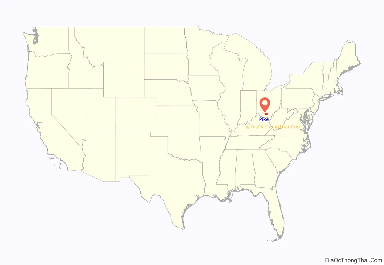
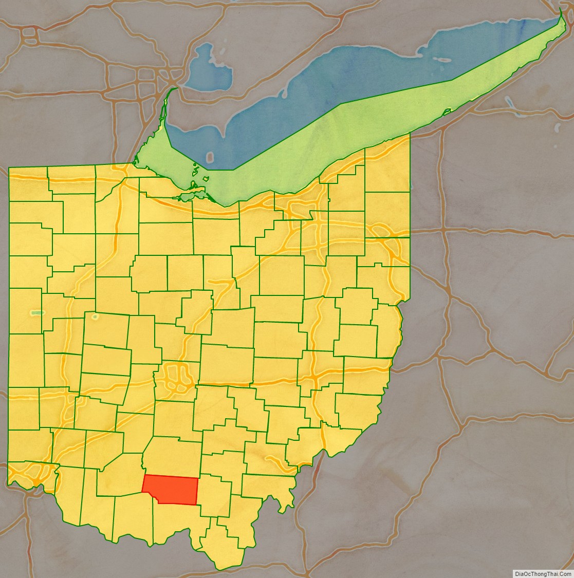
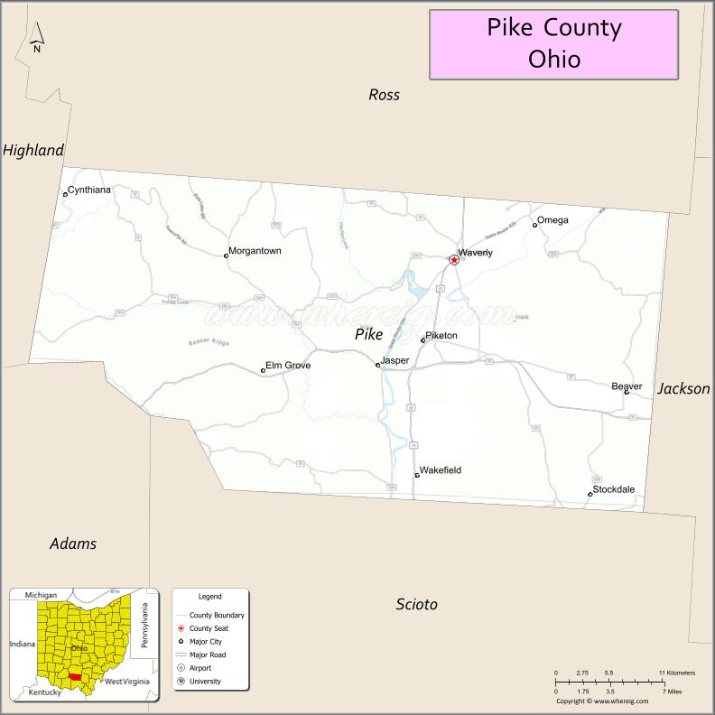
Pike County location map. Where is Pike County?
History
Pike County was organized on February 1, 1815, from portions of Scioto, Ross, and Adams Counties, and was named in honor of Zebulon Pike, the explorer and soldier who had recently been killed in the War of 1812. Pike County was the site of the Pike County Massacre where eight members of the Rhoden family were shot and killed the evening of April 21–22, 2016.
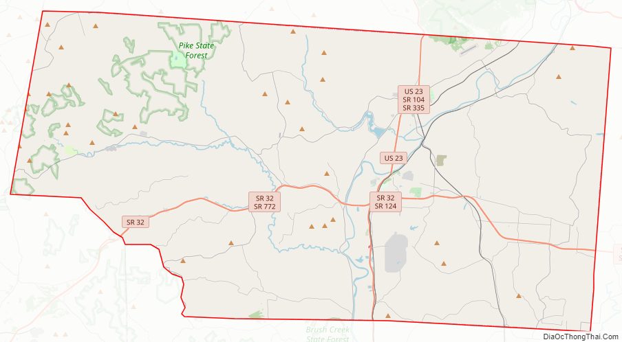
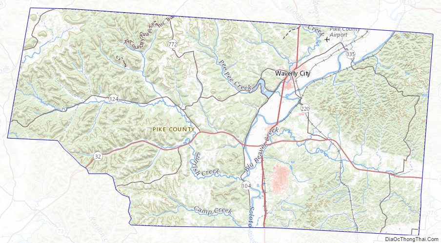
Pike County Road Map
Geography
According to the U.S. Census Bureau, the county has a total area of 444 square miles (1,150 km), of which 440 square miles (1,100 km) is land and 3.7 square miles (9.6 km) (0.8%) is water.
Adjacent counties
- Ross County (north)
- Jackson County (east)
- Scioto County (south)
- Adams County (southwest)
- Highland County (west)
Pike County Topographic Map
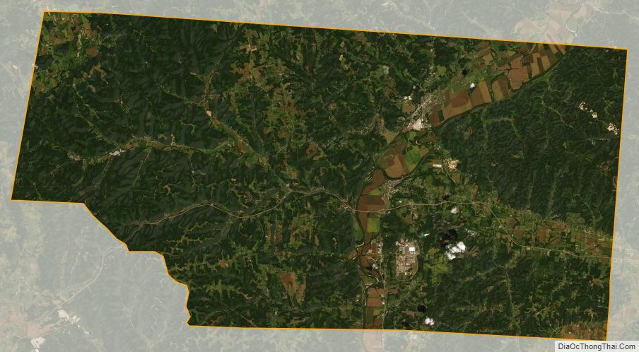
Pike County Satellite Map
Pike County Outline Map