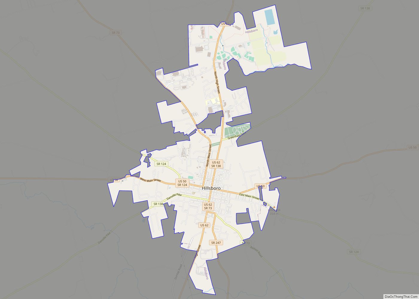
Hillsboro is a city in and the county seat of Highland County, Ohio, United States approximately 35 mi (56 km) west of Chillicothe, and 50 miles east of Cincinnati. The population was 6,605 at the 2010 census.
| Name: | Hillsboro city |
|---|---|
| LSAD Code: | 25 |
| LSAD Description: | city (suffix) |
| State: | Ohio |
| County: | Highland County |
| Elevation: | 1,122 ft (342 m) |
| Total Area: | 5.47 sq mi (14.18 km²) |
| Land Area: | 5.47 sq mi (14.18 km²) |
| Water Area: | 0.00 sq mi (0.00 km²) 0% |
| Total Population: | 6,481 |
| Population Density: | 1,183.74/sq mi (457.07/km²) |
| Area code: | 937, 326 |
| FIPS code: | 3935560 |
| GNISfeature ID: | 1064840 |
| Website: | http://www.hillsboroohio.net/ |
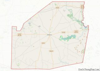
Online Interactive Map
Click on ![]() to view map in "full screen" mode.
to view map in "full screen" mode.
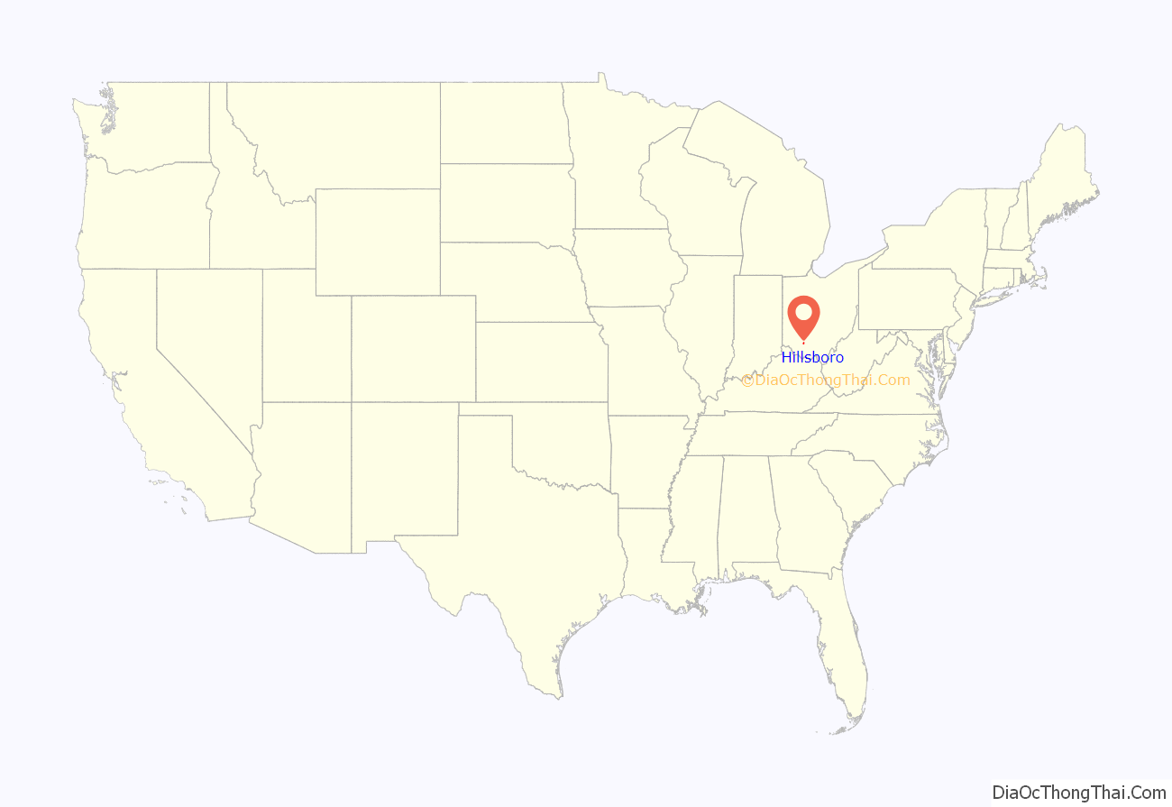
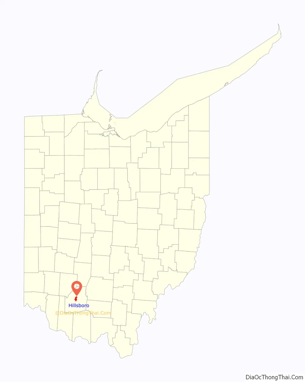
Hillsboro location map. Where is Hillsboro city?
History
Hillsboro was platted in 1807, and most likely named for the hills near the original town site. One of the late 19th century’s largest reform organizations, the Woman’s Christian Temperance Union that went on to play important roles in achieving women’s suffrage and prohibition, was founded in Hillsboro in 1873.
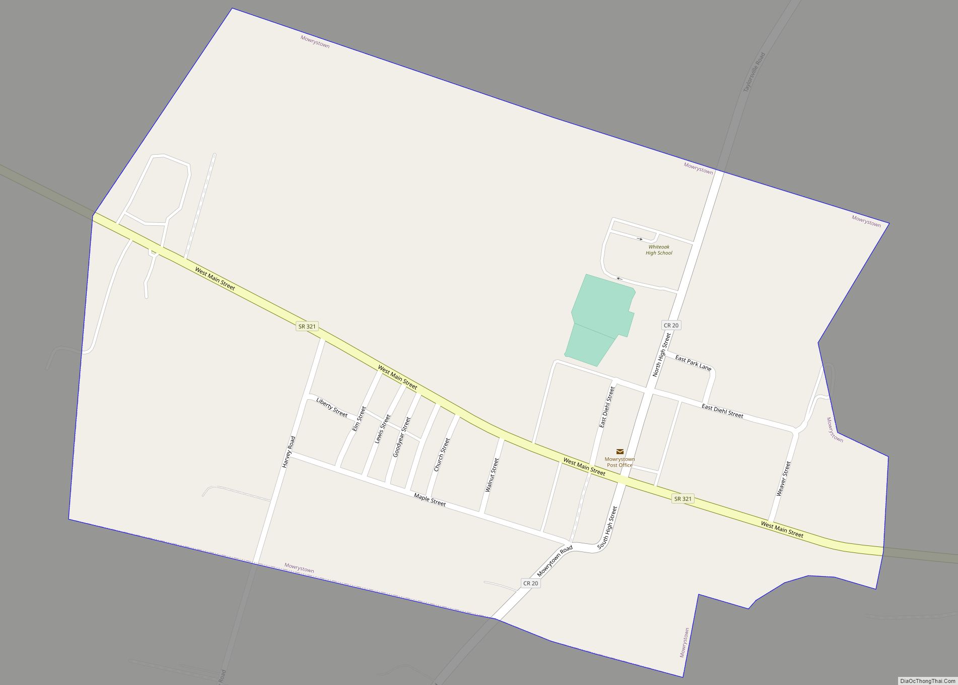
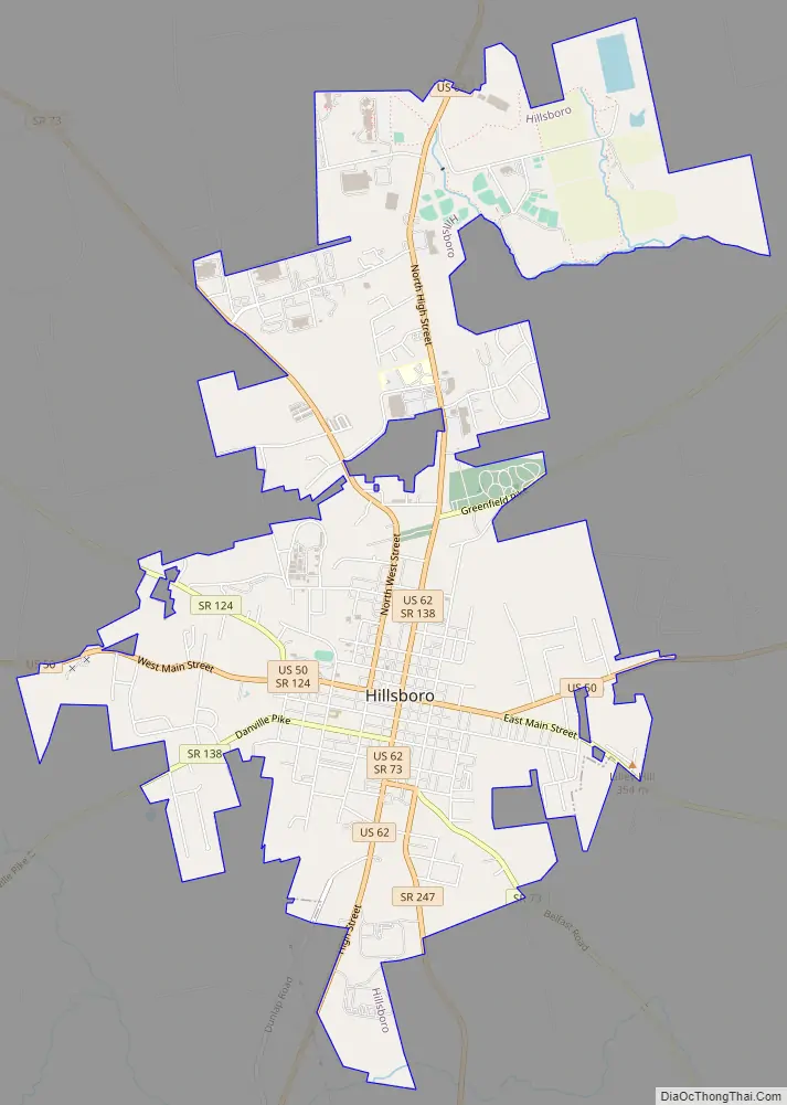
Hillsboro Road Map
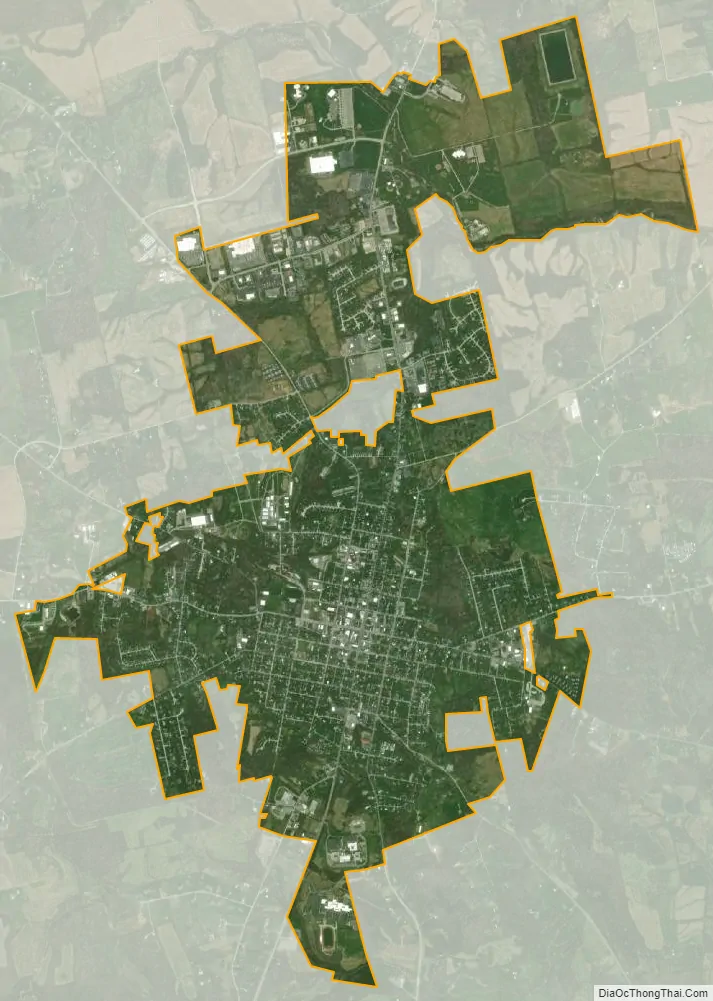
Hillsboro city Satellite Map
Geography
According to the United States Census Bureau, the city has a total area of 5.43 square miles (14.06 km), all land.
Hillsboro is located at the junction of U.S. Routes 50 and 62 and State Routes 73, 124, 138, and 247.
Climate
See also
Map of Ohio State and its subdivision:- Adams
- Allen
- Ashland
- Ashtabula
- Athens
- Auglaize
- Belmont
- Brown
- Butler
- Carroll
- Champaign
- Clark
- Clermont
- Clinton
- Columbiana
- Coshocton
- Crawford
- Cuyahoga
- Darke
- Defiance
- Delaware
- Erie
- Fairfield
- Fayette
- Franklin
- Fulton
- Gallia
- Geauga
- Greene
- Guernsey
- Hamilton
- Hancock
- Hardin
- Harrison
- Henry
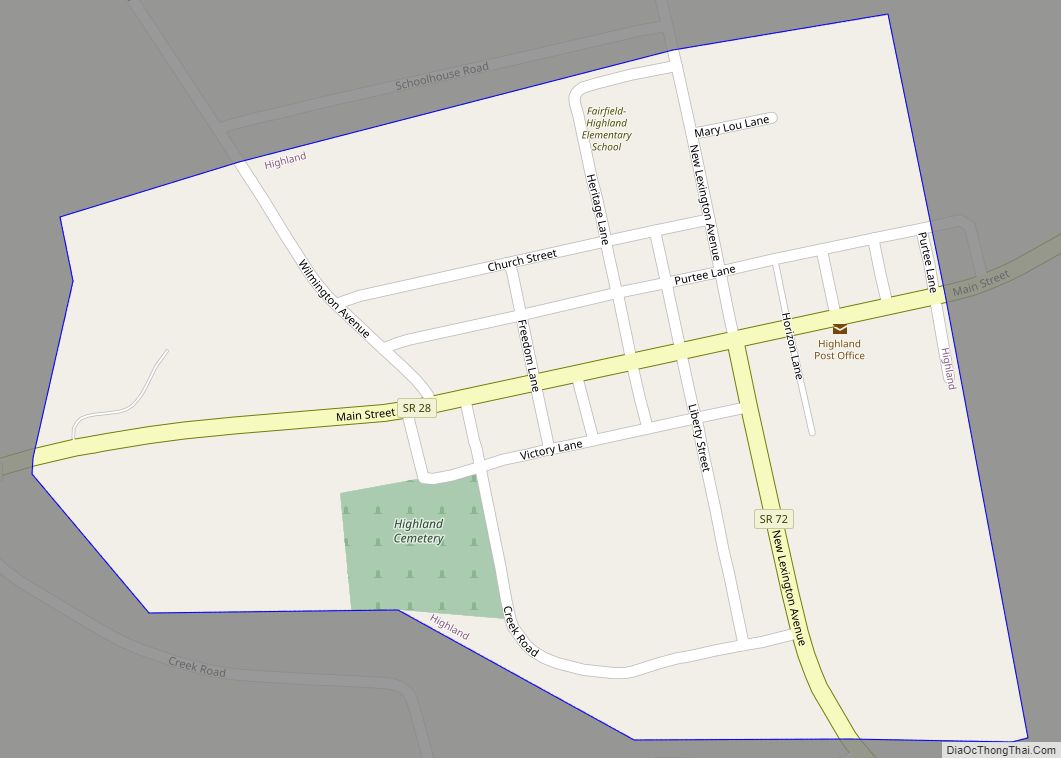
- Highland
- Hocking
- Holmes
- Huron
- Jackson
- Jefferson
- Knox
- Lake
- Lake Erie
- Lawrence
- Licking
- Logan
- Lorain
- Lucas
- Madison
- Mahoning
- Marion
- Medina
- Meigs
- Mercer
- Miami
- Monroe
- Montgomery
- Morgan
- Morrow
- Muskingum
- Noble
- Ottawa
- Paulding
- Perry
- Pickaway
- Pike
- Portage
- Preble
- Putnam
- Richland
- Ross
- Sandusky
- Scioto
- Seneca
- Shelby
- Stark
- Summit
- Trumbull
- Tuscarawas
- Union
- Van Wert
- Vinton
- Warren
- Washington
- Wayne
- Williams
- Wood
- Wyandot
- Alabama
- Alaska
- Arizona
- Arkansas
- California
- Colorado
- Connecticut
- Delaware
- District of Columbia
- Florida
- Georgia
- Hawaii
- Idaho
- Illinois
- Indiana
- Iowa
- Kansas
- Kentucky
- Louisiana
- Maine
- Maryland
- Massachusetts
- Michigan
- Minnesota
- Mississippi
- Missouri
- Montana
- Nebraska
- Nevada
- New Hampshire
- New Jersey
- New Mexico
- New York
- North Carolina
- North Dakota
- Ohio
- Oklahoma
- Oregon
- Pennsylvania
- Rhode Island
- South Carolina
- South Dakota
- Tennessee
- Texas
- Utah
- Vermont
- Virginia
- Washington
- West Virginia
- Wisconsin
- Wyoming