Ross County is a county in the Appalachian region of the U.S. state of Ohio. As of the 2020 United States Census, the population was 77,093. Its county seat is Chillicothe, the first and third capital of Ohio. Established on August 20, 1798, the county is named for Federalist Senator James Ross of Pennsylvania. Ross County comprises the Chillicothe, OH Micropolitan Statistical Area, which is also included in the Columbus-Marion-Zanesville, OH Combined Statistical Area.
| Name: | Ross County |
|---|---|
| FIPS code: | 39-141 |
| State: | Ohio |
| Founded: | 20 August 1798 |
| Named for: | James Ross |
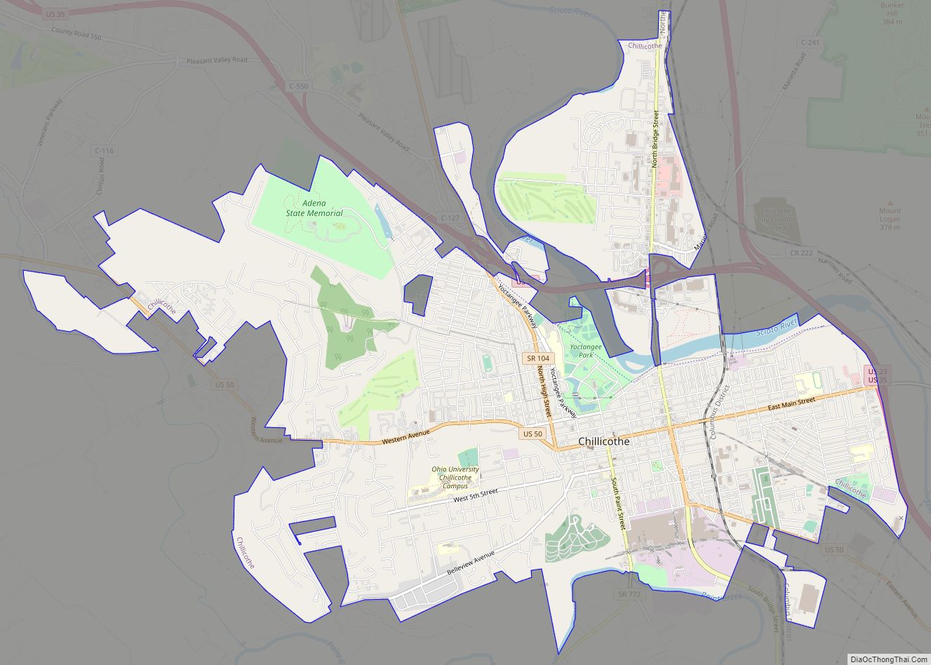
| Seat: | Chillicothe |
| Largest city: | Chillicothe |
| Total Area: | 693.03 sq mi (1,794.9 km²) |
| Land Area: | 689.19 sq mi (1,785.0 km²) |
| Total Population: | 77,093 |
| Population Density: | 110/sq mi (40/km²) |
| Time zone: | UTC−5 (Eastern) |
| Summer Time Zone (DST): | UTC−4 (EDT) |
| Website: | www.co.ross.oh.us |
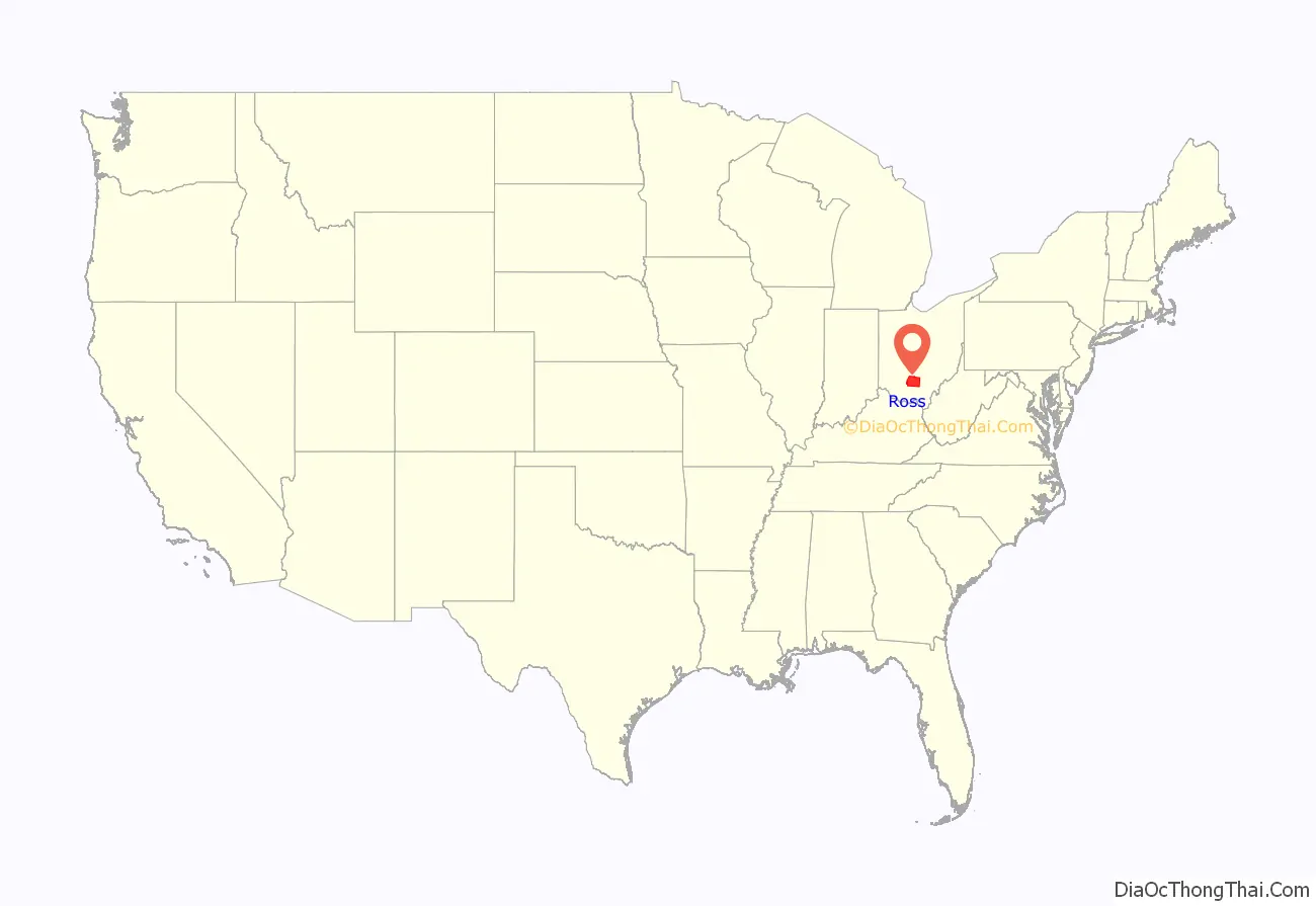
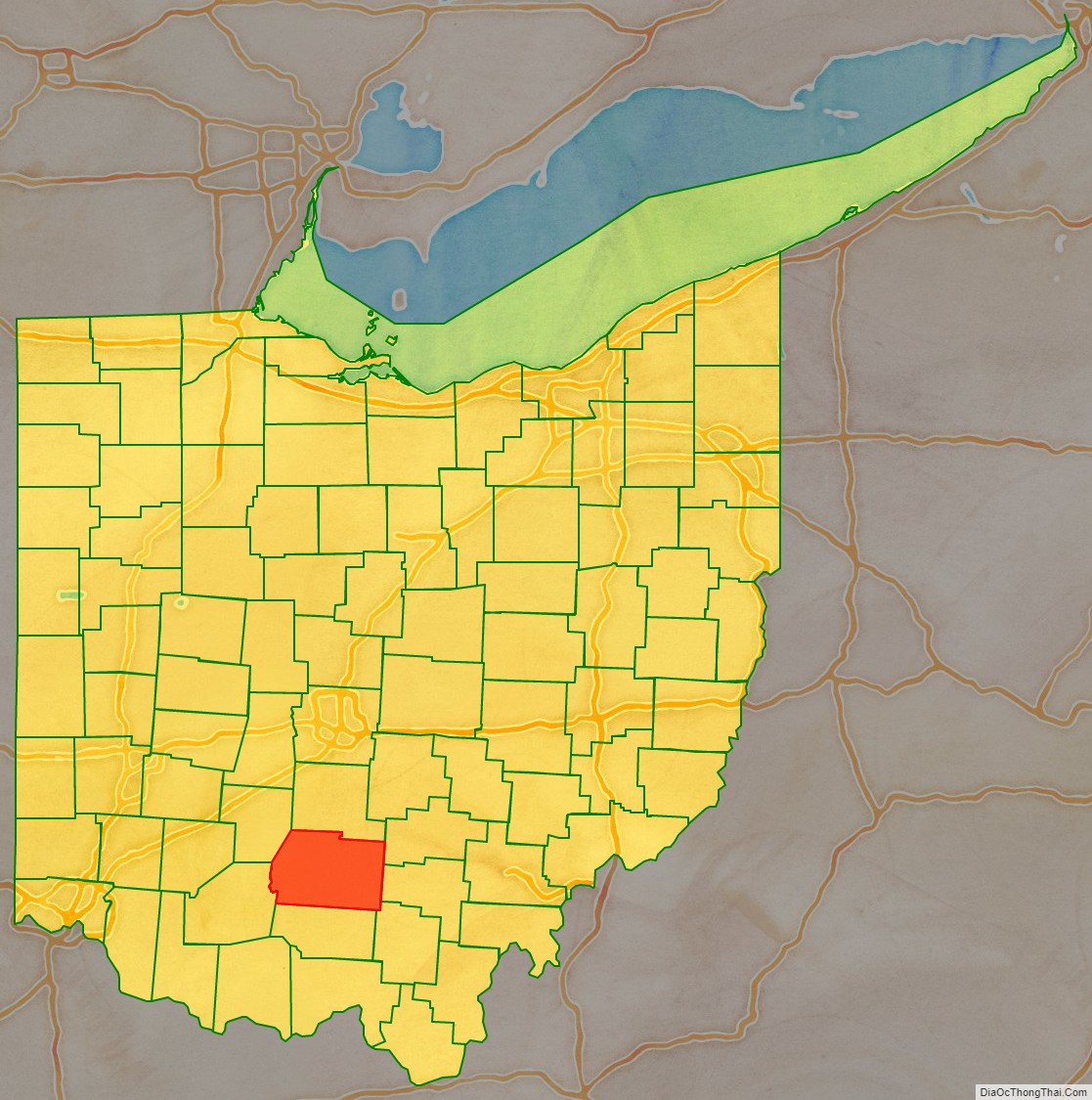
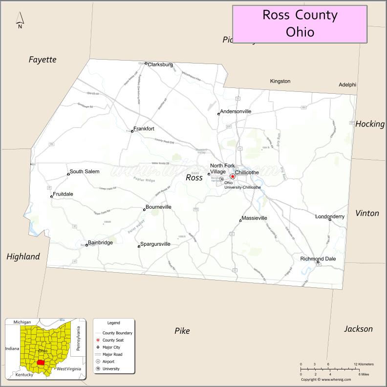
Ross County location map. Where is Ross County?
History
Ross County was described by Ephraim George Squier and Edwin Hamilton Davis as having almost “one hundred enclosures of various sizes, and five hundred mounds” in their book, Ancient Monuments of the Mississippi Valley (1848). They described the Indian-built earthworks as ranging from five to 30 feet in size, and enclosures of one to 50 acres large. These included Serpent Mound, Fort Ancient, Mound City, and Seip Earthworks (both now part of Hopewell Culture National Historical Park), and Newark Earthworks.
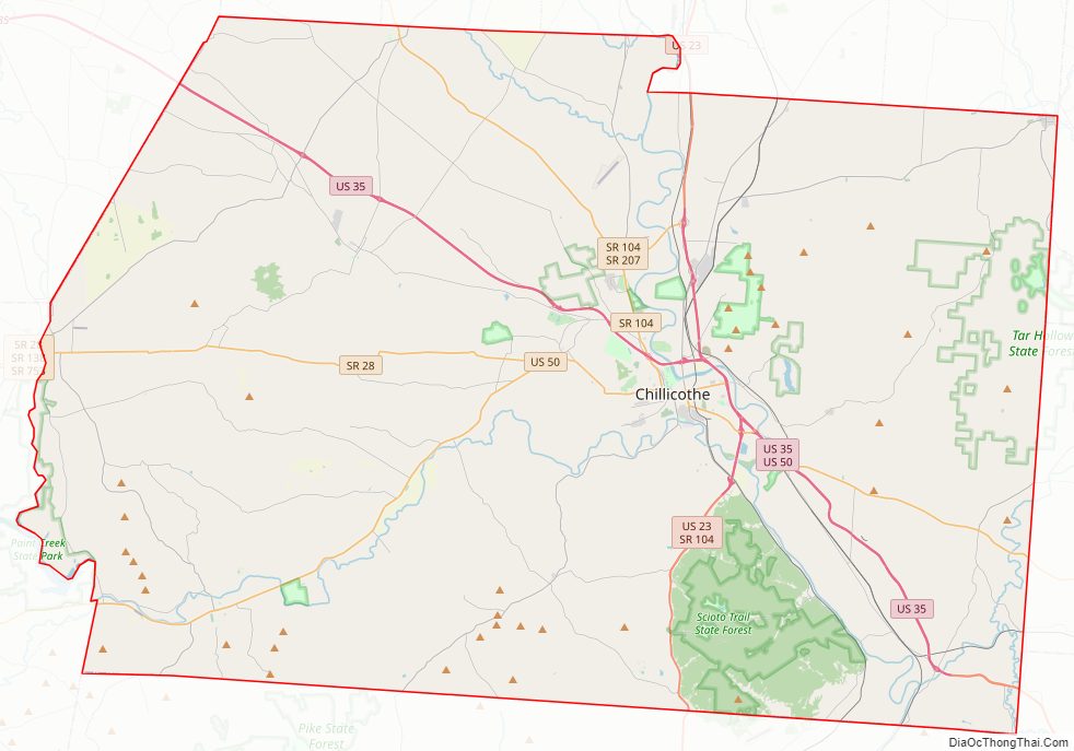
Ross County Road Map
Geography
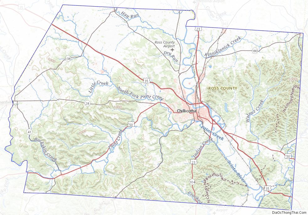
The Scioto River flows southward through the east-central part of the county. Paint Creek drains the lower central part of the county, flowing eastward to its terminus with the Scioto at a point southeast of Chillicothe. The county terrain consists of frequent wooded hills, with the intermediate level areas devoted to agriculture. The county’s highest point is Farrell Hill, six miles (10 km) northeast of Bainbridge. The county has a total area of 693 square miles (1,790 km), of which 689 square miles (1,780 km) is land and 3.8 square miles (9.8 km) (0.6%) is water. Ross County is the second-largest county by land area in Ohio, after Ashtabula County, as well as the fifth-largest by total area.
Adjacent counties
- Pickaway County – north
- Hocking County – northeast
- Vinton County – east
- Jackson County – southeast
- Pike County – south
- Highland County – southwest
- Fayette County – northwest
Protected areas
- Adena State Memorial
- Great Seal State Park
- Hopewell Culture National Historical Park
- Paint Creek State Park (part)
- Pleasant Valley Wildlife Area
- Ross Lake Wilderness Area
- Scioto Trail State Forest
- Scioto Trail State Park (part of American Discovery Trail)
- Tar Hollow State Forest (part)
Ross County Topographic Map
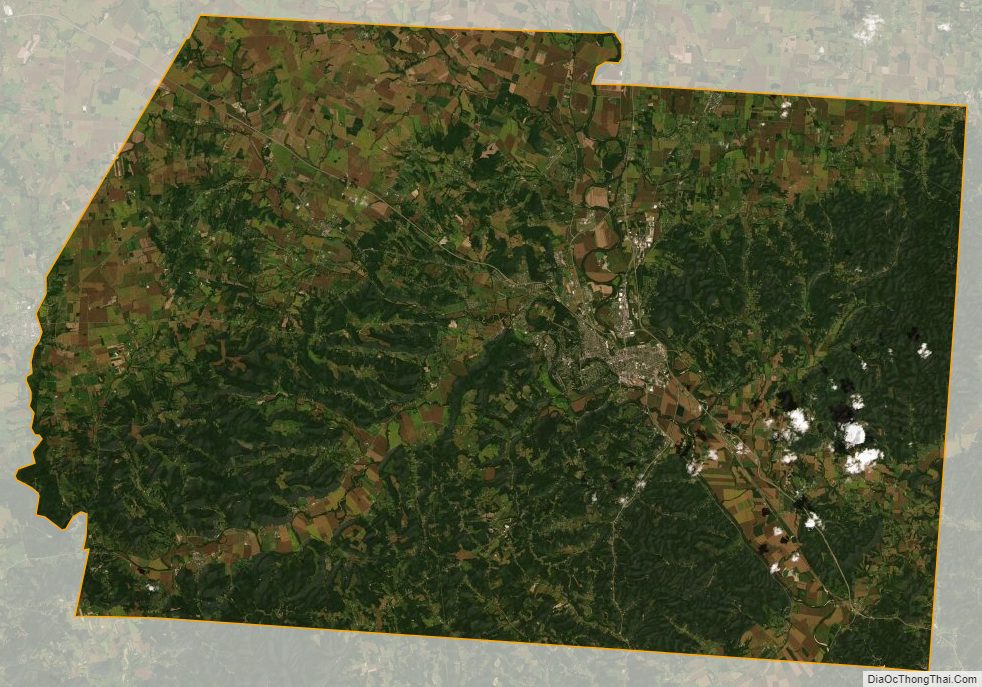
Ross County Satellite Map
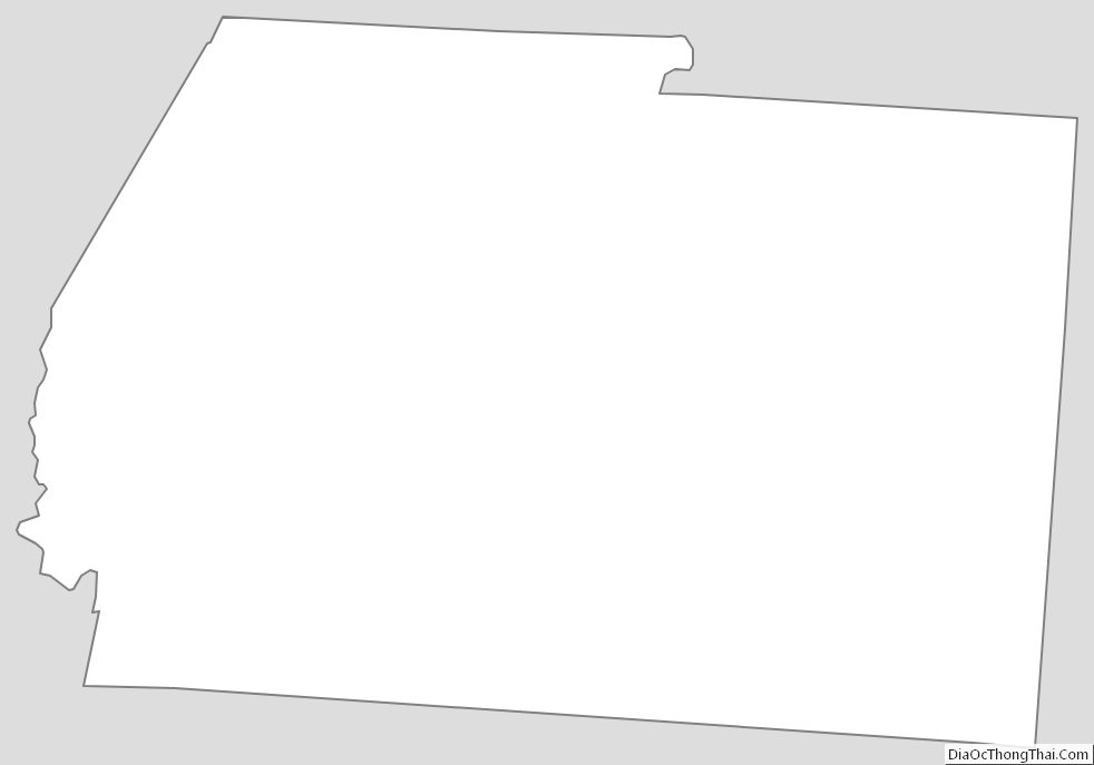
Ross County Outline Map