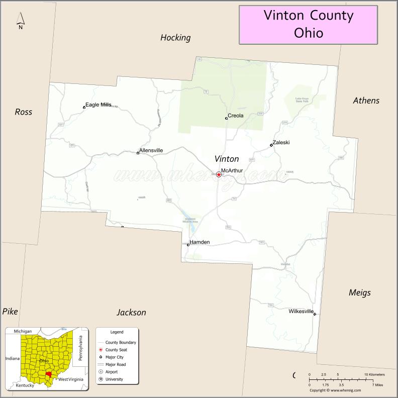
Vinton County is a county located in the U.S. state of Ohio. As of the 2020 census, the population was 12,800, making it the least populous county in the state. Its county seat is McArthur. The county is named for Samuel Finley Vinton, US Representative from Ohio (1823–37, 1843–51).
| Name: | Vinton County |
|---|---|
| FIPS code: | 39-163 |
| State: | Ohio |
| Founded: | March 23, 1850 |
| Named for: | Samuel Finley Vinton |
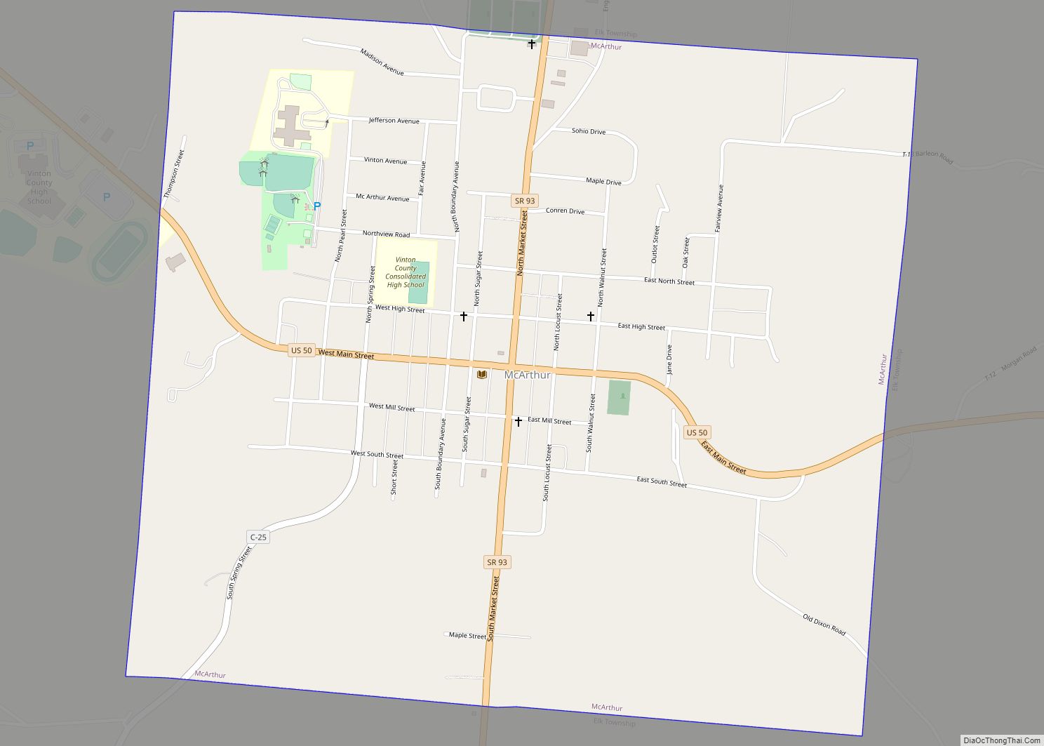
| Seat: | McArthur |
| Total Area: | 415 sq mi (1,070 km²) |
| Land Area: | 412 sq mi (1,070 km²) |
| Total Population: | 12,800 |
| Population Density: | 31/sq mi (12/km²) |
| Time zone: | UTC−5 (Eastern) |
| Summer Time Zone (DST): | UTC−4 (EDT) |
| Website: | www.vintoncounty.com |
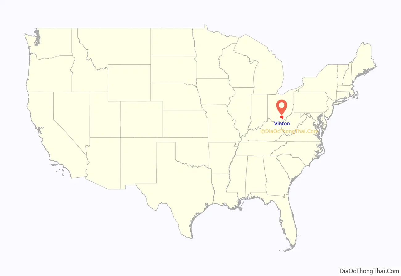
Vinton County location map. Where is Vinton County?
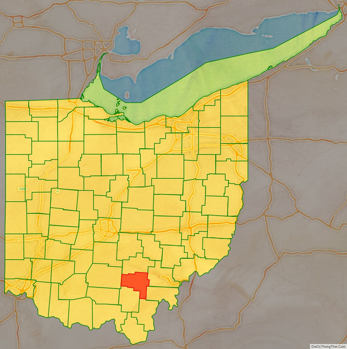
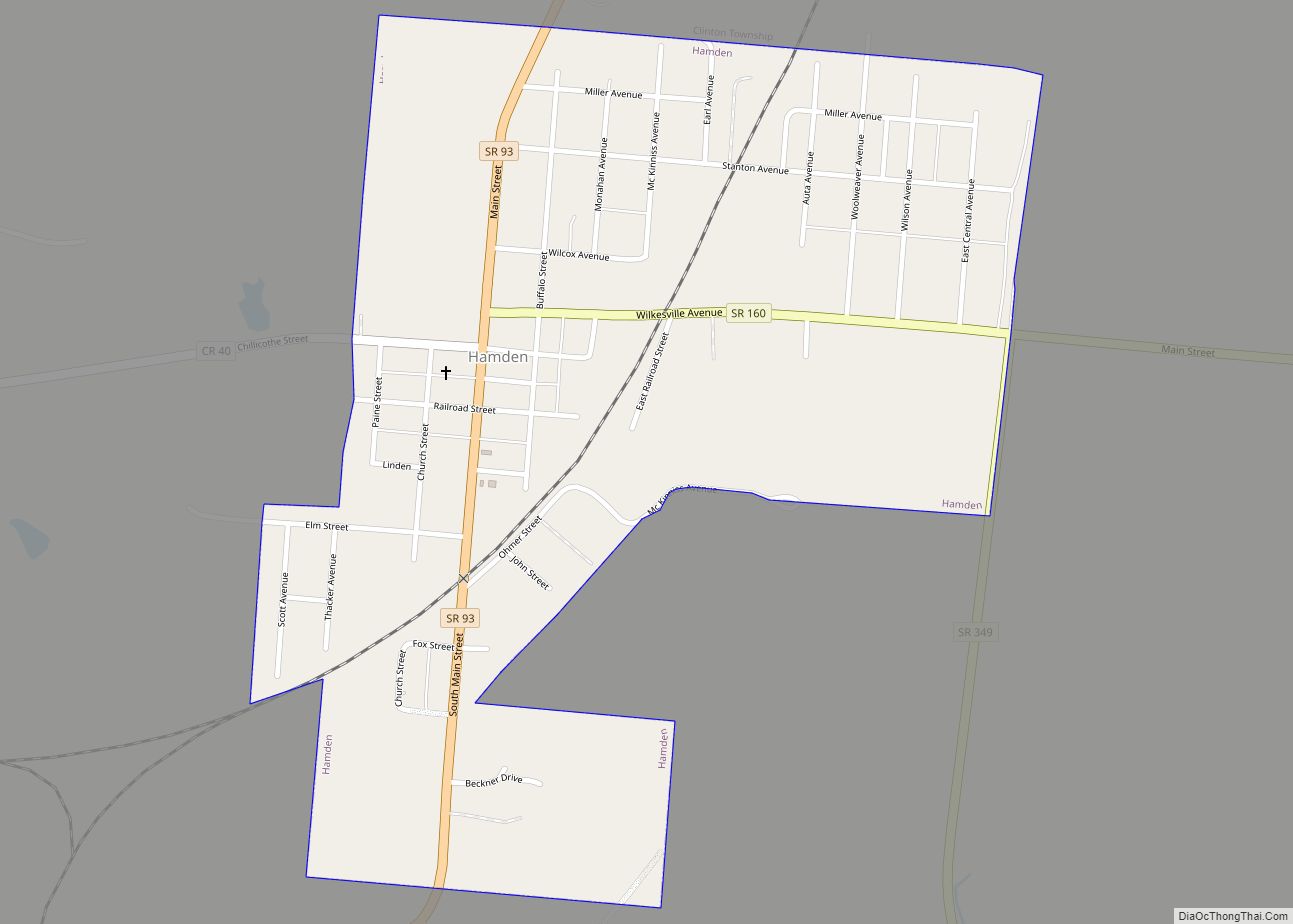
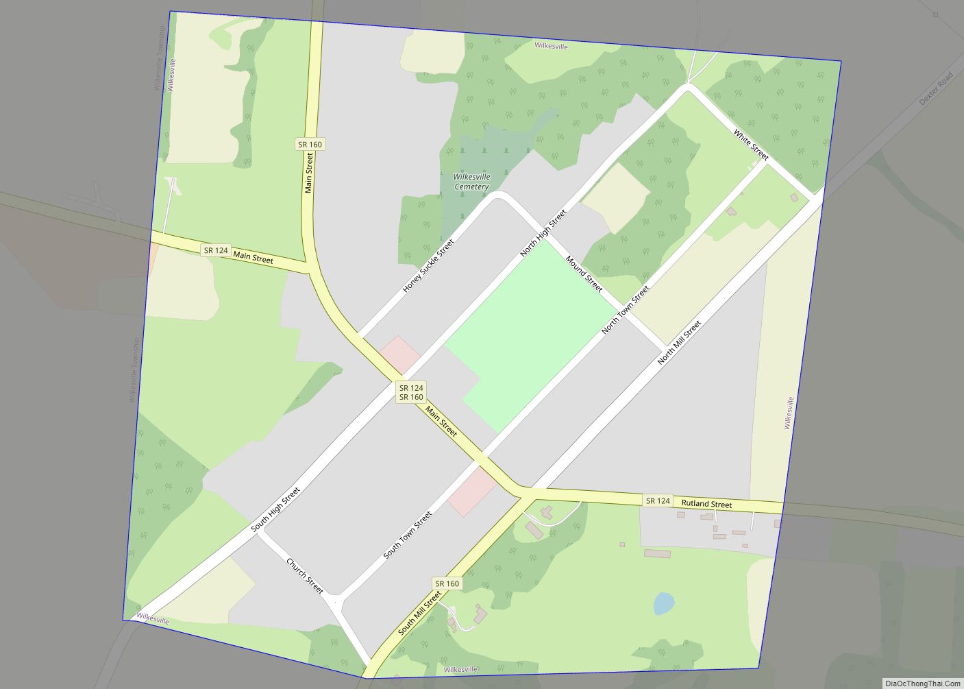
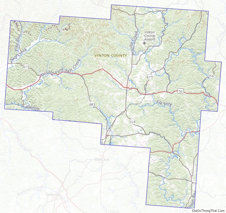
Vinton County Road Map
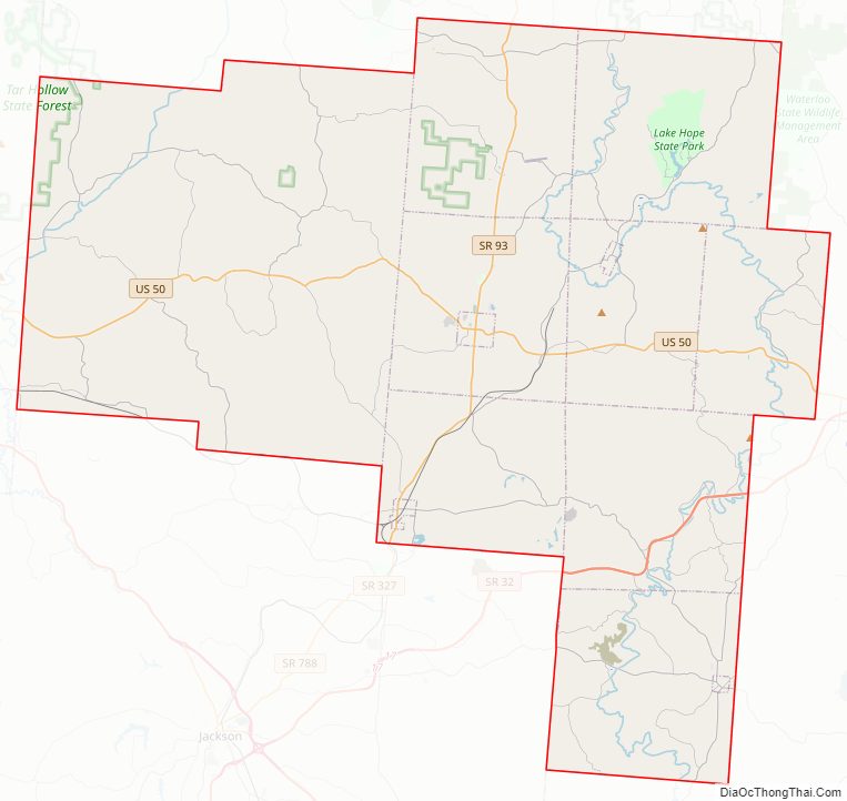
Geography
According to the United States Census Bureau, the county has a total area of 415 square miles (1,070 km), of which 412 square miles (1,070 km) is land and 2.6 square miles (6.7 km) (0.6%) is water.
Waterways
Most of Vinton County is in the Raccoon Creek watershed. Most of the rest of the county, to the west, is in the Salt Creek watershed.
Adjacent counties
- Hocking County (north)
- Athens County (northeast)
- Meigs County (east)
- Gallia County (southeast)
- Jackson County (south)
- Ross County (west)
Vinton County Topographic Map
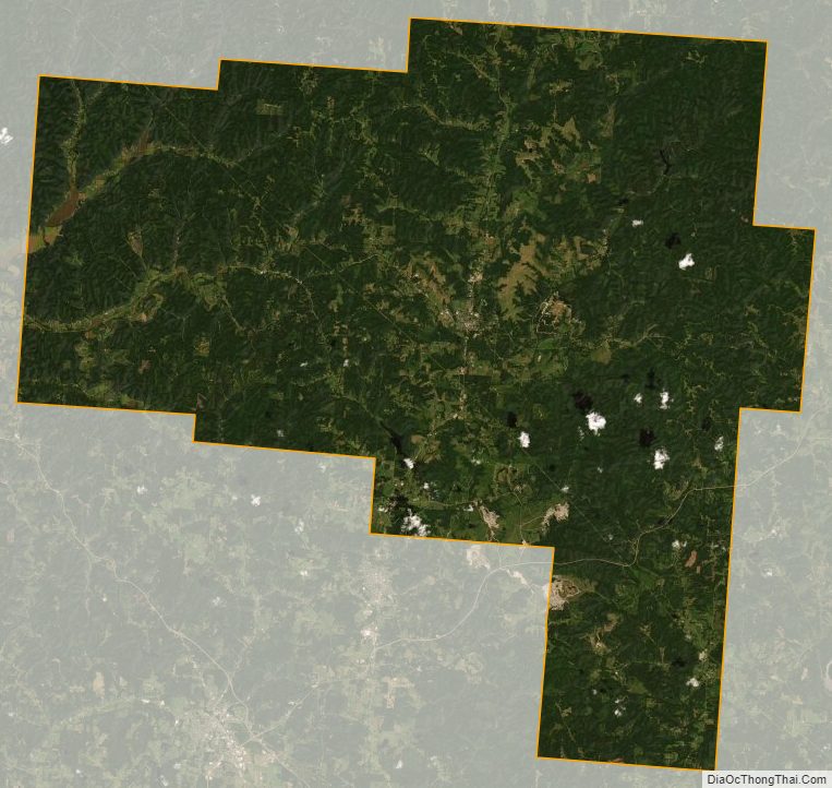
Vinton County Satellite Map
Vinton County Outline Map