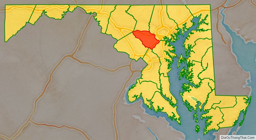
Howard County is located in the U.S. state of Maryland. As of the 2020 census, the population was 334,529. Since there are no incorporated municipalities, there is no incorporated county seat either. Therefore, its county seat is the unincorporated community of Ellicott City. Howard County is included in the Baltimore-Columbia-Towson, MD Metropolitan Statistical Area, which is also part of the larger Washington-Baltimore-Arlington, DC-MD-VA-WV-PA Combined Statistical Area.
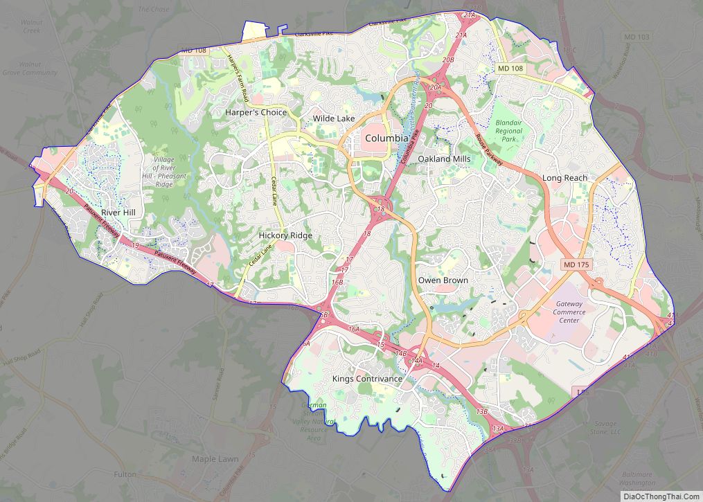
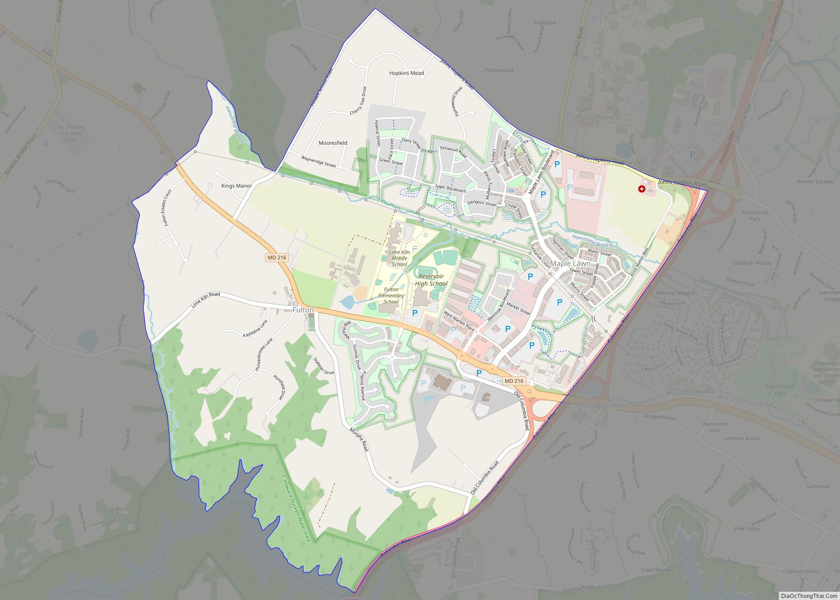
Recent south county development has led to some realignment towards the Washington, D.C. media and employment markets. The county is home to Columbia, a major planned community of approximately 100,000 founded in 1967.
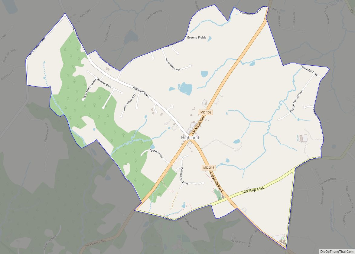
Howard County is frequently cited for its affluence, quality of life, and excellent schools. Its estimated 2020 median household income of $124,042 makes it one of the wealthiest counties in the US. Many of the most affluent communities in the area, such as Clarksville, Dayton, Glenelg, Glenwood, and West Friendship, are located along the Route 32 corridor in Howard County. The main population center of Columbia/Ellicott City is regularly ranked in Money magazine’s Top 10 “Best Places to Live”. According to data from the U.S. Census Bureau, Howard County ranks fourth in the nation for educational attainment, with an estimated 63.6% of residents 25 and over holding a bachelor’s degree or higher. In 2022, the Howard County Public School System, was ranked the best school district in Maryland and the Baltimore Area.
In 2010, the center of population of Maryland was located in the Howard County town of Jessup.
| Name: | Howard County |
|---|---|
| FIPS code: | 24-027 |
| State: | Maryland |
| Founded: | May 13, 1838 |
| Named for: | John Eager Howard |
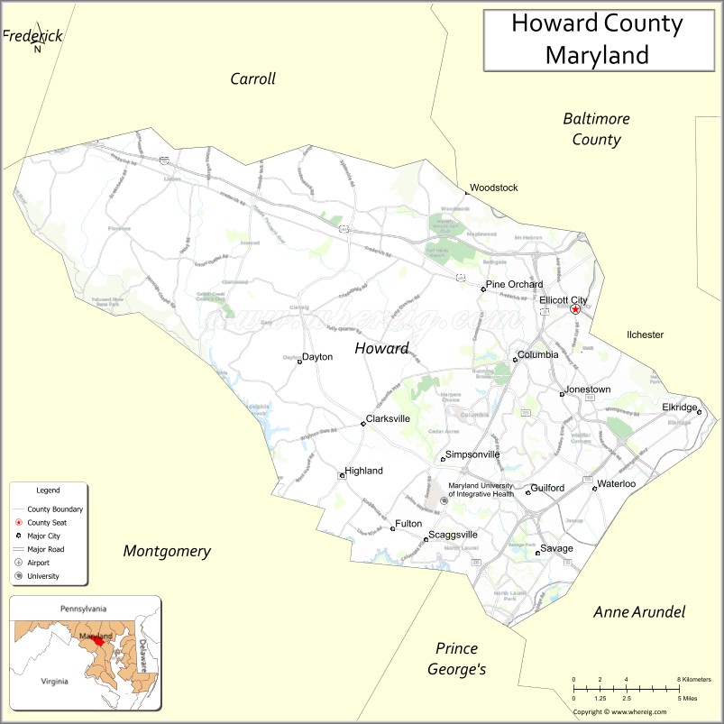
| Seat: | Ellicott City |
| Total Area: | 253 sq mi (660 km²) |
| Land Area: | 251 sq mi (650 km²) |
| Total Population: | 328,200 |
| Population Density: | 1,300/sq mi (500/km²) |
| Time zone: | UTC−5 (Eastern) |
| Summer Time Zone (DST): | UTC−4 (EDT) |
| Website: | www.howardcountymd.gov |
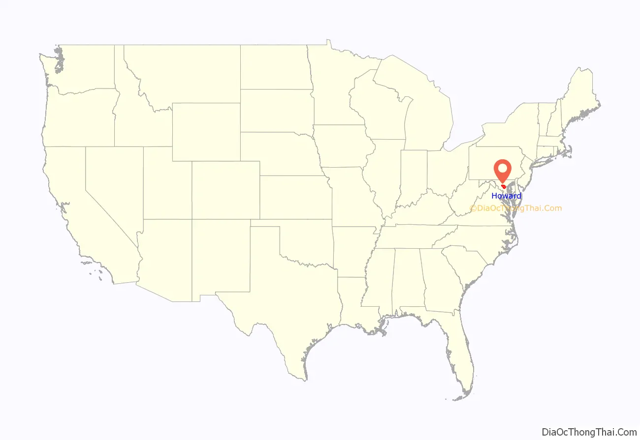
Howard County location map. Where is Howard County?
History
The lands of prehistoric Howard County were populated by Native Americans. The Maryland Historical Trust has documented sites along the Patapsco, Patuxent, Middle and Little Patuxent River valleys. In 1652, the Susquehannock tribes signed a peace treaty with Maryland, giving up their provenance over the territory that is now Howard County. In 1800, the mean center of U.S. population as calculated by the US Census Bureau was found in what is now Howard County.
In 1838, Dr. William Watkins of Richland Manor proposed the “Howard District” of Anne Arundel County. After several adjournments, the area of western Anne Arundel County was designated the Howard District in 1839. The district had the same status as a county except that it was not separately represented in the Maryland General Assembly. In 1841, the county built its first courthouse in Ellicott City. At the January 1851 constitutional convention, Thomas Beale Dorsey submitted a petition led by James Sykes. A committee was formed with Dorsey, Bowie, Smith, Harbine and Ricaud. After several postponements, the district was erected officially as Howard County on March 7, 1851.
The plantations of modern Howard County used slave labor as early as 1690. At the time of the Underground Railroad, some Howard County residents assisted slaves who were escaping to freedom. This was particularly risky, as many prominent plantation families were Confederate sympathizers during the Civil War, contributing militiamen to the South to protect local interests. Maryland was exempt from the Emancipation Proclamation, later abolishing slavery in the update of the Maryland Constitution in November 1864.
On May 1, 1883, Howard County joined Anne Arundel County and Harford County in liquor prohibition.
By 1899, Howard County contained 400 miles (640 km) of dirt and 48 miles (77 km) of stone roads, including three paid turnpikes maintained by 118 men. Most traffic consisted of loads delivered to rail crossings. In 1909, County Commissioners Hess, Werner and O’Neil were charged with malfeasance regarding contract bids.
In 1918, a deadly flu pandemic swept the county starting with an early outbreak in Camp Meade in adjacent Anne Arundel County. The 1930s saw a shift from one-room schoolhouses to centralized schools with bus service. By 1939 wheat harvesting fell to just 18,800 acres (7,600 ha). In 1940, local newspaper owner Paul Griffith Stromberg led a five-county commission to study a superhighway between Baltimore and Washington through Howard County. The Federal Aid Highway Act of 1956 eventually led to the construction of Interstate 70 across northern Howard County and Interstate 95 across the eastern part of the county. The sparsely populated county hosted population centers in Ellicott City, Elkridge, Savage, North Laurel and Lisbon with W.R. Grace and Johns Hopkins Applied Physics Lab as the largest new employers. Residents elected officials that campaigned to keep the county rural while planners prepared public works to support a quarter million residents by the year 2000. Race relations and desegregation became major issues of the time.
From 1963 to 1966 the Rouse Company bought 14,000 acres (5,700 ha) of land and rezoned it for the Columbia Development. In 1972, the Marriott company proposed to build a regional theme park on Rouse-owned land but was denied zoning.
The county has a number of properties on the National Register of Historic Places.
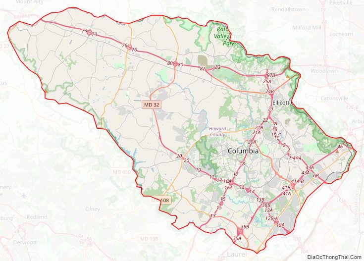
Howard County Road Map
Geography
According to the U.S. Census Bureau, the county has a total area of 253 square miles (660 km), of which 251 square miles (650 km) is land and 2.7 square miles (7.0 km) (1.0%) is water. It is the second-smallest county in Maryland by land area and smallest by total area.
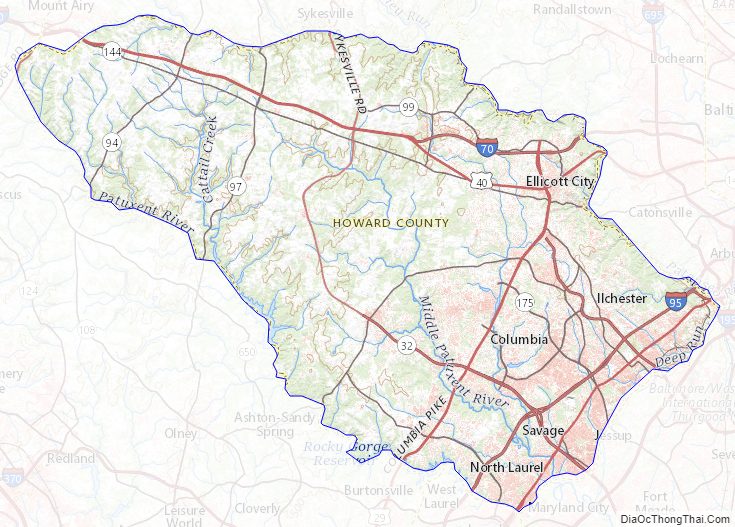
Howard County is located in the Piedmont Plateau region of Maryland, with rolling hills making up most of the landscape. It is bounded on the north and northeast by the Patapsco River, on the southwest by the Patuxent River, and on the southeast by a land border with Anne Arundel County. Both the Patapsco and Patuxent run largely through publicly accessible parkland along the county borders. The Patuxent border includes the Triadelphia and Rocky Gorge reservoirs.
Adjacent counties
- Anne Arundel County (southeast)
- Baltimore County (northeast)
- Carroll County (north)
- Montgomery County (southwest)
- Prince George’s County (south)
Climate
Howard County lies in the humid subtropical climate zone. As one travels west in the county away from the Baltimore area, the winter temperatures get lower and winter snow is more common. Annual rainfall is about 45 inches (1,100 mm) throughout the county. Over a 60-year period from 1950 to 2010, there were 394 National Climatic Data Center reportable events causing 617 injuries, and 99 fatalities. There were 9 reported tornadoes, reaching a maximum of F2, with no recorded fatalities.
Howard County Topographic Map
Howard County Satellite Map

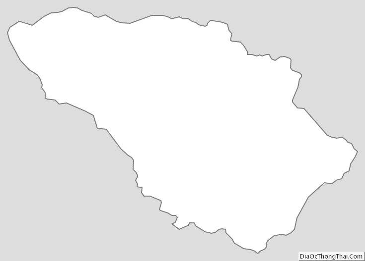
Howard County Outline Map