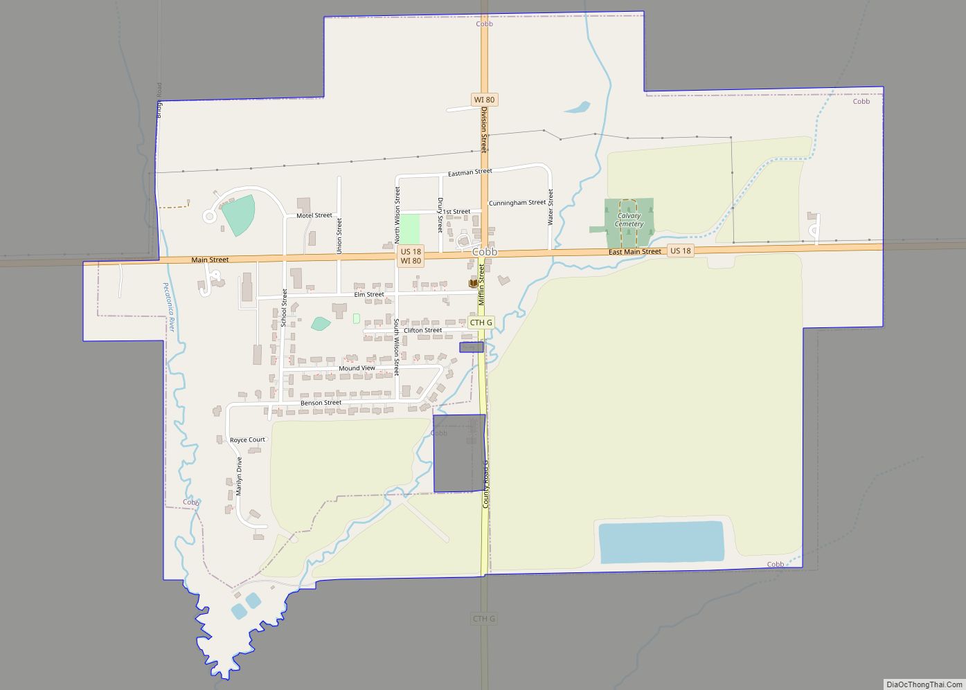
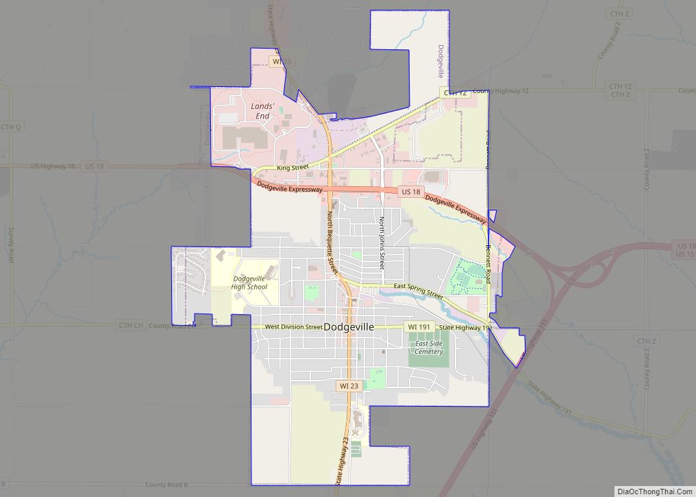
Iowa County is a county in the U.S. state of Wisconsin. As of the 2020 census, the population was 23,709. Its county seat and largest city is Dodgeville. When created, it was part of the Michigan Territory. Iowa County is part of the Madison, Wisconsin, Metropolitan Statistical Area.
| Name: | Iowa County |
|---|---|
| FIPS code: | 55-049 |
| State: | Wisconsin |
| Founded: | 1830 |
| Named for: | Iowa people |
| Seat: | Dodgeville |
| Largest city: | Dodgeville |
| Total Area: | 768 sq mi (1,990 km²) |
| Land Area: | 763 sq mi (1,980 km²) |
| Total Population: | 23,709 |
| Population Density: | 31.1/sq mi (12.0/km²) |
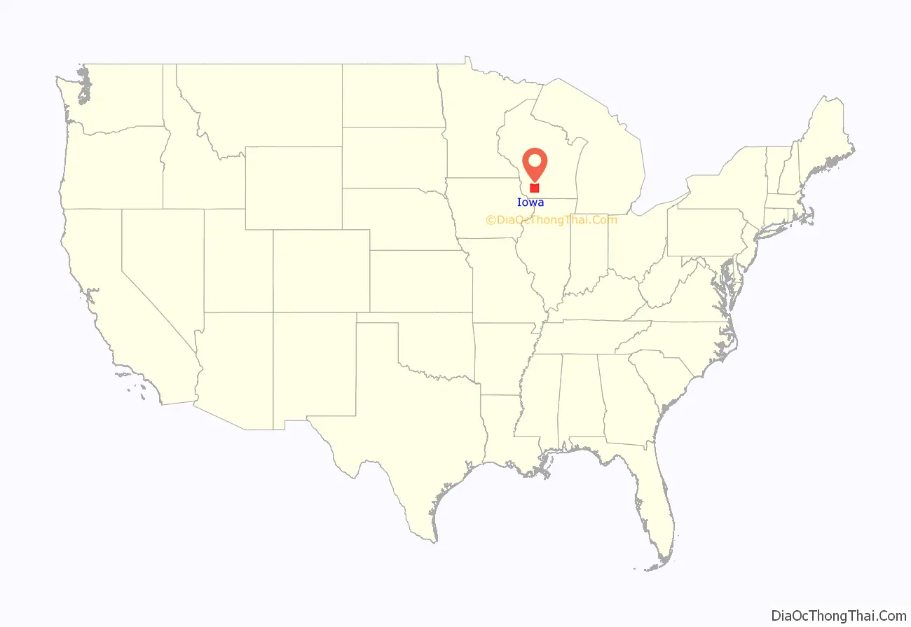
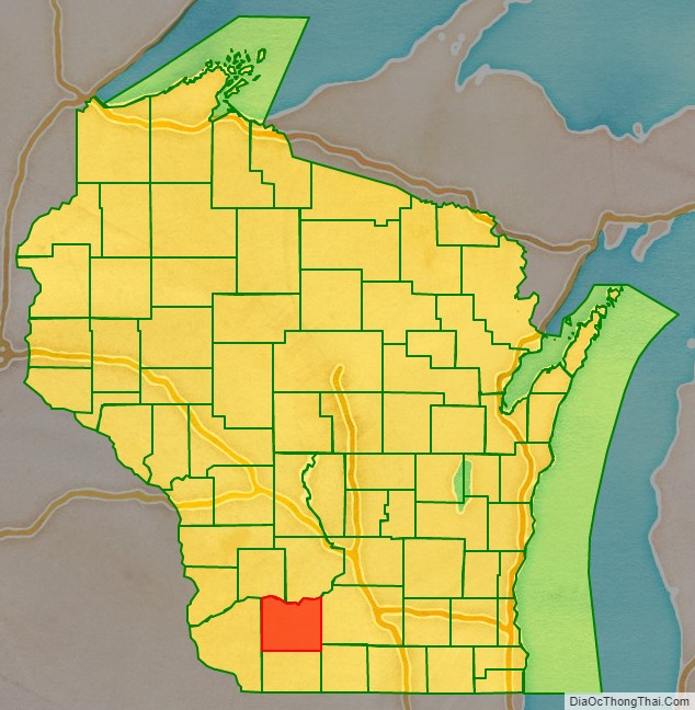
Iowa County location map. Where is Iowa County?
History
The county organized under the Michigan Territory government in 1830. It was named for the Iowa tribe.
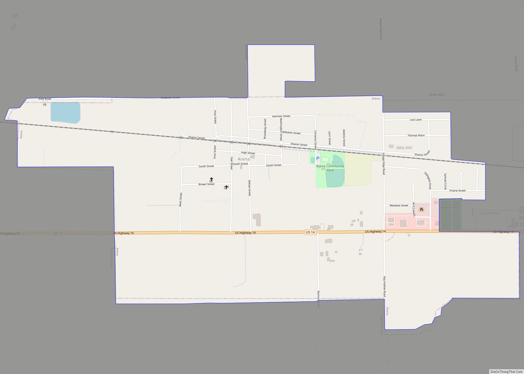
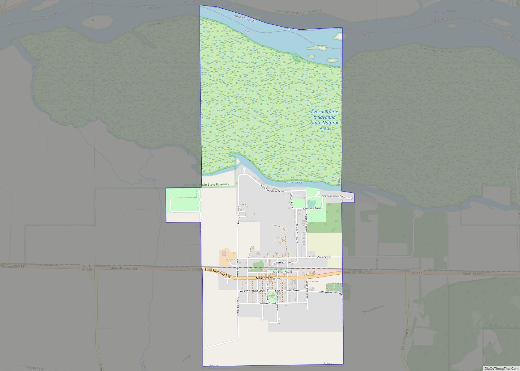
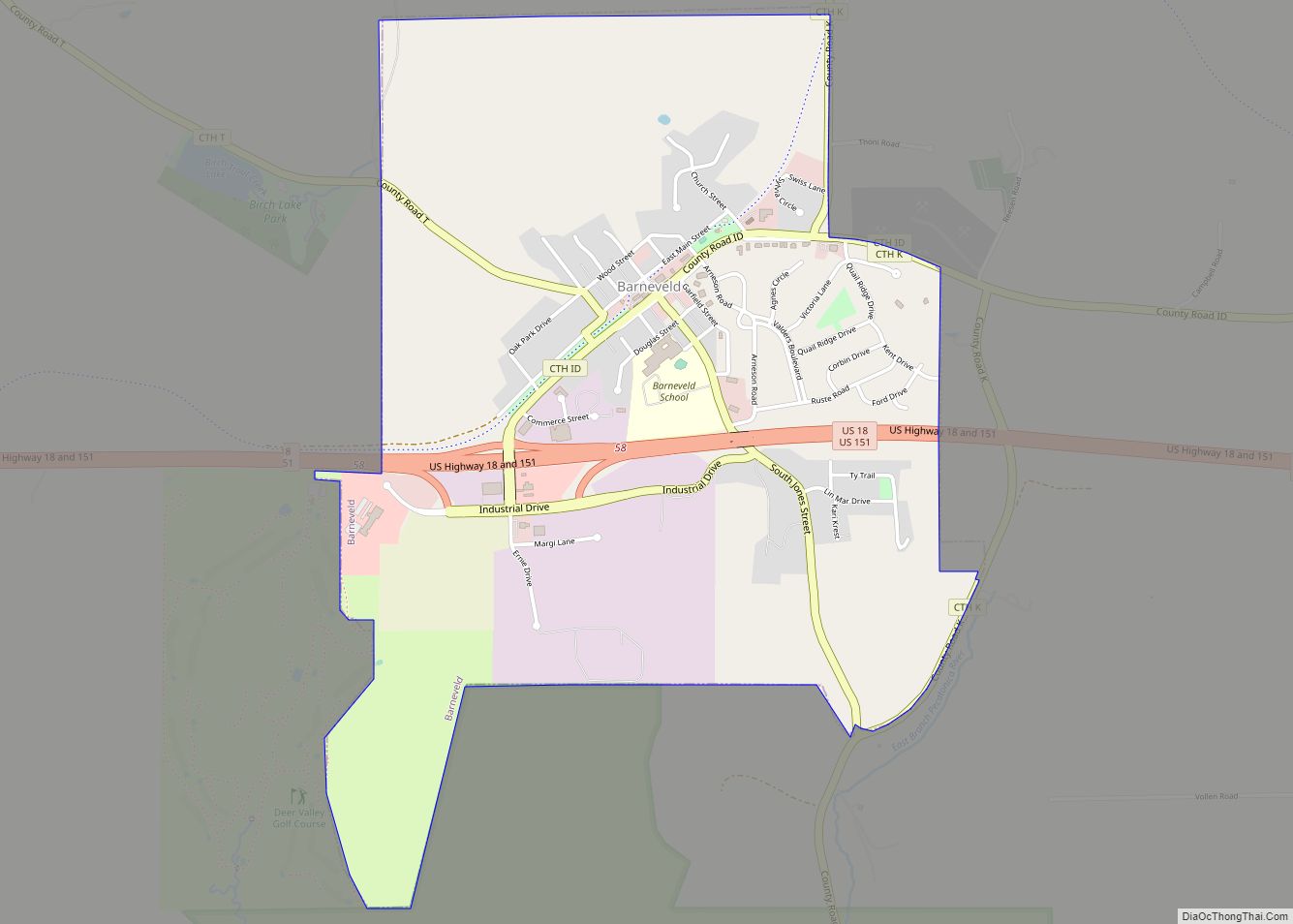
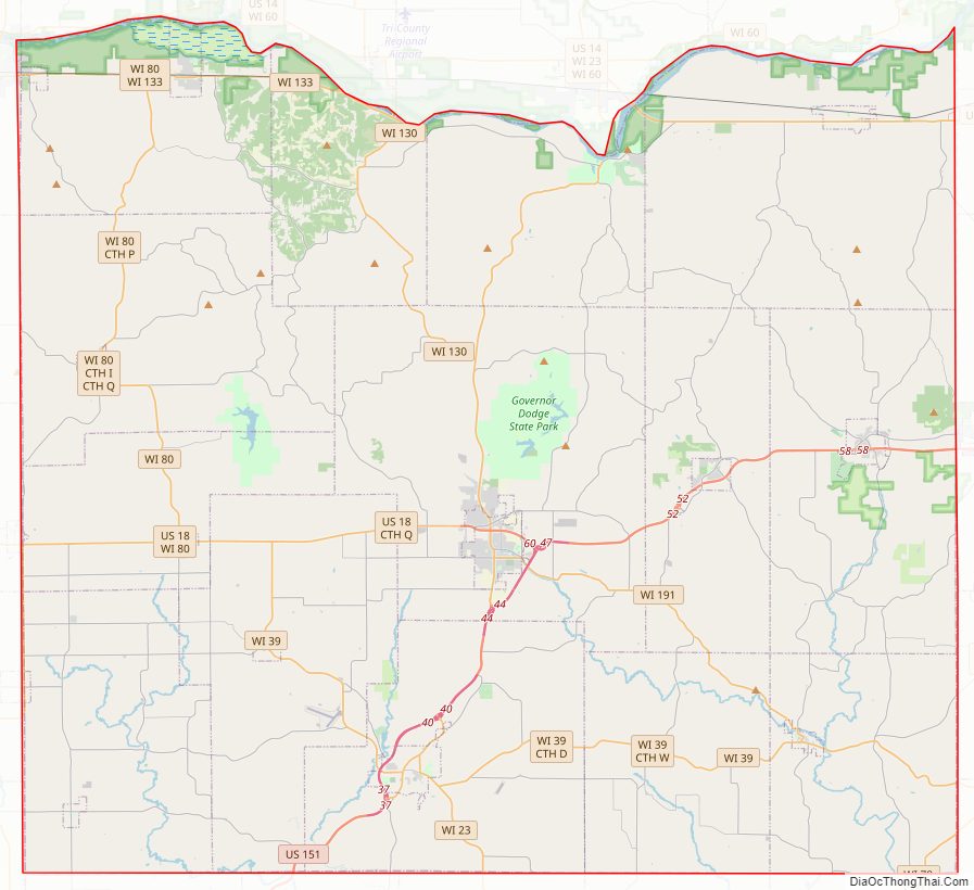
Iowa County Road Map
Geography
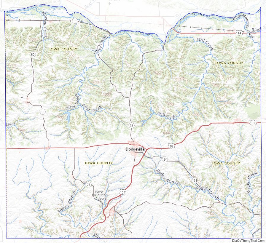
According to the U.S. Census Bureau, the county has an area of 768 square miles (1,990 km), of which 763 square miles (1,980 km) is land and 5.4 square miles (14 km) (0.7%) is water. It is drained by tributaries of the Pecatonica River, which has its headwaters in the county. The highest point in the county is West Blue Mound at 1,716 ft. above sea level. The lowest point is the Wisconsin river at the Grant County line at 667 ft. above sea level.
Rivers and streams
- Harker Creek
Major highways
- U.S. Highway 14
- U.S. Highway 18
- U.S. Highway 151
- Highway 23 (Wisconsin)
- Highway 39 (Wisconsin)
- Highway 78 (Wisconsin)
- Highway 80 (Wisconsin)
- Highway 130 (Wisconsin)
- Highway 133 (Wisconsin)
- Highway 191 (Wisconsin)
Railroads
- Wisconsin and Southern Railroad
Buses
- List of intercity bus stops in Wisconsin
Airport
- Iowa County Airport (KMRJ) serves the county and surrounding communities.
Iowa County Topographic Map
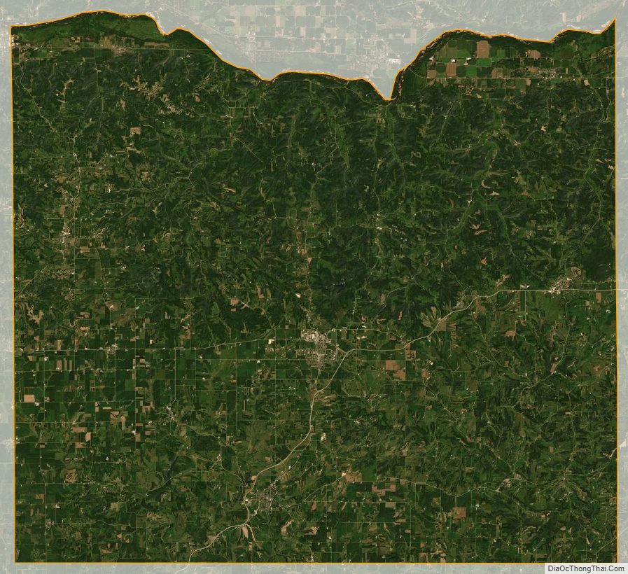
Iowa County Satellite Map
Iowa County Outline Map