Dodgeville is a city in and the county seat of Iowa County, Wisconsin, United States. The population was 4,984 at the 2020 census, making it the county’s most populous city. Dodgeville is part of the Madison Metropolitan Statistical Area.
| Name: | Dodgeville city |
|---|---|
| LSAD Code: | 25 |
| LSAD Description: | city (suffix) |
| State: | Wisconsin |
| County: | Iowa County |
| Elevation: | 1,194 ft (364 m) |
| Total Area: | 4.06 sq mi (10.52 km²) |
| Land Area: | 4.06 sq mi (10.52 km²) |
| Water Area: | 0.00 sq mi (0.00 km²) |
| Total Population: | 4,984 |
| Population Density: | 1,215.61/sq mi (469.35/km²) |
| ZIP code: | 53533 |
| Area code: | 608 |
| FIPS code: | 5520350 |
| Website: | cityofdodgeville.com |
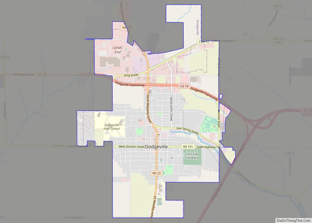
Online Interactive Map
Click on ![]() to view map in "full screen" mode.
to view map in "full screen" mode.
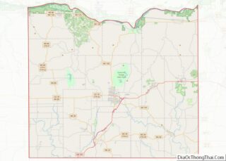
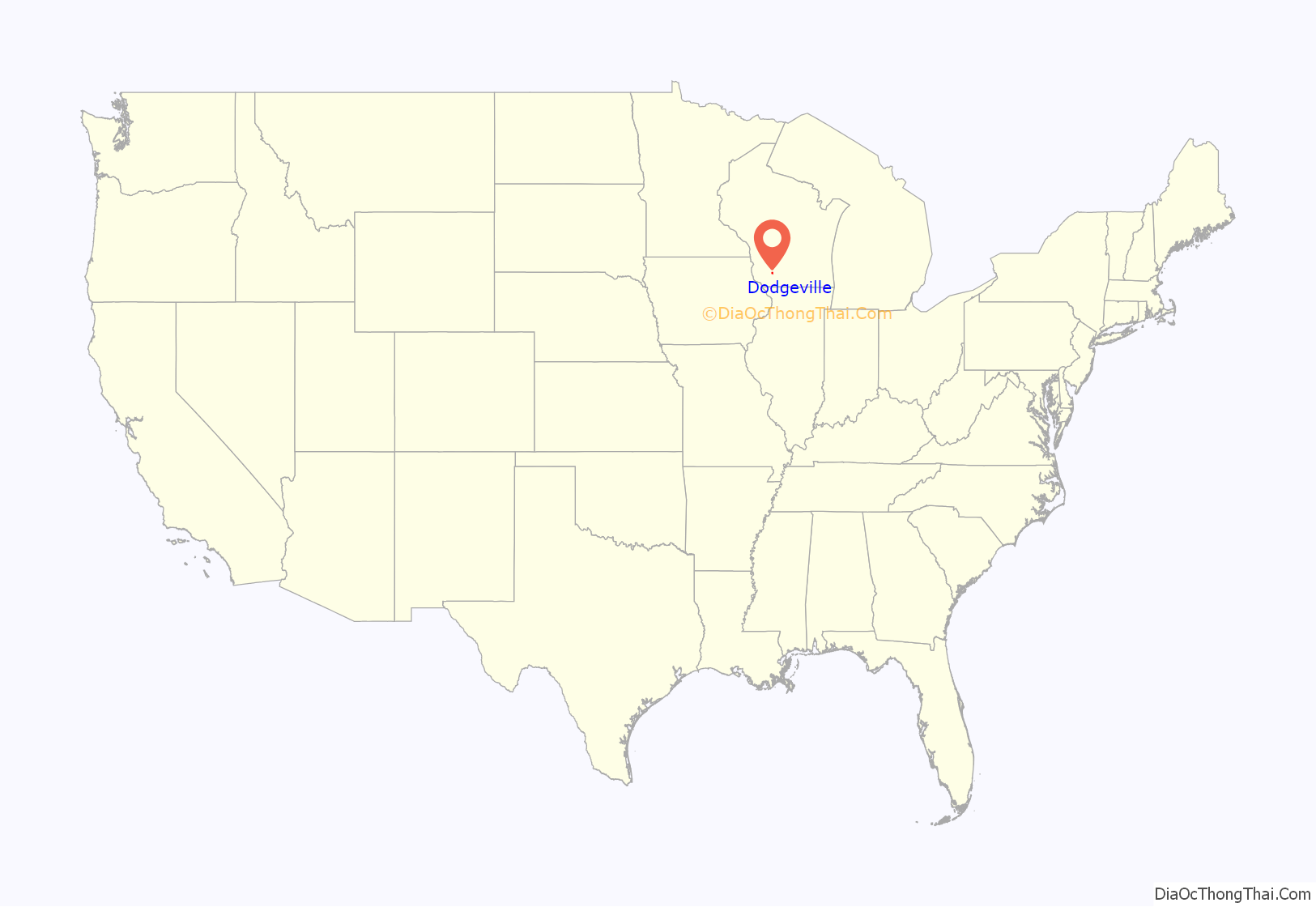
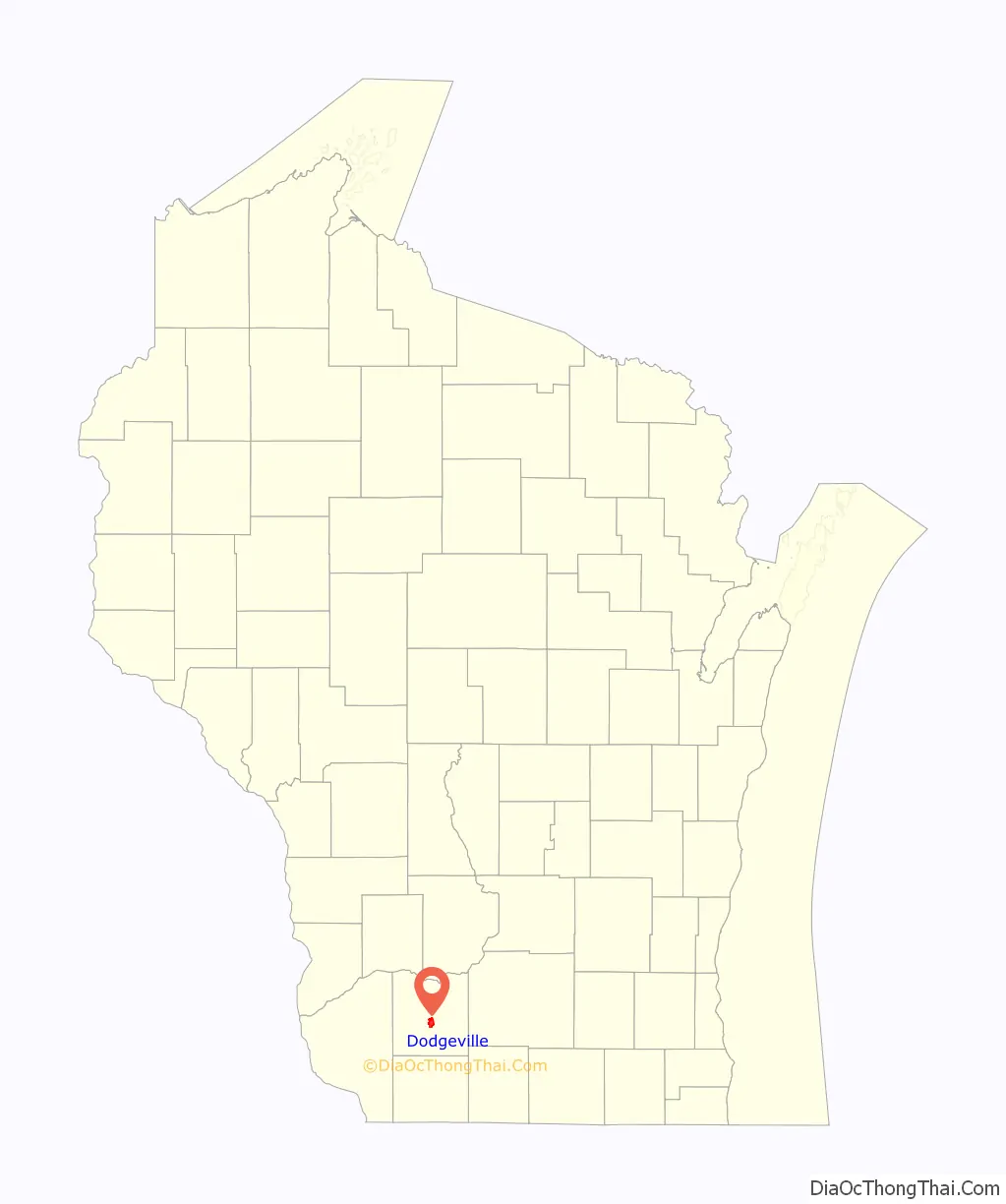
Dodgeville location map. Where is Dodgeville city?
History
In 1827, Henry Dodge, his family, and about 40 miners began what would become the city of Dodgeville. Dodge made a pact with the local Winnebago Indian leaders so he could build a cabin and smelter. The original community had three settlements: “Dodgeville”, “Dirty Hollow” and “Minersville”. A fourth settlement, Moon Spring, near the intersection of the present Highway 18 bypass and Bennett Road flourished until the cholera epidemic in the early 1850s.
Dodgeville, which was named after Dodge, grew slowly during its early years. It was incorporated as a village in the 1840s. Later a small “war” was fought with Mineral Point over which community would become the seat of Iowa County after Lafayette County was created. At the time, Mineral Point was the seat, because it was centrally located in the ‘old’ Iowa County that stretched from the Wisconsin River in the north south to the Illinois border.
The County seat eventually moved to Dodgeville because of its central location in the ‘new’ Iowa County. Dodgeville’s population grew rapidly, and it became a center for mining and later, dairy product manufacturing and shipping. Miners from England flooded the city, and British and Cornish architecture is still visible in the city today. Dodgeville became the largest city in Wisconsin at the time as well as most of the Midwest north or St. Louis, and west of Cincinnati. The community’s boom didn’t last long though, and with the decline of mining its population was overtaken by rapidly growing cities like Chicago and Milwaukee.
Several factors led to the decline in importance of mining, including the Black Hawk War, the California Gold Rush, the Civil War, and the emergence of farming, leading to Dodgeville’s development as a business and agricultural center. Today the city is most commonly known for being the headquarters for the apparel company Lands’ End.
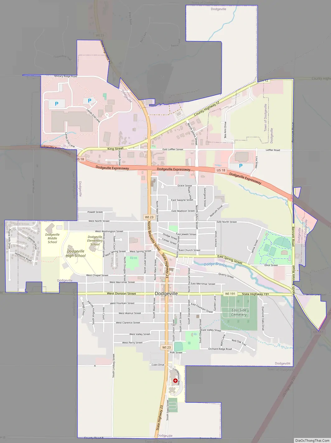
Dodgeville Road Map
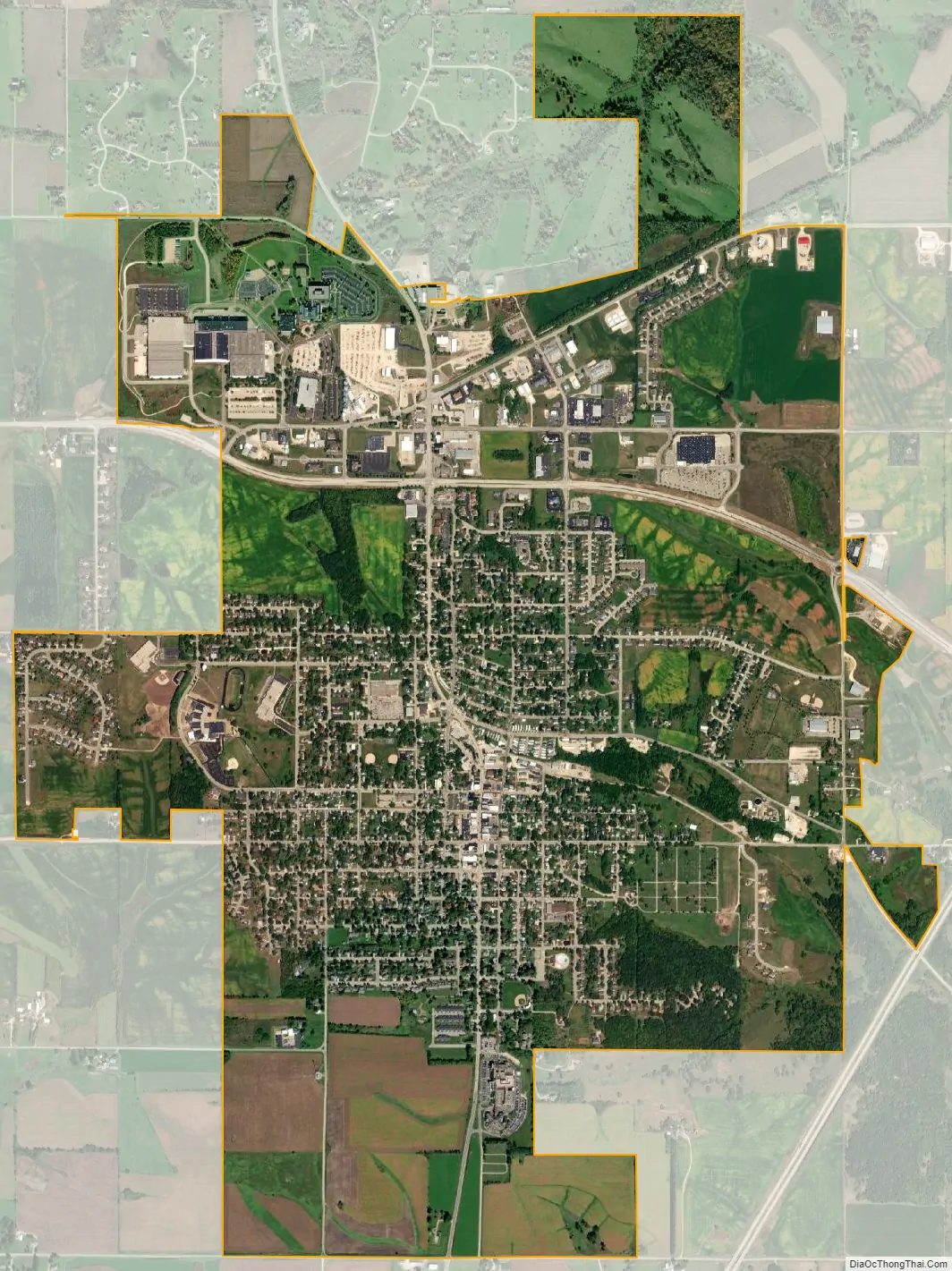
Dodgeville city Satellite Map
Geography
Dodgeville is located at 42°57′48″N 90°7′52″W / 42.96333°N 90.13111°W / 42.96333; -90.13111 (42.963373, -90.131161).
According to the United States Census Bureau, the city has a total area of 4.06 square miles (10.52 km), all of it land.
See also
Map of Wisconsin State and its subdivision:- Adams
- Ashland
- Barron
- Bayfield
- Brown
- Buffalo
- Burnett
- Calumet
- Chippewa
- Clark
- Columbia
- Crawford
- Dane
- Dodge
- Door
- Douglas
- Dunn
- Eau Claire
- Florence
- Fond du Lac
- Forest
- Grant
- Green
- Green Lake
- Iowa
- Iron
- Jackson
- Jefferson
- Juneau
- Kenosha
- Kewaunee
- La Crosse
- Lafayette
- Lake Michigan
- Lake Superior
- Langlade
- Lincoln
- Manitowoc
- Marathon
- Marinette
- Marquette
- Menominee
- Milwaukee
- Monroe
- Oconto
- Oneida
- Outagamie
- Ozaukee
- Pepin
- Pierce
- Polk
- Portage
- Price
- Racine
- Richland
- Rock
- Rusk
- Saint Croix
- Sauk
- Sawyer
- Shawano
- Sheboygan
- Taylor
- Trempealeau
- Vernon
- Vilas
- Walworth
- Washburn
- Washington
- Waukesha
- Waupaca
- Waushara
- Winnebago
- Wood
- Alabama
- Alaska
- Arizona
- Arkansas
- California
- Colorado
- Connecticut
- Delaware
- District of Columbia
- Florida
- Georgia
- Hawaii
- Idaho
- Illinois
- Indiana
- Iowa
- Kansas
- Kentucky
- Louisiana
- Maine
- Maryland
- Massachusetts
- Michigan
- Minnesota
- Mississippi
- Missouri
- Montana
- Nebraska
- Nevada
- New Hampshire
- New Jersey
- New Mexico
- New York
- North Carolina
- North Dakota
- Ohio
- Oklahoma
- Oregon
- Pennsylvania
- Rhode Island
- South Carolina
- South Dakota
- Tennessee
- Texas
- Utah
- Vermont
- Virginia
- Washington
- West Virginia
- Wisconsin
- Wyoming