Jackson County is the northeasternmost county in the U.S. state of Alabama. As of the 2020 census, the population was 52,579. The county seat is Scottsboro. The county was named for Andrew Jackson, general in the United States Army and afterward President of the United States of America. Jackson County is a prohibition or dry county, but three cities within the county (Bridgeport, Scottsboro, and Stevenson) are “wet”, allowing alcohol sales. Jackson County comprises the Scottsboro, AL Micropolitan Statistical Area, And Jackson county is included in the Scottsboro-Fort Payne combined statistical areas. It is the site of Russell Cave National Monument, an archeological site with evidence of 8,000 years of human occupation in the Southeast.
| Name: | Jackson County |
|---|---|
| FIPS code: | 01-071 |
| State: | Alabama |
| Founded: | December 13, 1819 |
| Named for: | Andrew Jackson |
| Seat: | Scottsboro |
| Largest city: | Scottsboro |
| Total Area: | 1,127 sq mi (2,920 km²) |
| Land Area: | 1,078 sq mi (2,790 km²) |
| Total Population: | 52,579 |
| Population Density: | 47/sq mi (18/km²) |
| Time zone: | UTC−6 (Central) |
| Summer Time Zone (DST): | UTC−5 (CDT) |
| Website: | www.jacksoncountyal.gov |
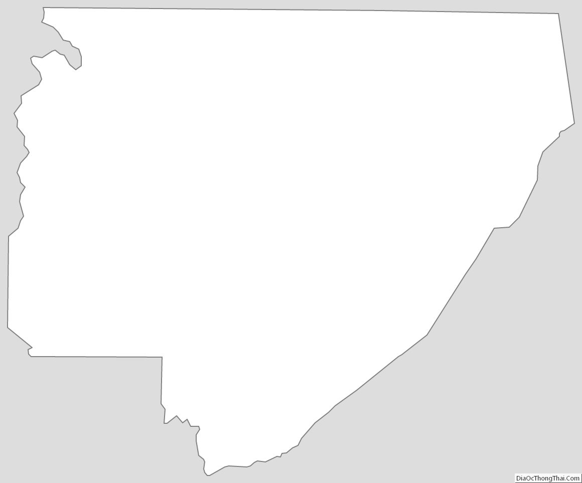
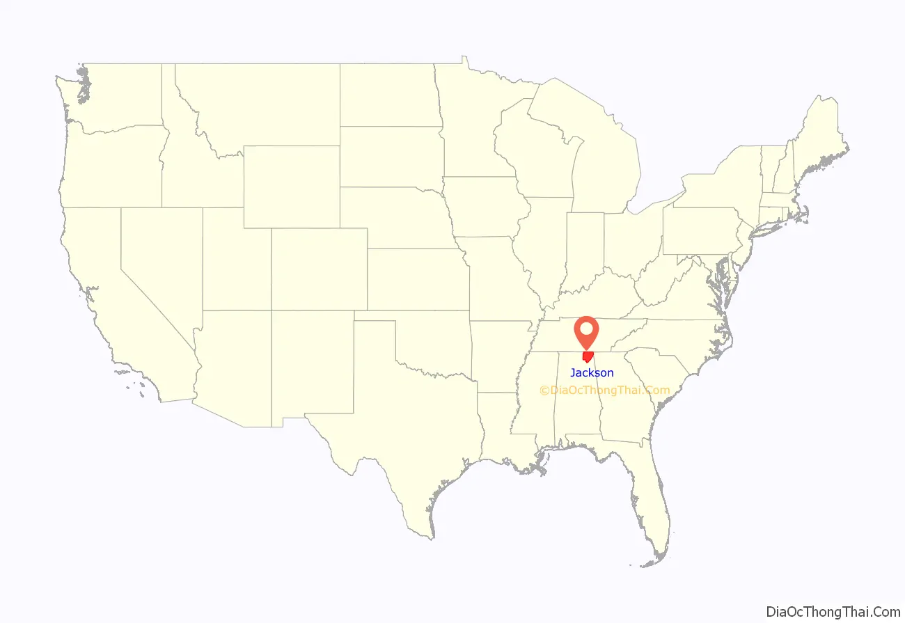
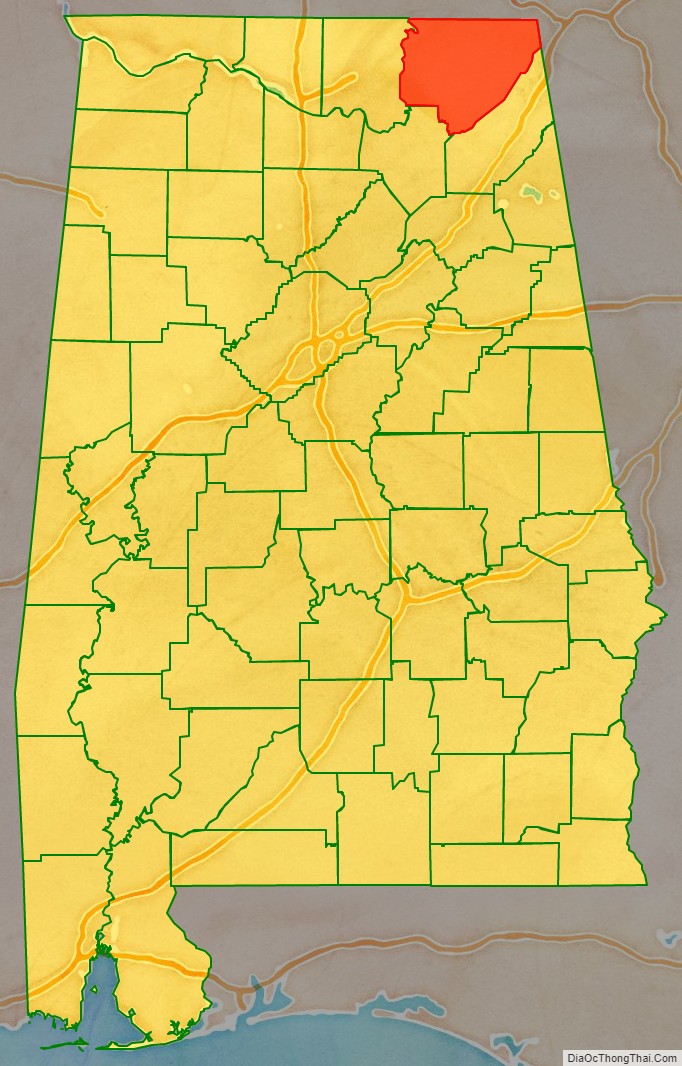
Jackson County location map. Where is Jackson County?
History
Jackson County was established on December 13, 1819, after the federal government arranged a treaty to remove the Cherokee from the area and extinguish their land claims. The hilly and mountainous terrain of the Appalachians made the area unsuitable for the plantation-style agriculture of the lowlands and coastal area. It was settled largely by families from Tennessee, South Carolina, and Georgia.
This area was developed largely for subsistence farming, and few families held any slaves. For instance, in 1860, Bellefonte, Alabama, then the county seat and largest community in the county, had a population of 181, of whom eight were free blacks and the remainder were white. No slaves were recorded in that community.
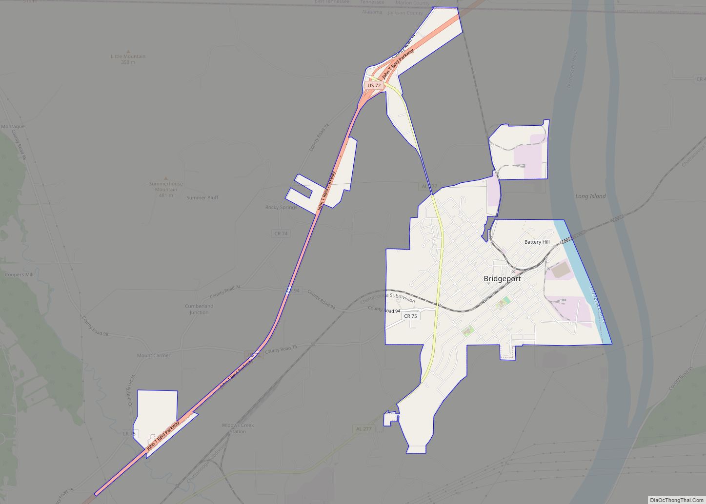
The county is crossed by a number of rivers and waterways; the most important is the Tennessee River, which drains most of the county. The current county seat of Scottsboro developed along the river, and was also the site of a railroad station when railroads reached the area. Hydroelectric power was developed in the first quarter of the 20th century to generate energy for industry. By the mid-20th century, industry had replaced agriculture as the most important element of the economy.
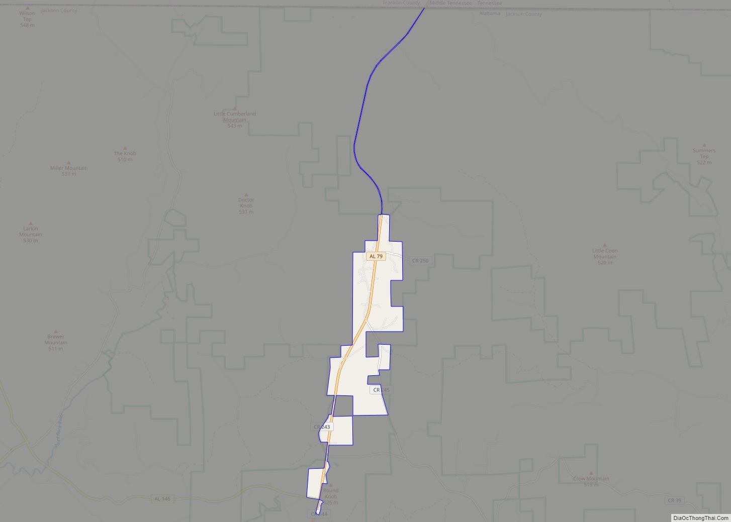
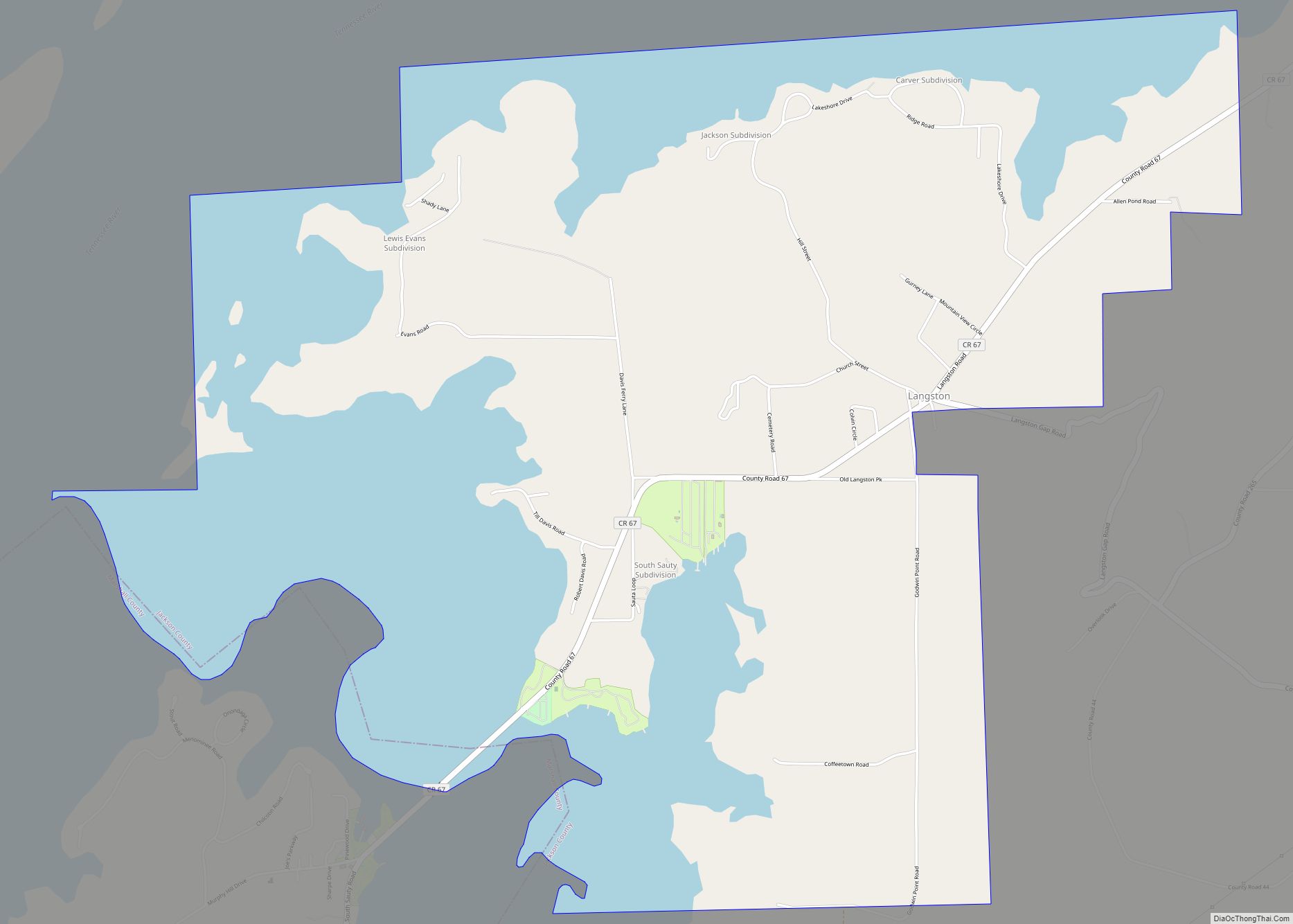
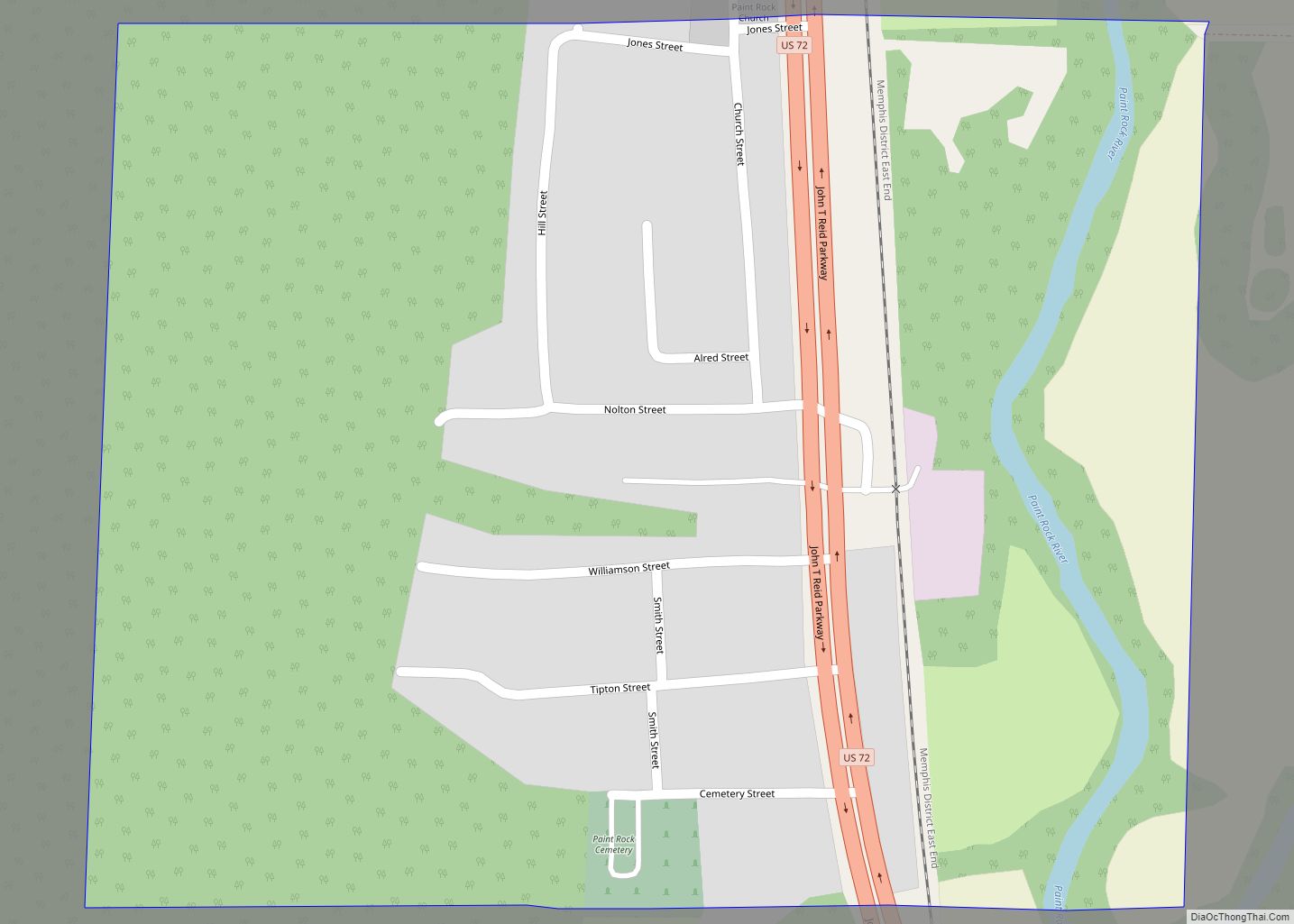
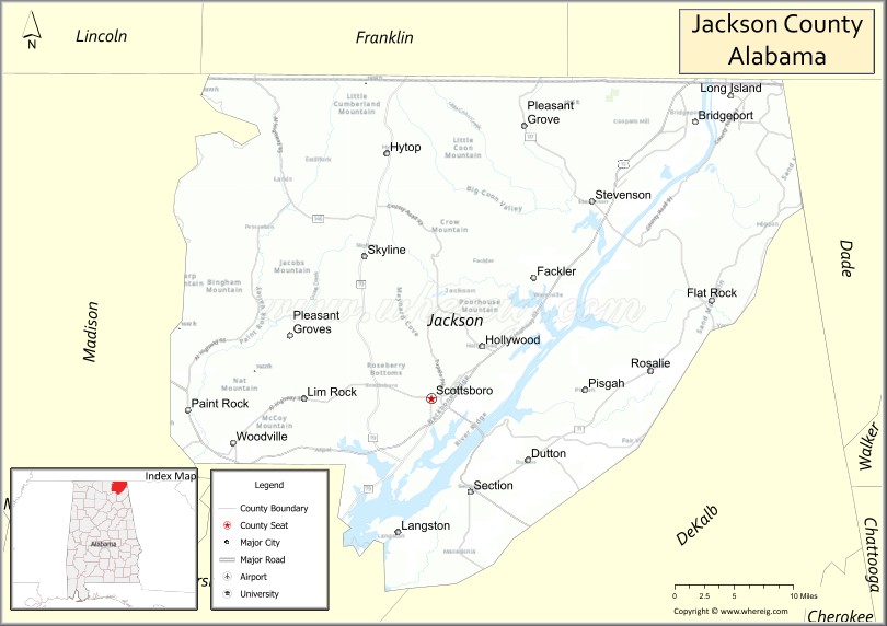
Jackson County Road Map
Geography
According to the United States Census Bureau, the county has a total area of 1,127 square miles (2,920 km), of which 1,078 square miles (2,790 km) is land and 49 square miles (130 km) (%) is water. It is the fifth-largest county in Alabama by total area. Much of it is located in the Appalachians.
Of special interest is Russell Cave National Monument, which is located in Doran Cove, approximately 5 miles west of the town of Bridgeport. It is believed to offer “one of the most complete records of prehistoric culture in the southeast United States.” Russell Cave was declared a National Monument in May 1961 by President John F. Kennedy. The Monument consists of 310 acres (1.3 km) of land donated by the National Geographic Society.
The cave is an important archaeological site that was excavated in 1956 by the Smithsonian Institution and the National Geographic Society. The October 1956 issue of National Geographic Magazine featured an article reporting, “Life 8,000 Years Ago Uncovered in an Alabama Cave.” Evidence was found of human occupation of the cave from 6200 B.C. to A.D. 1650. The article was written by Carl F. Miller, the expedition leader. There have been follow-up studies about this site.
Adjacent counties
- Marion County, Tennessee – northeast
- Dade County, Georgia – east (EST)
- DeKalb County – southeast
- Marshall County – southwest
- Madison County – west
- Franklin County, Tennessee – northwest
National protected areas
- Fern Cave National Wildlife Refuge
- Russell Cave National Monument
- Sauta Cave National Wildlife Refuge
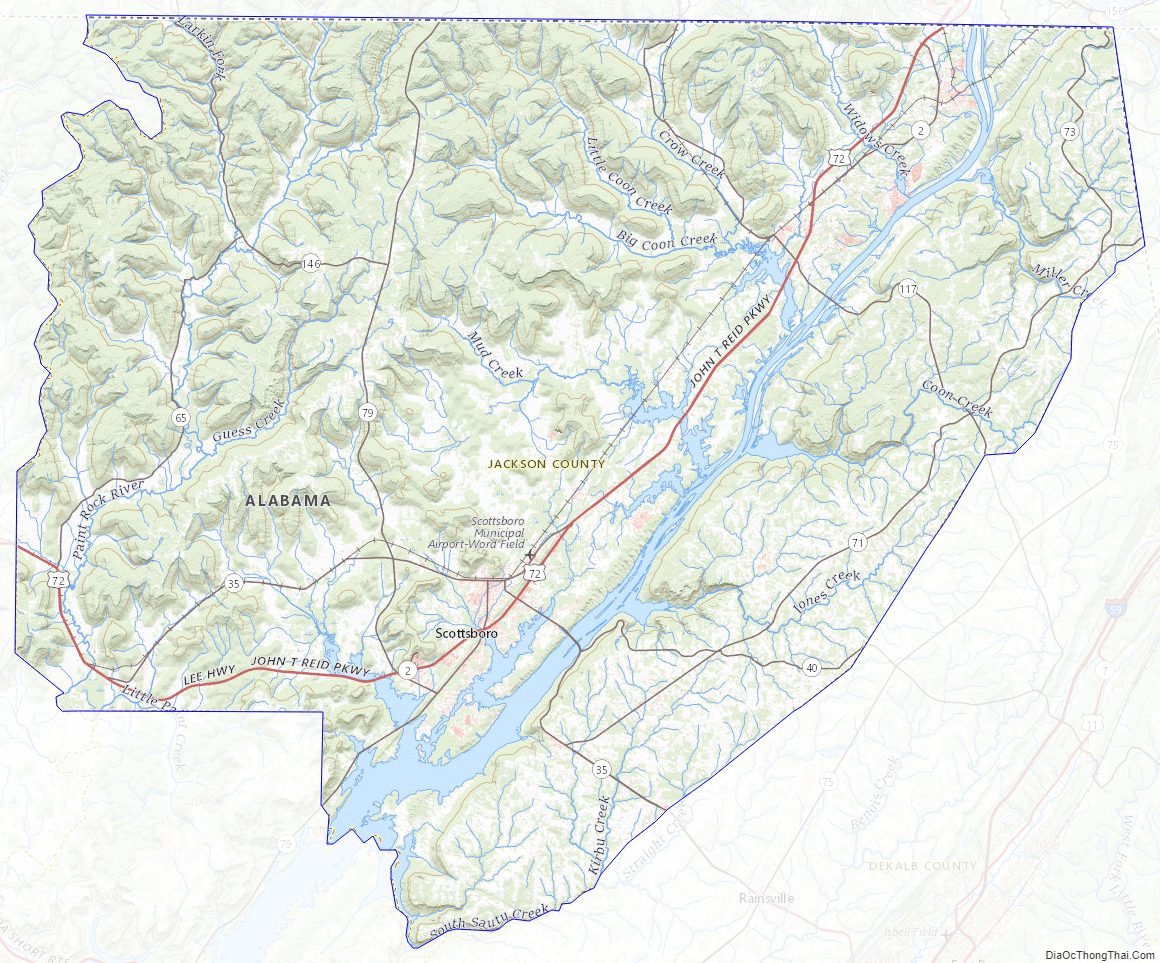
Jackson County Topographic Map
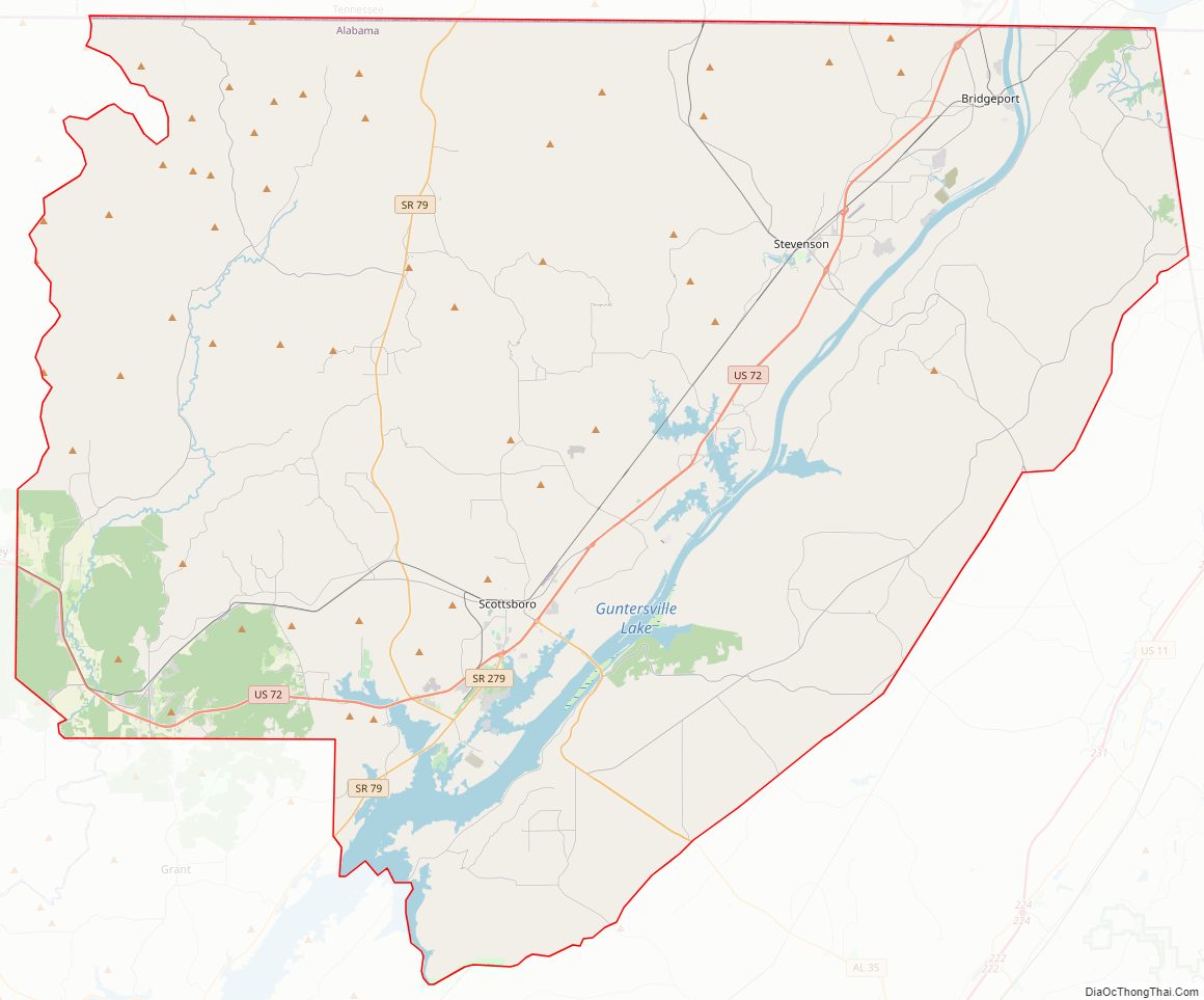
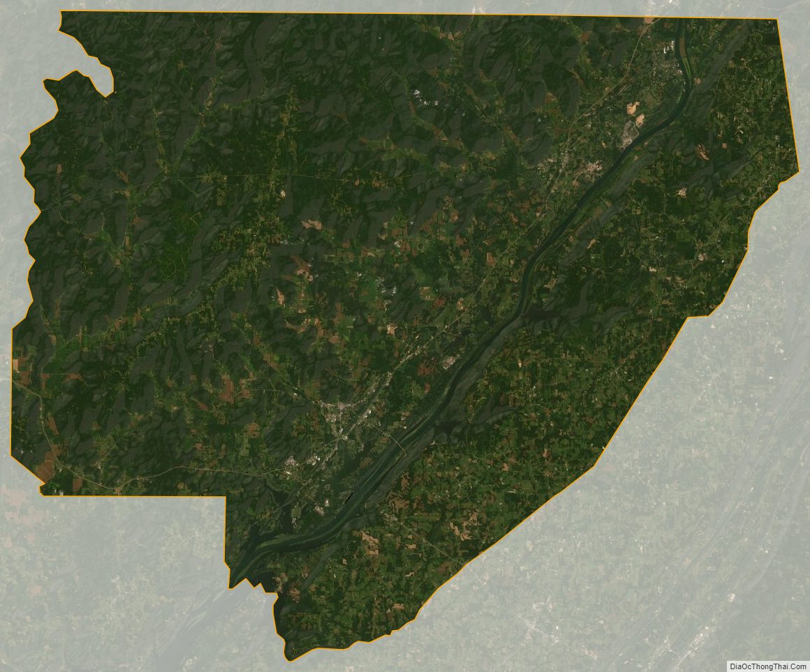
Jackson County Satellite Map
Jackson County Outline Map