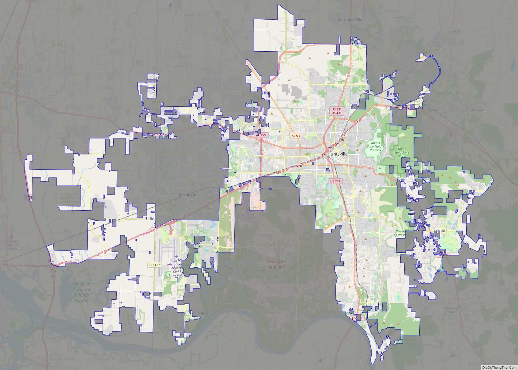
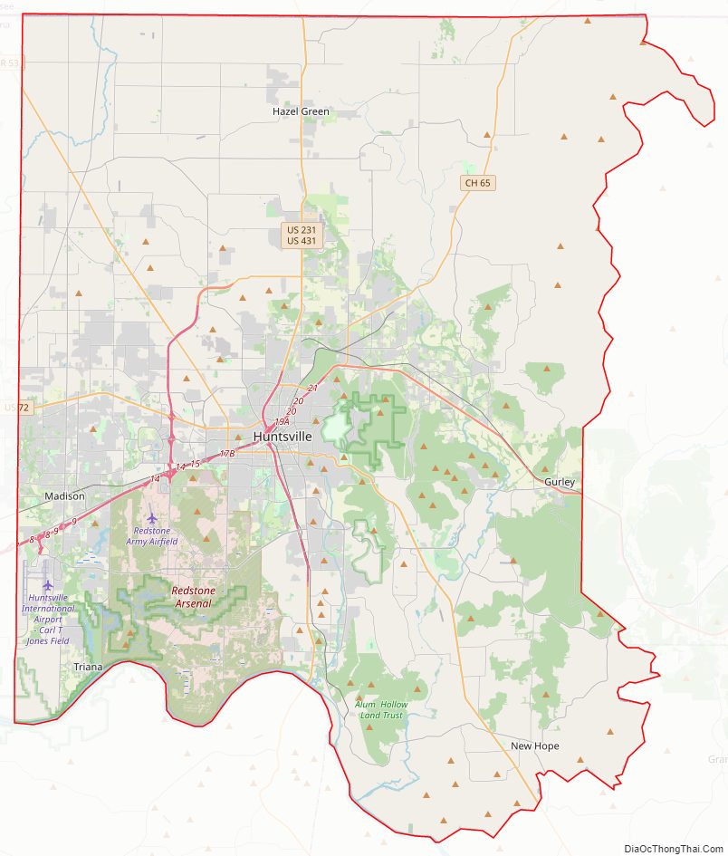
Madison County is located in the north central portion of the U.S. state of Alabama. As of the 2020 Census, the population was 388,153, making it the third-most populous county in Alabama. Its county seat is Huntsville. Since the mid-20th century it has become an area of defense and space research and industry.
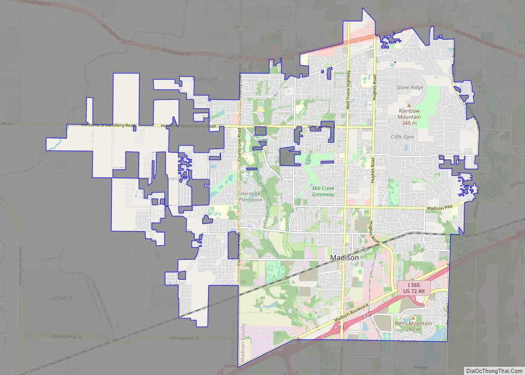
The county is named in honor of James Madison, fourth President of the United States and the first President to visit the state of Alabama. Madison County covers parts of the former Decatur County. Madison County is included in the Huntsville, Alabama Metropolitan Statistical Area.
| Name: | Madison County |
|---|---|
| FIPS code: | 01-089 |
| State: | Alabama |
| Founded: | December 13, 1808 |
| Named for: | James Madison |
| Seat: | Huntsville |
| Largest city: | Huntsville |
| Total Area: | 813 sq mi (2,110 km²) |
| Land Area: | 802 sq mi (2,080 km²) |
| Total Population: | 388,153 |
| Population Density: | 480/sq mi (180/km²) |
| Time zone: | UTC−6 (Central) |
| Summer Time Zone (DST): | UTC−5 (CDT) |
| Website: | www.madisoncountyal.gov |
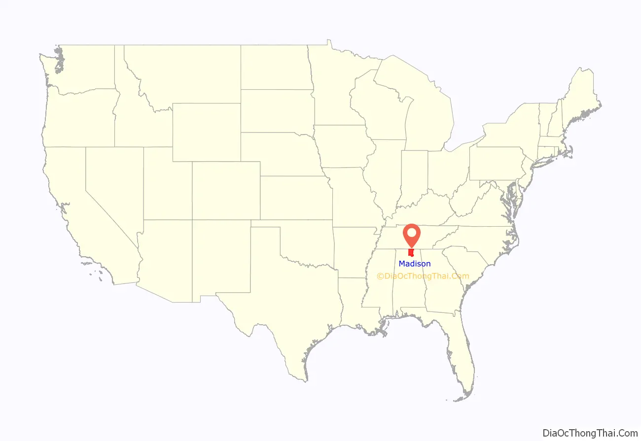
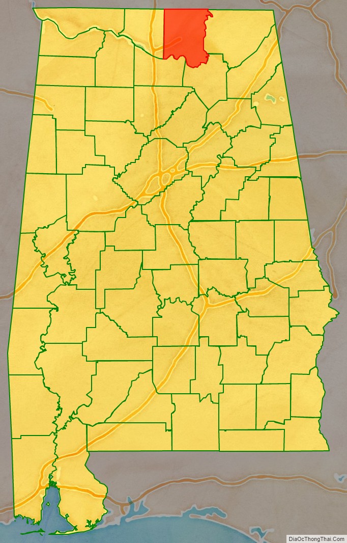
Madison County location map. Where is Madison County?
History
Madison County was established on December 13, 1808, by the governor of the Mississippi Territory. It is recognized as the “birthplace” of the state of Alabama, which was admitted to the Union on December 14, 1819. Huntsville was designated as the first capital of the new state.
For much of the county’s history, its economy was based on agriculture, particularly cotton plantations, which were established across the uplands. These plantations and their owners’ profits were dependent on the labor of enslaved African Americans before the Civil War. Madison County was one of the largest cotton-producing counties in the state.
Cotton remained important after the war. Most labor for cultivation was still provided by African Americans, but they worked as sharecroppers and tenant farmers. By the late 19th century, textile mills had been established around the county; they were restricted to white workers by the Jim Crow practices of racial segregation. During the early 20th century, the economy continued to be largely agricultural, although textile mills expanded their production.
During World War II, the Army established Redstone Arsenal here as a chemical weapon manufacturing site, and the county attracted related industries. After the war, it became a center of new weapon and rocket development. In 1950, a group of exiled German rocket scientists, led by Wernher von Braun, came to Redstone Arsenal from Fort Bliss, Texas in order to conduct research and development of new types of rockets.
By the 1960s, research expanded to rockets for space exploration. The Redstone rocket was modified to launch the first two Americans into space. The US began to emphasize investment in the Space Race, in order to compete with the Soviet Union during the Cold War years and to increase scientific gains. This work in the defense and space industries has generated tens of thousands of jobs in the area, most of them private contractors working in these fields. The population of Madison County has risen from 72,903 in 1950 to an estimated 395,211 in 2021.
Madison County Road Map
Geography
According to the United States Census Bureau, the county has a total area of 813 square miles (2,110 km), of which 802 square miles (2,080 km) is land and 11 square miles (28 km) (1.4%) is water.
The topography in the southern and eastern portions of the county is dominated by the dissected remnants of the Cumberland Plateau, such as Keel Mountain, Monte Sano Mountain and Green Mountain. The northern and western portions of the county are flatter.
Rivers
- Tennessee River
- Flint River
- Paint Rock River
Adjacent counties
- Lincoln County, Tennessee (north)
- Franklin County, Tennessee (northeast)
- Jackson County (east)
- Marshall County (southeast)
- Morgan County (southwest)
- Limestone County (west)
National protected area
- Wheeler National Wildlife Refuge (part)
Madison County Topographic Map
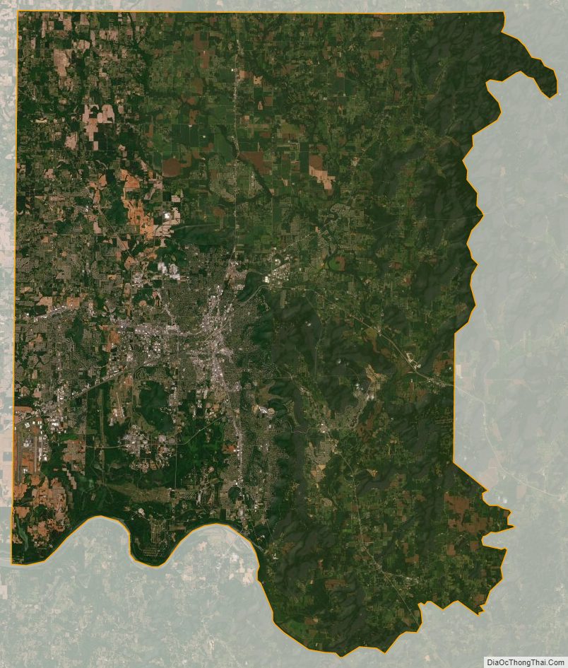
Madison County Satellite Map
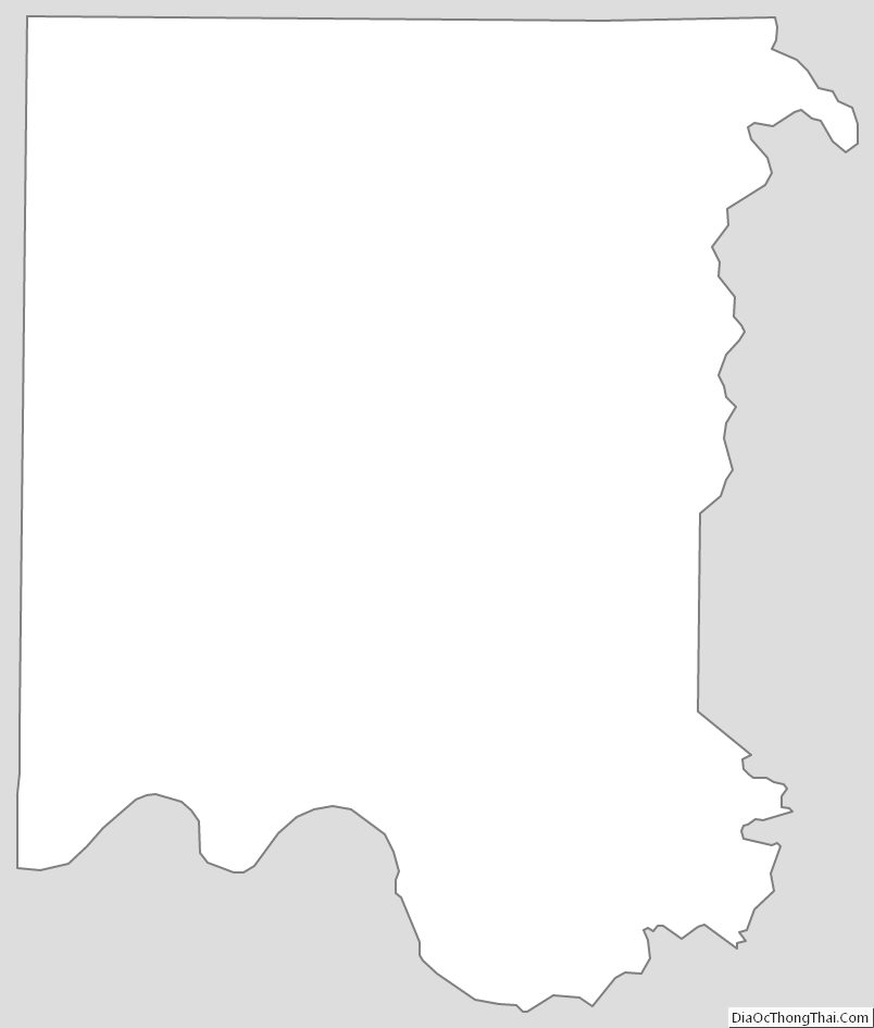
Madison County Outline Map