| Name: | Jackson County |
|---|---|
| FIPS code: | 48-239 |
| State: | Texas |
| Founded: | 1836 |
| Named for: | Andrew Jackson |
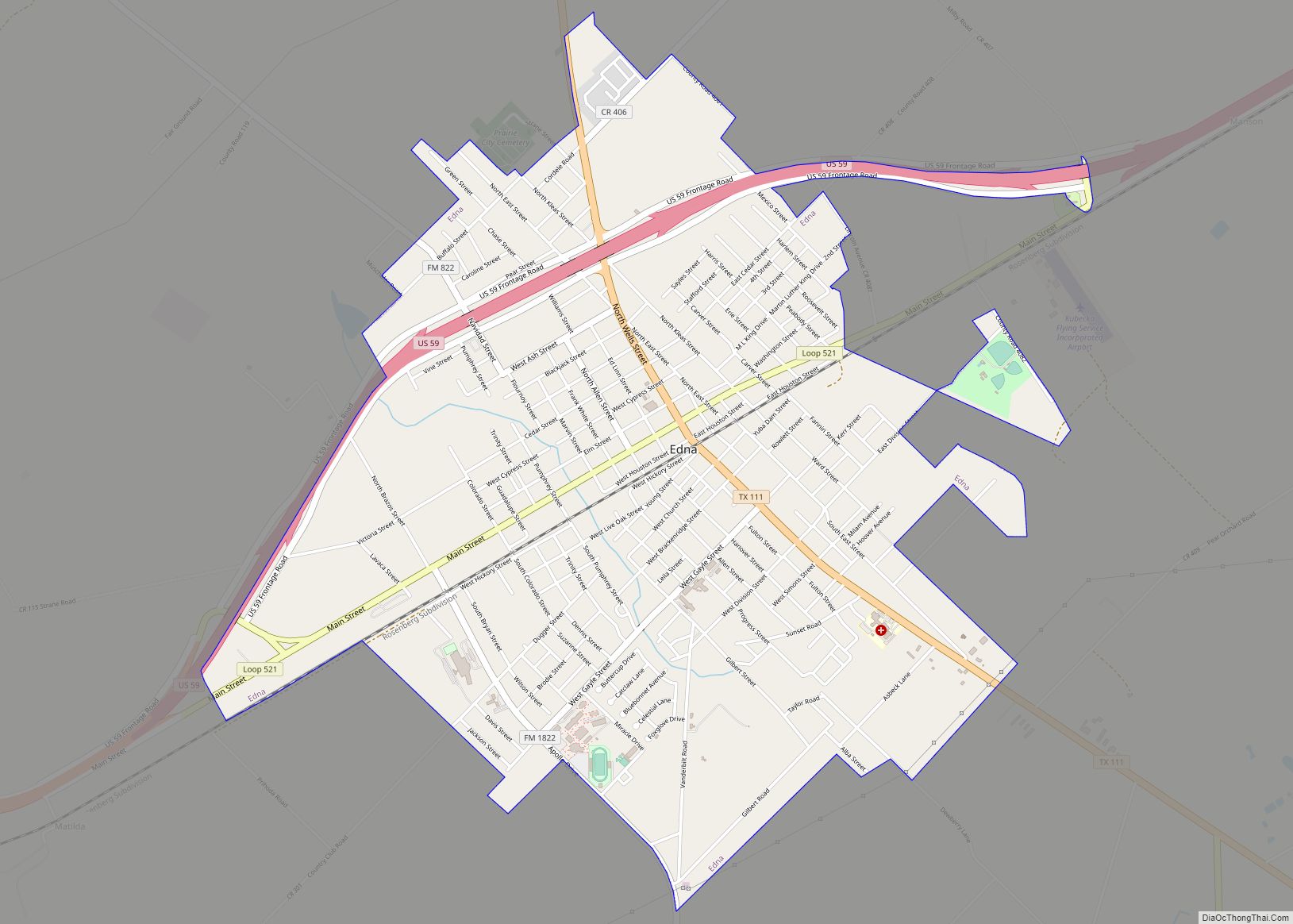
| Seat: | Edna |
| Largest city: | Edna |
| Total Area: | 857 sq mi (2,220 km²) |
| Land Area: | 829 sq mi (2,150 km²) |
| Total Population: | 14,988 |
| Population Density: | 17/sq mi (6.8/km²) |
| Time zone: | UTC−6 (Central) |
| Summer Time Zone (DST): | UTC−5 (CDT) |
| Website: | www.co.jackson.tx.us |
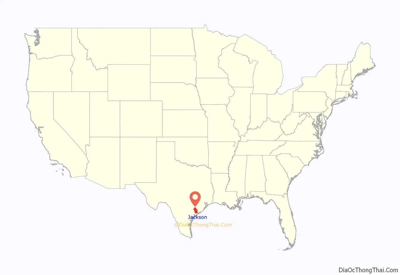
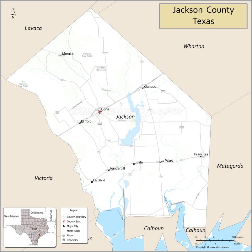
Jackson County location map. Where is Jackson County?
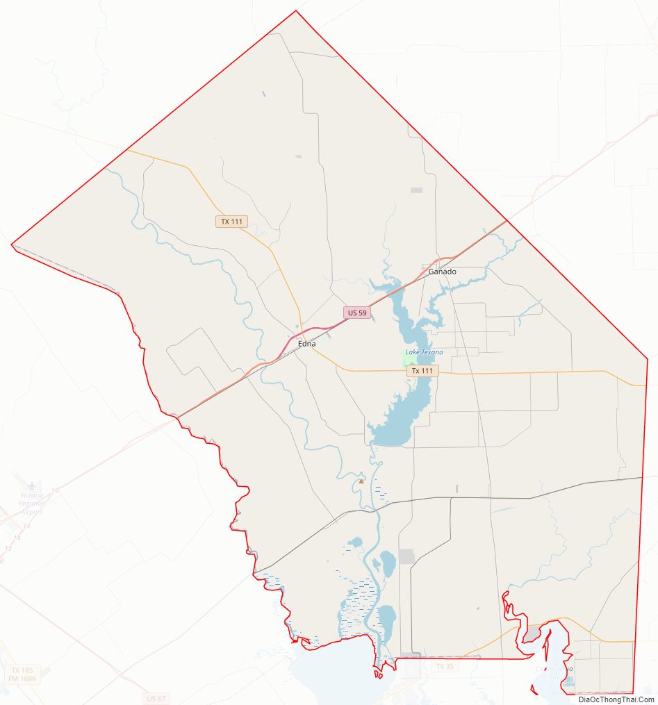
Jackson County Road Map
Geography
According to the U.S. Census Bureau, the county has a total area of 857 square miles (2,220 km), of which 829 square miles (2,150 km) is land and 27 square miles (70 km) (3.2%) is water.
Major highways
- U.S. Highway 59
- Interstate 69 is currently under construction and will follow the current route of U.S. 59 in most places.
- State Highway 35
- State Highway 111
- State Highway 172
- Farm to Market Road 234
- Farm to Market Road 616
- Farm to Market Road 1862
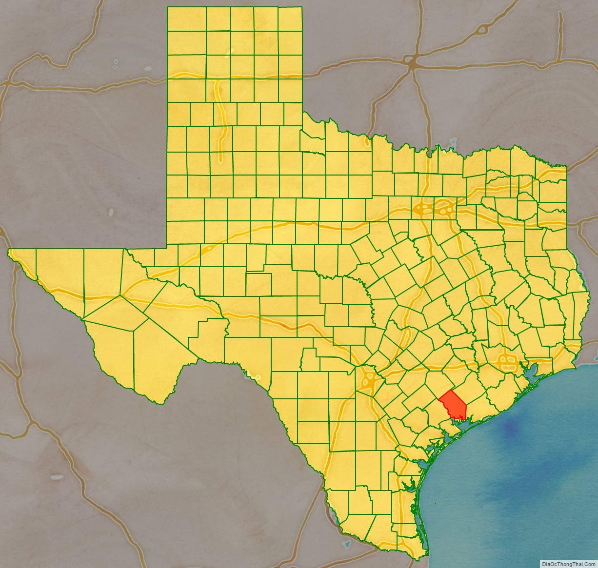
Adjacent counties
- Colorado County (north)
- Wharton County (northeast)
- Matagorda County (southeast)
- Calhoun County (south)
- Victoria County (southwest)
- Lavaca County (northwest)
Jackson County Topographic Map
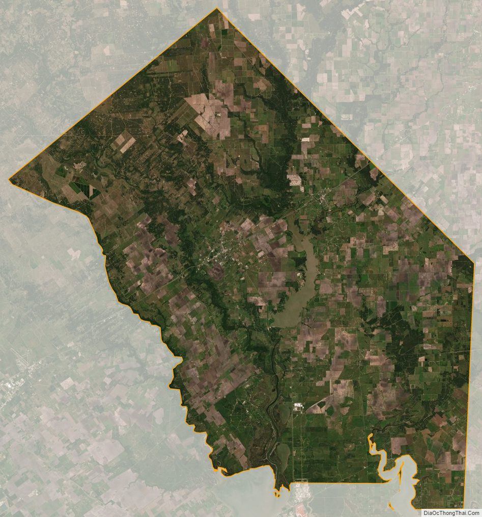
Jackson County Satellite Map
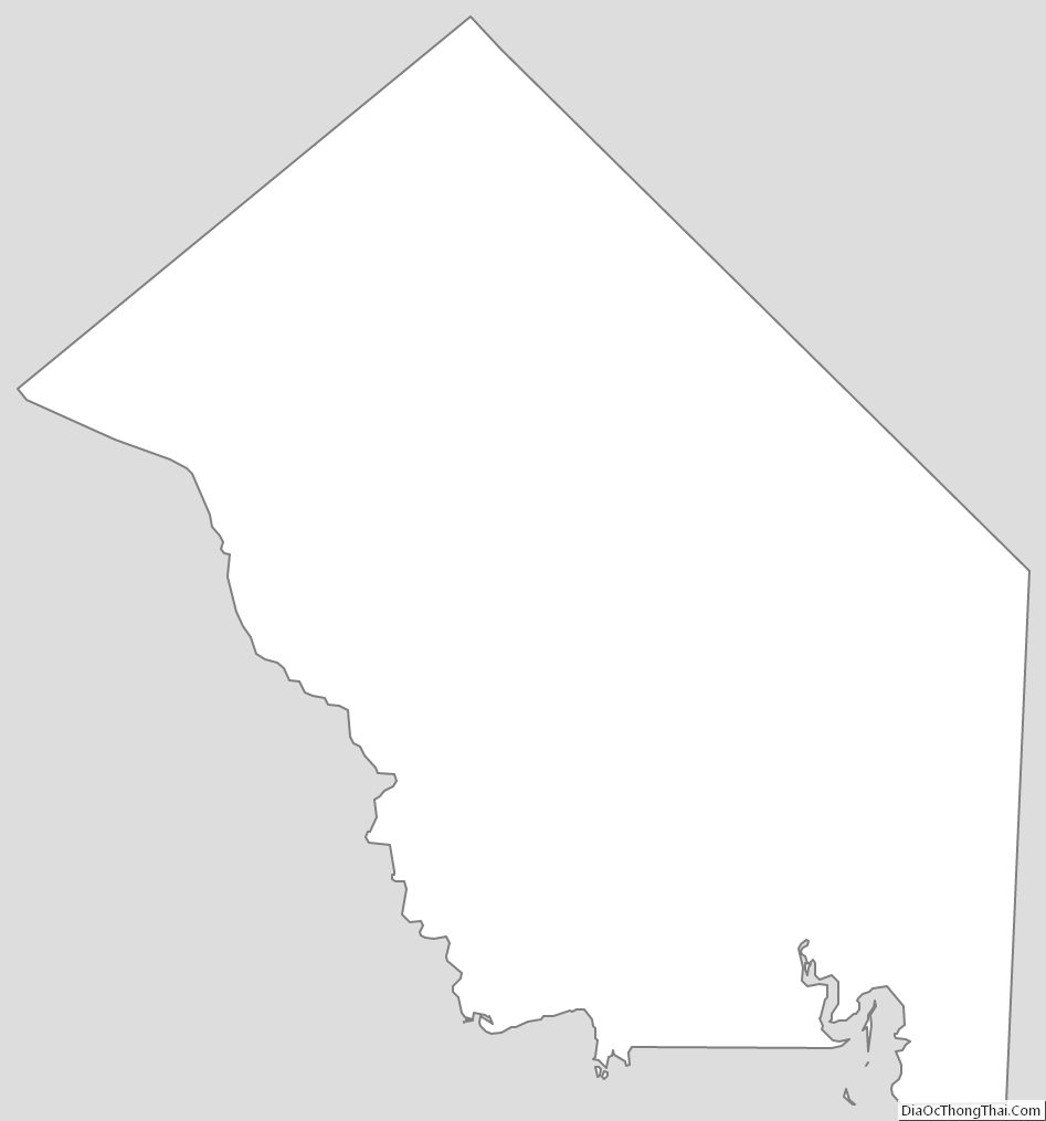
Jackson County Outline Map